Today was hiking day. I chose Ruta 18, the big circular walk around the Garajonay Park, which started from one of the miradors I had visited the day before. On my map I judged it was about 6km, so even with some up and down walking I should be done quickly and have time to drive around the island a bit more.
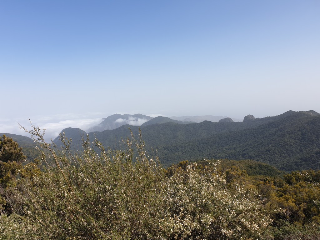
I drove up the valley road again and through the long tunnel into the park. At the mirador, I found signposts for route 18, but was a bit surprised that they said it was 14km long and should take 7 hours…. The hike started easily enough, along the top of a mountain ridge with fine views of Los Roques in the bright sunlight…..
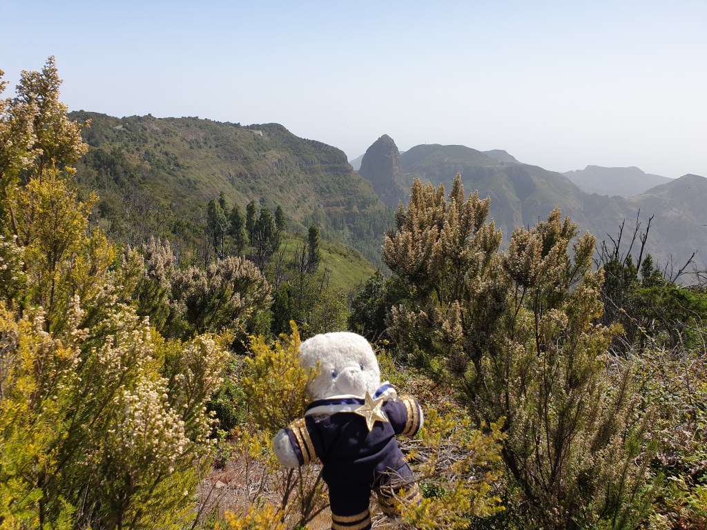
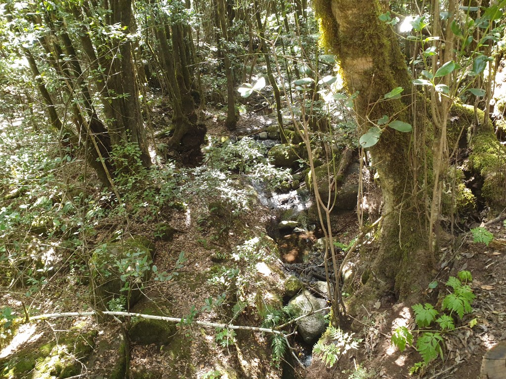
Then the path headed up a steep hill to yet more miradors with views, before diving down into a dense forest. The cool of the forest was a pleasant change after the heat of the exposed mountain side.
After a while there was a clearing with a tables and picnic area, where I met a little feathered friend. I offered him some biscuit crumbs.

Twenty minutes later, I got to a junction with three different options. The signs showing the path had disappeared, and I wasn’t sure which way to go. I picked the path that seemed to be heading in the right direction, towards the main road crossing the island, and walked for about 20 minutes. It was a paved track for cars, and I was encouraged that one or two cars did indeed drive past – surely this was the way to the main road? My phone initially showed I was going the right way, but then the little blob showing my location veered away back into the heart of the national park and away from where I wanted to go. I carried on anyway, hoping the path might change direction, and was very happy when I saw a parking area up ahead. Surely a sign that I was on a main route? My happiness was short-lived though, when I realised I was back at the picnic area where I’d fed the bird some 40 minutes ago.
I looked at my “tedimeter” – 10km already, and I was only just over half-way through the walk. I was hot and tired. I carefully studied the maps provided on the signposts in the picnic area, realised my mistake and set off again. At the confusing junction I took another paved track that led steeply up, and this eventually took me to the main road and finally a sign saying that I was indeed back on route 18.
The path crossed the road and led back into the forest. It went steeply up, but the knowledge that I was back on the right path and only a couple of km from the end gave me a renewed bust of energy.

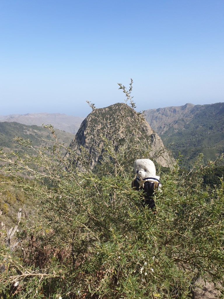
Suddenly the path opened up to the most spectacular view yet of Los Roques, so I sat down for a short break and to finish the last of my water.

It was a fitting reward for my efforts. Back at the car my “tedimeter” said I had walked 16km – so the signs were right, 14km plus my detour. The twists and turns and ups and downs had doubled the length compared to what my map seemed to show. It was lot more than I had expected, and I headed home for dinner a rather tired teddy bear.

Leave a comment