Hermanus Whale Watching

Sunrise over Hermanus

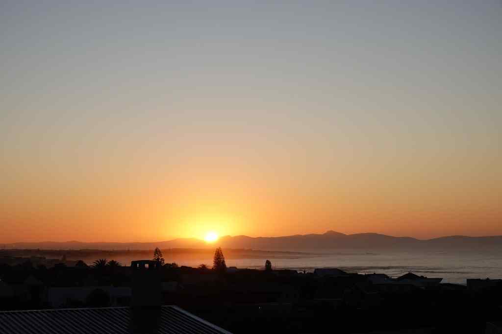
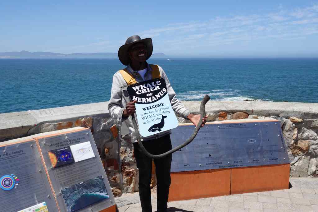
The next day I woke early and enjoyed watching the sunrise over the mountains behind the town of Hermanus. Then I got ready, had breakfast on my terrace and set off to visit the town, which is famous for being the best place in the world to see whales from the shore. The most frequently seen whale is the Southern Right Whale, which comes to the area to mate from August to November. This species of whale was given its name by whalers, which considered it the “right” whale to hunt, since it spends long periods of time on the surface of the water. At the town’s sea front, I met this cheerful fellow – Hermanus’ “whale crier”. He scans the sea for whales and blows his horn if he sees anyway.
Hermanus Whale Crier

I was quite pleased that I managed to see a whale before he did. It was clearly visible through my binoculars, although it still looks a bit small in photos……

Honestly, it looked bigger in real life…

Apparently whales sometimes come to within 5 metres of the shore in Hermanus, but I was not so lucky. I settled down in a sea front café, scanning the sea for more whales whilst enjoying a cappuccino. In the distance at the other end of the bay, another whale duly appeared. This one appeared to be in playful mood, and breached right out of the water, making a big splash on its return. Again, it was frustratingly hard to capture the whale’s play on film.

The best shot I could manage of the second whale at play

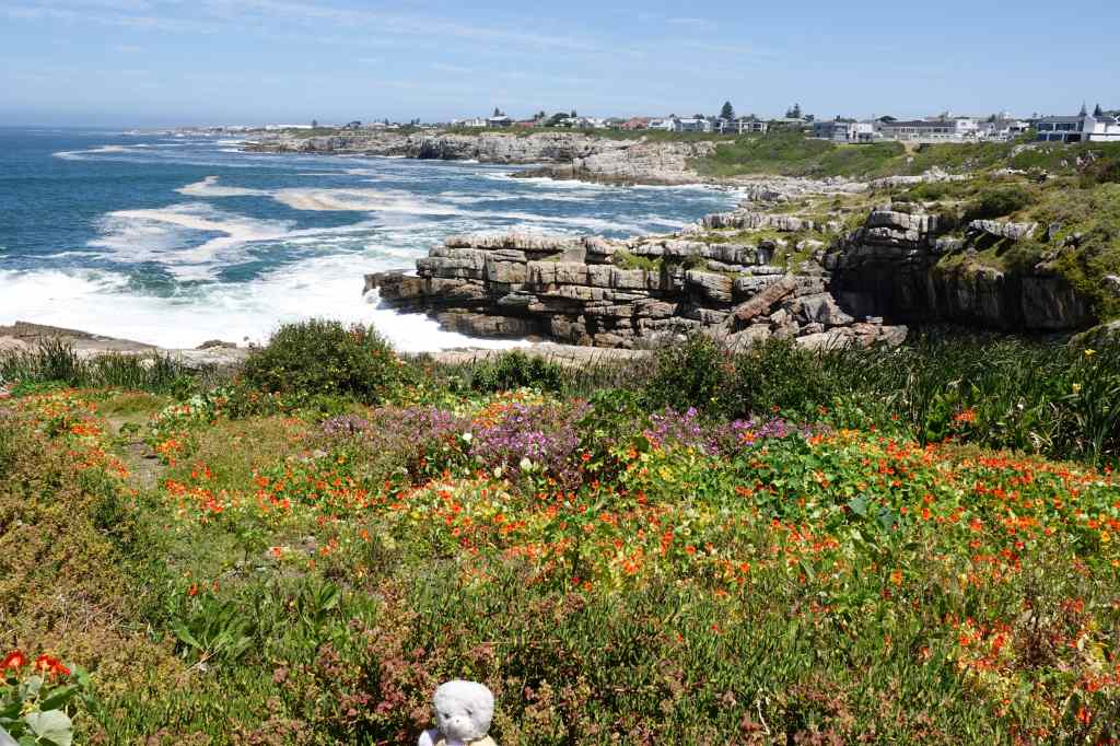
The whale crier had told me that the best time for sightings was the morning or evening, so as noon approached I decided to go to a walk along Hermanus’ popular cliff path. It was a very pretty route, with some artwork….

Hermanus cliff path
On the cliff path

…. Great views of the bay……..

On Hermanus’ Cliff Path

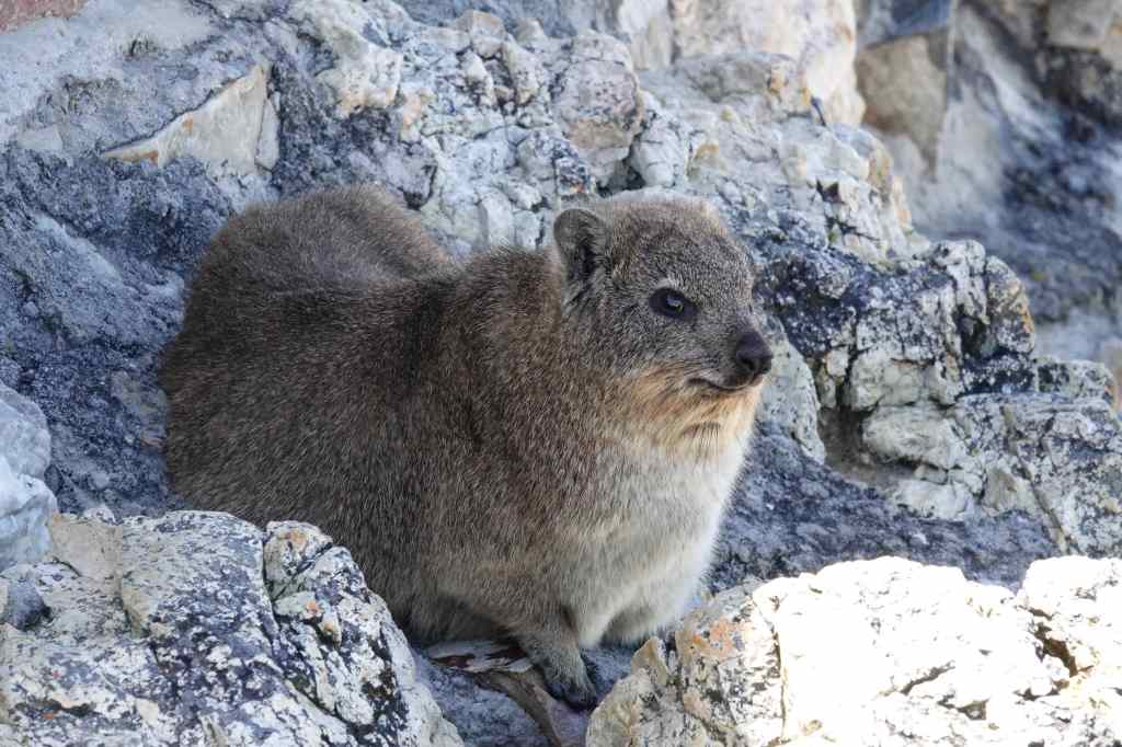
……and some unusual and cute little creatures formally known as rock hyrax but informally called dassies. They look like rabbits, but are in fact the closest living relative of…the elephant.
the Rock Hyrax or Dassie
The rock hyrax – the elephant’s relative

One of the dassies came to warn me about the danger from eagles. I thanked him, looked up anxiously, and hurried on.
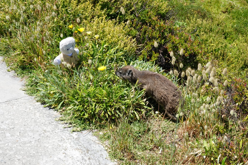
dassie meets teddy
A friendly dassie

I’d spent a very pleasant half day in Hermanus, and could have spent a lot longer in the area. But the deadline for returning my car was looming, so I set off for the last leg of my holiday – Cape Town. As I approached the city, the traffic became quite dense, and at first, I found the place quite intimidating. Big SUVs crowded the road, and beggars gathered at road junctions to ask for money. I was relieved when I checked into my flat and could head out to a nearby bar to enjoy a beer. I asked the waitress if it was safe to walk around at night – and the answer was a firm “NO”.  So I bought some food to cook at home and headed back before sunset to enjoy my flat’s direct view of the iconic Table Mountain, which sits right in the middle of the city.
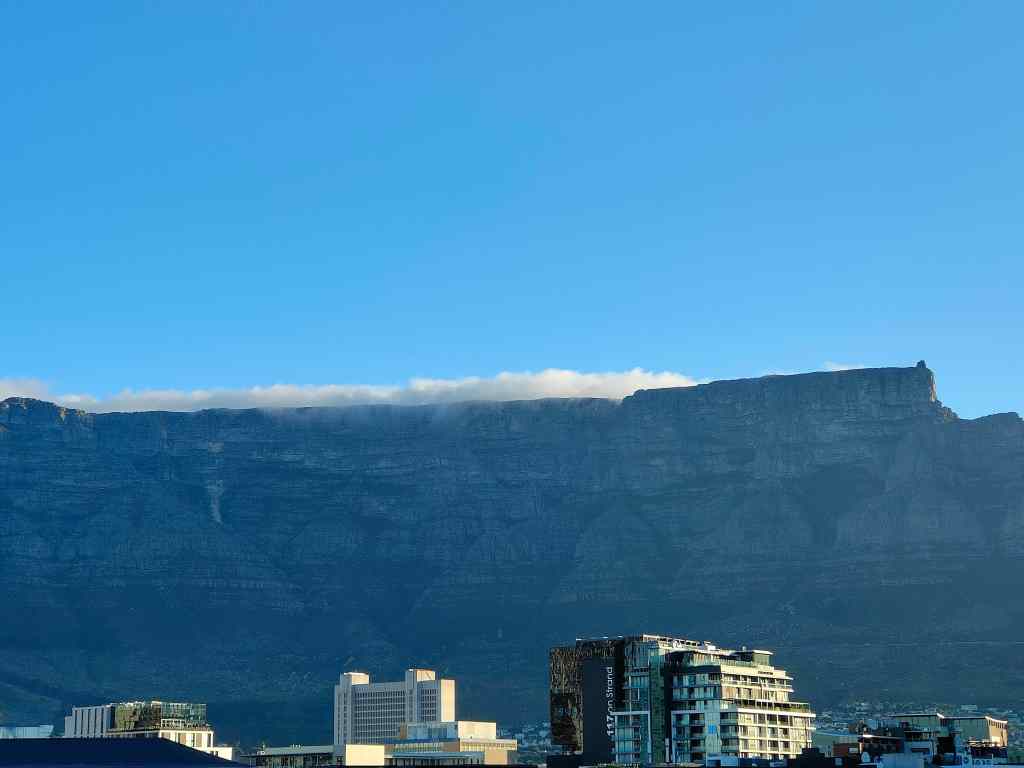
Table Mountain, Capetown
Table Mountain in late afternoon, as seen from my flat

Cape Town had intrigued me. Visually, it was a stunning city. But it also had an edge, and clearly had problems with crime and poverty. I was looking forward to exploring it over the next few days.

Next Post – Cape Town – Kirstenbosch Gardens and Table Mountain

Previous Post – Oudtshoorn’s ostrich farms and on to Hermanus
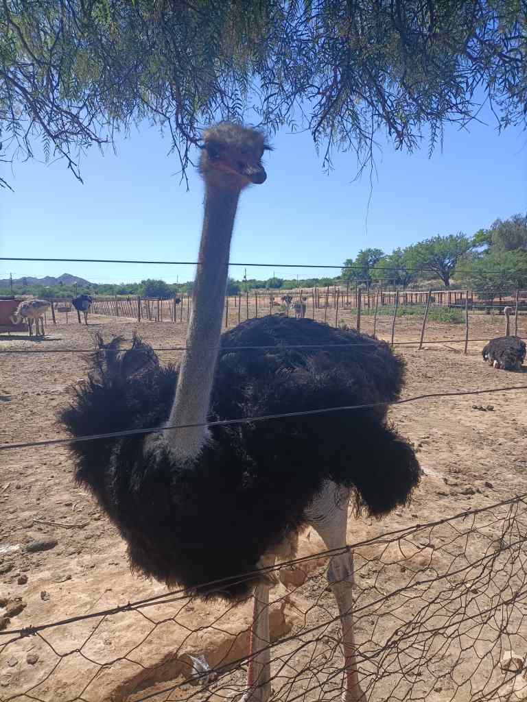
Oudtshoorn’s ostrich farms and on to Hermanus

Highgate Ostrich Frame Oudtshoorn
At Highgate Ostrich Farm, Oudtshoorn

The next morning I visited Highgate Ostrich Farm, which claims to be Oudtshoorn’s oldest. The farm buildings were set around a pleasant garden with cacti.

Garden of Highgate Ostrich Farm, Oudtshoorn

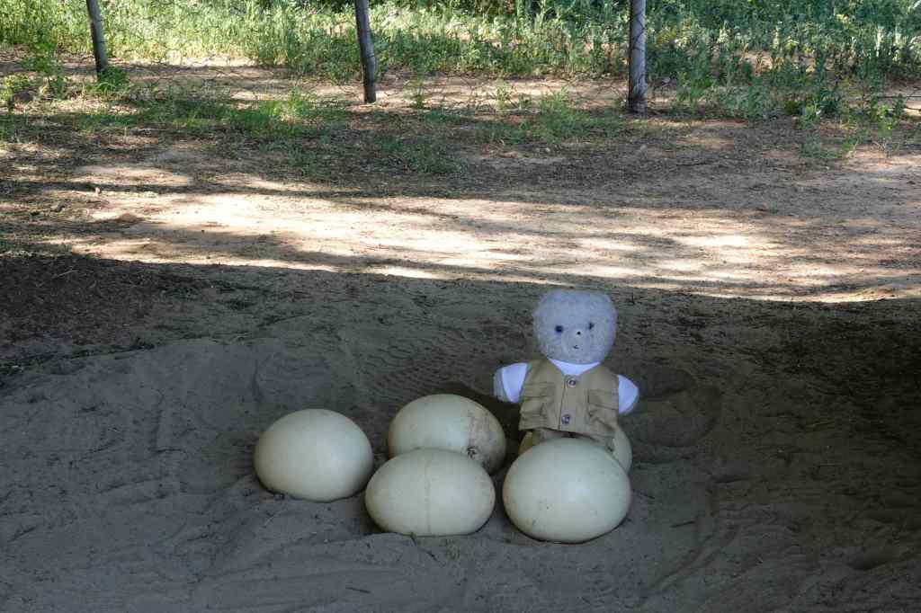
Highgate is a “show farm” which raises chicks for sale to other farms, but does not slaughter its ostriches. So logically enough the first stop on my tour was to see some eggs – these are surprisingly tough, and can withstand a weight of 120kg if it is applied gently. They are though vulnerable to sudden shocks, and are a favourite food for scavenging baboons.

Nearly as big as me!

The farm workers remove the eggs from the ostriches’ enclosures. To do this, they arm themselves with a branch from a thorn tree, to keep the birds at bay.  Ostriches can be dangerous, being able to deliver a lethal kick, where their sharp toes rip open the stomach of the victim.

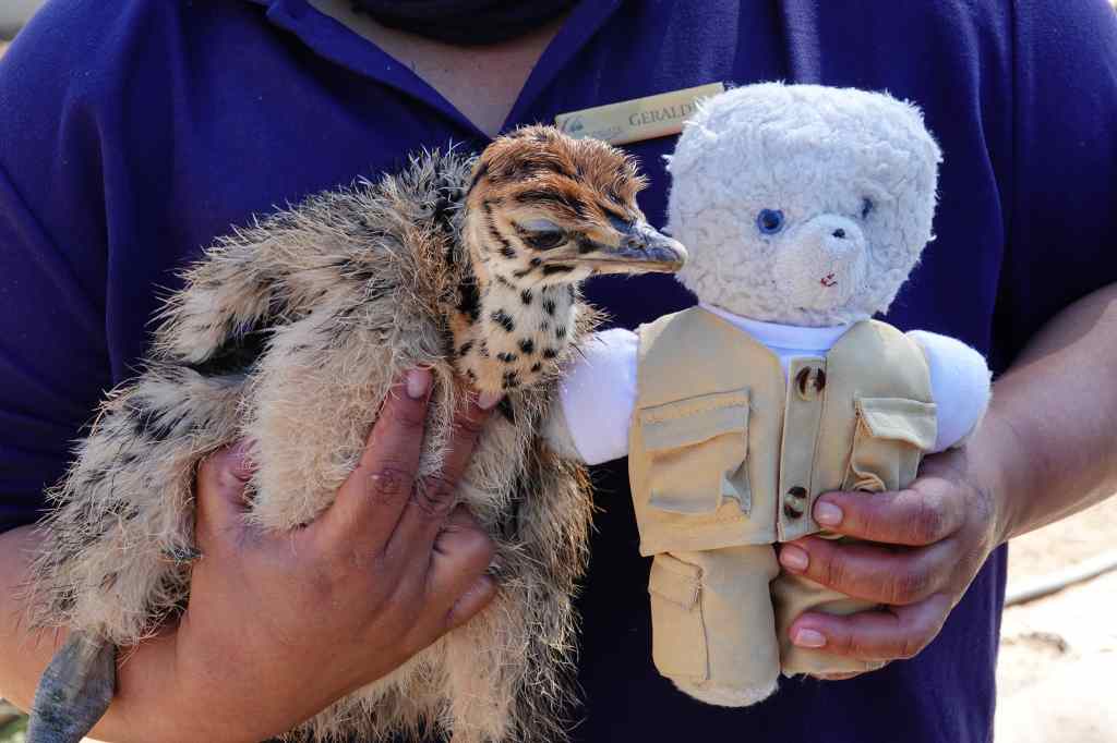
The eggs are taken away to be incubated and the chicks are reared until they are old enough to be sold to neighbouring farms. The chicks are rather cuter than the adult birds.

My knowledgeable guide introduces me to a new friend

In the early 1900s, ostrich feathers were a very expensive fashion accessory that were hugely popular in Europe. On a per weight basis, feathers were more valuable than gold, and a booming ostrich industry grew up around Oudtshoorn, which became known as the ostrich capital of the world. However, with the outbreak of the first world war, extravagant displays of wealth went out of fashion, and the value of feathers plummeted. Today, ostrich farming continues but mostly for the bird’s meat, which tastes like a leaner version of beef. Its skin is used as leather and its bones as fertiliser – nothing is wasted.

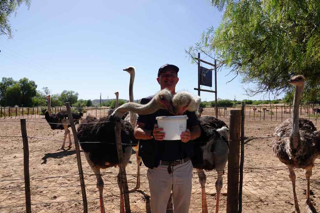
The next part of our tour involved feeding some adult ostriches. Our guide tricked one of our group into turning their back on the hungry birds whilst holding a bucket of grain……..

No escape until they have finished the bucket

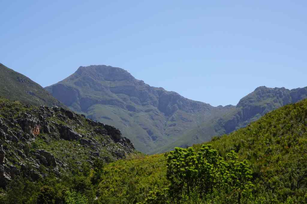
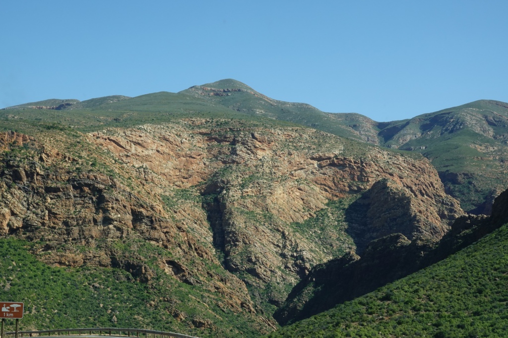
After the ostrich farm, I had to head back west again. If I had had more time I could have continued along South Africa’s famous Garden Route, but it was not to be (this time). At first, my route took me back along the scenic Route 62, which I could now enjoy in the morning light. After an hour, I took a side road leading through an impossibly scenic mountain pass…….

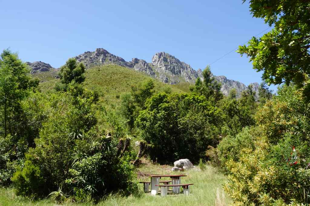
Perhaps the most scenic roadside rest stop I have ever seen
road from Oudtshoorn to Hermanus
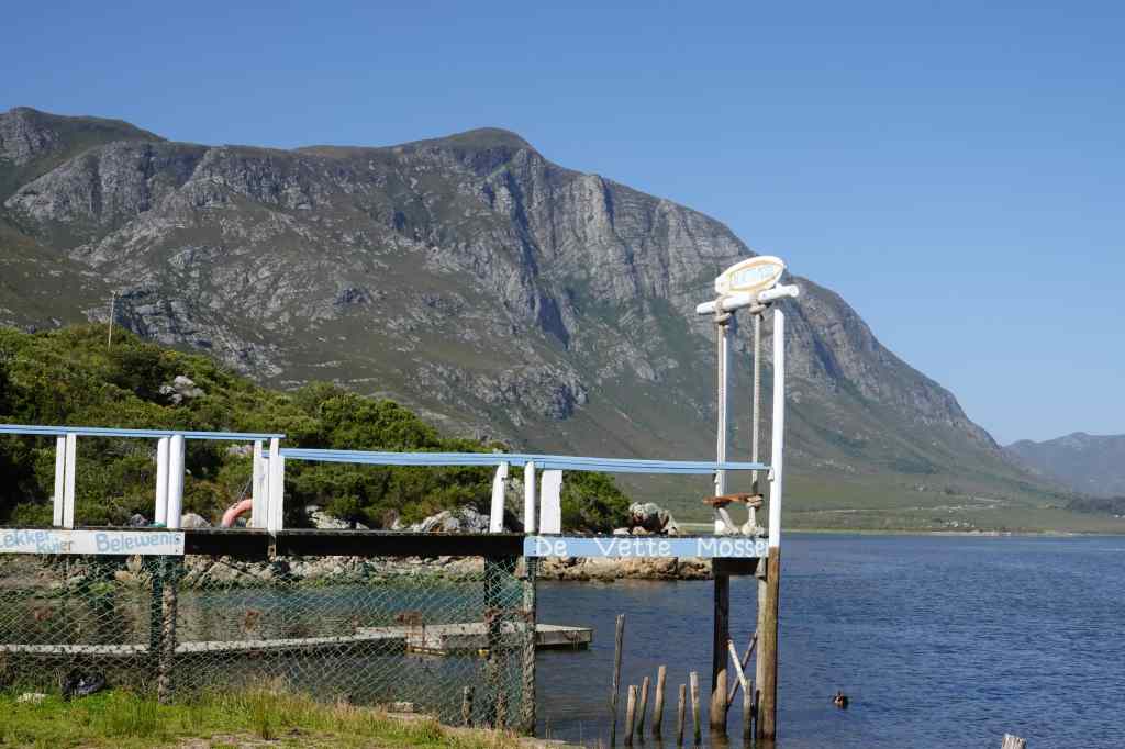
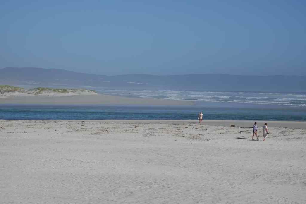
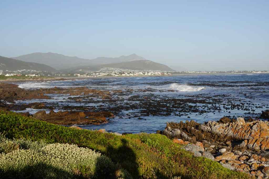
The road eventually joined the main N2 road that runs almost all the way along South Africa’s coast (and is Africa’s longest numbered road). The scenery changed again, becoming flat and greener, with lots of farms. I left the N2 to head south, eventually arriving at the sea near the town of Hermanus. The scenery was again stunning, and quite different to what had gone before. Tall, steep, green mountains plunged almost directly onto to a narrow strip of land with my road and endless beaches of white sand.

Scenery east of Hermanus

My accommodation was a short way west of Hermanus in an affluent residential area. I couldn’t quite believe how good a place I had booked for only 50€ – it was a large first floor flat with a 180-degree balcony giving views over both the sea and the mountains.

After dropping my luggage, I took a short walk. The area was quiet, with lots of nice houses……all prominently displaying signs that they were protected by security services. I did not meet any other pedestrians until I reached the sea, where a few walkers and joggers cross my path.

Hermanus, sea and sunset
Look over the sea to Hermanus at sunset
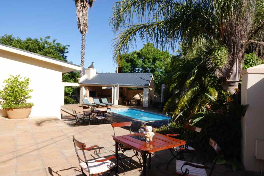
I enjoyed the sound of the waves and the changing colours of the landscape as the sun set, before returning to have pizza and wine on my balcony. I am getting to like South Africa…..

Previous Post: Route 62 – a classic South African road trip

Next Post: Hermanus
Route 62 – a classic South African road trip

From Franschhoek I drove east, towards the small town of Oudtshoorn, about 400km away. My route took me first over the Franschhoek pass, which offered the first of many spectacular views.

After some more driving, I reached Route 62, famous as one of South Africa’s most scenic drives. It went through a mountain pass up to plateau known as the Klein Karoo. Normally this area is semi-desert, but this year the South African winter has seen unusually heavy rain, and now the road was flanked by green plants and flowers. It was a pleasant change after the relentlessly dry landscapes of Namibia.

Flowers on the approach to Route 62
The first mountain pass on Route 62

The road was good, traffic was light, and my progress was fast. To make driving even more pleasant, Route 62 heads through some nice towns like Montagu and Ladismith, which had excellent cafés.

The Barn on 62 restaurant and café, an excellent coffee stop
Street scene in Ladismith

After a final mountain pass……

The final pass on the way to Oudtshoorn

…….I reached Oudtshoorn in the late afternoon. The town is known as the ostrich capital of the world, and was the centre of a brief boom in the early 1900s, when ostrich feathers were fashionable in Europe and extremely expensive. Now Oudtshoorn is a sleepy, pleasant provincial town and still a centre for ostrich farming. More about this in tomorrow’s post!

Women selling ostrich feathers at the entrance to Oudtshoorn

I relaxed in my hotel and had dinner in a local restaurant.  Despite once again spending most of my time in the car, I had enjoyed the day. The scenery was spectacular and very varied, the driving fast and easy, and the small towns along the way had been welcoming and offered good coffee. South Africa lends itself to road trips.

Next Post: Oudtshoorn, the ostrich capital of the world

Previous Post: Franschhoek

Purple Haze – Franschhoek wine tasting!

Franschhoek
On the way to Franschhoek – typical Wine Country in South Africa

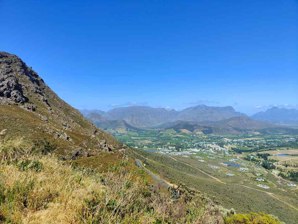
As with my last visit to Cape Town airport, the experience was very positive. I breezed through immigration, picked up my bags and collected my hire car. I was soon driving east from the city. First the road passed some sprawling shanty towns, with houses made from corrugated iron. But soon these gave way to some impressive mountain scenery…..and eventually vineyards.

overlooking Franschhoek
Typical Wine Country scenery near Franschhoek

My destination was Franschhoek, a small town in the heart of South Africa’s wine country. The town is one of the country’s oldest, and was founded in 1688 by Huguenots refugees who fled France when the protestant religion was banned there. The new settlers brought vines with them, and started to make wine. Many of today’s vineyards have French names, though the town’s own name is Afrikaans – meaning “French corner”.

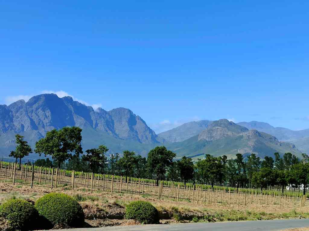
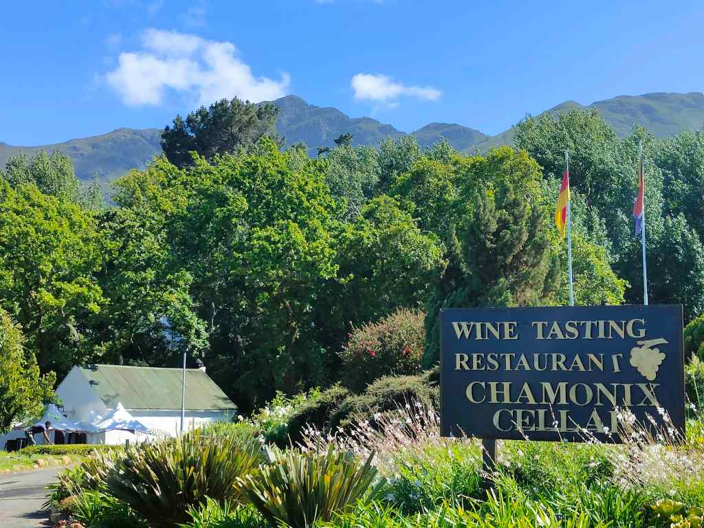
I found my accommodation without difficulty. The owner recommended me a few wineries to visit out of the dozens located around the area, and the next day I set off to explore them. First was a trip to Chamonix vineyard to buy some white wine. Like many of the other places I was to visit today, the setting was amazing, with the vines stretching away to the base of imposing mountains.

Chamonix Estate at Franschhoek
Stop number 1 – the Chamonix estate, Franschhoek

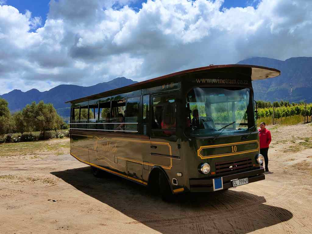
After that, I took the very touristy option of trying one of Franschhoek’s famous wine tasting tours. Many of the local vineyards have got together to offer visitors many different wine routes, with transportation by tram or by bus. The system is a little complicated, and I had to read the instructions a few times before understanding. The most popular route is the Orange one, where buses leave every thirty minutes, and where it is theoretically possible to do tastings in twelve vineyards.

Franschhoek's wine bus
The wine bus

I chose the more sedate Purple Route*, whose buses depart every hour and where you can visit a maximum of six wineries if you start early (I did not) and move on every hour (again, I did not). First on the route was “La Bri”, which offered a rather nice wine and chocolate tasting.  

Sommelier at La Bri estate Franschhoek
Wine tasting with a knowledgeable sommelier at La Bri, Franschhoek

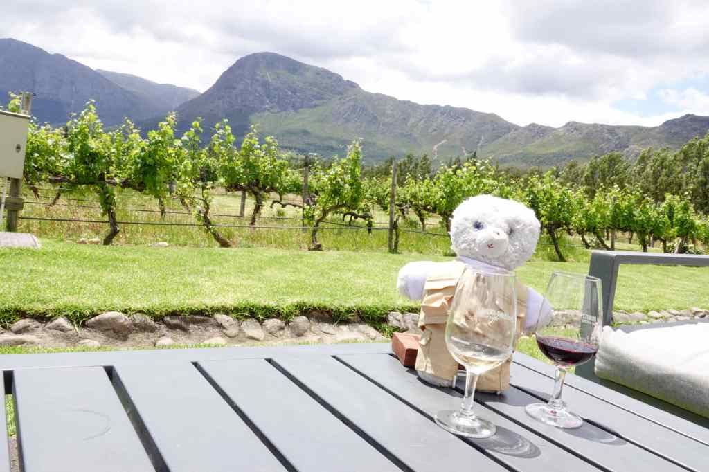
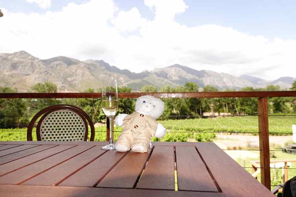
After an hour, the bus arrived to take me to Holden Manz – where I tried a range of white and red wines on a sunny terrace surrounded by mountains. I loved the setting, and since my tasting included six wines, I ended up staying there for two hours. I ordered some lunch, in an attempt to soak up some of the alcohol.

Holden-Manz estate Franschhoek
Holden Manz and more wine tasting…

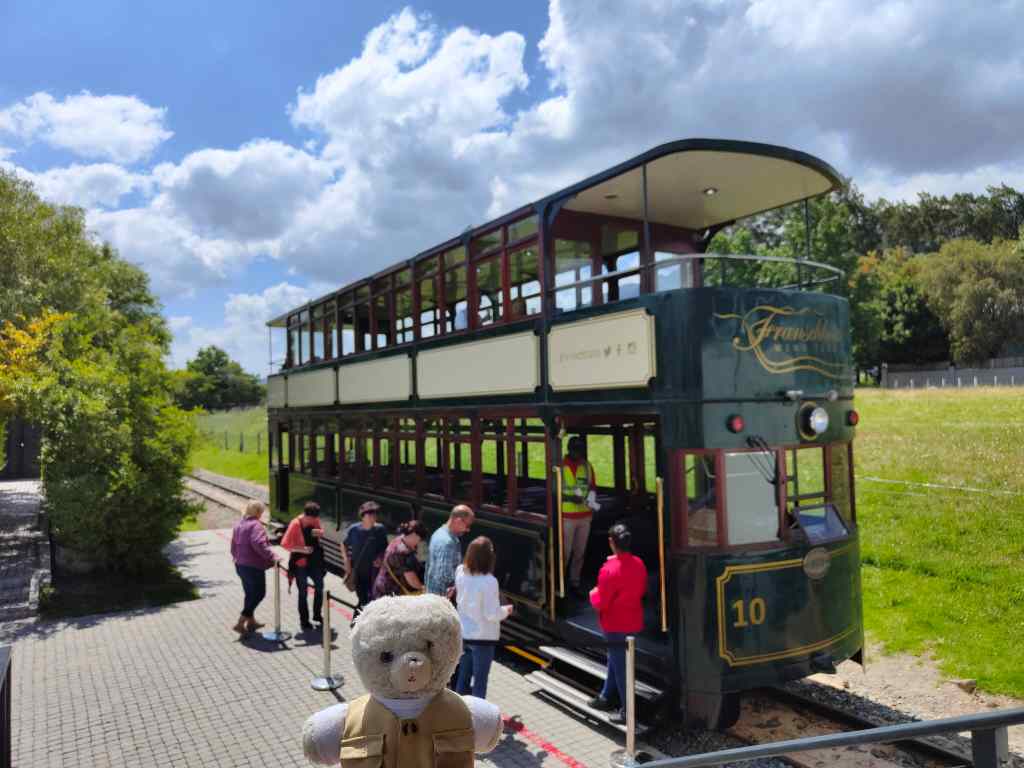
From there, I changed my mode of transportation and took the famous Franschhoek wine tram to Rickety Bridge vineyard, where I tasted some sparkling wines. I was beginning to feel like a rickety bridge myself!

Franschhoek wine train
The wine tram at Franschhoek
from the wine tram
View from the Franschhoek wine tram
My wine tour nears its end – strange how my photos seem to be getting blurry…

I had time to visit one more vineyard for a tasting but told myself that this would be a little too much, especially since I had booked an excellent restaurant for dinner. So instead, I headed home for a bear nap to sleep off some of the alcohol. On the way I walked through the town, which had very pretty architecture and where every second building seemed to be a restaurant, coffee house or art gallery. I mused that the galleries must do good business from those who slightly overindulge in their wine tastings.

I spent a happy couple of hours napping by the pool of my flat…

my Airbnb in Franschhoek
My accommodation in Franschhoek

……before heading off for dinner at “le Coin Francais”, one of South Africa’s best restaurants, for a gourmet meal………and another bottle of wine of course. My host had explained, with some pride, that it was possible to walk safely at night in Franschhoek – which was just as well after a day in which I had probably drunk more wine in 12 hours than ever before in my life.

Dinner Le Coin Francais Franschhoek
Dinner at “Le Coin Francais”, Franschhoek

*Actually my tram route was the Blue Route. I think. My memory is strangely fuzzy. Purple Haze made a good title for the post though.

Next Post: Route 62 road trip

Previous Post: Namibia Highlights

Farewell and Namibia Highlights

My previous post covered the last full day of sightseeing I had in Namibia. The next day I woke early to see the rising sun casting long shadows over my lodge.

Next, I revisited Fish River Canyon briefly in the morning….

Early morning at Fish River Canyon

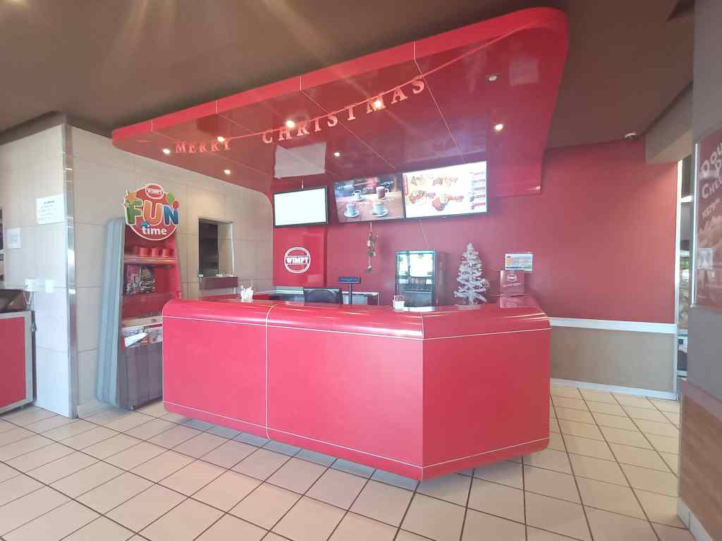
…before making a rather boring six hour drive north,  to a lodge near a town called Mariental. This was not a destination in itself, but a convenient place to spend the night on the long, long way back to Windhoek. Now I know why Fish River Canyon is so little visited – it is so far away from anywhere else. Namibia’s B1 is surfaced, flat and fast, but must be one of the most boring roads on the planet. The “highlight” of these six hours was finding a Wimpy restaurant at a service station – I though they had died out, but apparently they still thrive in Africa. The décor was wonderfully sixties kitsch.

I thought it was extinct…..Wimpy lives on in Africa

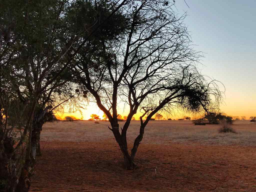
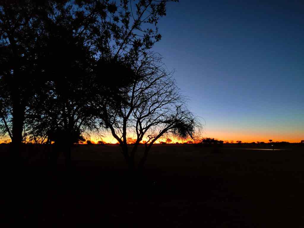
I finally arrived at around five, having driven all day (or so it seemed). I had originally intended to go on the lodge’s “sundowner” game drive, but since I was tired, I decided instead to spend my last night in Namibia sitting  on the big swinging chair on my balcony, and watch the sunset with a good glass of wine.

Watching the sunset over the Kalahari desert

The next morning, I got up early and continued the road to the north – another 3 ½ hours – to Windhoek airport, to catch my early afternoon flight to Cape Town, where my adventure will continue. On returning my hire car, I found out that in 20 days I had driven over 5,000km – at an average speed often limited to 70km/h by Namibia’s gravel roads. Namibia has many world class attractions, but getting to them requires a big investment in time.

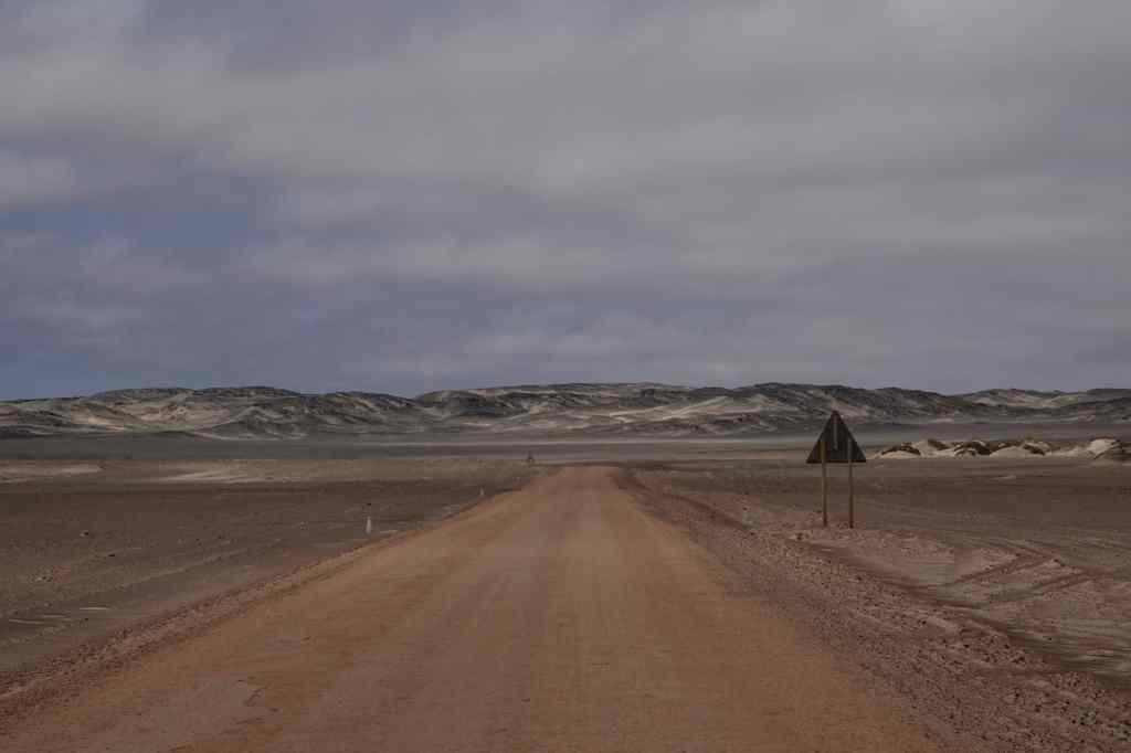
Be prepared for lots of this driving around Namibia…..

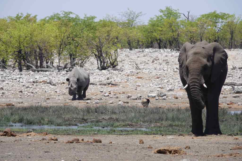
So that was the end of my Namibia trip – now I am off to South Africa for more adventures. It’s time to share a few photos of the highlights. First, there was the wonderful park of Etosha and its wildlife…..

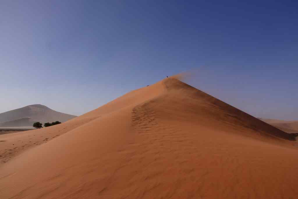
Namibia’s next world class attraction are the dunes of Sossusvlei

Sossusvlei!

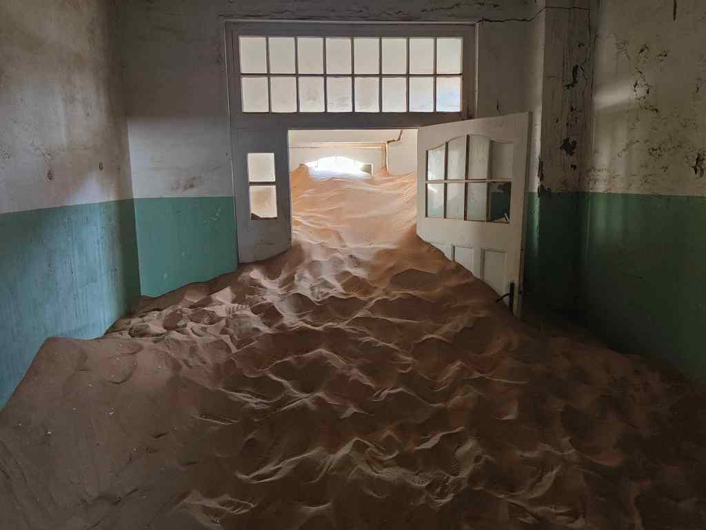
I will also always remember Kolmanskop, as a symbol of the power of nature over man……

The irresistible force of nature at Kolmanskop

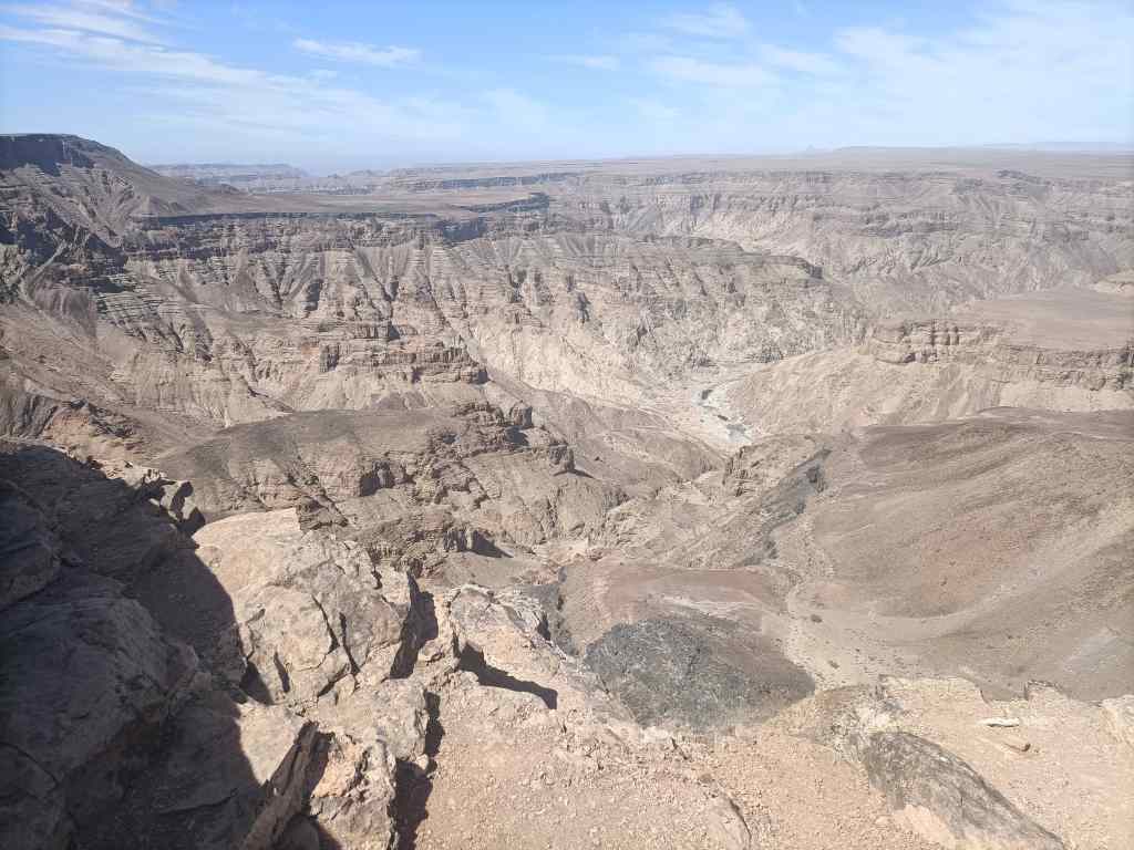
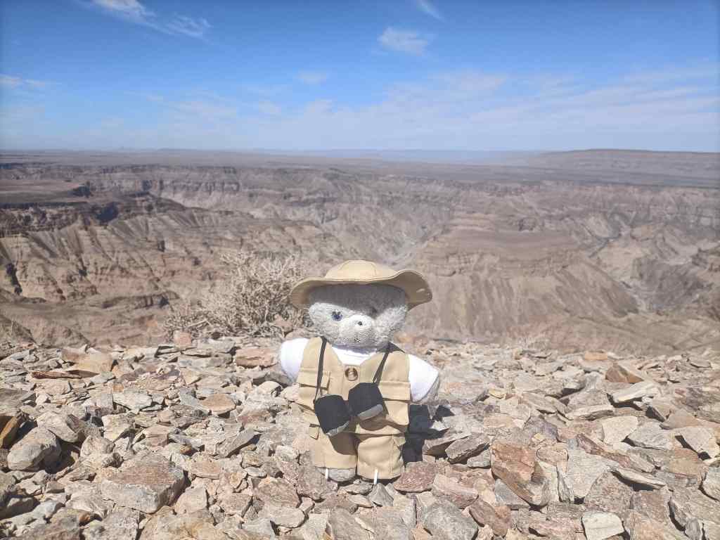
….and my solo drive down to Eagle’s Rock in Fish River Canyon. It is not often you get a view this like all to yourself.

Eagle’s Rock, Fish River Canyon

I was keen to see if South Africa can match Namibia as a travel experience. Keep reading my blog to find out!

Next Post: South Africa, Franschhoek Wine Country

Previous Post: Fish River Canyon

Fish River Canyon – the world’s least visited natural wonder?

Today was day sixteen of my tour around Namibia and it saw me return to traditional sight-seeing. My destination was Fish River Canyon, the world’s second largest canyon (after the Grand Canyon in the US) and one of Africa’s most impressive – and least visited – natural wonders. It was located a short drive from my lodge. First, I drove to the main viewing point, where there was an information display and a few other tourists taking in the awesome view.

the main viewpoint at Fish River Canyon
The main viewpoint at Fish River Canyon

Fish River Canyon is 160km long, up to 27km wide and 550 metres deep. It was formed initially by a rift between the earth’s plates and then was deepened by the action of glaciers during the Ice Age 300 million years ago. For the last 60 million years the canyon has been deepened further by the flow of the Fish River – although in the dry season, the river is reduced to series of ponds of stagnant water.

I enjoyed the main viewing area for a while and then set off to the “Hiker’s Viewpoint”, for an alternative perspective. This was the starting point for a tough, 5-day, 80km hike covering the deepest and most impressive parts of the canyon. A steep path led down, marking the start of the trek. Once in the canyon, walkers have only two further emergency exits up steep cliffs before the end of the hike 80km away. Prospective hikers must register months in advance, be prepared to be totally self sufficient for 5 days, and produce a medical certificate attesting to their fitness before setting off.

hiker's viewpoint
The “Hiker’s Viewpoint” and main path down into the Fish River Canyon

From the Hiker’s Viewpoint I retraced my steps and then found a track heading south along the canyon edge, which I had missed earlier. The track was totally unmarked, and very few other visitors seem to have found it; without my guidebook, I would never have known it was there. After a few km it stopped at another viewpoint, where I had the views completely to myself.

Sulfur springs viewpoint
Sulfur Springs Viewpoint
More Fish River Canyon views

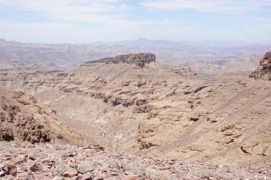
From there, another very rough track, suitable only for 4×4 vehicles, led further south. After another thirty minutes it led to the final viewpoint – Eagle Rock – which was perhaps the most impressive of all. I sat there for around thirty minutes, making sure I was fully rewarded for the effort of getting there.

Eagle Rock Viewpoint

On the drive back I passed one other car struggling to reach Eagle Rock – maybe the place gets ten visitors per day, for one of the world’s best views.

Back on the main road I headed south to Ai-Ais, a name that means “burning water” in the local language, where there are some hot springs, a government-run resort, and the place where the 80km canyon hike finally ends. I walked a short distance down the hiking route to see what it was like. To me, it was a rather unexciting dry sandy riverbed, and must have been an anticlimactic way to end an epic hike through the world’s second biggest canyon.

Must be an uninspiring end to an 80km trek…

I ended my visit at a big swimming pool filled with warm water from the hot springs. A group of schoolchildren kept me amused with their games.

Suddenly, I realised that apart from the people serving me in restaurants and hotels, I had hardly met any local black people. The owners of hotels and businesses had all been white, and my fellow travellers were all white. The legacy of Namibia’s colonial times lives on, even if today’s government is trying to improve the lot of poor black majority. I reflected on this thought whilst enjoying yet another glorious African sunset back at my lodge.

Canyon Lodge at dusk

Previous Post: Off the beaten track in Namibia – Orange River and South African border

Next Post: Farewell to Namibia and highlights

Off the beaten track – along the Orange River and Namibia/South African border

Today I had one of these long drives that had become typical of my holiday in Namibia – from Luderitz in the southwest corner to Fish River Canyon, in the south. There was a direct – and rather dull looking – main road that could take me most of the way there. But since I had already travelled part of this, I decided on a detour around the southernmost part of the country, the border with South Africa.

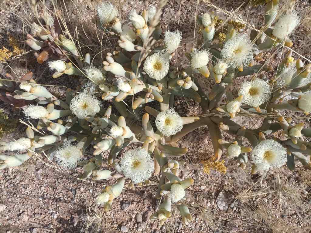
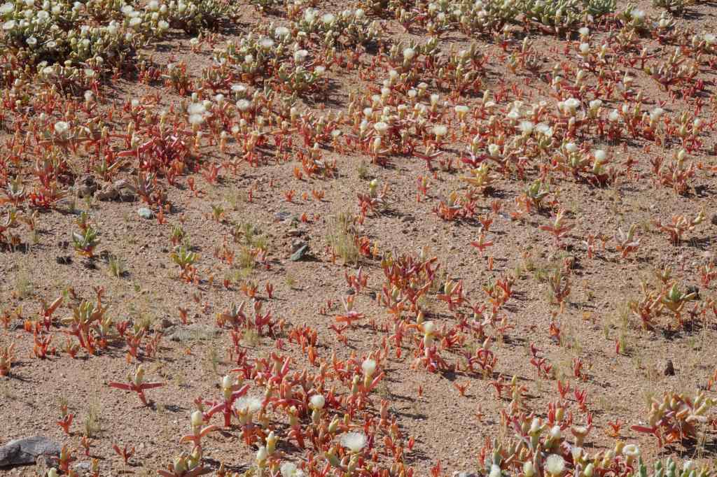
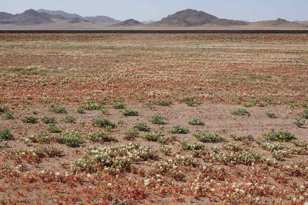
Shortly after Luderitz, I had a pleasant surprise – on either side of the road was a carpet of flowers. They are only visible in the morning, and close during the afternoon sun, so I had missed them on the way here. They stretched away in all directions as far as the eye could see.

flowers on the road near Luderitz
White flowers….
flowers on the road near Luderitz
Red flowers….
more flowers on the road near Luderitz
As far as you can see

I stopped for a very good coffee at a town called Aus and decided to fill up on fuel. It was a lucky decision, since the station at the next town, Rosh Pinah – some 170km away – had run out of diesel. Rosh Pinah is a major centre for Namibia’s mining industry, and well off the main tourists routes. It had a similar feel to Luderitz, with many unoccupied people lounging around on the streets and looking at me with curiosity.

Near Rosh Pinah – typically dry Namibian scenery

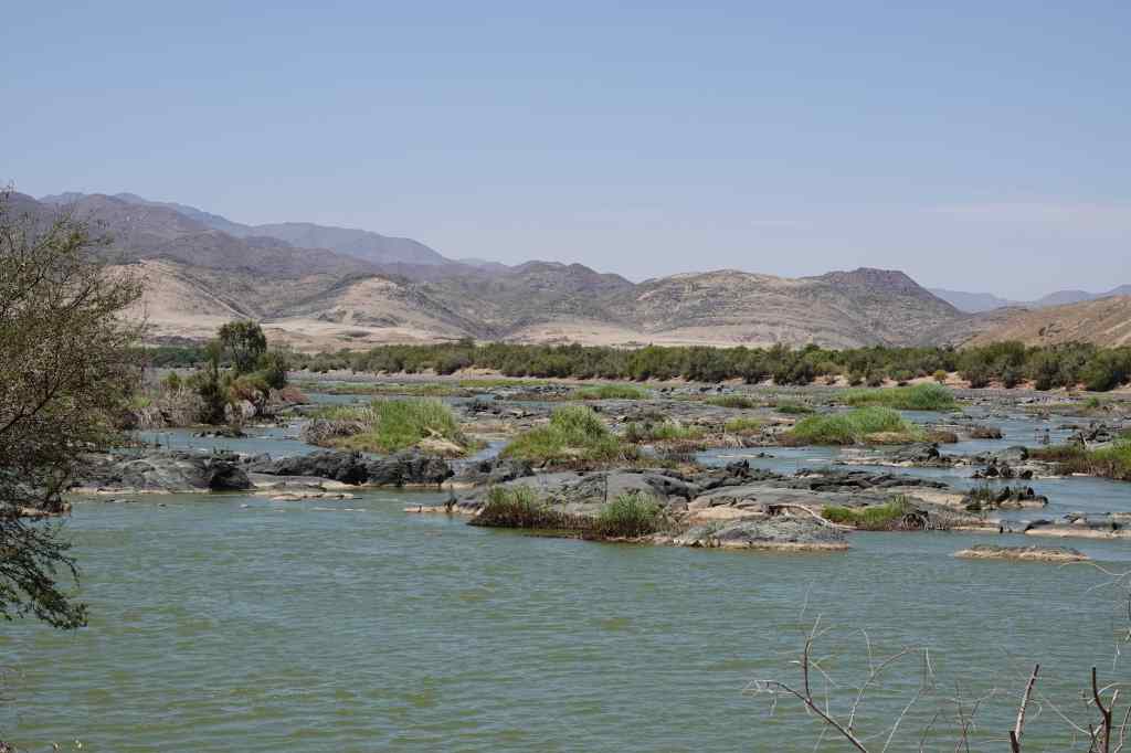
From Rosh Pinah the road headed east, following the Orange River, which marks the border with South Africa. It was dry season and the river was low, but it was still the first running water I had seen during all my time in Namibia. The road was empty, and passed some nice scenery (green for a change!) and a few shuttered camps offering kayaking excursions.

The Orange River, border Nambia and South Africa
50km further on – the Orange River, the first running water I had seen for two weeks!

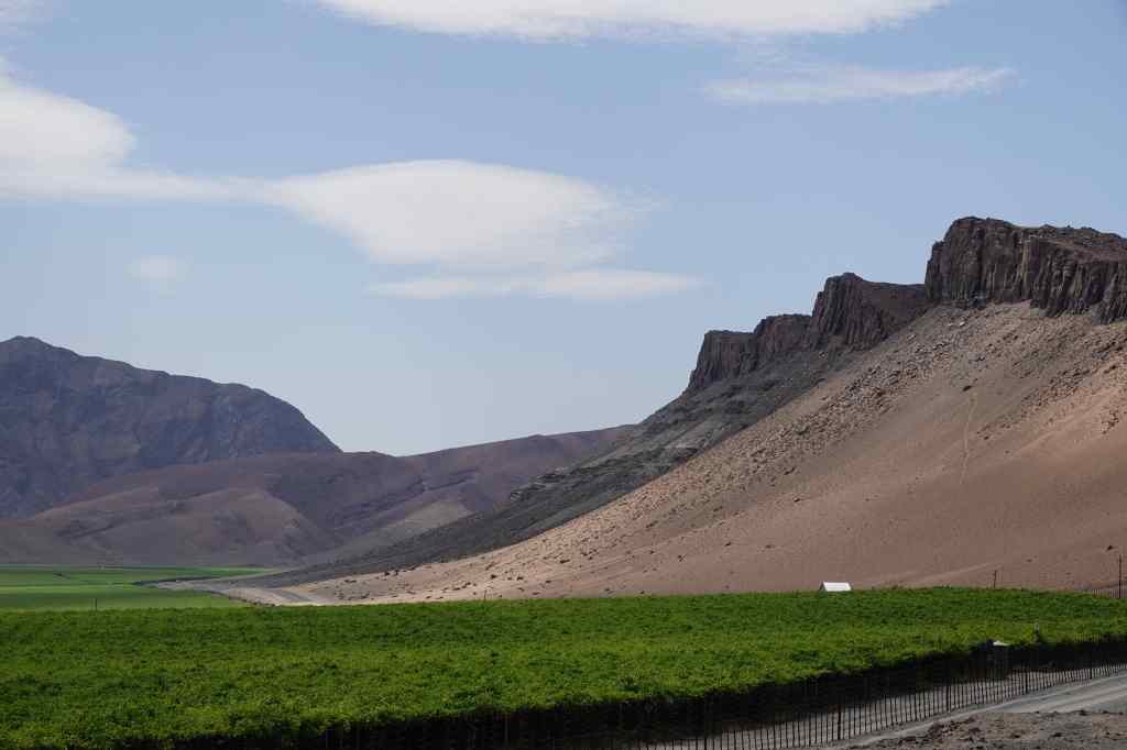
After enjoying the scenery along the river, I arrived at a huge vineyard just outside the town of Aussenkehr.

Vineyard on the Orange River
A huge vineyard on the Orange River

I had been on the road for six hours, and was tired. I ventured into the town in search of coffee but could only find a big branch of Spar where I bought a Red Bull. Most of Aussenkehr was a shanty town consisting of small shacks made of corrugated iron, and again groups of people hung around the shopping area and stared at me.  At this place far from the tourist route, I had discovered the reality of Namibia for the majority of its people, and it’s a good time to talk a bit about the country and its history.

Aussenkehr
Aussenkehr’s shanty town

Before the Europeans arrived, Namibia was a typical African country settled by many different tribes – such as the Herero and the Nama – each with their own language and culture. They scraped an existence by farming or hunting in the country’s harsh, dry environment.

The country was largely ignored by colonial powers until the late 19th century – from the sea, the Namibian deserts looked inhospitable and unpromising territories. Then in 1883, the German trader Adolf Luderitz bought an area in the southwest of the country (around the city that bears his name today) from a Nama chief. He then persuaded chancellor von Bismark to declare Namibia a German territory. Colonial rule of Namibia was particularly brutal, even by the standards of the time, and culminated in what was possibly the world’s first attempted genocide (of the Nama and Herero peoples).

During the First World War, South Africa (allied to Britain) conquered the German colony of Namibia and proceeded to “administer” it – in practice, exploiting the country’s resources and its people. Eventually international pressure, UN resolutions and an armed struggle persuaded South Africa to grant Namibia independence – but only in 1990. Since then, the young country has done better than many other African countries, remaining a stable democracy and slowly addressing its many problems.

One of the most pressing issues facing Namibia is unemployment, which is around 20%. This is why there were so many people hanging around Namibian towns like Luderitz with nothing to do. Another problem is huge inequality and widespread poverty – many people are very poor, and live in shanty towns like the one at Aussenkehr. On the usual tourist circuit, visitors are insulated from the reality of life in Namibia for many of its people. You go from one nice lodge to the next, eat good food and drink good wine.

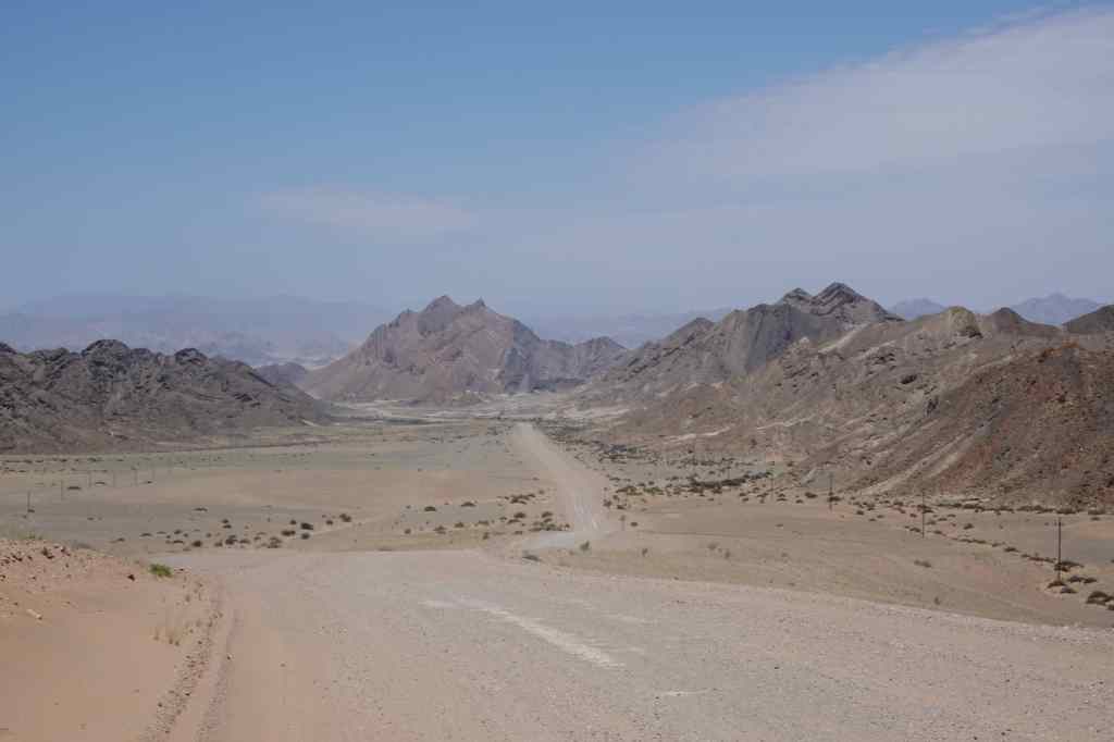
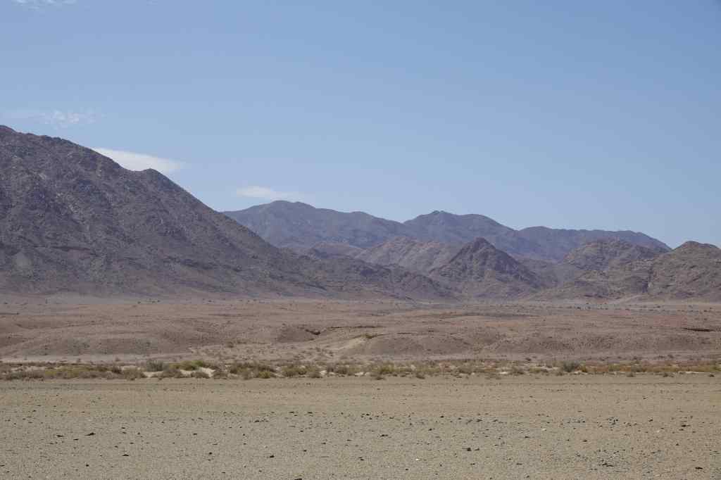
From Aussenkehr the road headed north across an especially featureless landscape, devoid even of plants.

towards the Fish River Canyon
The lunar landscape approaching Fish River Canyon

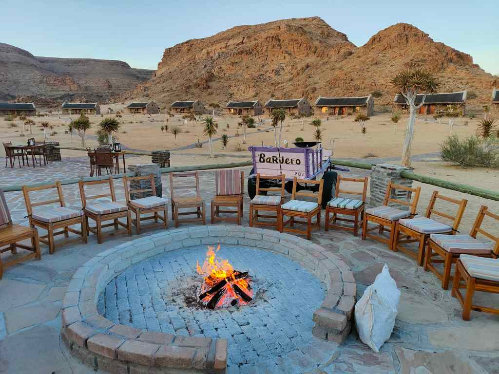
The landscape had a certain barren beauty, and further north, hinted at the spectacular Fish River Canyon that lay just out of sight behind the mountains – which I would see the next day. But I was tired, and after eight hours on the road, I was relieved to arrive at my destination – yet another stylish tourist lodge. I had found my excursion around the far south of Namibia and my brush with real life interesting, but was glad to be back on the comfortable tourist circuit.

At the Canyon Lodge, Fish River
at the Canyon Lodge Fish River
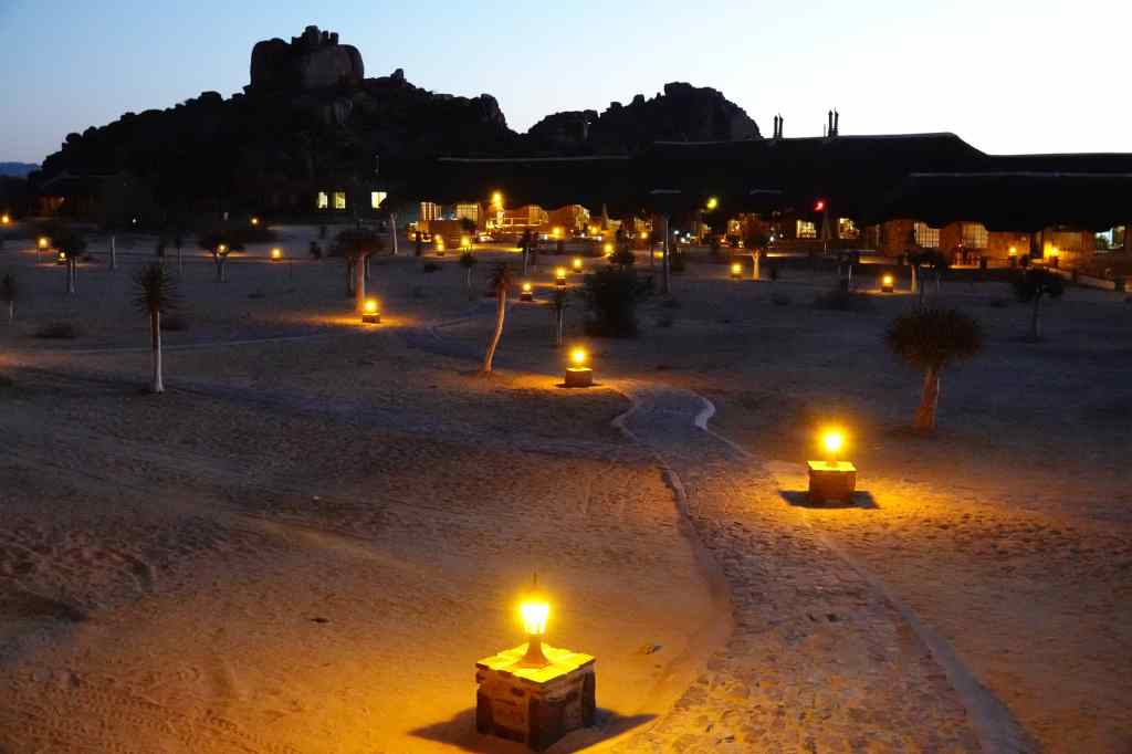
Canyon Lodge

Next Post: Fish River Canyon

Previous Post: Luderitz, Kolmanskop and Halifax Island

Luderitz – the Kolmanskop Ghost Town and Halifax Island’s Penguins

Kolmanskop
House in Kolmanskop

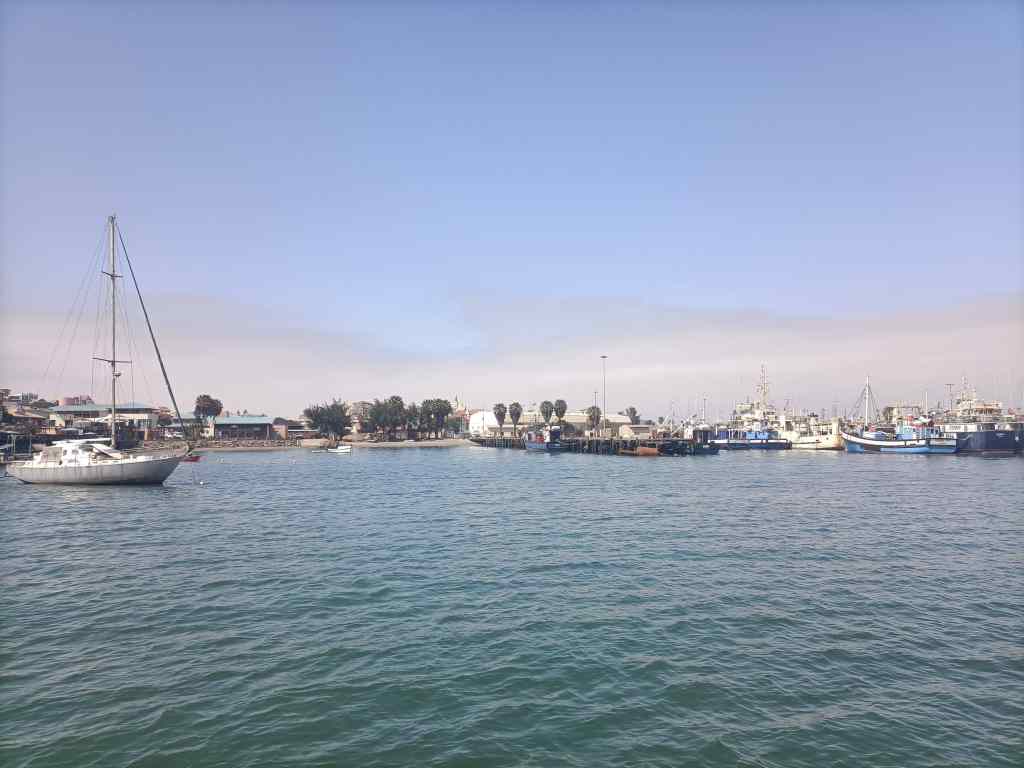
Today I had two very different experiences – one wet and one dry. I woke early to make the 8am departure of a catamaran cruise to Halifax Island, home to a colony of African penguins. The port of Luderitz was quite busy – in addition to a small fishing industry, several giant diamond-mining ships operate there. The latter scrape the sea floor, sieve the mud, and harvest large quantities of high quality diamonds.

Luderitz port
Luderitz port

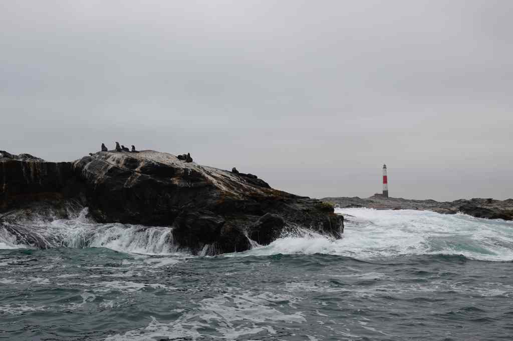
On the way to see the penguins we passed the port’s lighthouse and a few seals; dolphins also followed our boat but proved frustratingly hard to capture on film.

Luderitz lighthouse and seals

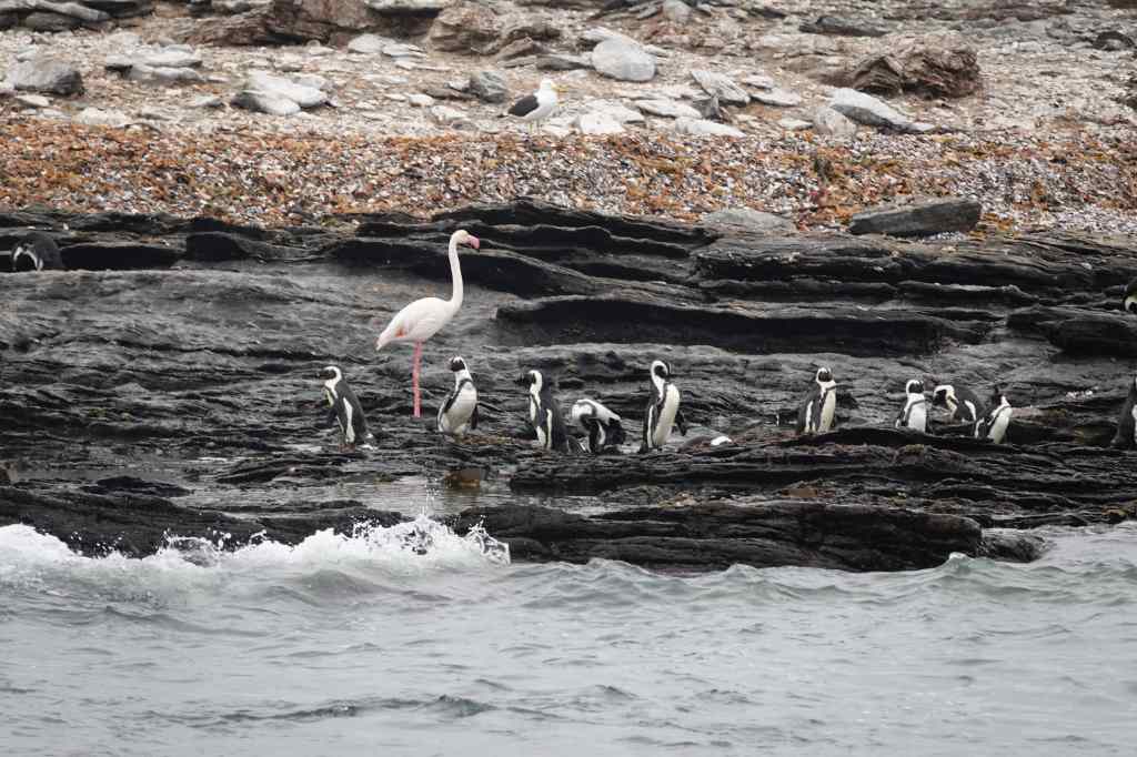
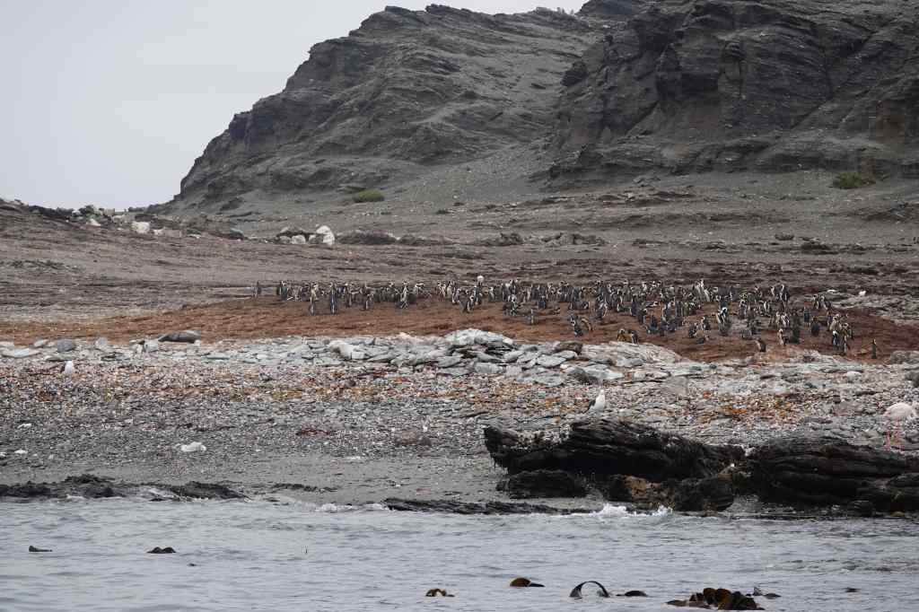
When we got to Halifax Island, we saw a large colony (about 1,000 pairs) of nesting penguins with the added bonus of a few flamingos. It was the first time I had seen penguins in the wild.
Penguins and a flamingo on Halifax Island

Most of the penguins nested in two large groups, standing on top of a large mound of guano from generations of birds. I thought this was not the most hygienic place to raise young.

Nesting in their own droppings…hmmmm

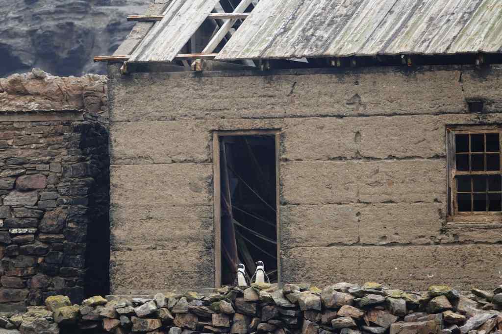
One couple had instead chosen to nest in an abandoned house, which seemed a much more sensible place to me.

Luderitz penguin couple
Houseproud penguins on Halifax Island

After my cruise, I went shopping in the town of Luderitz to buy food to cook that evening. After many evenings of steak, I wanted to find some fresh fish….but bizarrely the city had none, despite being a fishing port. I had to buy meat yet again, and settled back in my room and looked at the sea for a midday break. A seal and a dolphin came looking for fish in the sea right in front of my room – I hope they had more success than I did!

In the early afternoon, I set off for my second excursion of the day, to the abandoned diamond mining town of Kolmanskop. Diamonds were discovered by accident in the area in 1908, by a worker clearing sand from railway tracks. The find prompted a prospecting boom of which the town of Kolmanskop was initially the centre. The miners – mostly German colonists – systematically stripped and sieved the surface levels of sand, at their peak producing a million carats per year of diamonds (or about 12% of total global production). Many became rich in the process, though the native people who provided the manual labour got little or nothing for their efforts. The residents built a hospital, school, and even a casino.

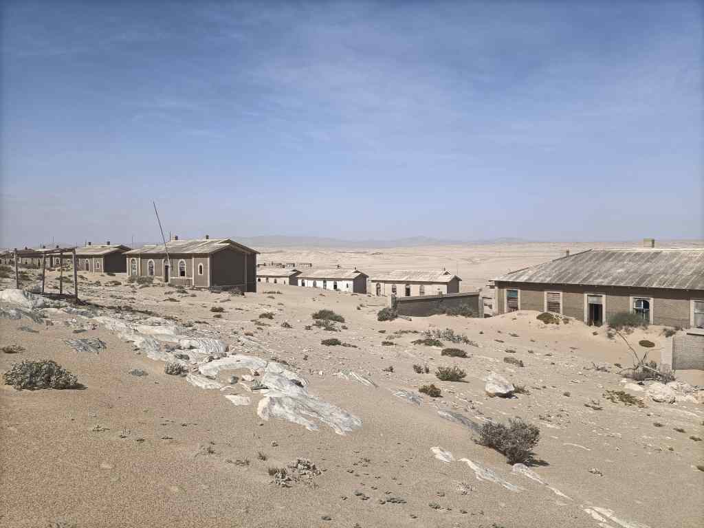
Kolmanskop overview
Overview of Kolmanskop
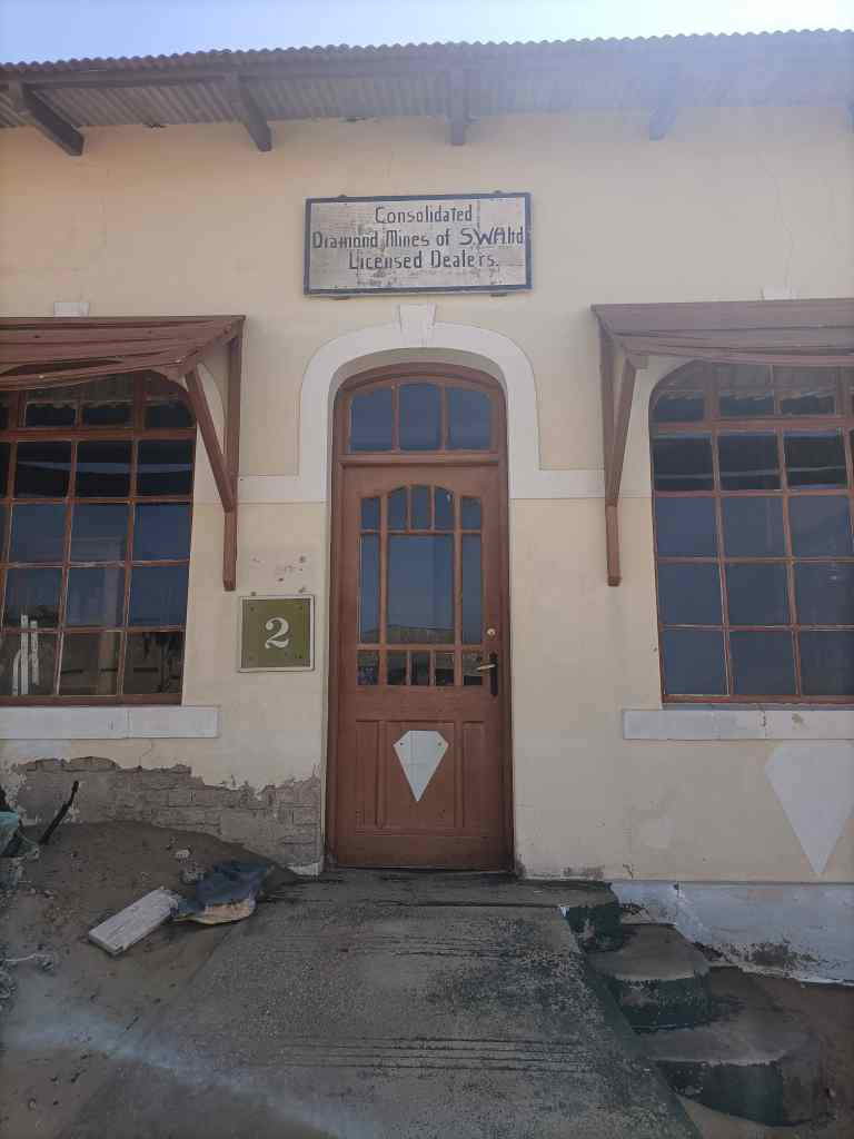
Kolmanskop office
The diamond trading counter

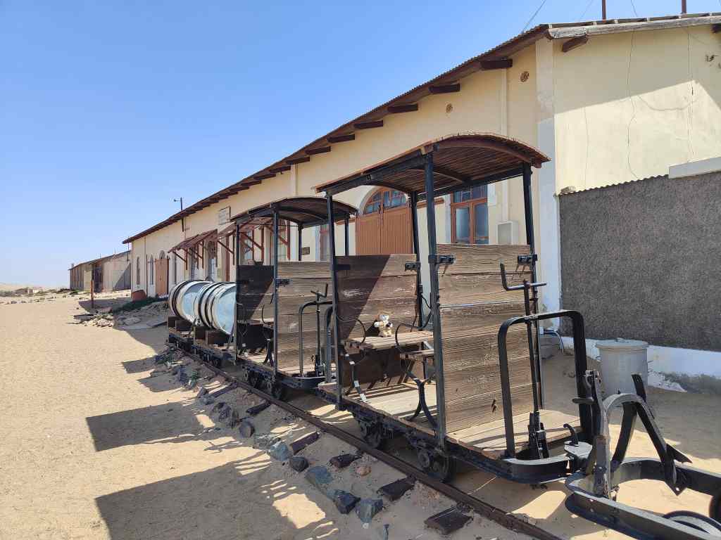
There was a butcher, baker and ice factory, and fresh water was brought in by rail and stored in a big tank on the hill above the town.

A dedicated train line kept Kolmanskop supplied

It couldn’t last. In the late 1920s, the ground around Kolmanskop was almost depleted, and in 1928 another big diamond field was found in a different place. The town’s residents abandoned it, and by the 1950s it was deserted. The sand dunes that constantly move around the area – and which even today need constant clearing from the roads and the railway line – swept in to reclaim the town.

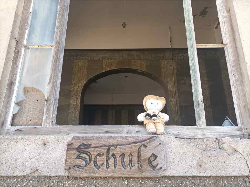
Kolmanskop's school
Entry to Kolmanskop’s school

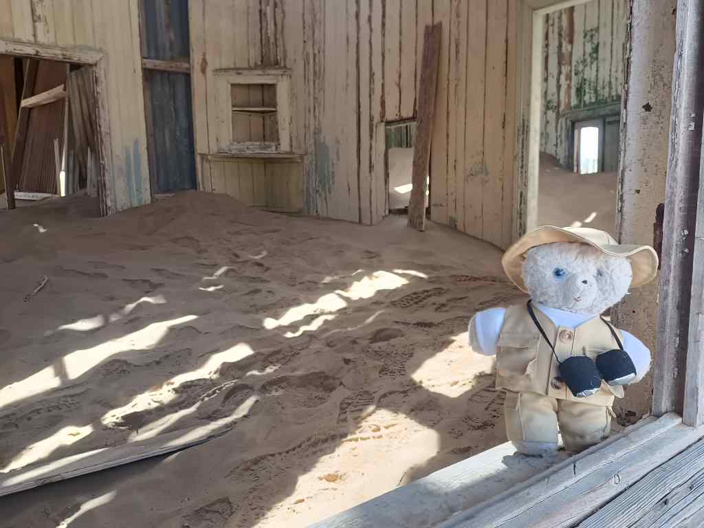
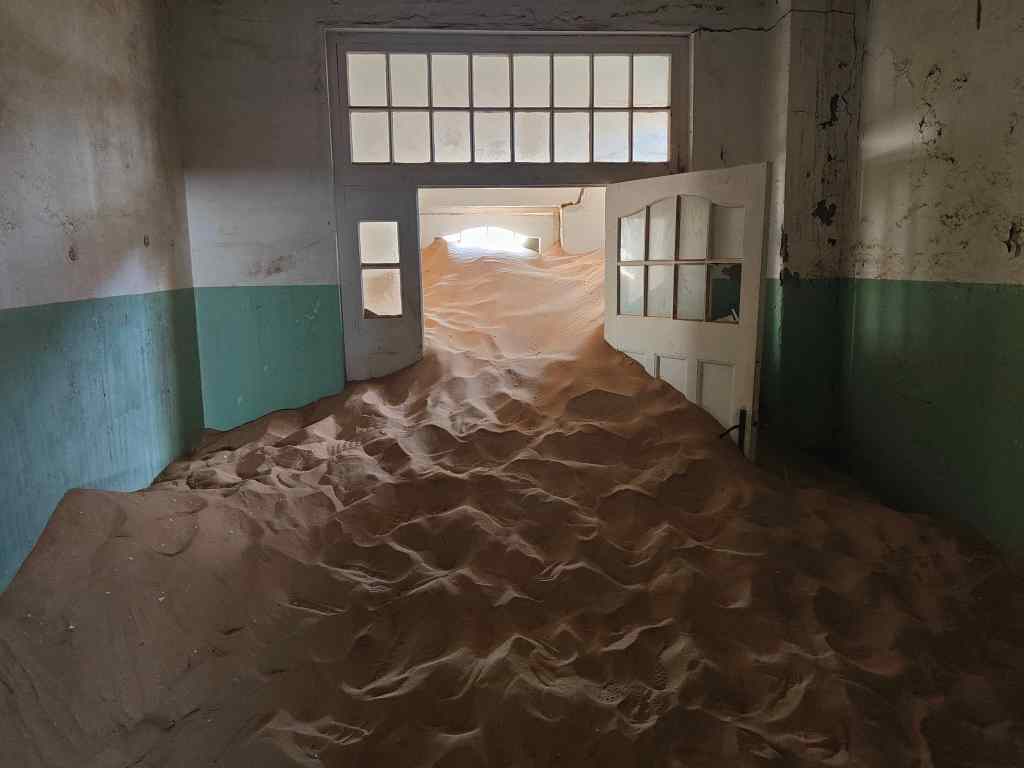
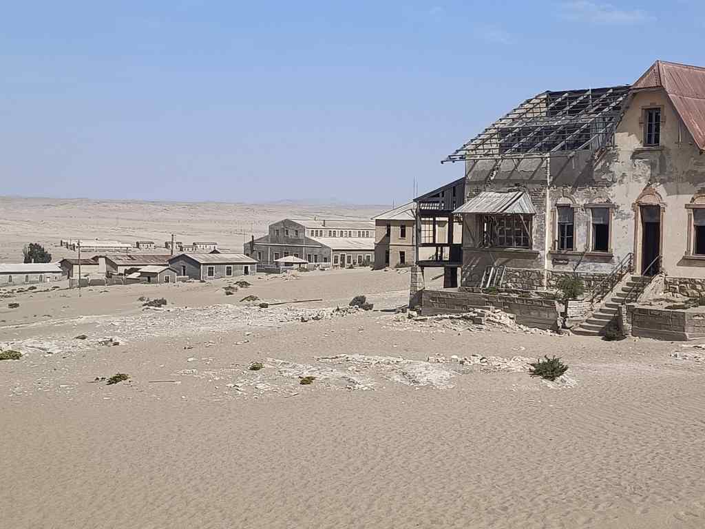
Today, Kolmanskop has become a tourist attraction. Most people visit on the guided tours in the morning, but I bought a special ticket allowing me to walk round in the afternoon, and I had the place completely to myself. A few buildings had been restored, but most had been allowed to slowly decay. The most atmospheric were those which were in the path of the shifting sand dunes. Sand would pile up on their outside walls and force an entry through doors or windows, piling up inside as a continuation of the marching dune.

Sand invading house, Kolmanskop
The irresistible force of nature takes over Kolmanskop’s houses
Kolmanskop the force of nature

I also liked some of the grandest houses, built for the town’s management – like the accountant’s, the architect’s or the quartermaster’s residences. These were built on slightly higher ground and had so far escaped the marching sand dunes.

The accountants house

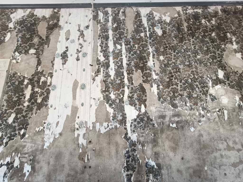
Inside, ornate wallpaper peeled from their walls, and a strange silence reigned. I sat on the veranda of the accountant’s house in the late afternoon sun, reflecting on the transience of life and the futility of humanity’s attempts to defy nature.  

Kolmanskop wallpaper
Faded glory and the transience of human existence

Previous post: Duwisib and its desert horses
Next Post: Off the beaten track in Namibia – Orange River and South African border

Duwisib – the sad story of Hans and Jayta Von Wolf and their horses

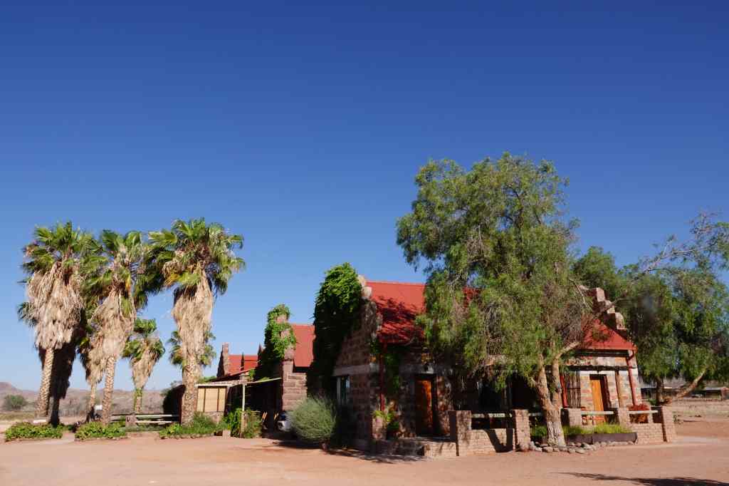
My accommodation in Duwisib was a working farm with a few guest bedrooms, which made a pleasant change to the more commercial lodges I had been staying in up until then. The splashes of green surrounding the farm – plants and fields fed by water from a well – made a welcome change to the constant brown, red and yellow of the Namib desert.

Duwisb Guest Farm
Duwisib Guest Farm
Duwisb Guest Farm
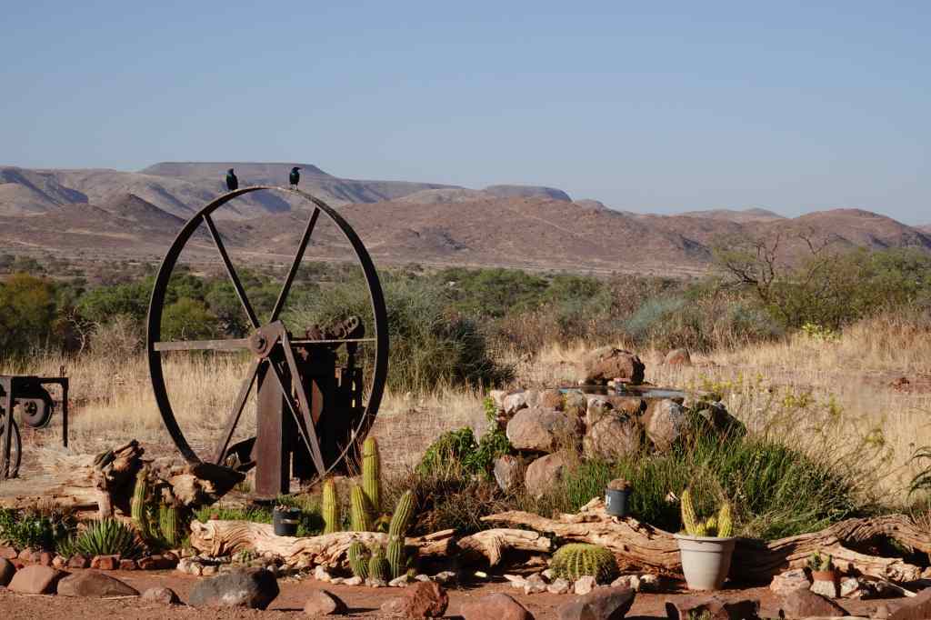
Some green in the landscape for once
Old farm equipment

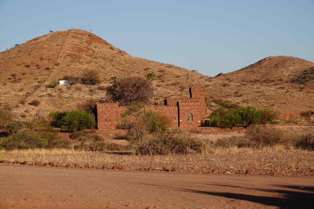
The farm’s owner showed me around and pointed out the small gothic castle improbably located a short way away.

Duwisib Castle
Duwisib Castle

The latter had a strange and sad history. It was the project of a former officer in the German army, Hans Heinrich von Wolf. Poor himself, he married a rich American, Jayta Humphries, who paid for the considerable cost of the project (most of the materials were imported by ship from Germany, then hauled by oxen 300km inland). The newly wed couple camped for two years next to the building site until the work was finally finished in 1909. Von Wolf had intended to use the castle as base to live whilst establishing a farm and breeding horses – a strange project in a near-desert environment. However, the von Wolfs only enjoyed their property for five years; in 1914 war broke out whilst they were travelling to Europe and their ship was diverted to Rio de Janeiro, where Hans Heinrich was interned. He was finally released a couple of years later, and the couple continued their trip to Europe in 1916, where von Wolf rejoined the German army and was killed two weeks later. Jayta never returned to the castle, and eventually remarried and settled in Europe. After the von Wolfs, the castle’s ownership changed hands many times, and today it is owned by the government. It used to be possible to visit but never reopened after the Covid epidemic. The farm owner said we could probably see inside if we made an arrangement with the guardian, but for me it was enough to see the castle from the outside.

The guest farm also gave me the chance to meet some fellow travellers over dinner to swap stories and information. This was also a welcome change after dining on a table alone at desert lodges. I checked that the road I wanted to use the next day, the D707, was open and passable and that its reputedly great scenery was worth the extra time. One of my fellow diners had just come from that direction and assured me that all was good.

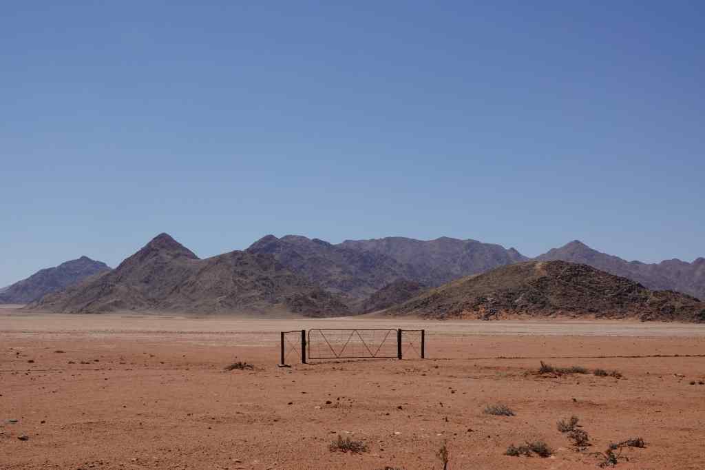
So next morning I set off on another fairly long drive, this time to Luderitz, on the coast in the southwest corner of Namibia. The D707 lived up to its scenic reputation and I made lots of stops to take pictures.

Back to red and brown scenery on the D707
A gate to nowhere…
Still on the D707

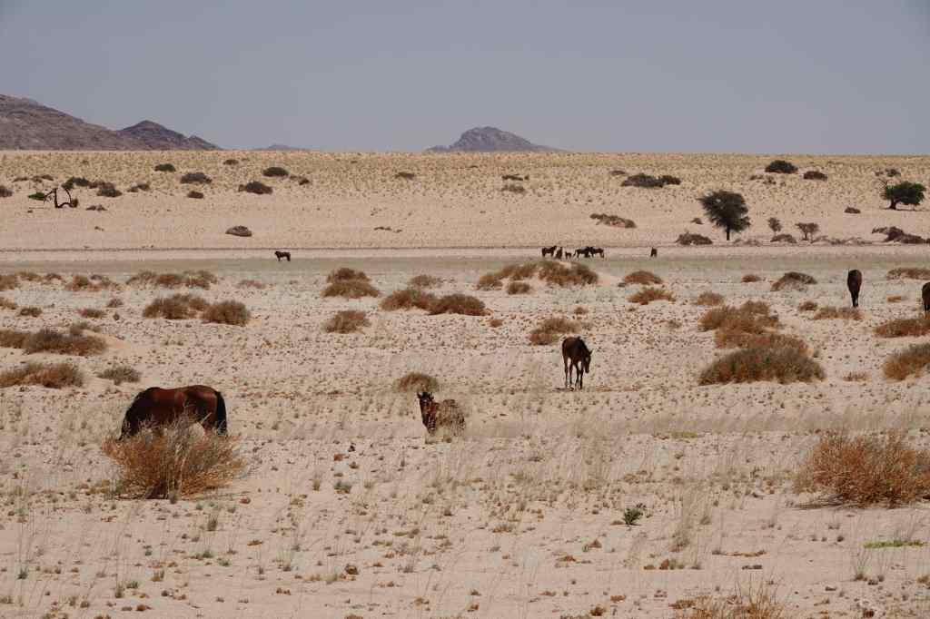
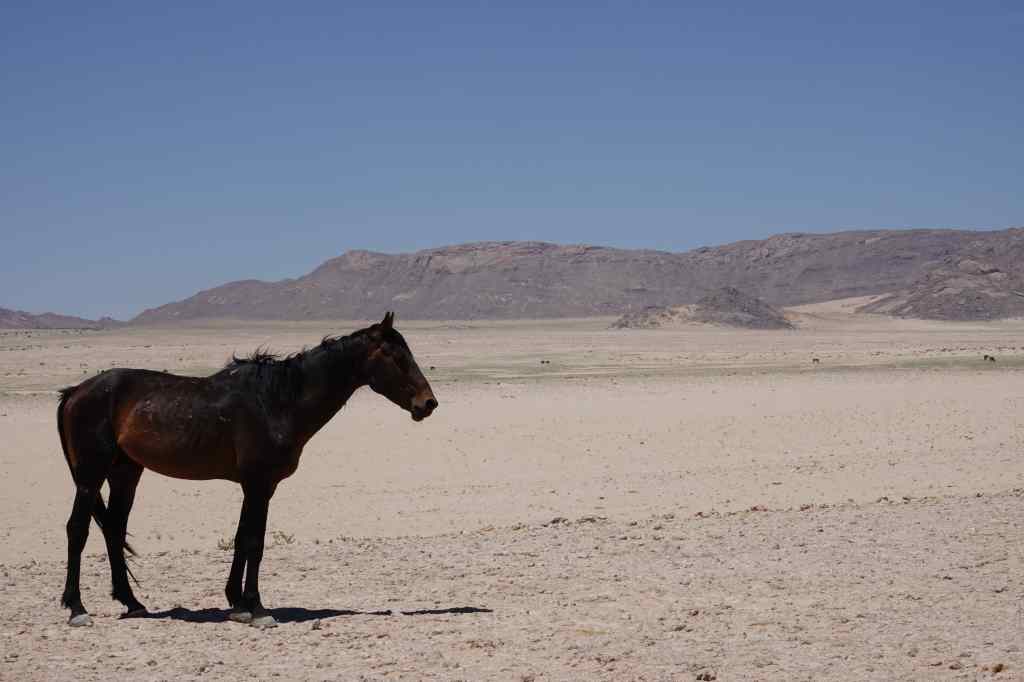
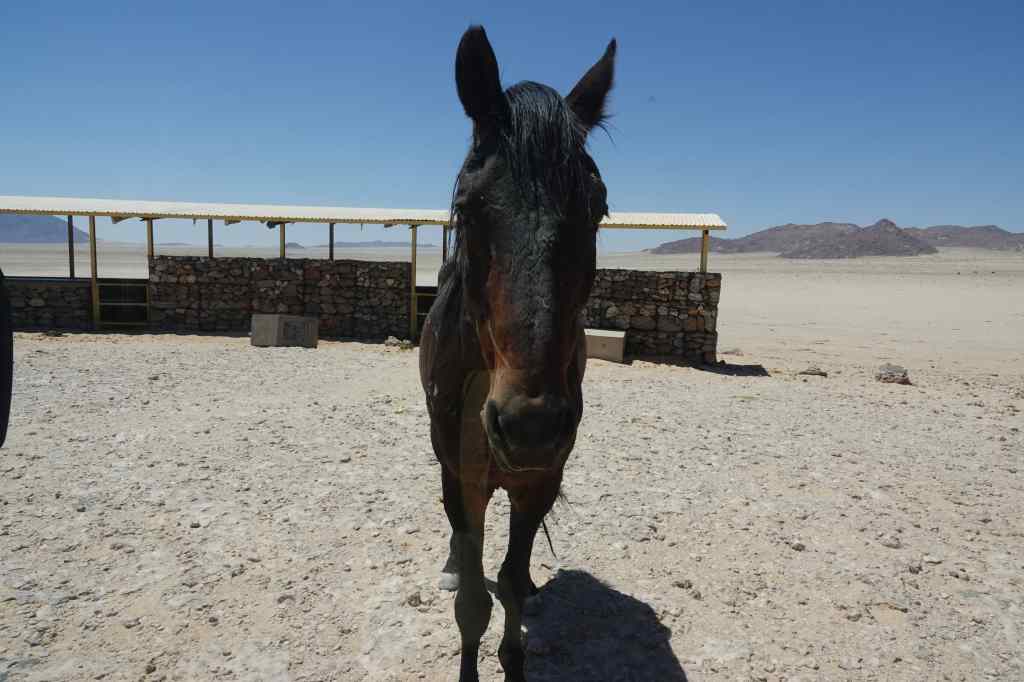
Next, I joined the straight flat and dull but fast B4 to the coast. I made one stop on route, to see a herd of wild horses – the only ones anywhere in the world to live in desert conditions. One theory is that the horses’ ancestors escaped from von Wolf’s farm over a hundred years ago.

desert horses
Desert Horses!
desert horse
A horse poses for my shot
Hungry desert horse
This horse was hungry and approached my car looking for food

After another hour I reached Luderitz, which is known for its colonial German architecture. Indeed, it had a couple of old churches and other buildings dating from its time as the centre of a mining boom just over a hundred years ago (more about this tomorrow). But today the town feels rather poor. The many unoccupied people on the streets stared at me as if they had never seen a bear before, and I felt slightly uncomfortable. Fortunately, my accommodation was in a smart area, right on the sea shore and I checked in and enjoyed the view whilst preparing two very different excursions for the next day.

Next Post: Luderitz

Previous Post: Sossusvlei – Meet Big Daddy and Big Mommy

Sossusvlei – Meet Big Daddy and Big Mommy

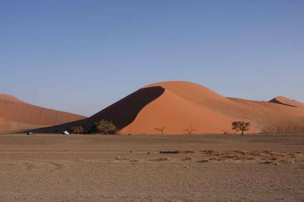
Sossusvlei dune
A dune on the now familiar drive down to Sossusvlei

Today my luck finally changed. When the alarm woke me at 5.30am, all was quiet outside – there was no wind. I hurried to get breakfast and then set off on the now familiar drive to Sossusvlei National Park. I drove straight to the very end, to Sossusvlei itself and found that almost all the other visitors had stopped earlier, at Dune 45 or the Dead Vlei. I had the place almost to myself and set off to climb Big Mommy dune.

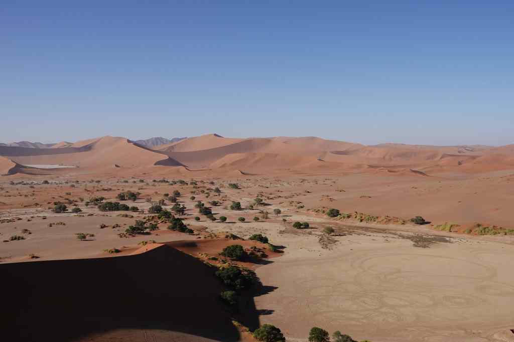
view from big mommy
Looking back at Sossusvlei from the flanks of Big Mommy

It was hard going. The sand stretched up before me, perfectly bare and flat, and devoid of any sign of humans or other large animals having passed that way. The only marks it bore were faint traces left by snakes. For every three steps I made forward, I would slip back two. I finally made it to a pleasant sandy ridge, and lay down to catch my breath and peak over the top to see an endless sea of sand, stretching away into the distance.

half way up Big Mommy Dune
Resting on a ridge on the side of Big Mommy

I looked at my watch. I had been walking an hour and was less than half way up. I was not sure the view from the top of “Big Mommy” would be any better, and if I tried to find out, I would use up the entire morning on the climb. Walking after noon would be impossibly hot.

I decided to retrace my steps to the Dead Vlei car park, where a steady stream of visitors were setting off to climb “Big Daddy”.

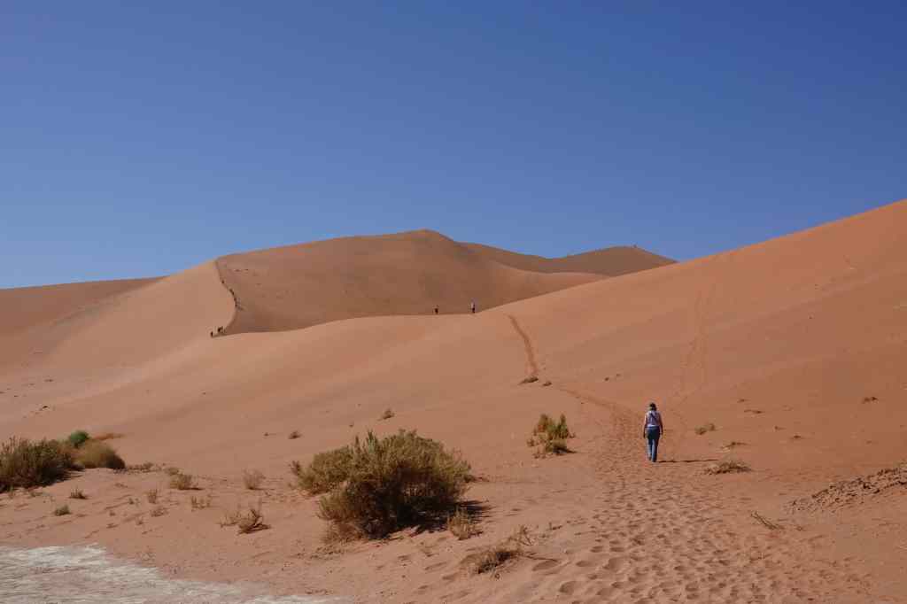
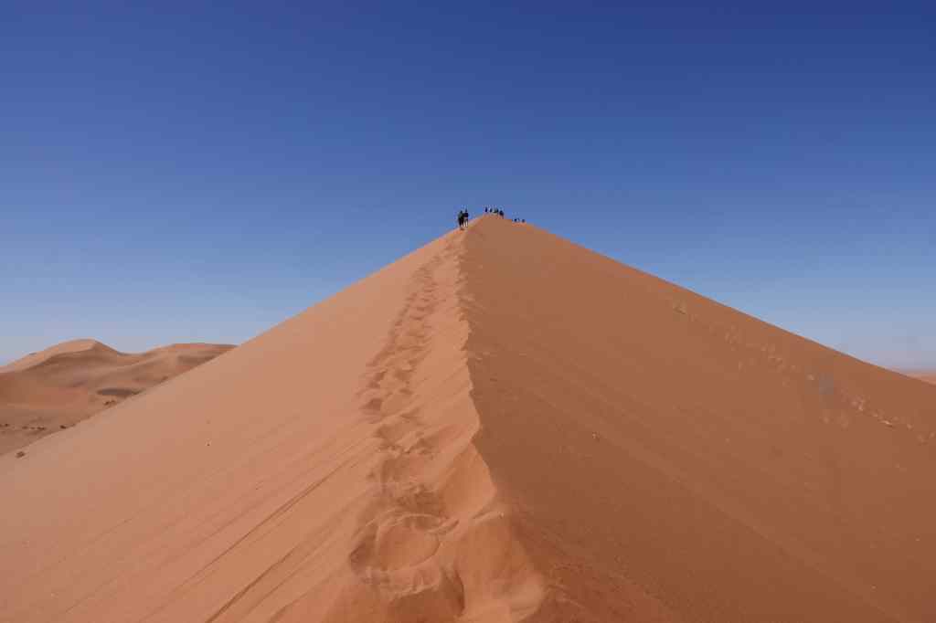
climbing big daddy dune
The start of the popular climb of Big Daddy

I followed in their tracks and found that this climb was much easier – the earlier guests had compacted the sand, and I could use their footprints as a sort of staircase.

climbing big daddy dune
A much easier path
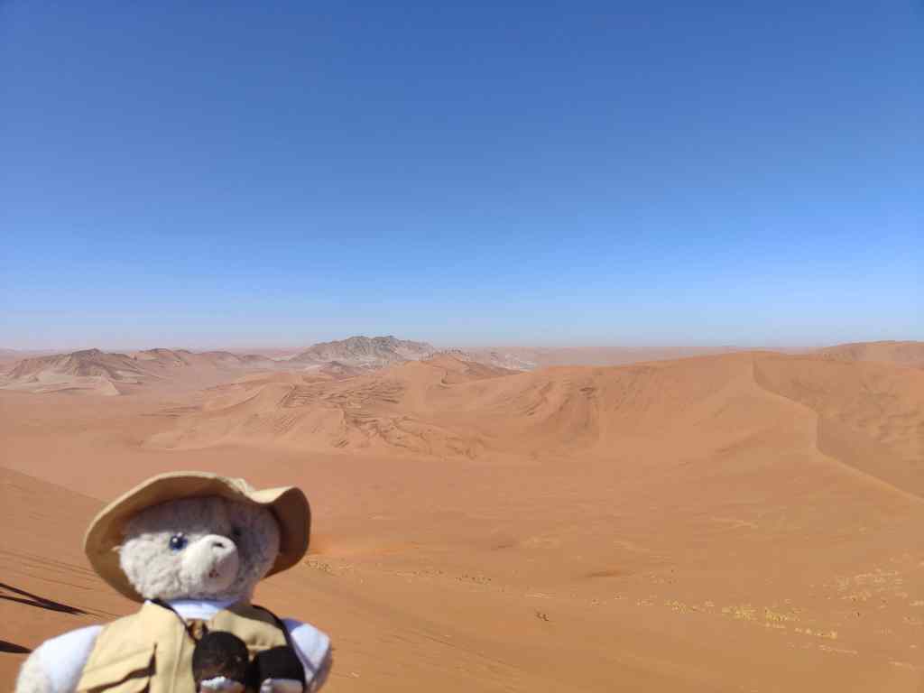
A view from half way up Big Daddy

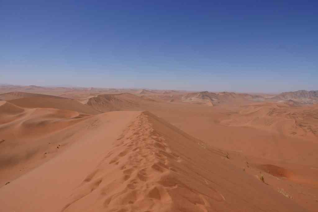
To reach the top took me just under an hour, and I was rewarded with an amazing 360 degree view – east along the river valley and the road, north to the Dead Vlei and “Big Mommy”, south to a range of mountains, and west across countless smaller dunes. In the far distance I fancied I could see the coast and the South Atlantic Ocean some 50km away – or maybe it was the combination of my imagination and a heat mirage.

on top of Big Daddy
On top – looking southwest
view from Big Daddy
Looking west from Big Daddy dune

I stayed a long time absorbing the view and recovering from my exertions. Then I made my descent, which was much quicker than the climb. I noticed some of the taller humans running straight down the steepest part of the dune, making great big strides with their legs. The soft sand swallowed each foot as it landed, and then slid downwards with the foot’s owner. The same shifting sand that had made going up so hard made going down fun…….and very quick. Even with my smaller teddy legs, I was at the bottom of the slop in five minutes, with my shoes full of sand and a big smile on my face.  

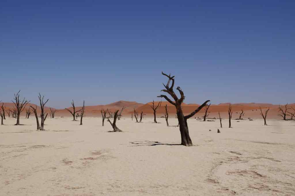
The base of the dune gave a new perspective to the shrivelled trees of the Dead Vlei.

the Dead Vlei
The Dead Vlei again

I traversed the barren empty space in the heat of the late morning to regain my car – hot, tired but happy. I drove back to the park entrance for a well-earned coffee and a cold drink, before making the roughly two hour drive to my next destination – a place called Duwisib, about two hours driving to the south. The road was spectacular – more red and yellow sand dunes, but this time alternating with black and brown rocky mountains. But after my early start and exertions on Big Daddy and Big Mommy I was too tired to stop to take many photos. More about Duwisib in my next post.

On the road south from Sossusvlei to Duwisib

Next Post: Duwisib and its desert horses

Previous Post: Waiting for the Wind to Drop, Sossusvlei

Blog at WordPress.com.

Up ↑