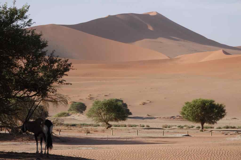
The next day I woke up early again to check the wind. It was still strong, so I went back to sleep. When I got up, I could have a leisurely breakfast and enjoy the lodge’s pool and the view from my room – a desert plain with mountains in the distance, occasionally visited by groups of Oryx.
Oryx stroll past my veranda
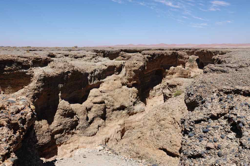
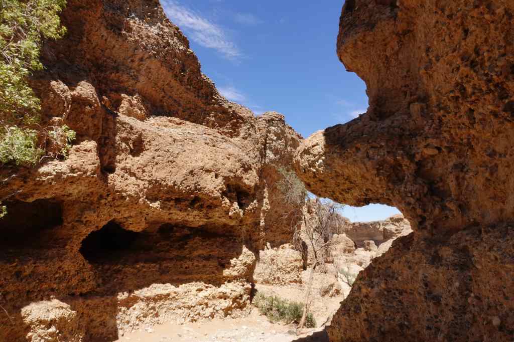
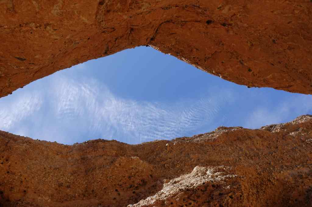
In the afternoon, I went to visit Sesriem Canyon – also in the national park. It was an interesting fissure in the ground, protected from wind and sun, so ideal to visit at that time.
Sesriem canyon – from aboveInside Sesriem CanyonA narrow path inside Sesriem CanyonLooking up
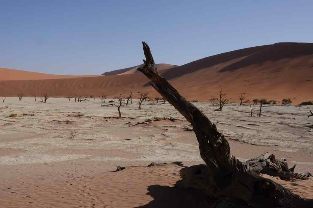
After visiting the canyon, I noticed that wind had dropped so I continued the road to the end, to visit the more famous giant dunes. I arrived first at the “Dead Vlei” – an atmospheric area of dead trees at the base of “Big Daddy” dune. All the other visitors were heading in the opposite direction, leaving the park. In Afrikaans, a “vlei” is a low-lying area of ground, sometimes filled with water, sometimes dry.
The Dead Vlei
From there I continued to the very end of the road, along a sandy track that was only suitable for 4×4 vehicles, to Sossusvlei itself. I arrived at around half past five to find that everyone else had left and I was the only visitor. Ahead of me rose Big Mommy dune, but since I had to be out of the park by sunset, I did not have enough time to climb it. Instead, I enjoyed the perfect calm and the company of a solitary Oryx who had wandered this far. I resolved to hike the dunes the following day, whatever the weather.
In front of Big Mommy duneSossusvlei with Big Mommy Dune and a solitary Oryx
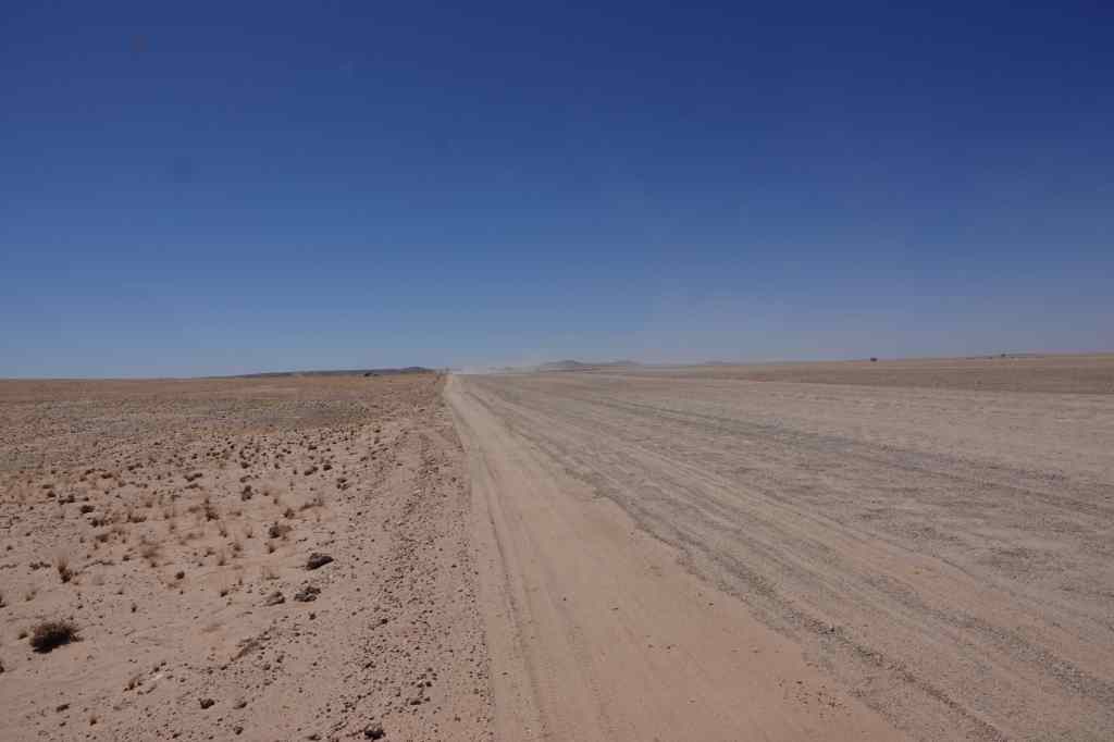
Today I made the long drive from Swakopmund on the coast to the centre of Namibia, to a place called Sesriem, near Sossusvlei, where Namibia’s most famous sand dunes are located. At Swakopmund several people told the road was in bad condition and the drive very boring. At first, they seemed to be right, as I crossed an almost featureless desert while bouncing up and down as I drove over a badly corrugated section of track.
An unpromising start to the drive
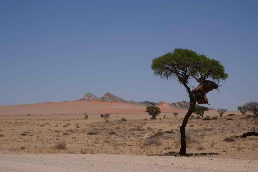
But later the road improved, and the scenery became interesting.
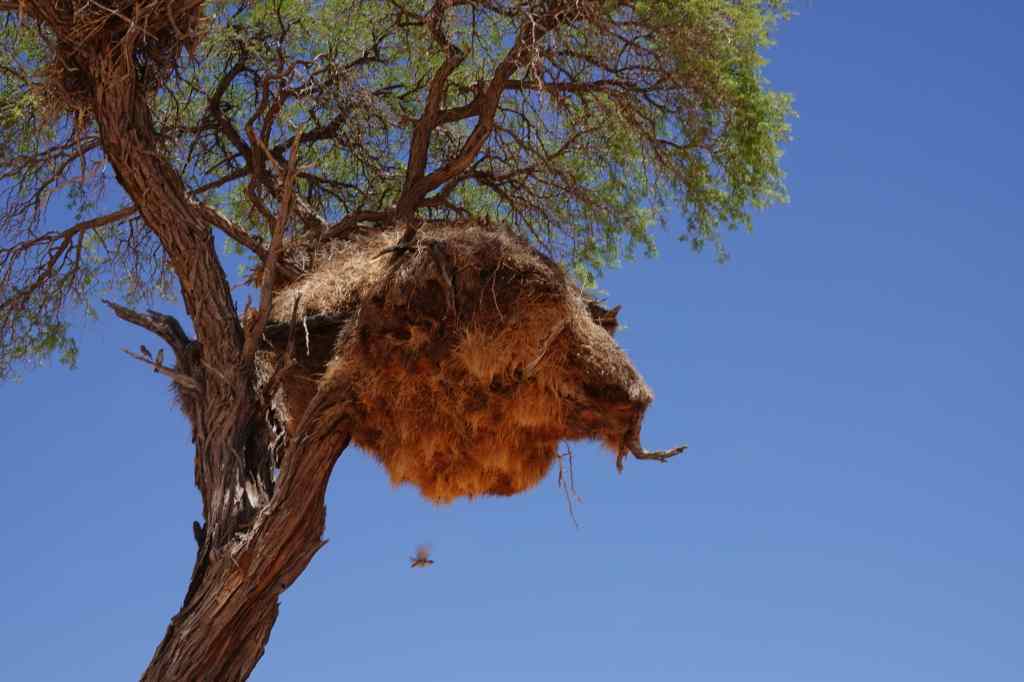
The famous red dunes begin to appear…A weaver bird nest
After a few hours I reached a tiny settlement, aptly named Solitaire. It sat at the main road junction in its region and had all the essentials for travellers in Namibia – a petrol station, car repair workshop and a very good café with bakery. I enjoyed an excellent cappuccino as a stream of other drivers came and went.
The essential stop of Solitaire, with its collection of rusting vintage cars
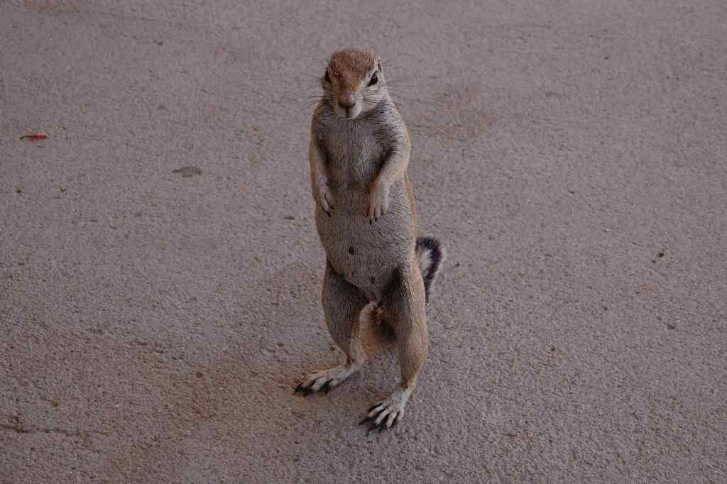
I also made friends with this little chap.
This ground squirrel had worked out that the cafe was a good place to get fed by visitors
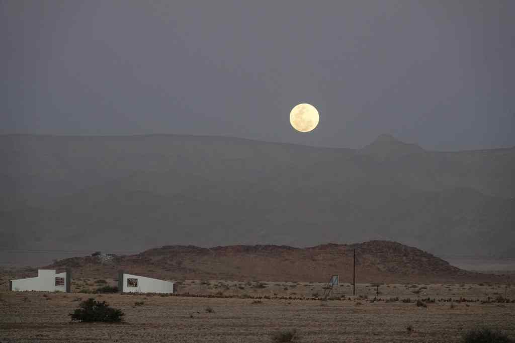
From Solitaire it was a short drive to my accommodation – yet another bush camp, located on a flat desert plain, about forty minutes drive from the entrance to the Sossusvlei national park. I enjoyed a glass of wine from their lounge as I watched the moon rise over the distant mountains.
Moonrise over the camp’s gates
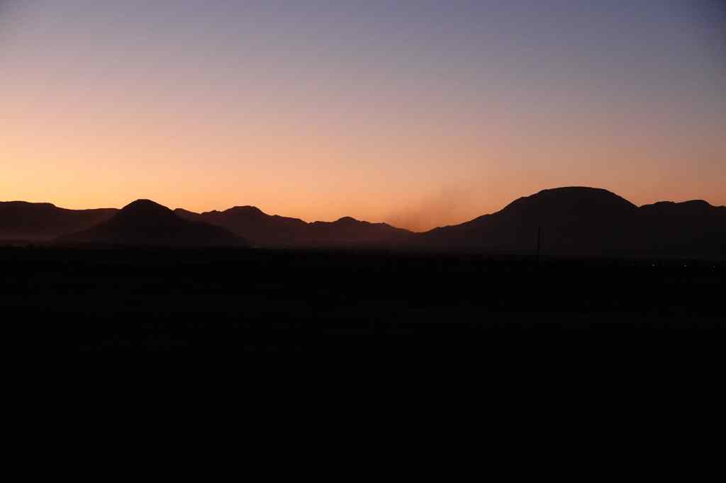
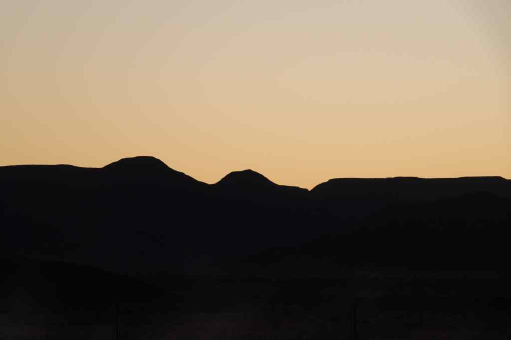
Most visitors travel to the sand dunes either early in the morning or late in the afternoon, when it is cooler and when the light is better for photography. My early morning visit involved getting up at 5.30am in order to get to the dunes area for 7.30am. I awoke to sound of a strong wind, which worried me – wind and sand are not a good combination. I did not manage to shower, since the hot water was provided by solar power, and the sun had not yet risen. As I had breakfast, the sky changed colour, and it became quite light, even before the sun appeared.
The light changing in the desert before sunrise
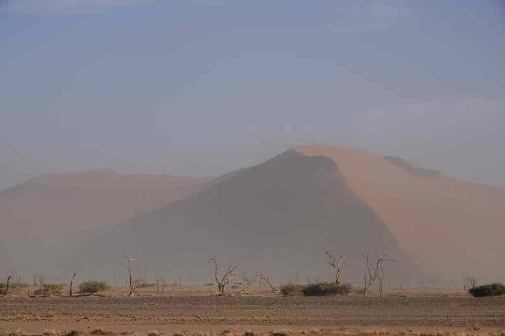
I drove off to the park entrance, which was at the start of the long valley of a now-dry river lined on both sides with sand dunes. The river’s course was marked by dead and living trees – the latter surviving from water that continued to pass deep underground. There was a good asphalt road that followed the valley, with great views of the dunes on either side – at least, when the ferocious wind occasionally stopped, and the dust settled.
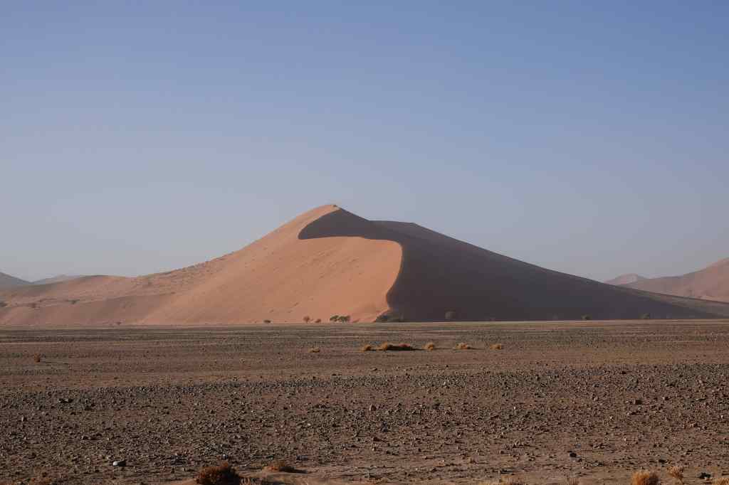
Some of the many dunes lining the road
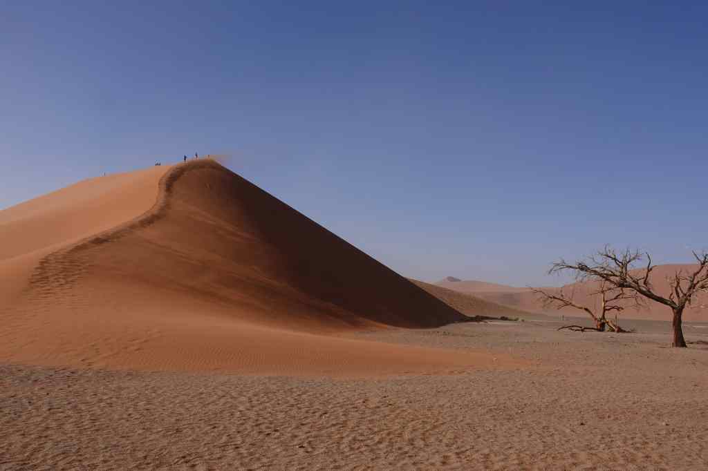
One of the best known is called Dune 45 and had already many people trying to climb it.
The ever popular Dune 45
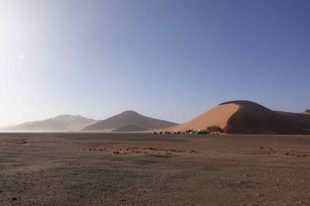
I continued right to the end of the road, where there was a parking area in a depression (or “vlei”) at the base of very largest dunes. I was greeted with an almost apocalyptic scene. Visitors struggled to open their car doors against the force of the wind, and then staggered around, holding onto their hats and bowing their heads to hide their faces from the stinging sand. I realised that visiting this part of the park was pointless and drove back to Dune 45, where conditions seemed to be better.
Back at Dune 45 “base camp”
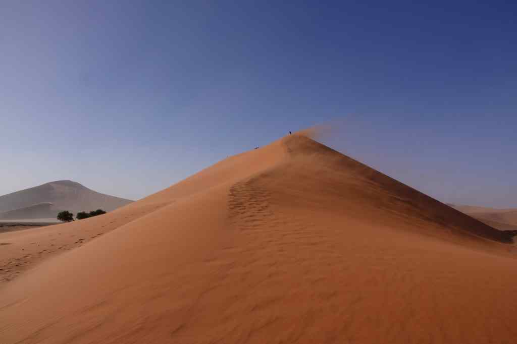
I parked at the base of the dune and struggled up the bright red sandy slope. My worries about not showering were soon forgotten as the wind sandblasted my fur, no doubt removing any possible dirt and a few layers of skin. It was a hard climb – for every little step forward I would slip backwards half a step in the sand.
Part way up Dune 45
Half-way up, I dropped the lens cap of my camera and it rolled on its side all the way down – I could not have done such a perfect trajectory if I had tried. I had to hurry down the slope to collect it before it got buried by sand and lost forever. Then I recommenced the long struggle up….
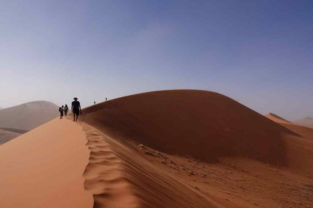
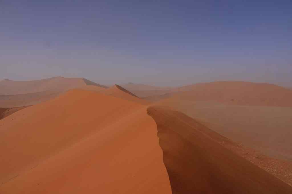
The view from the top of Dune 45, Sossusvlei
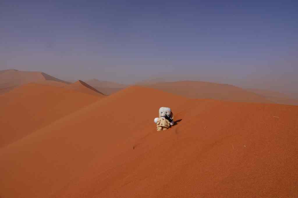
When I finally managed to struggle to the top, my efforts were well worth it. There were fine views across the field of dunes and the opportunity to take some great selfies.
Made it!
Proud of my achievement I headed back to the park gate to the small village of Sesriem and enjoyed a much needed coffee. I headed back to my bush camp to catch up on some lost sleep and to enjoy the pool before dinner. I had been surprised that my tour agent had booked me three nights near Sossusvlei, but now I was very glad – I had several more chances to see the largest dunes, at the end of the valley, under more favourable conditions. And my brief morning visited supported my guidebook’s assertion that the area was one of Africa’s most spectacular attractions.
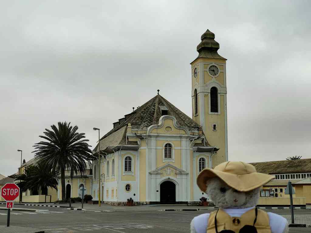
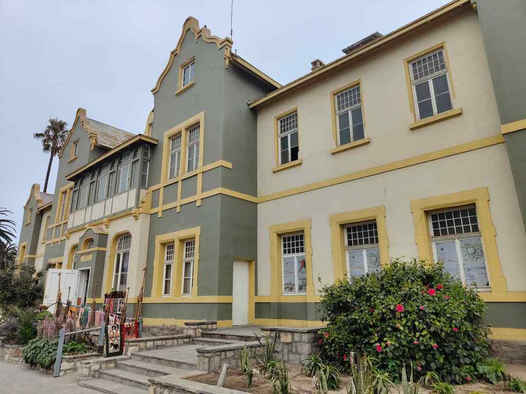
Today I explored the quaint town of Swakopmund in the morning. In December and January, it is a popular holiday getaway for people living in the capital, Windhoek, but in October it was a pleasant, sleepy town with some fine colonial German architecture, dating from the 1900s. Unlike all the other places I had visited in Namibia, the weather was overcast and even a bit chilly.
SwakopmundColonial architecture in Swakopmund
It may also be the last city in the world that still has a “Kaiser Wilhelm” Street.
The Alte Apotheke on Kaiser Wilhelm Street
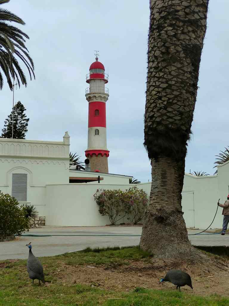
I strolled around, enjoying the sensation of walking after many days spent in the car, as well as the small-town laid-back atmosphere. Lots of guinea fowl wandered around the town’s parks, obviously feeling very safe. In most other places they would have ended up on a restaurant plate, but maybe Swakopmund’s excellent seafood keeps them safe from this fate.
Guinea fowl roaming free in the park and Swakopmund lighthouse
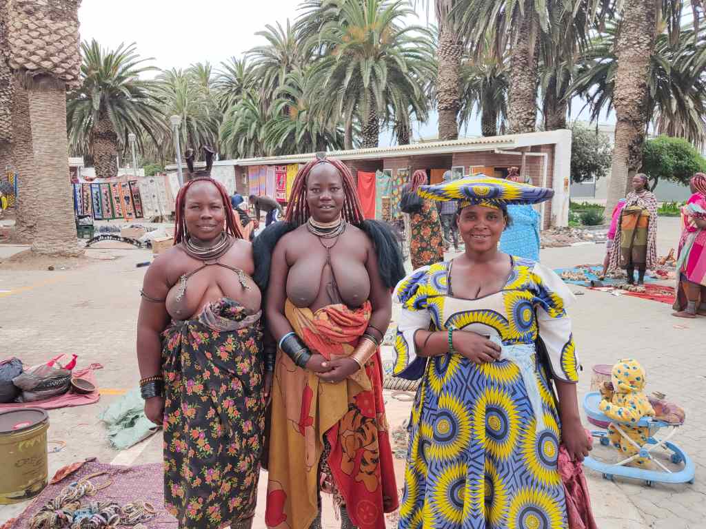
I also visited the local market where some tribeswomen posed for a photo for me.
Ladies from the local market in Swakopmund
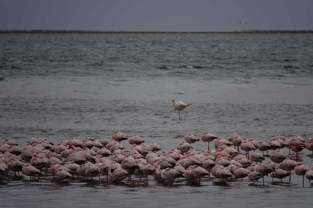
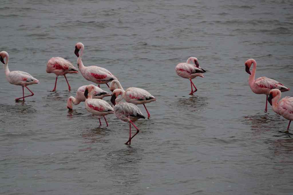
In the afternoon I had booked a tour of the area. The route went through Walvis Bay, another of Namibia’s small cities, which had a colony of flamingos wading just off its shoreline.
Flamingos at Walvis Bay
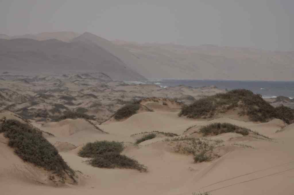
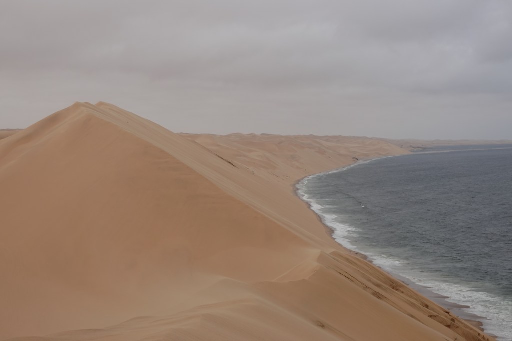
My tour continued towards Sandwich Harbour, a national park accessible only by 4×4. At first the scenery was pleasant but unremarkable, a little bit like the Skeleton Coast, but a bit sunnier; but in the distance I could see the giant dunes plunging into the sea. This was our destination.
Stuck in sand! Sandwich Harbour – the big dunes loom in the distance
Our driver took us up onto the giant dunes and showed off his skills driving on sand, up and down steep slopes.
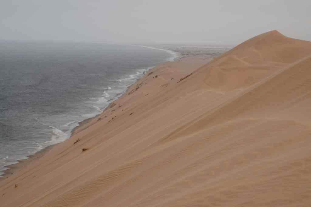
It was great fun, and the adrenaline rush made a good change from the more sedate pace of my holiday so far. We finally ended up on a dune nicknamed “Kodak” because of its endlessly photogenic views.
The views from “Kodak” dune
We then did some more dune driving before having a snack and then heading home. It had been a good day, and I returned to the seafood restaurant I had visited the night before to treat myself to kingclip (a local fish) and giant prawns.
Today I set off on a long drive, from Twyfelfontein to Swakopmund, which is Namibia’s fifth biggest city (albeit with a population of only 25,000) and located on the coast, roughly half way down the country. To get there I was going to fulfill a childhood dream. When I was a young bear cub, my parents gave me a book about remote places in the world, and I was captivated by one of the them – the Skeleton Coast. The name was so evocative, and the book showed pictures of rolling dunes and wrecked ships, which were victims of the coast’s treacherous currents and dense fogs. Today, the Skeleton Coast is a national park and was rated highly by both my guidebooks. I set off with high expectations. At first, the road passed through some pretty Damaraland mountain scenery.
Damaraland scenery on way to Skeleton CoastMore Damaraland scenery
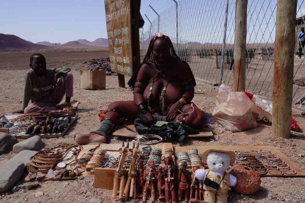
Then it became flat, and headed like an arrow to the coast. I reached the gates of the park at around 11am, and met this striking tribeswoman, who was selling jewellery for the few tourists that passed – in the register of visitors for the day, I was number 3.
An impressive sales lady
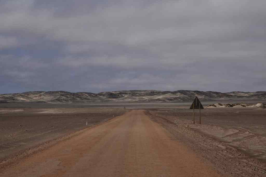
Then I headed into the park for a huge disappointment. The road was flat, and almost featureless. At first, the sea was at out sight, hidden behind some low sand dunes. It wild and desolate, but in a negative nihilistic way and not at all what I had expected.
The Skeleton Coast – two hours of this….
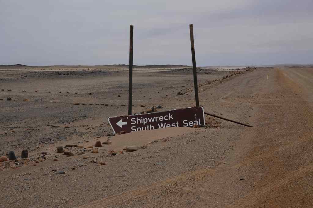
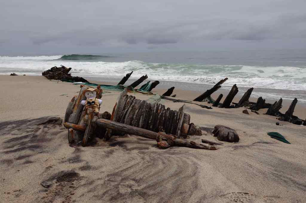
The insurance policy for my car limited my speed on gravel roads to a pedestrian 70 km/h, which made the miles pass very slowly. I tried to find music on my phone to match the utter emptiness of the place, and ended up playing Shostakovich string quartets. After an hour and a half, I saw a sign lying in the sand showing the location of a wreck, so I made a short detour and found the remains of a small fishing boat, which was being slowly buried by sand and dissolved by the salt water of the sea. Nearby was a huge bone from a dead whale, and three corpses of dead seals. It summed up the Skeleton Coast that this was recommended by the guidebook as a highlight and a nice place for a picnic.
Everything fees run-down on the Skeleton CoastOne of the Skeleton Coast’s highlights (really)
In another half an hour I reached the gates at the other end of the park. In the entire two hours I had spent there, I had seen only five living things other than plants – four vultures (who were yet to find the dead seals) and one seagull.
Finally – the exit from the Skeleton Coast!
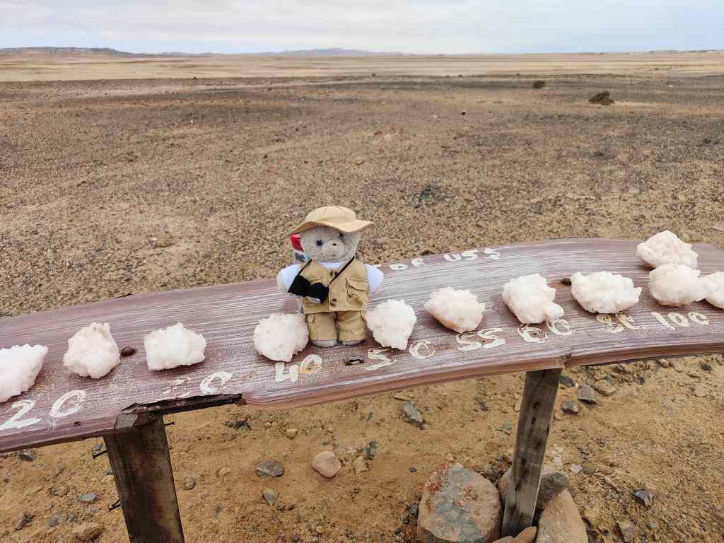
With a sense of relief and disappointment I drove through to different national park, the Dorob. If anything this was even more featureless than the Skeleton Coast – a flat salt plane. But at least it had a salt road rather than a gravel road, meaning I could drive faster. It also had some wildlife – the colony of seals at Cape Cross, which I reached via a side road after a short stop to buy some impressively bulky salt crystals.
Buying salt
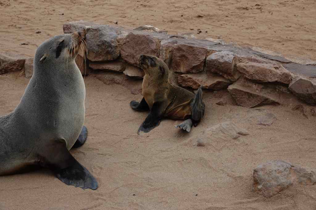
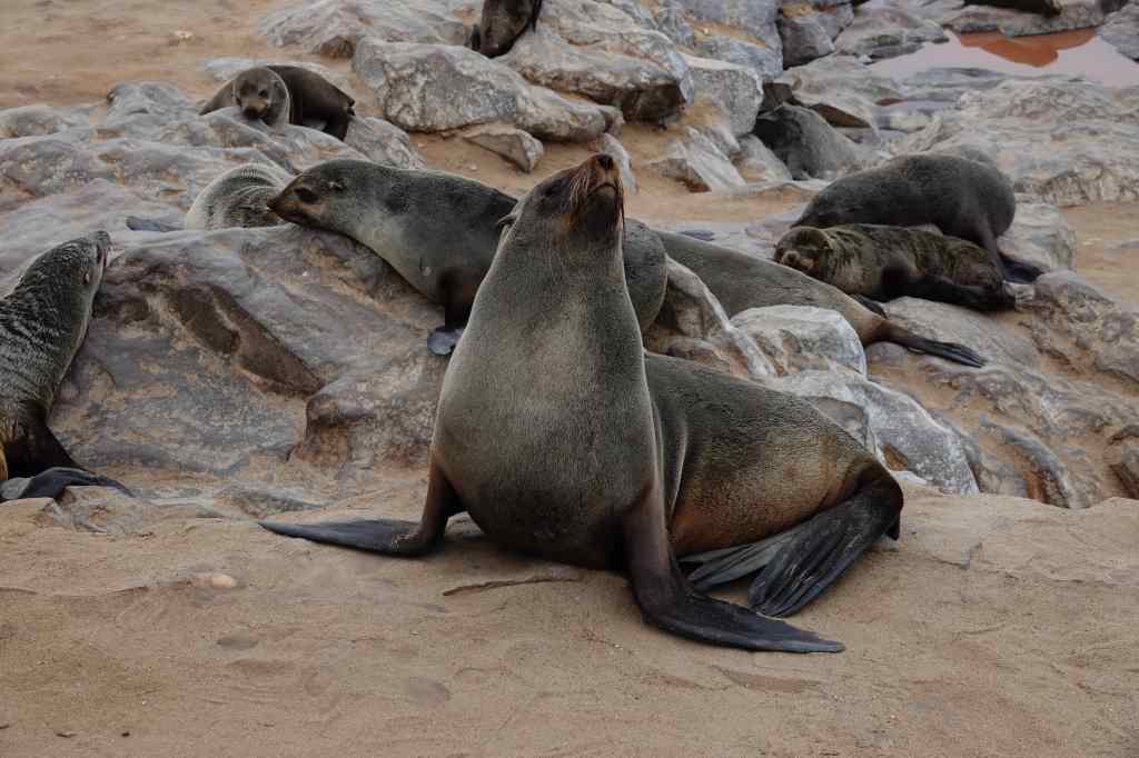
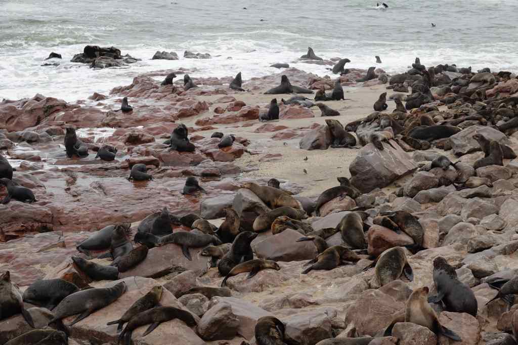
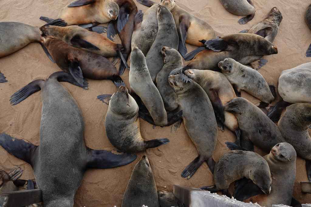
The Cape Cross seal colony was impressive – hundreds of seals lying on the sand or on rocks. There were also many dead animals, mostly pups, lying on the sand being pecked at by gulls. A wooden walkway took visitors around and over the colony; the narrow space under the walkway seemed to be a popular place for seals to rest. The noise – males fighting each other for females, or seals grunting in alarm as I was walked above them – was deafening. Even more overpowering was the stench, that covered the whole area. It resembled rotting fish, with maybe decaying flesh mixed in. I hurried to find the place on the walkway closest to the shore, reasoning that the air coming from the sea must be a bit more breathable. I stayed to take pictures until my nose and stomach insisted that it was time to leave to escape the putrid odour. On the photos, the seals look cute and pretty, but it is hard to convey how bad they smell.
A resident of Cape Cross Seal ColonySeals everywhere! Cape CrossCape Cross seals – cute….but oh, so smelly
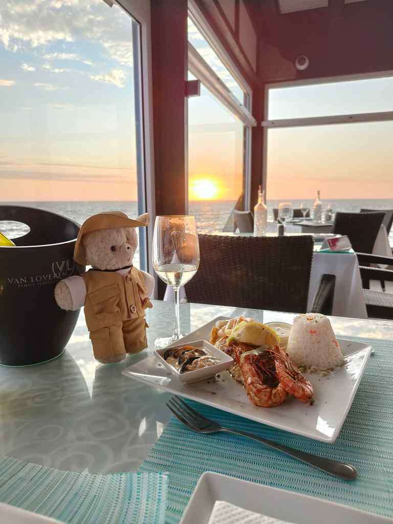
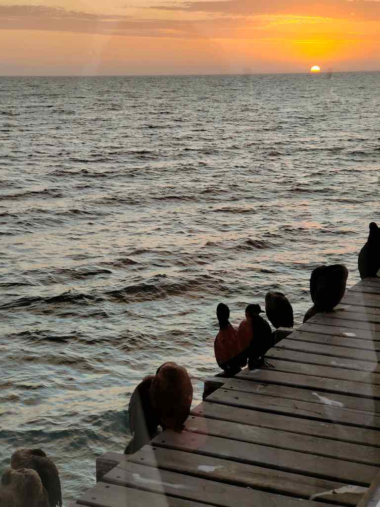
I regained my car and sped away, opening the windows wide to force the smell of the seals out of my clothes and fur. Soon I reached an asphalted road and could speed the remaining 100km/h to Swakopmund, where I just had time to check into my guest house before heading off for dinner. It had been a difficult day. The Skeleton Coast, which had so intrigued me in my childhood, had turned out to be a big disappointment. Going back to my guidebooks, I noticed that most of the photos shown were taken from the air – maybe the place is attractive from this perspective, but from ground level it was desolate and monotonous. I comforted myself with an excellent dinner in a fish restaurant located at the end of Swakopmund’s pier, in the company of a group of cormorants. It was nice to the have the company of living things that did not smell bad.
Sunset in a good restaurant in Swakopmund….the solution to a difficult day on the road
Today I headed west from Etosha to Damaraland, a remote and dry part of Namibia that has famous collections of rock art (although most of Namibia is remote and dry). I spent the morning visiting a couple more waterholes, both of which were teaming with wildlife.
Early morning crowds at Etosha waterholesScanning Etosha’s horizon for more game from my car window
I then headed south to one of the park’s gates and said a sad goodbye to Etosha. It certainly deserves its reputation as one of the best places in the world to see game. I continued south to the town of Outjo, where I managed to find a usb cable for my camera (an essential first step in writing my blog). From there I headed west. At first, the road was asphalted, but then it turned into gravel. The scenery changed, as endless plains gave way to mountains and some interesting rock formations.
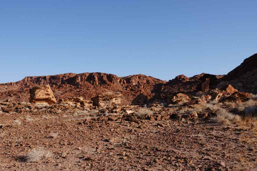
Damaraland scenery
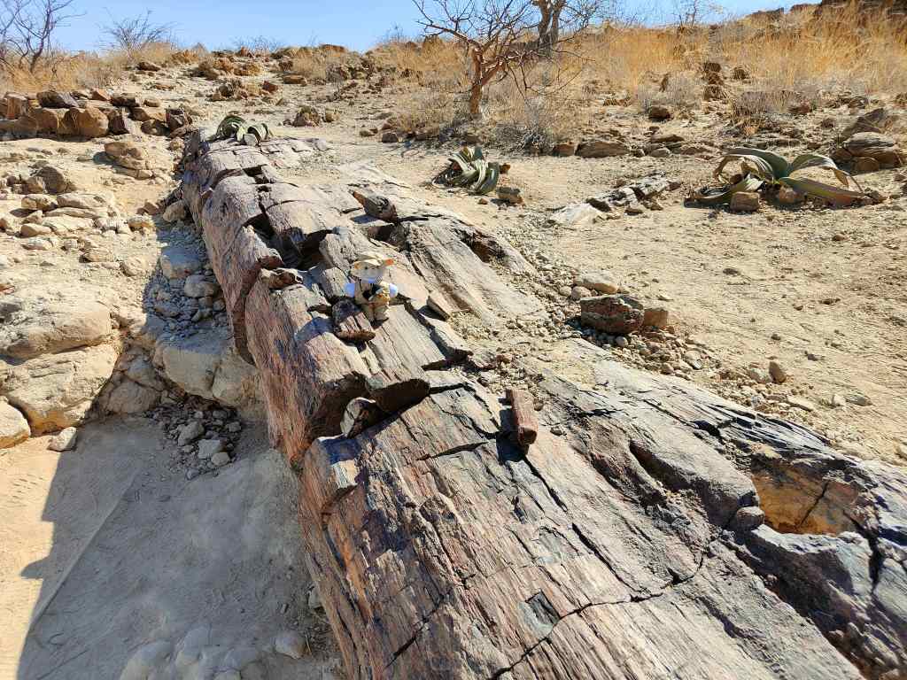
I made a brief stop at the site of a petrified forest. Thousands of years ago, a great flood deposited some huge tree trunks, hundreds of kilometres away from where they had been growing. The trees were buried by sand and their organic matter slowly replaced by minerals – fossilising them.
A petrified tree, Damaraland
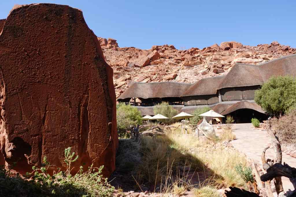
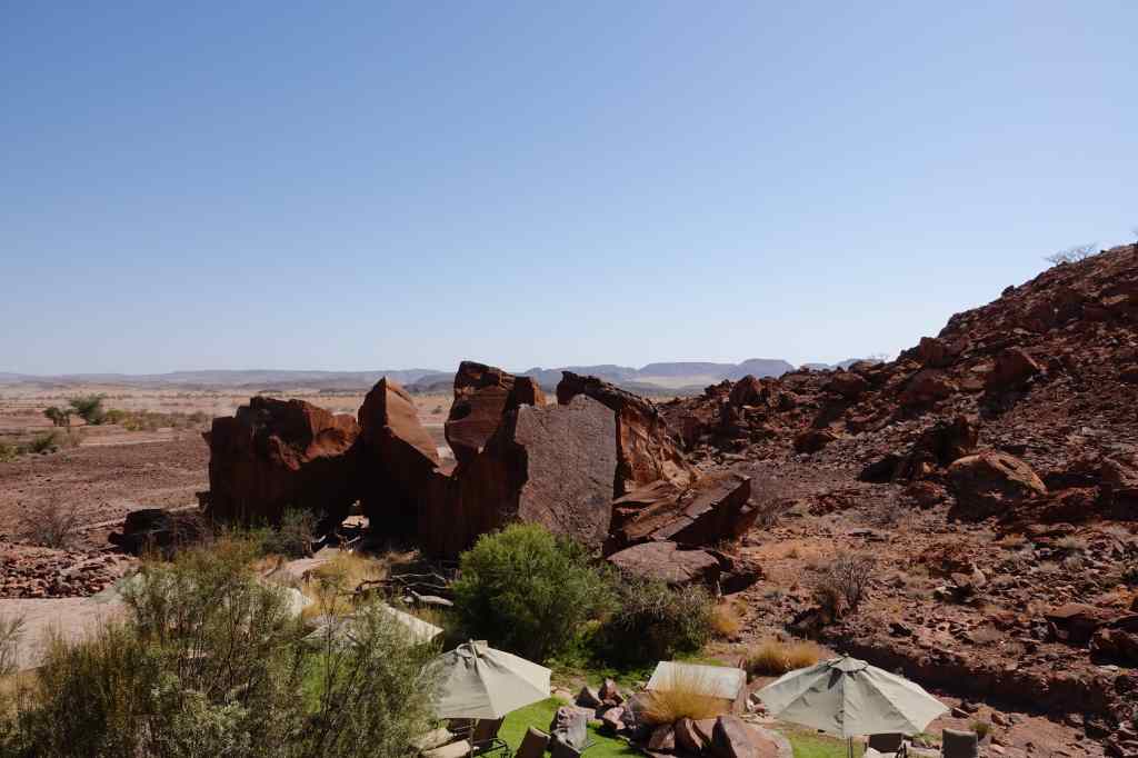
My next lodge was at a placed called Twyfelfontein, at the end of a particularly remote country road. It was built into the side of a mountain, around a bright red outcrop of rocks. I arrived in the late afternoon and settled down in the bar for an aperitif before an excellent buffet dinner.
My next lodge, DamaralandThe view from the bar
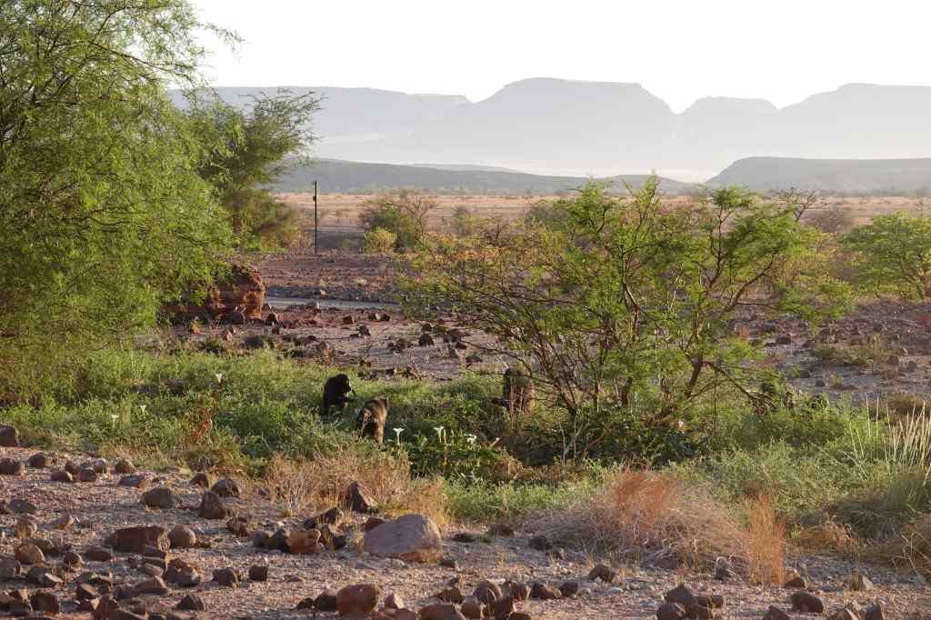
The next morning, I awoke to find baboons playing and drinking from the pond in front of my room.
Baboons playing, Damaraland
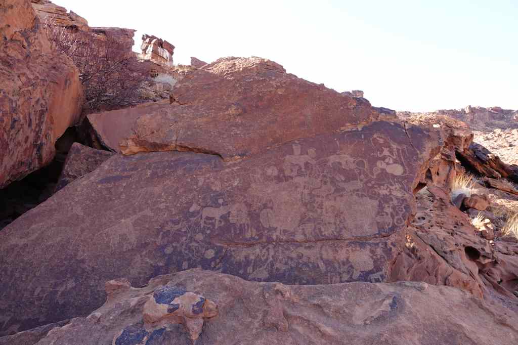
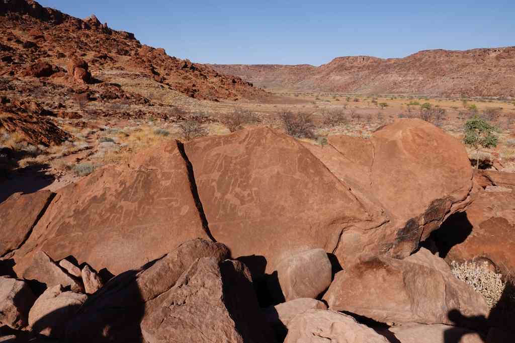
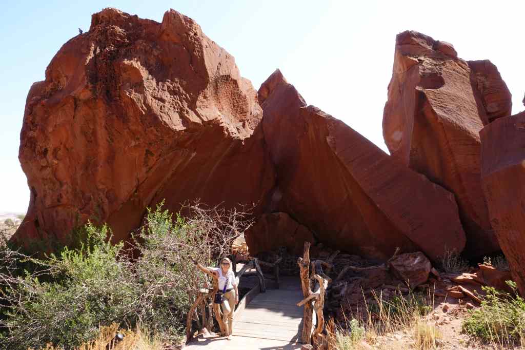
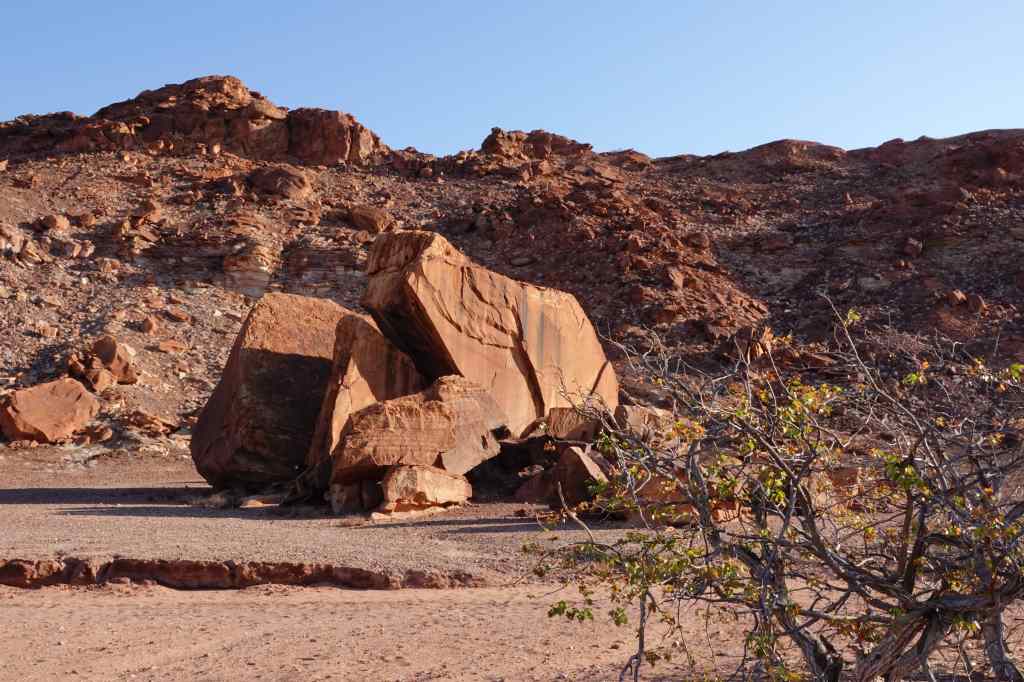
I had breakfast and to avoid the heat and the crowds, I set off early to the Unesco-listed Twyfelfontein rock art site, a short drive away. The area was inhabited by bushmen for thousands of years, and they left thousands of rock engravings (at Twyfelfontein) and some paintings (at a nearby site). I was assigned a guide who showed me around. She said the engravings were five to six thousand years old (on the web I have seen a range of estimates from one to ten thousand) and served various purposes.
The rock art site at Twyfelfontein
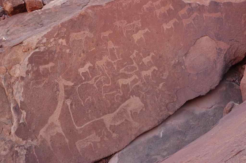
The first set she showed us had representations of animals, and she said it was used to teach the bushmen children about the game in the area and how to hunt.
Educational engravings at Twyfelfontein
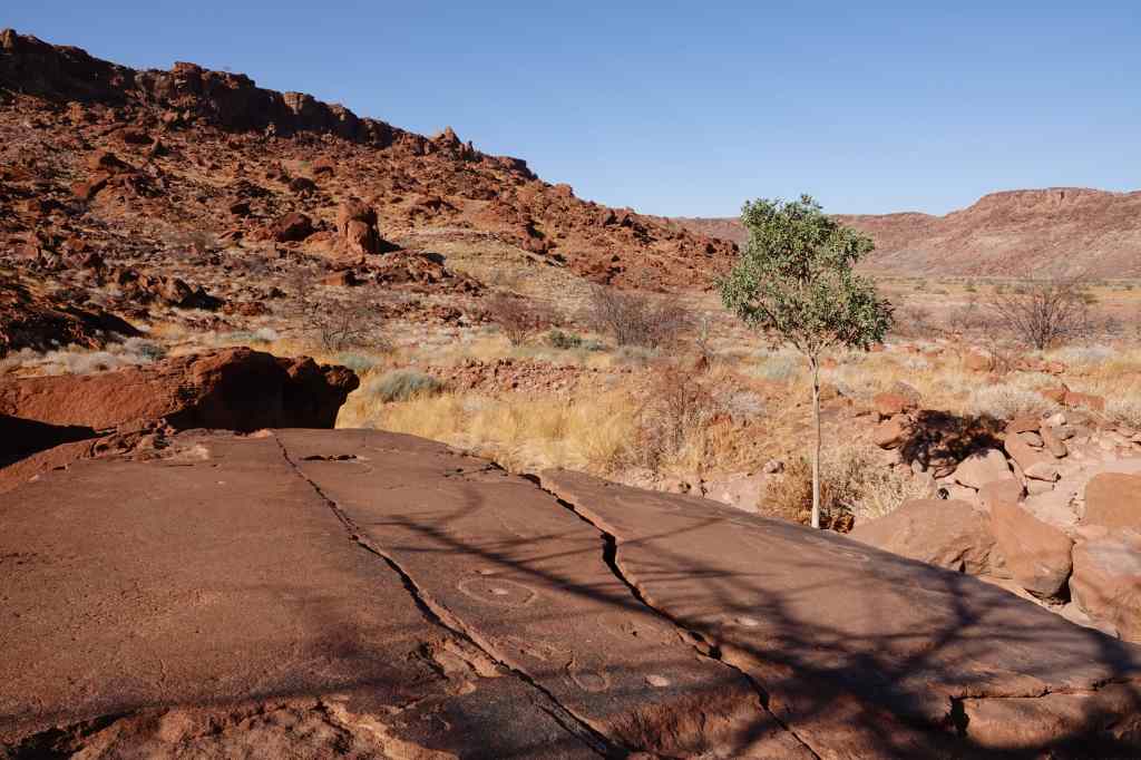
A second set was a map, showing the location of local waterholes – marked with exactly the same symbol that is used on maps today – a circle with a dot in the middle.
Twyfelfontein rock art -The world’s oldest surviving map?
A third set showed more animals, including even seals and penguins – the coast is over a hundred km away, and the engravings prove that the bushmen led a nomadic existence and travelled widely. However there were no pictures of bears…..
More More -Twyfelfontein Rock Art
Other carvings had a religious significance. It is believed that the bushmen had a spiritual leader or shaman, who would go into a trance and have visions. The trance was believed to be a spirit world where the shaman would receive powers to heal the sick and bring rain. In this world, the shaman would change shape into powerful animals and saw strange geometric patterns – both of which are represented in the carvings. The giraffe was a common motif. It was believed to be a sacred animal to the bush, since it had its head in the clouds and could bring rain. The animal is often shown with stylised, wispy legs which may represent the feeling the shaman had during the trance of rising into the air.
Twyfelfontein -Trance animals
The most famous engraving represents another man/beast fusion from a shaman’s trances – a lion with human feet instead of paws and another human hand on the end of a very long tail.
The visit was very interesting, mostly for the guide’s explanation and the excellent information and displays in the visitor centre. These also explained the history of the site, first occupied by hunter/gatherer bushmen, who eventually settled to become farmers – a precarious life that depending upon the rains. In the 1940s an Afrikaans farmer and his family arrived from Cape Town. He gave the site its name, “Twyfelfontein” which means “doubtful spring” in English. The Afrikaans farmer family struggled to cope with the erratic rains and spring for fourteen years before leaving.
My visit lasted only about an hour and I headed back to my base, where I checked out yet more engravings on the rocks right in front of the hotel.
The rocks outside the hotel had yet more art
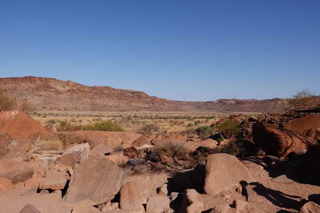
Then I settled down by the pool – after six days spent sitting in cars or airplanes, it was nice to swim and laze in the sun. In the early evening I went for a short walk around the along a marked trail – that eventually petered out. Still, it was pleasant to stretch my legs and absorb more of the austere, rocky scenery of the area.
Local scenery, Damaraland
I had dinner and went to bed early, so as to be ready for the long drive the next day along the famous Skeleton Coast. It was a part of the holiday I was looking forward to with anticipation.
Today I was due to move from the Mushara Bush camp, just outside the east gate of the park, to the Okaukuejo camp located inside the central gate. It was about 150km away, so I combined moving with a “game drive” which included parts of the park I had not visited before. I said a sad farewell to the Mushara Bush Camp, which had been a wonderful place to stay, and set off.
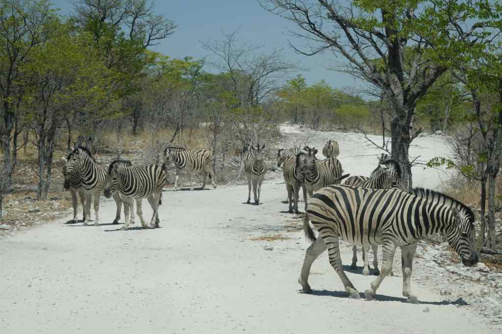
This morning I was less lucky with my game spotting. I tried a track called “Eland Drive”, since I had yet to see the eland, Africa’s biggest antelope. At first, there was no sign of any animals – just lots of unusually green trees, which contrasted with the dry scrub that makes most of the park. I found it surprising that animals seemed to be avoiding this cooler area with lots of edible vegetation- maybe predators were hiding somewhere, out of my sight. After an hour’s driving I finally ran into some zebra and springbok, and as I progressed, they became more and more numerous. I also glimpsed a red hartebeest….but no elands.
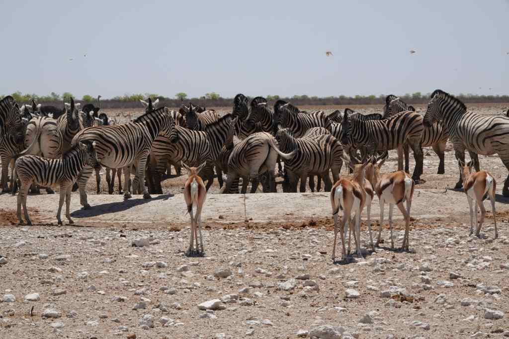
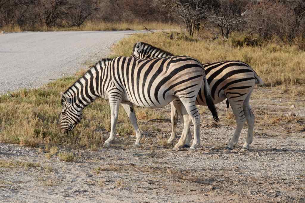
Zebra blocking the route at Etosha
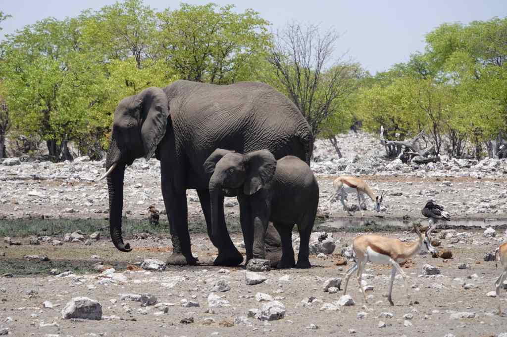
After the slight disappointment of Eland Drive, I reverted to the usual strategy of visiting waterholes. In the midday sun, these were dominated by elephants, who drank and sprayed their bodies with water to keep cool. At my first waterhole, there was a family group with a couple of babies.
Mummy and Baby Elephant at an Etosha waterhole
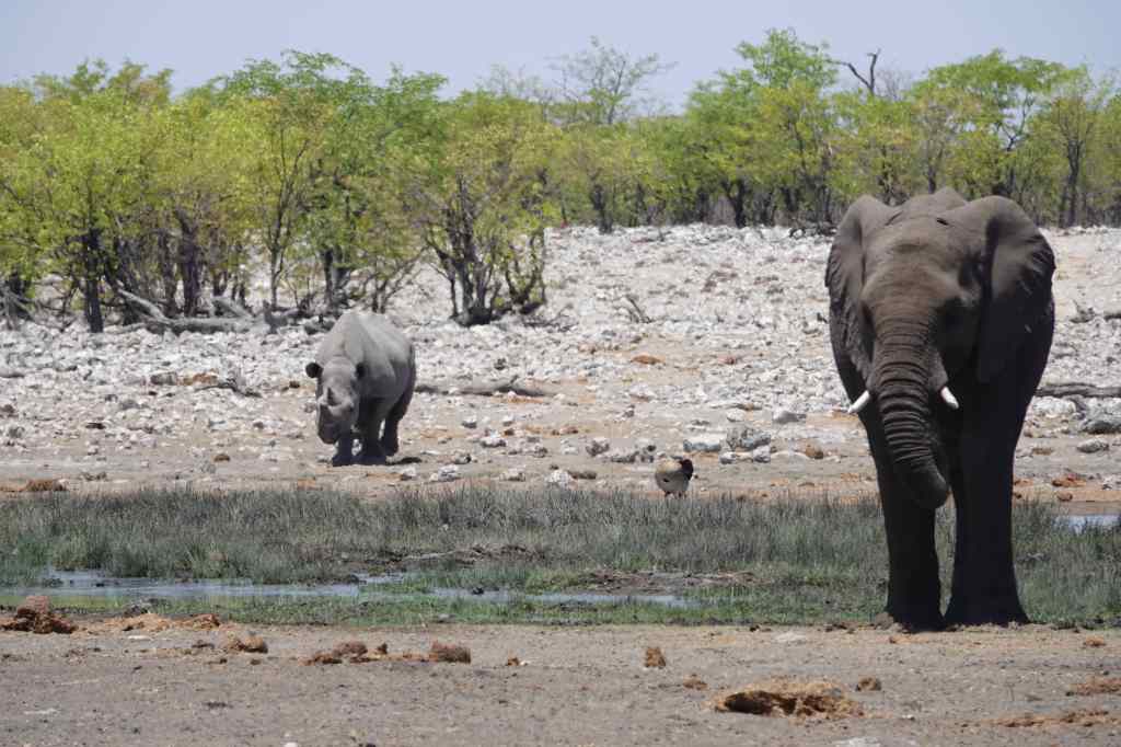
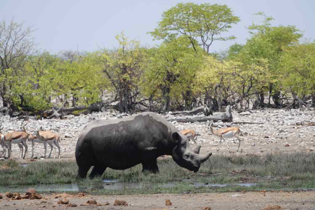
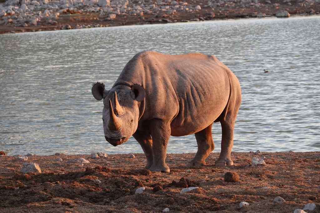
After a few minutes a rhino joined the group. Etosha has white and black rhinos. Confusingly, they are both the same grey colour and the main difference between them is the shape of their lip. This one had a pointed lip, so was probably a black rhino.
A black rhino joins the group….….and changes colour after rolling in the mud.
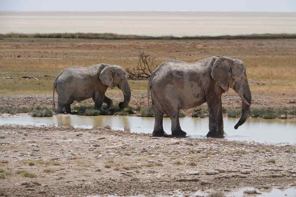
The next two watering holes I visited also featured elephants. At the first, two of them were washing and drinking.
More elephants at Etosha….
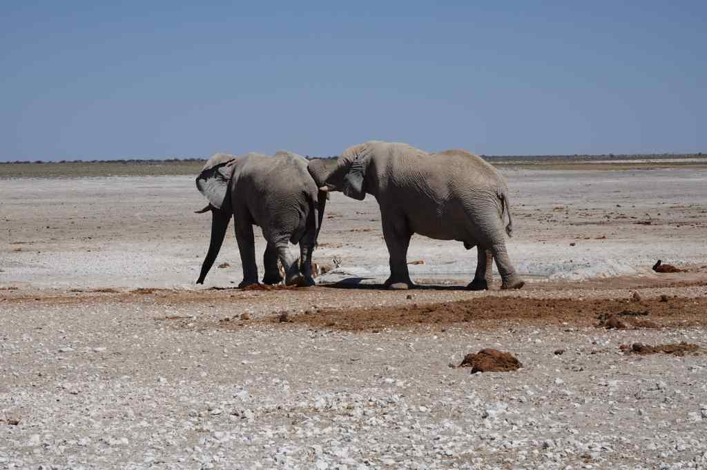
At the second, a couple appeared to express affection to each other with their trunks.
….yet more elephants
I finally arrived at Okaukuejo, a government-owned camp near Etosha’s main entrance. It is famous for having a large watering hole just outside the camp, which is lit up during the night and frequently visited by lions, elephants and rhino. After checking in, I went straight there and found a viewing platform and lots of other guests with cameras and binoculars……but no animals. So instead, I headed off to the swimming pool to spend the hottest hours of the afternoon – like the elephants I had seen earlier!
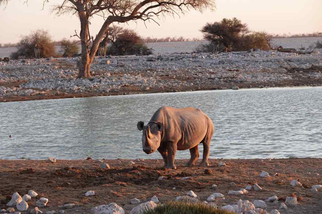
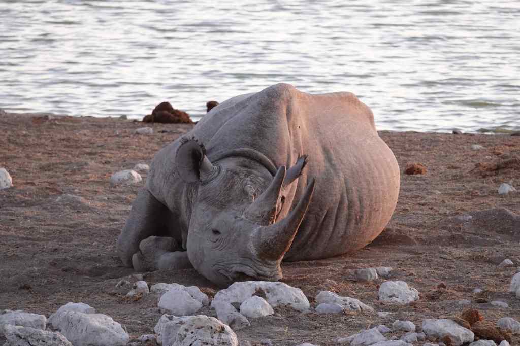
At six, as the sun was setting, I returned to the Okaukeujo waterhole to find an elephant, giraffe and magnificent black rhino. The latter approached the viewing platform, watched the crowd of humans for a while, and then lay down on the ground to snooze. It was an amazing sight, and I was a little puzzled as to why the waterhole viewing area was not overflowing with fellow tourists and their cameras.
The rhino stares at us………and then sits down to sleep.
With this thought in my mind, I headed off to dinner. It was a chaotic affair. The waitress told me that I had booked table 32, but after half an hour of waiting there, a group of German ladies arrived to claim my place. They went to fetch the reservation list which showed that I should have been on table 25. In any case, the choice of table made little difference since the waitresses were all busy serving in a different part of the restaurant and completely ignored us all. I realised that if I sat there patiently, I would wait forever, so I collared the person who seemed to be the drinks waitress and ordered steak and a beer. After another long wait, the steak arrived – tasty and tender, but cold – without the beer. To get this, I had to accompany my waitress to the bar and stand there reminding her of my order, as she was accosted by a stream of other complaining customers. A simple dinner of steak and a beer took ninety minutes, even thought my persistence meant that I was one of the first to be served. After finishing my beer, I hurried back to the waterhole but found it quiet – the elephant had left, and the rhino was still asleep on the ground. I suddenly realised why the waterhole was not overcrowded with fellow guests – many of them were stuck in the restaurant, still waiting for their dinner. With nothing new to see, I headed back to my hut for an early bedtime, resolving to try my luck again if I woke up during the night.
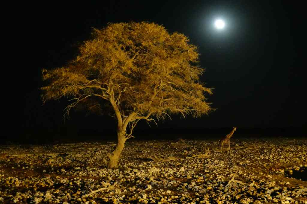
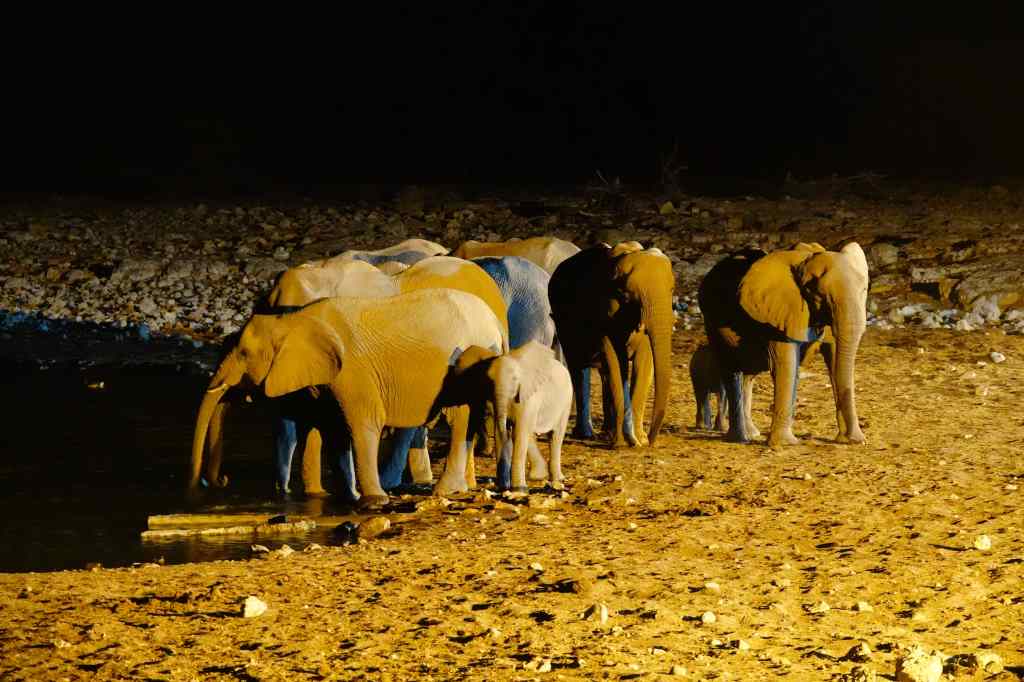
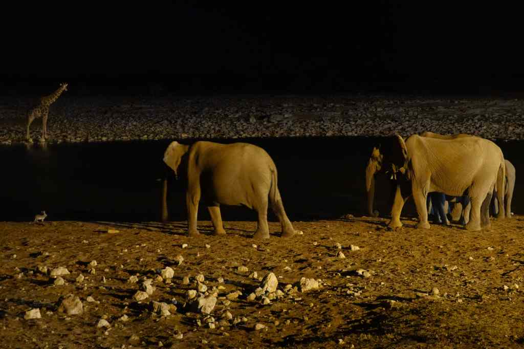
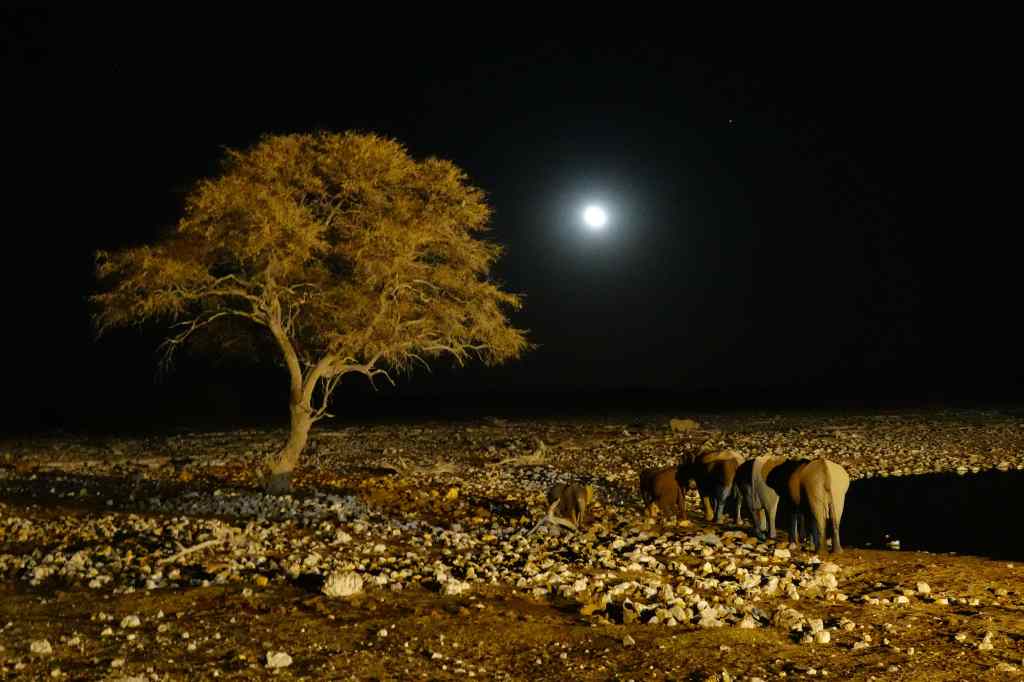
I returned to the waterhole at 2am to find a wonderful sight – a herd of elephant, including several babies, drinking quietly in the moonlight. I stayed for a half an hour, watching the elephants, a cautious giraffe, and finally a tiny scrub hare – not much bigger than me – taking its place to drink alongside the massive elephants.
2am at the Okaukeujo waterhole, EtoshaA giraffe approaches the Okaukeujo waterholeThe elephants continue to drinkA tiny scrub hare (left) joins the elephants
Finally, the herd of elephants headed off into the night, and I decided to do the same. It had been a memorable day, and I went back to my hut to sleep for the rest of the night.
The elephant family leaves Okaukeujo waterhole and heads off into the night
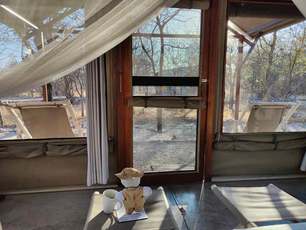
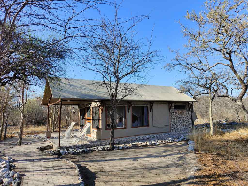
The following morning I was woken up by birds chattering in the bush outside. I opened up the flaps of my tent and sat in bed enjoying the morning air with a cup of coffee. The tent was flooded with light from all sides, and it felt like I was sitting in the open air in the middle of the bush.
The morning light flooding through my room at EtoshaThe room is part hut, part tent, with canvas sides
After breakfast I set off again to the park. There are two ways to visit Etosha – one is in your own car, making your own itinerary, and one on an organised “game drive” in a truck with other tourists and a guide. The organised tour offers better chances to see animals, since the guides know where to look and communicate their sightings to other guides by phone. But having invested in a big 4×4 I wanted to keep my independence and drive myself. Serious visitors enter the park at its 06.30 opening time to have the best chances of spotting the less easily seen game – particularly the big cats. After my three days of travelling I did not have the energy for another early start and reached the park at around 9, when some of the organised groups were already returning.
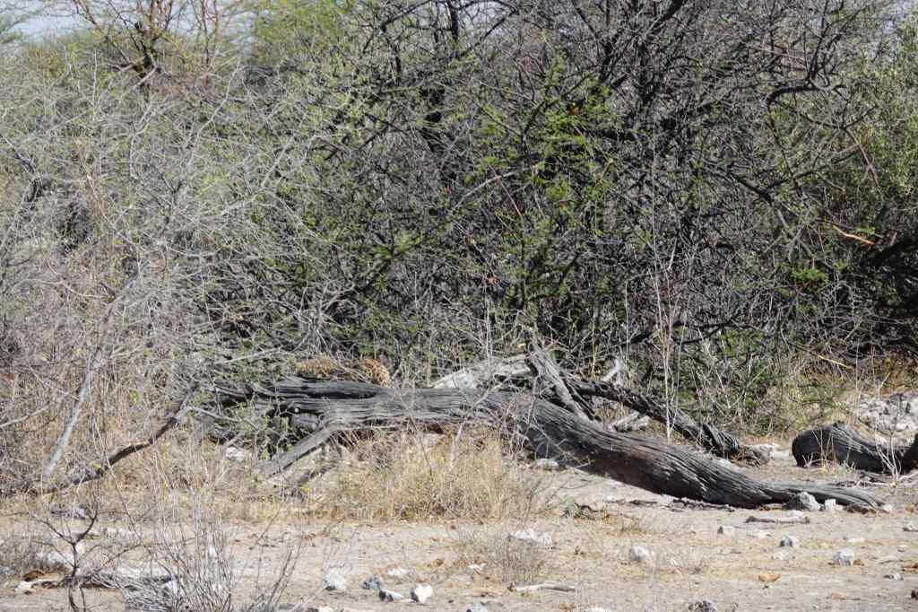
Despite my late start I was very lucky. First I spotted – very briefly – a leopard, one of the most elusive animals in Etosha National Park, but I was a little too slow to get a really good photo.
Leopard (disappearing behind the tree trunk)
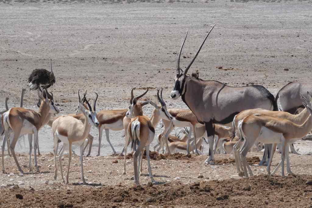
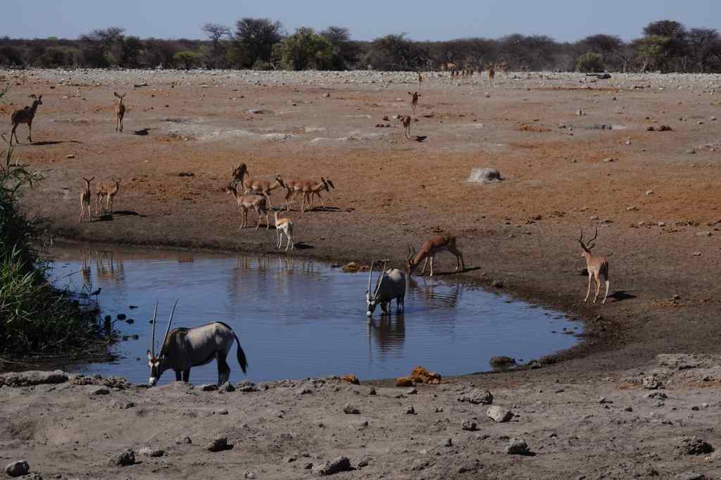
October was the end of the dry season in Etosha, and the once abundant water brought by the rains had reduced to a few waterholes where the game comes to drink. This makes for the best time for spotting wildlife. My first visit to a waterhole did not disappoint; a group of oryx and springboks were drinking, soon to be followed by zebra and some kudu.
Etosha – Oryx and Impala at the water hole
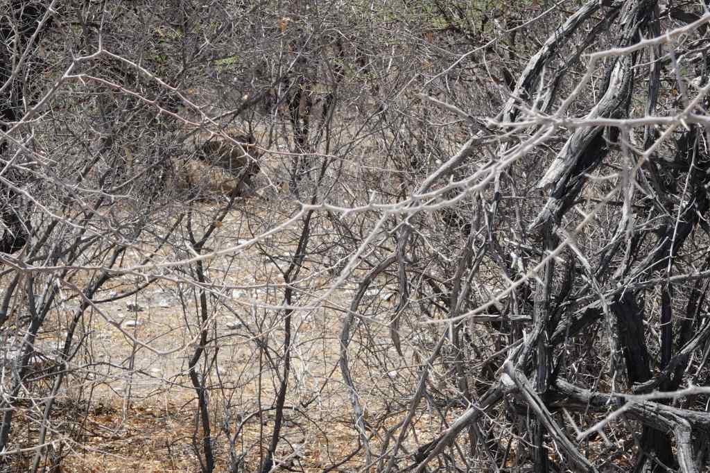
On my way to the next waterhole, I had a stroke of luck and noticed a lion, sheltering from the late morning sun under a bush. Sadly my lack of mastery of my new camera caused me to mess up my photo.
Lion hiding from the sun (top left)
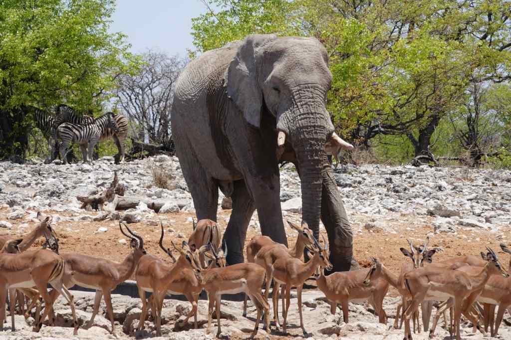
The final waterhole of my morning visit was home to a small group of elephants, who had come to drink and cool off by spraying themselves with water. Elephants seemed very common at Etosha.
Elephant and Impala at a waterhole, Etosha
Watching the giraffes drink was the most interesting. They would approach very slowly, then look around for several minutes. Then they would slowly splay their legs and lower their necks to drink. I suppose that their caution is because they is only ever vulnerable to predators in this rather awkward drinking position.
Etosha – a giraffe drinking
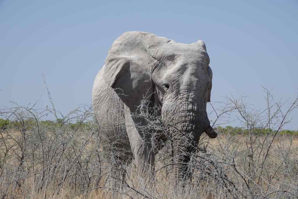
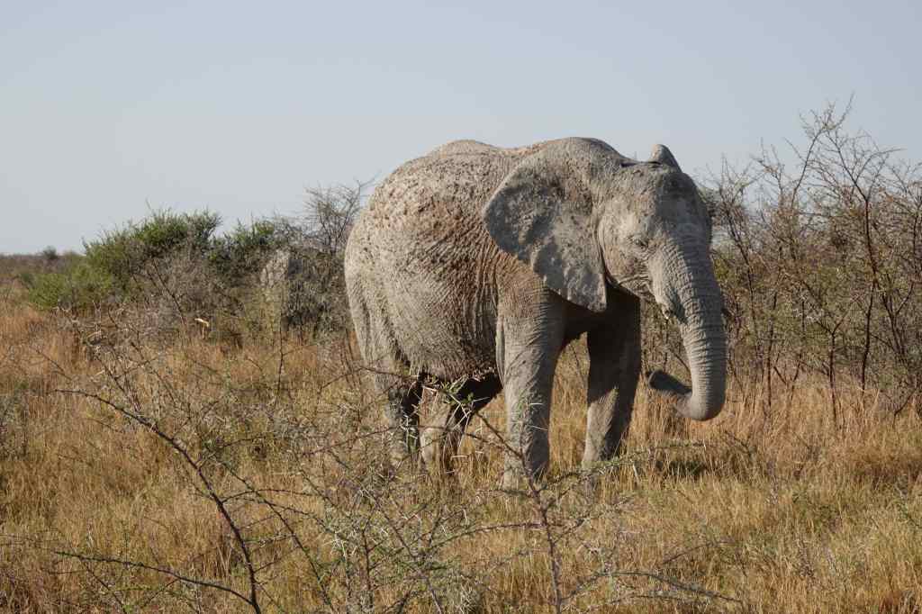
It was now one o’clock, and the hottest part of the day had arrived. This meant that animal sightings would be much harder, so I drove back to my lodge to relax by the pool. At 4pm I set off again for my evening “game drive”. I visited a couple of waterholes without luck, before setting off along a remote track. At first the landscape was empty and dry, and I began to regret my choice of route. But then I bumped into an old, grey wrinkled elephant just standing by the side of the track. He looked a bit crumbly, and like many elephants in Etosha National Park, had broken tusks (apparently a lack of minerals means that few Etosha elephants have big healthy tusks).
A solitary old elephant
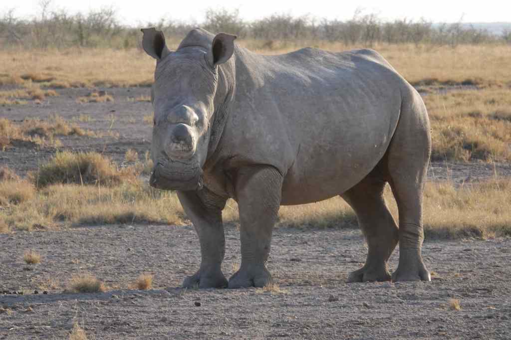
The old elephant, isolated and maybe rejected by his herd, made me feel rather sad, but transformed my feeling about my drive, which became a big adventure. I drove off onto a flat plain. In the distance, I could see the silhouettes of other lumbering elephants and tall giraffes; occasionally the track would bring me face to face with one. I’d stop to let the giraffes run away, but slow down and pass the elephants carefully – my guidebook had a whole page devoted to what you should do if an elephant charges your vehicle. I felt that I had landed on another planet, or gone back to some prehistoric time on earth, before the rise of man. I was enjoying the feeling of total detachment from the modern world when I stumbled upon the highlight of the afternoon – a rare white rhino. I stopped and we looked at each other with curiosity, whilst I took more photos.
Face to face with a white Rhino at Etosha
I noticed the sun was sinking on the horizon, so looked at my watch and checked the map. I was a long way from the entrance and I had an hour to reach the gate before it closed. I hurried off, initially pursued by the rhino. I raced the sun as it dipped down to the horizon and cast long shadows of trees over the plain and the road. I didn’t want to have to find out what happened to people that got stuck in Etosha after closing time, and made it there exactly at the 19.02, to be the very last vehicle to leave. As I drove off I heard a guard say “Right, home now!” to her colleague.
Back at my camp, I had another excellent dinner (fish this time – how did they get it here, so far inland?) and then collapsed into the bed in my tent, very happy with day’s game spotting. Out of all of the larger animals at Etosha, I had been lucky enough to see everything except the eland (Africa’s largest antelope) and the cheetah.
Well, I hope the black rhino got your attention. The vagabond teddy bear is back on the road, this time in Namibia in Africa. Actually, I have been away for over a week already, but limited access to Wi-Fi means that I will be writing my blog with several days’ delay. My trip to Windhoek, the capital of Namibia took the best part of two days as I flew with overnights in Amsterdam and Cape Town, to where I will return for a few days at the end of the trip. My overnight in Cape Town was very pleasant; I sped through immigration and baggage collection and got a shuttle to the city’s only airport hotel. The next morning, I returned to the airport for the two hour flight to Windhoek, and had the chance to meet a fellow celebrity.
Big Man and Little Bear at Cape Town Airport
My arrival at Windhoek went much less smoothly. My flight arrived just after a huge A380, and getting through immigration, buying a sim card, and collecting my car took three hours. The hire car company made me watch a safety video, which explained that the accident rate in Namibia is 50x higher than in Europe and showed how to drive safely on Namibia’s many gravel roads. Two immaculately dressed men in suits then demonstrated how to change a car tyre – something that many tourists will need to do.
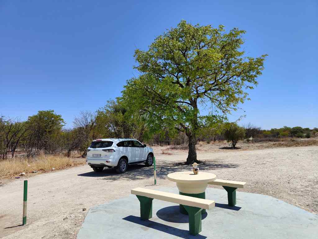
I spent the night in a small guest house in Windhoek, and had dinner in a local restaurant, finding that the steaks were good and the wine cheap – always a good start for a holiday. The next morning, I set off on the long drive north to Etosha National Park. The road was straight, asphalted, and monotonous, with one lane each way. On this type of road, the speed limit is a generous 120km/h (75m/h) and I covered the 520 km in about 6 hours including breaks. Every 10km or so the road had a rest area consisting of a table, chairs and a waste bin located under a shady tree – except for the tree, each one is identical to all the others all through Namibia.
On the Road from Windhoek to Etosha in Namibia
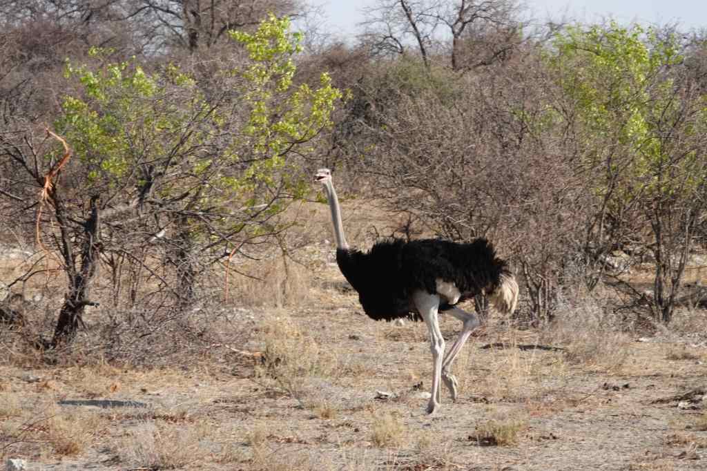
I finally arrived at 4pm at the Mushara Bush Camp, a lodge located just outside of the park. Eager to finally see something interesting after nearly three full days travelling and overnighting, I dumped my bags in my rather stylish tent, and set off to the park gate in my car, where I paid my entrance fee and bought a guidebook which had a map and several pages of drawings of the reserve’s animals. As soon as I had driven inside, a new world opened up. Antelope and giraffes stood nonchalantly by the side of the road (or sometimes in the road), as the bush began to come back to life after the heat of the midday sun. Like most newly arrived visitors, I spent a lot of time photographing giraffes, springboks and zebras – animals so common that after a couple of days I barely noticed them anymore.
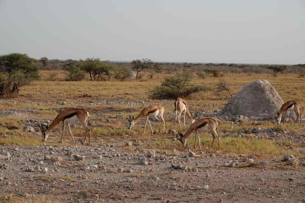
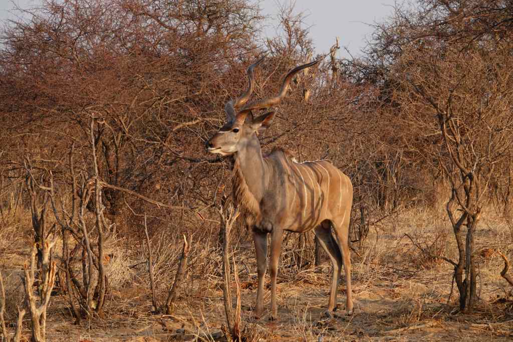
Giraffe at EtoshaZebraThe Ubiquitous SpringbokA Kudu
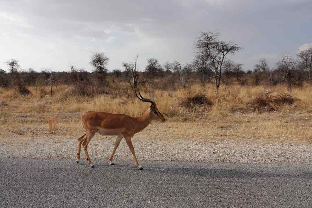
The concentration of wildlife, so close to the road, was amazing. Although I thought I was snapping common animals, when I got home and checked my photos against the park’s guide, I realised I had also spotted the rare black-faced impala.
The Black-Faced Impala, once rare but now common at Etosha
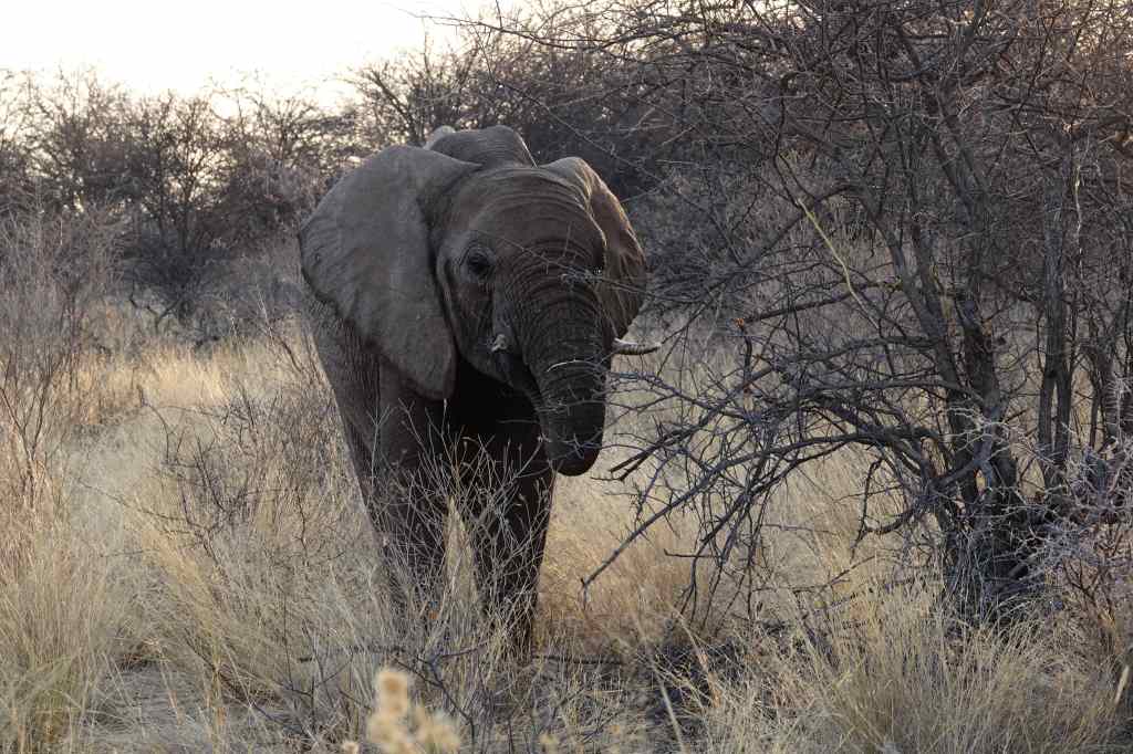
I spent a couple of pleasant hours driving around and trying out the settings on my complicated new camera. I was pleased that towards the end of my visit, I bumped into this elephant.
My First Elephant at Etosha
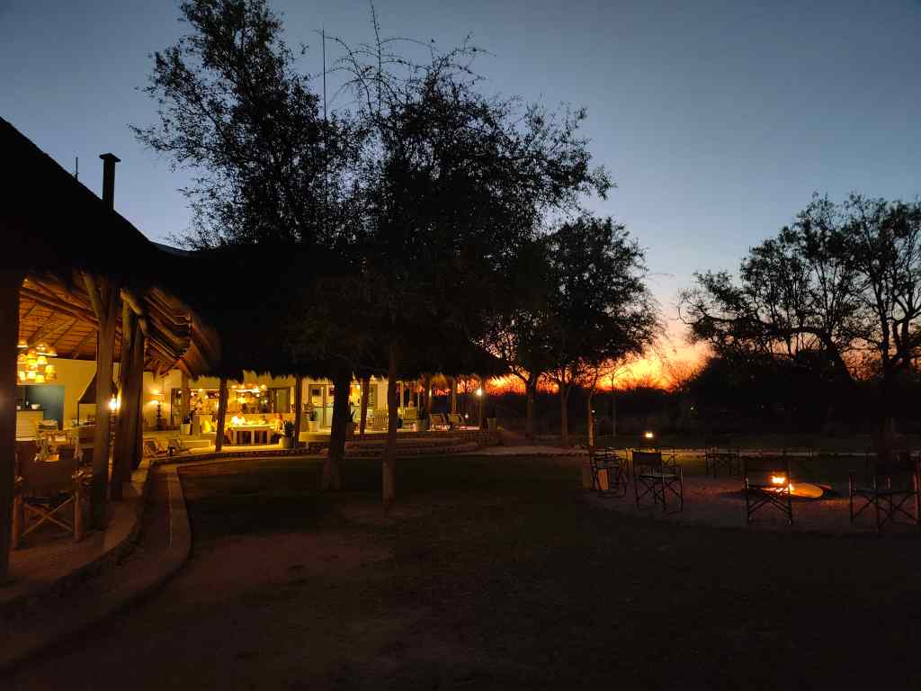
The sun sank slowly, bathing the bush in an orange light and reminding me that I had to be back in time for the park gate closure at the very precise time of 19.02. Back at my bush camp I enjoyed a drink beside the campfire, with the background of a still dark red sky.
Mushara Bush Camp at Dusk
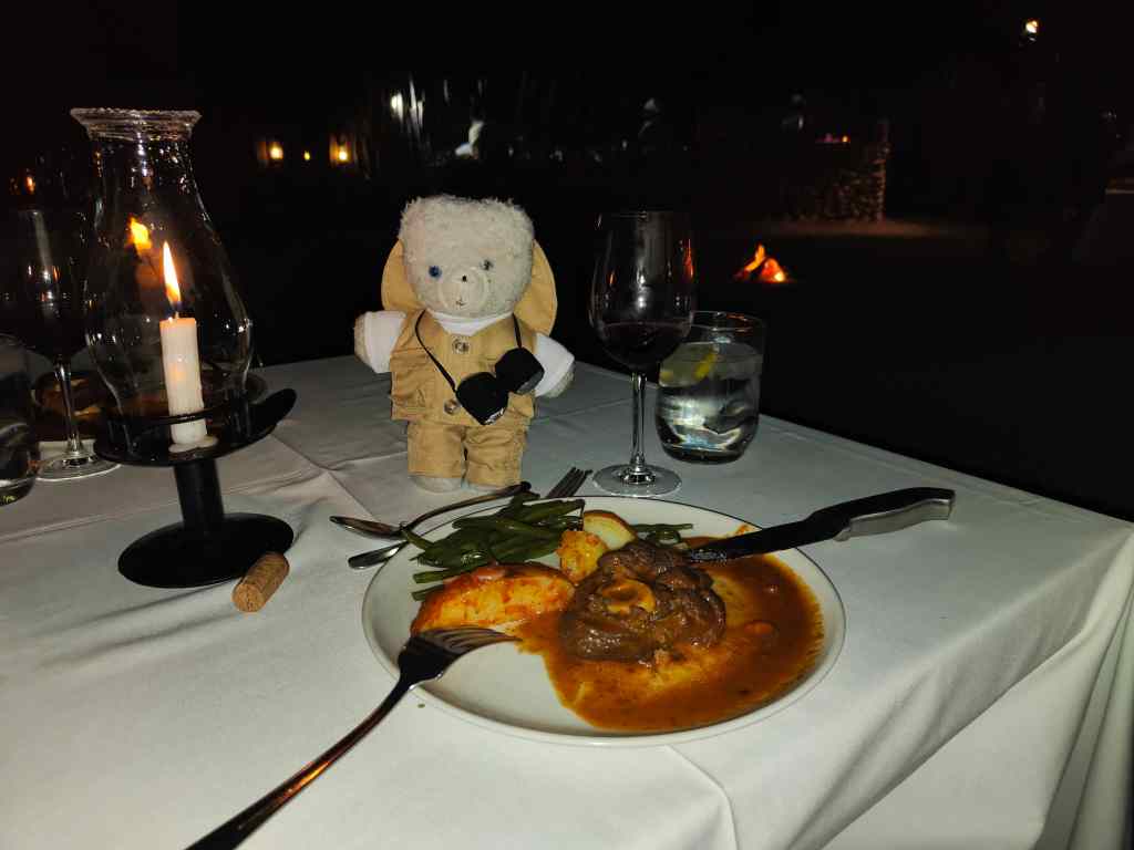
Dinner was excellent – kudu stew and impala steak (presumably not a black-faced impala).
Excellent Food and Wine
Then I settled down to try to watch the rugby world cup semifinal between England and South Africa, whose team is nicknamed the springboks. The lodge had no television, and I rapidly understood that the camp’s Wi-Fi would never cope with video. It even struggled with text updates, so I spent an anxious couple of hours continually hitting the “refresh” button on my browser to see England build a healthy lead, only to concede a late penalty and lose 15-16 in the dying minutes.
Trying to follow England vs South Africa by text update
Disappointed, I headed to my car to pick up a bottle of water for the night…..only to run in to a small group of springboks. Out of all the animals living in Namibia, it was the one I least wanted to see at that moment.
After my harrowing visit to Auschwitz, I returned to Krakow for a couple of days at the end of my trip. The weather had become cloudy, but I still enjoyed visiting the old town again.
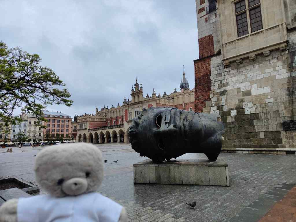
The modern statue of “Eros Unbound” in Krakow’s main square
I visited a few of Krakow’s indoor attractions, such as the Czartoryski Museum, which houses an eclectic collection of paintings, military artifacts and sculptures. The highlight of the museum is the famous picture “Lady with an Ermine” by da Vinci. It is a beautiful painting, but my enjoyment was a bit spoilt by the constant stream of tourists taking pictures. I decided that if you cannot beat them, join them, and took my own snap.
The Lady with an Ermine by da Vinci, Czartoryski Museum
My next indoor attraction was the Pharmacy Museum, housed in a pretty old house. It was an atmospheric place, with bottles of strange drugs and herbs everywhere. It also had a few unexpected hazards for small teddies like me.
Unexpected hazard in the Pharmacy Museum, Krakow
In the afternoon I visited the famous UNESCO listed salt mine at Wieliczka, a short taxi ride to the south of Krakow. Salt has been produced at this site since neolithic times, when people took brine from salty springs and evaporated the water in the sun. In the 13th century, salt rocks were found under the ground and mining developed rapidly. Under King Casimir the Great in the 14th century, revenues from salt were thought to make up a third of the country’s budget.
Over the centuries that followed, the mine developed to comprise 9 levels, the last one 327 metres below ground, and 245 km of passageways. Production of salt stopped in 1996, and the mine now operates as a tourist attraction, welcoming two million visitors per year. I arrived to find tourist visits were organised with an almost industrial efficiency. Groups of up to thirty people assemble at reception at the surface and are led down into the mine by a guide for the two-to-three-hour tour. A new tour sets off every ten minutes.
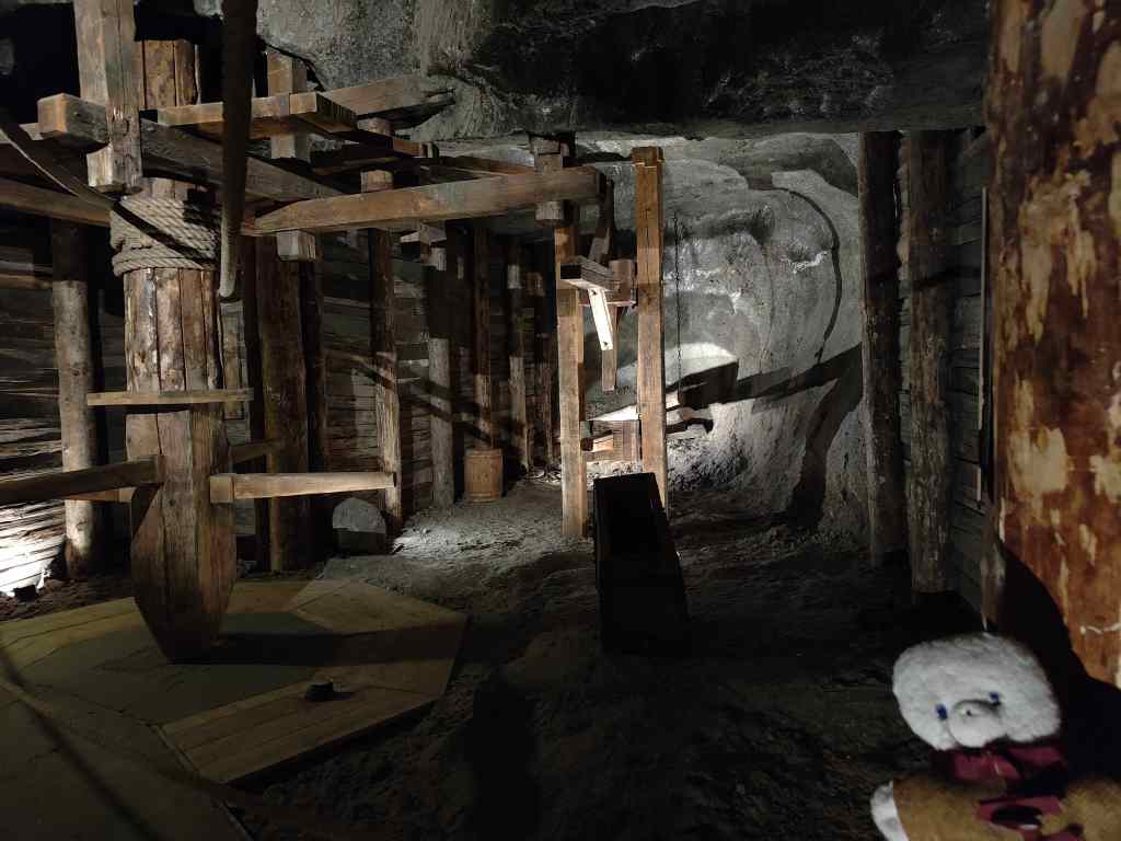
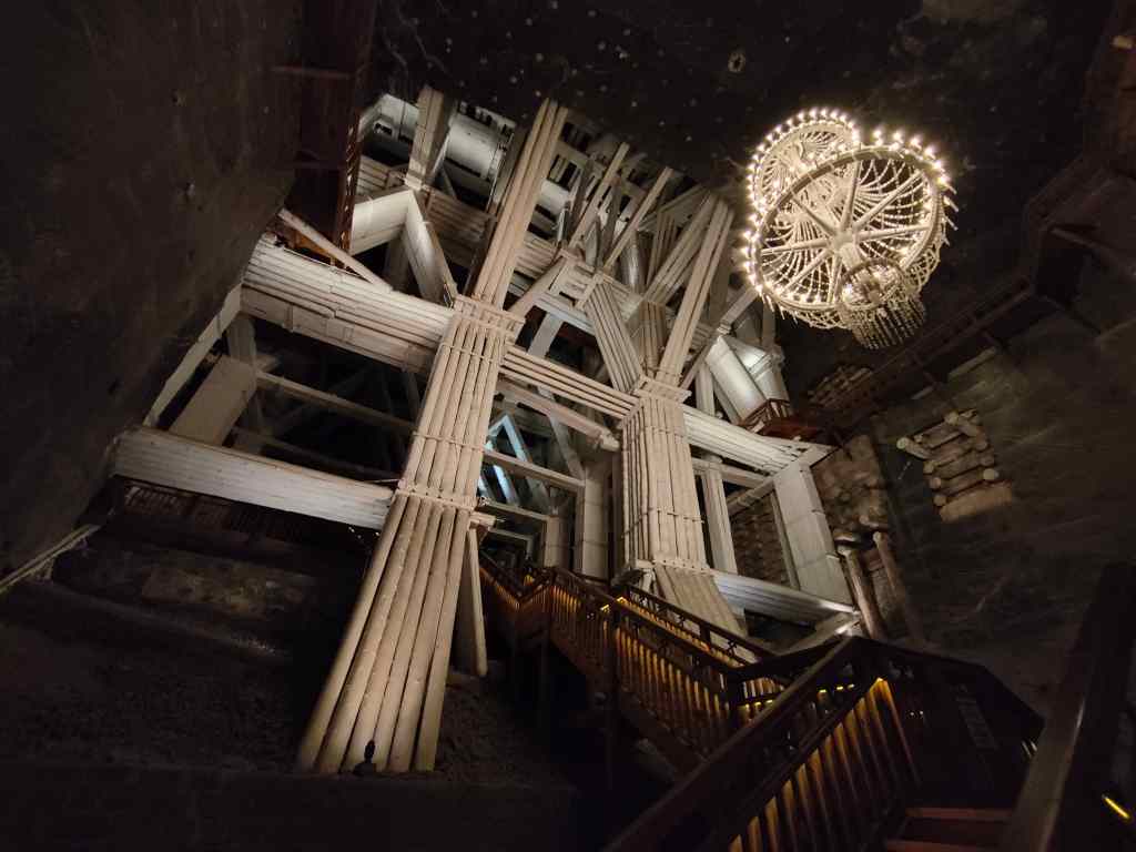
The route for visitors includes only around 2% of the total length of the mine’s galleries, reaching the fourth level underground. It was quite chilly in the mine, and I was grateful of my fur to keep me warm. We passed old mining equipment, salt lakes and huge chambers carved out by the miners.
Mine equipment, Wieliczka
Highlight of the mine is an St Kinga’s chapel, a church, carved out of the salt rock, with many statues and bas-reliefs carved out of salt. The chapel is an active place of workshop, but only miners and their families are allowed to attend services there.
St Kinga’s chapel, Wieliczka salt mineThe altar – all the carving is from salt, and done by the minersAn exquisite bas-relief in St Kinga’s chapel
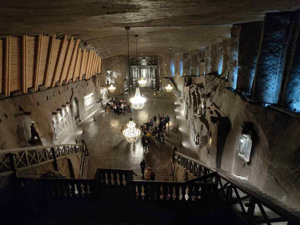
Visitors have been coming to see the mine since the 16th century, and a large underground concert hall was created where they would listen to music.
The concert hall, Wieliczka
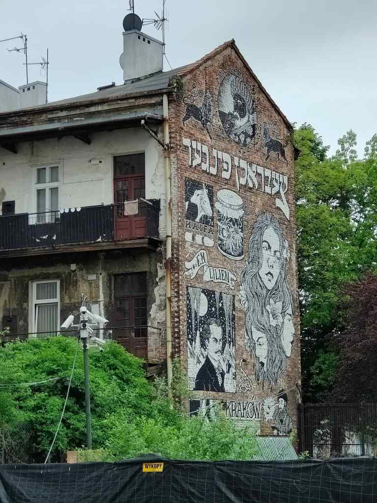
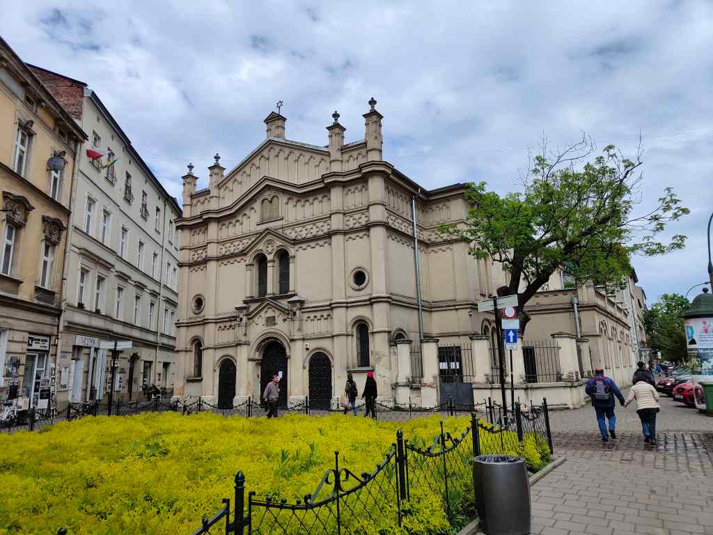
I found the mine very interesting, but was a little puzzled that it was, apparently, Poland’s most visited tourist attraction. Back at the surface, I warmed myself in the early evening sun before heading back to Krakow, where I explored the Jewish part of the city in a suburb called Kazimierz. During the second world war, this area was where the Jews were forced to live in a walled-off separate ghetto, before they were transported to concentration and then extermination camps. After the war only 3% of Poland’s Jewish population remained, but the few survivors have managed to recreate some of the character of Kazimierz, with many Jewish restaurants and a few remaining synagogues.
Mural in KazimierzOne of the surviving synagogues in Kazimierz
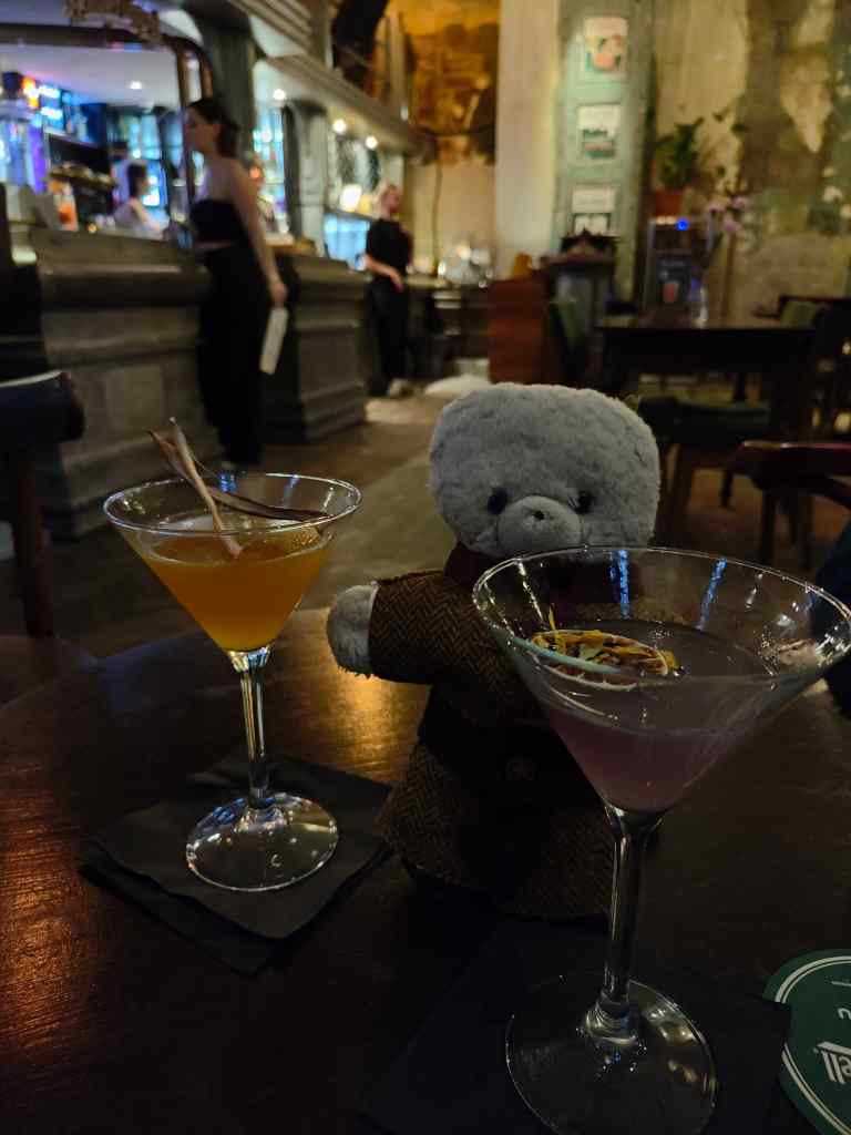
Kazimierz is also a great nightlife area, with countless cocktail bars. I spent my last night in Poland enjoying a pub crawl from one bar to the other, enjoying some excellent – and amazingly cheap – drinks.
Kazimierz night life – Last night in Poland!
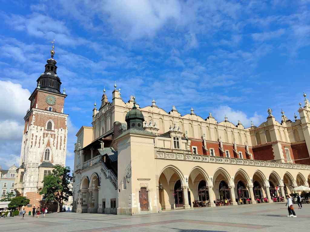
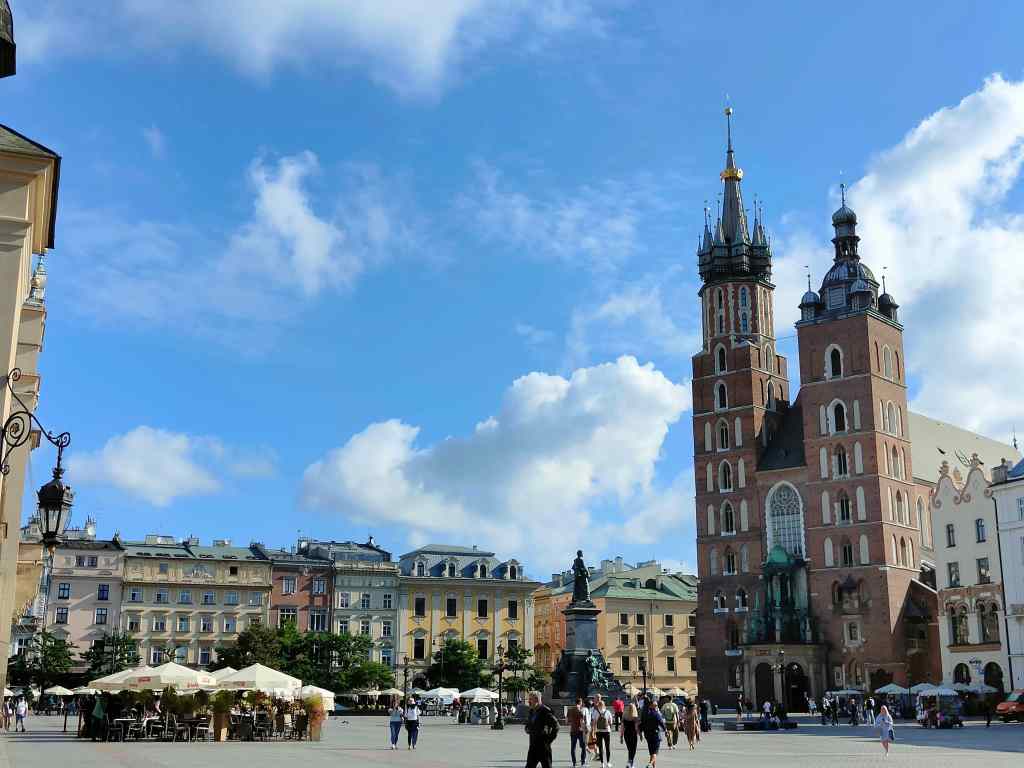
On my last morning in Krakow, before my flight back home, the sun had returned and I headed straight to the main square for some last photos and to have a cup of coffee in one of the cafés.
Last visit to the main square, Krakow
It was a good way to say goodbye to Poland, a country I had really enjoyed, with the wonderful city of Krakow and some great hiking in the nearby mountains. It is such a good value destination, and so easy to get here from London, that I think I will be back!
Today my exploration of Poland took a completely different turn, as I went back to a particularly dark chapter of the country’s past. I drove about 3 hours northwest, to the former death camp of Auschwitz.
Before describing my visit it is worth covering a bit of Poland’s troubled history. In the middle ages, Poland was a typical European country, increasing or decreasing in size as different kings succeeded or failed in battle or diplomacy. In the 18th century it came under increasing influence from its powerful neighbours, Russia, Austria and Prussia. The three powers twice agreed to allocate large tracts of Polish land to themselves, greatly reducing the size of the Polish state, and then finally in 1797 split up Poland’s remaining territory. Poland ceased to exist as a separate country until the end of the first world war, but its independence was short-lived. Russia and Germany again agreed to partition the unfortunate country, with Germany’s invasion triggering the second world war.
The Nazis and Soviets set about trying to eradicate any separate Polish identity, by murdering thousands of intellectual and political leaders. Even worse was to follow this brutal campaign; at the start of the war Poland had a relatively large Jewish population, which the Nazis set out to eliminate. First, Jews were forced to live in cramped ghettos inside Polish cities; next they were transported to concentration camps, where they were forced to work. Finally, the Nazis built five death camps for the total extermination of the Jewish population of Europe by cyanide gas.
Auschwitz was the first such camp and the only one where much remains to be seen. This is because the Nazis tried to destroy all evidence of their extermination of the Jews before the advancing Red Army liberated the camps in 1945. The four other camps served only as death camps and were completely destroyed. Auschwitz also served as a concentration camp, and although the Nazis destroyed the gas chambers there, much of the rest was left intact. The Polish established it as a museum, so that the memory of the holocaust would not be lost.
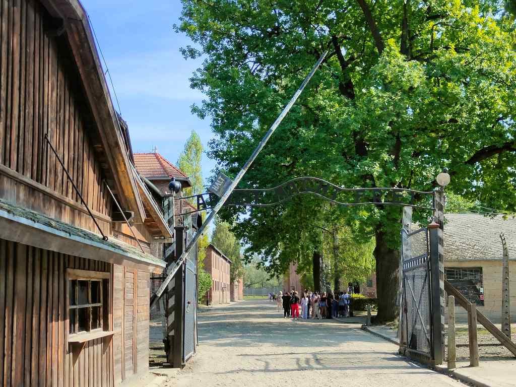
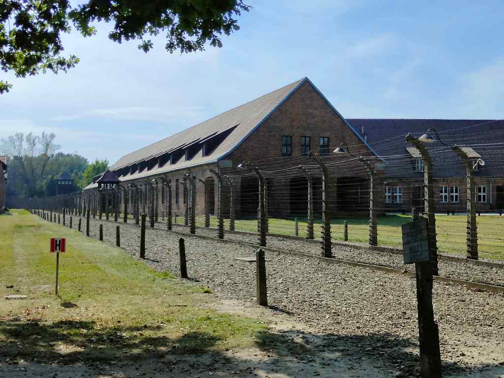
My drive to get there was uneventful and passed through some pretty villages and fields. Nothing in this sleepy part of southern Poland could hint at the scale of death and suffering inflicted on over a million people that arrived at Auschwitz. I parked my car, found the guide I had booked a few weeks before my visit, and together we set off to visit the first part of the complex, Auschwitz 1. The buildings there were surprisingly neat and tidy – before the German invasion, they had served as barracks for the Polish Army, and initially it was used mostly as a POW camp for Polish and Russian war prisoners. We passed through the famous gate, with its ironic inscription “Arbeit march Frei” (Works makes you free).
The famous entrance to AuschwitzNeat buildings at Auschwitz 1
Inside Auschwitz 1, many of the buildings had been devoted to a museum covering the incredibly tough life in the concentration camp part of Auschwitz, and then horrors of Auschwitz 2’s gas chambers. Moving exhibits included hundreds of shoes and discarded suitcases from victims of the gassing, and discarded cans of the Zyklon B poison used to kill people. Most moving off all was an exhibit of tons of human hair. The Nazis even shaved the hair from the dead to use as a textile material.
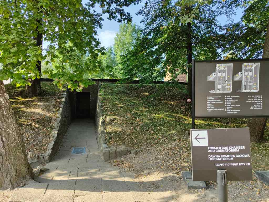
The very first Nazi gas chamber, Auschwitz
Auschwitz 1 was where the very first gas chamber was located. It was a small underground building where the Nazis experimented using cyanide gas to kill Polish and Russian prisoners. Once they had perfected the method, they built a large extension to the camp, Auschwitz 2 – Birkenhau with two much larger gas chambers.
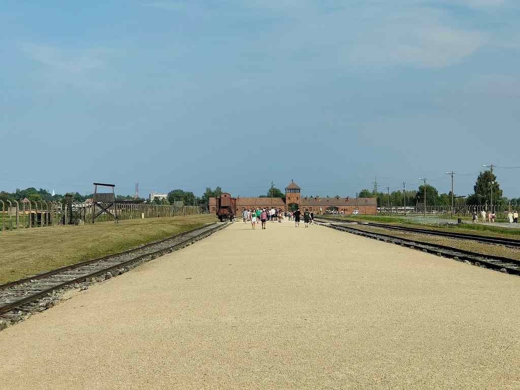
Auschwitz 2 – Birkenhau
We took a shuttle bus to get to Birkenhau to find an efficiently laid-out flat site. Two railtracks arrived right inside the camp. Trains arrived and disgorged future victims, each carrying the one case of luggage they had been allowed to take on the trip. The arrivals were inspected, and around one in twenty was selected for forced labour and taken to nearby barracks (now mostly destroyed). The remainder were told to leave their luggage, and that they would go for a shower. They were led away to the gas chambers where they were murdered. Their bodies were inspected for anything useful – gold teeth, hair – and then incinerated. For most arrivals, the time they spent alive at the camp was about the same as the time of my three-hour visit. Those that were selected for forced labour usually fared little better – most only survived a few months, and died of cold, starvation, beatings or medical experiments.
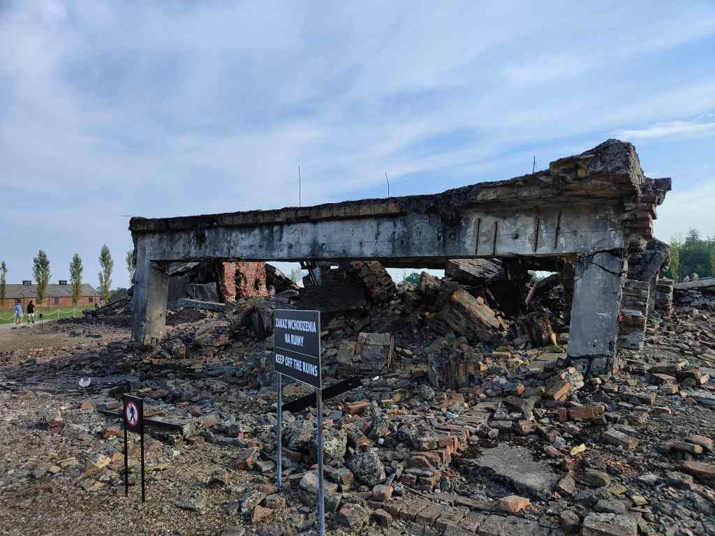
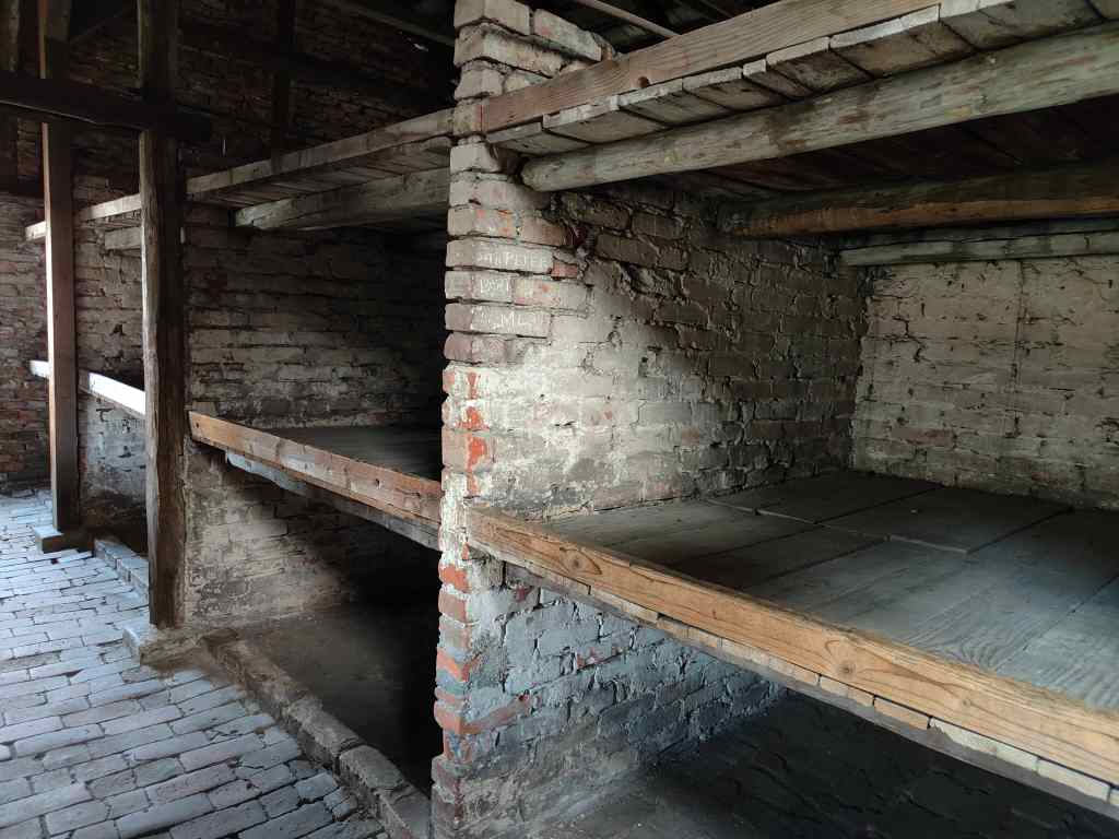
A gas chamber in ruins, Auschwitz-BirkenhauA spartan accommodation block for women, Auschwitz-Birkenhau
Today, Birkenhau has a few remaining accommodation blocks for those selected for forced labour and the ruins of two gas chambers. It also has a memorial to the victims. 1.3 million people arrived at Auschwitz, of which 1.1 million were killed. Most were Jews from around Europe, but there were also non-Jewish Polish victims, Roma, and Soviet prisoners of war.
On a hot sunny day in September, it was hard to imagine the scale of the killings on the site. I was expecting that the extinguishing of so many lives would leave some imprint on the fabric of space and time, but although the visit was deeply disturbing, I could not feel anything supernatural – it was simply a flat, hot piece of land with a few buildings on it. It was as if the Nazis had efficiently deleted not just the bodies but the spirits of all these people from time itself and that they had never existed. The Nazis only bothered to record the names of those few arrivals selected for forced labour – the others were simply killed. The only evidence of these people’s brief presence at Auschwitz was the suitcase they had brought and had been made to leave whilst they were led to their deaths. Many of these cases carried a name, so my last photo for today is in memory of Alice Frankel, whose case is one of those on display in the museum. Who was she? Was she young or old? Did she know what was going to happen to her? We will never know.




















 Trouspinet travels