A long and difficult day

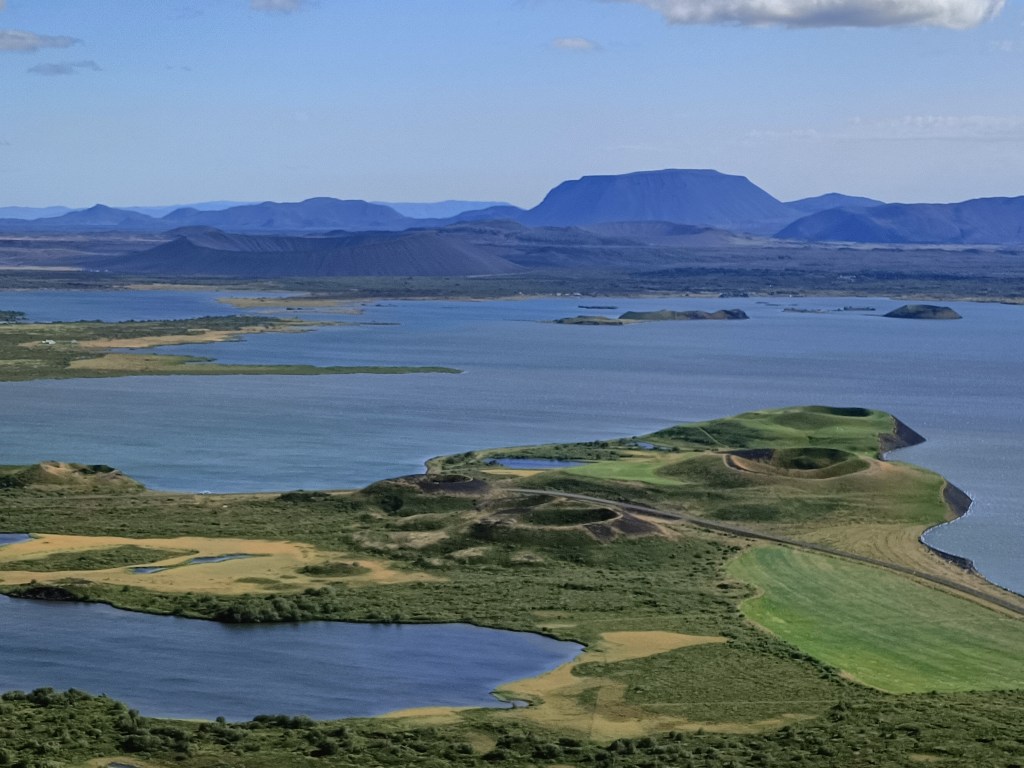
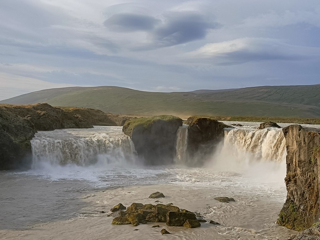
Today I faced a long drive from Myvatn, roughly half way along Iceland’s north coast, to Holmavik at the entrance to the western fjords.  My map said I could drive the 500km in six and half hours, but based on past experience I knew that it would take much longer after stops were added on, so I set off early.  First stop was another of Iceland’s famous waterfalls, the Godafoss or “waterfall of the gods”.  Helpfully it is located right on Route 1.

The Godafoss – yet another impressive waterfall

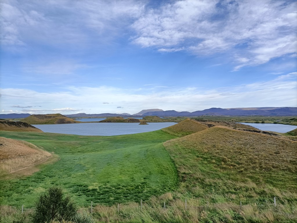
My next stop was for petrol at the teeming metropolis of Akueyri, which is Iceland’s second biggest city… with a population of only 18,191 (according to Wikipedia).  It is supposed to be an interesting place but I didn’t have time to stop. After Akueyri I opted for the long scenic detour of the Trollaskagri peninsula, which follows the coast, rather than the more direct Route 1, which stays inland.  Indeed the views were quite pretty, if not exceptional by Iceland standards. 

Pastoral green scenery at the east side of the Trollaskagri Peninsula
Forbidding mountains in the overland road in the centre of the peninsula

As noon approached, I really fancied a coffee and looked in vain for somewhere to stop.  Lonely planet recommended a couple of places but they were both closed (in the peak of the tourist season….).  “Surely there will be somewhere in the next town” I kept on telling myself………but each settlement was a tiny windswept village, often without any shops at all. The weather changed, and it became overcast, with rain showers.  My mood dropped. Finally at a place Hosfos I found a petrol station with a big shop attached…..and a café!  However, their only coffee come not form a machine but a large thermos flask that had been filled with cheap filter coffee, which had been brewed long ago.  I paid for a coffee and was given a paper cup to fill myself from the flask. Undrinkable. I searched on google for cafés near my location. The only place indicated within 100km was in an unlikely place – the tiny village of Holar, about 10km off the main road. Remembering that Holar (but not its café) was also mentioned in Lonely Planet, I decided to give it a go.

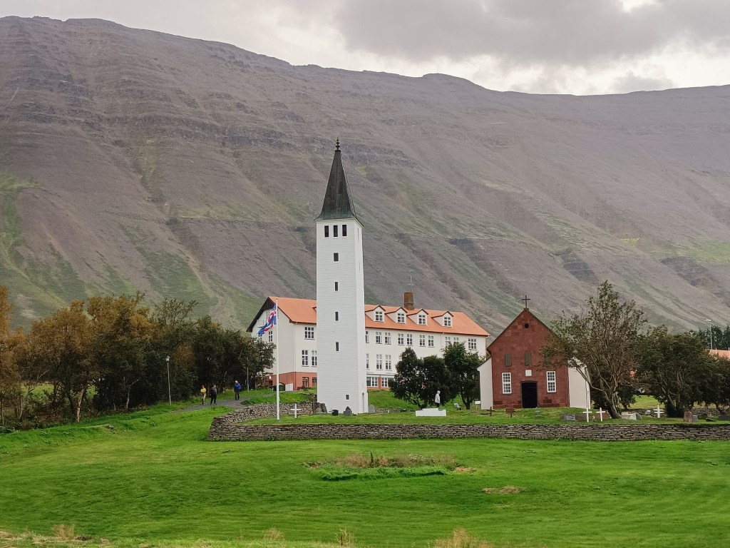
Despite the rain and clouds, Holar turned out to be a pretty little village nestling at the foot of tall mountains.  Although tiny today, Holar was an important religious centre in the past and was a bishopric from 1106 to 1798.  The see of Holar was restored in 1909 and there is a Bishop of Holar to this day.  Holar had a pretty church (technically a cathedral even) dating from 1760 and some traditional old buildings with turf roofs.  Continuing its tradition of being a centre of learning, Holar also has a (admittedly small) university teaching agriculture and tourism.

Holar cathedral with the university behind it

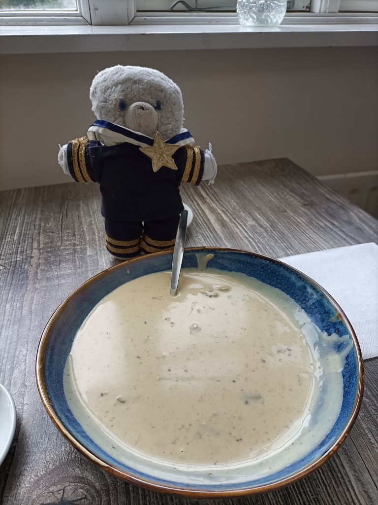
I could see a café attached the university buildings, but the lights inside were off.  I tried the door in desperation…………and it opened!  Inside was a small counter…….with a coffee machine. I rang a bell for service and a friendly Icelander served me expresso.  He also recommended his asparagus and mushroom soup, made with mushrooms from the mountains around Holar – it was delicious!

Soup and coffee – saved!

The café in Holar was a lucky find because the next stretch of road was very boring and would have been hard to do without refreshment.  The road rejoined the main Route 1, and ran, flat, monotonous and grey for mile after mile. Even Lonely Planet could not suggest anything worth stopping for in this dull, remote bit of the country. To make things worse, my car started to struggle against the ferocious headwind, and an array of warning lights appeared on my dashboard. I stopped to check the owner’s manual but found only Icelandic text. A search of the web (internet connection seems to be available almost everywhere around Iceland) suggested that the warnings were not critical and that I could carry on,  but I had an uncomfortable feeling – breaking down here would be worse than inconvenient, since there were no garages for miles.

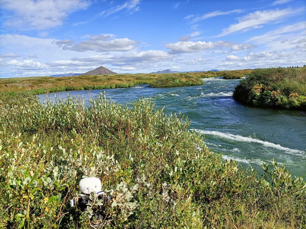
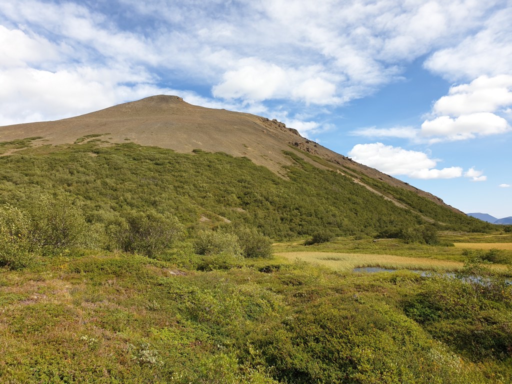
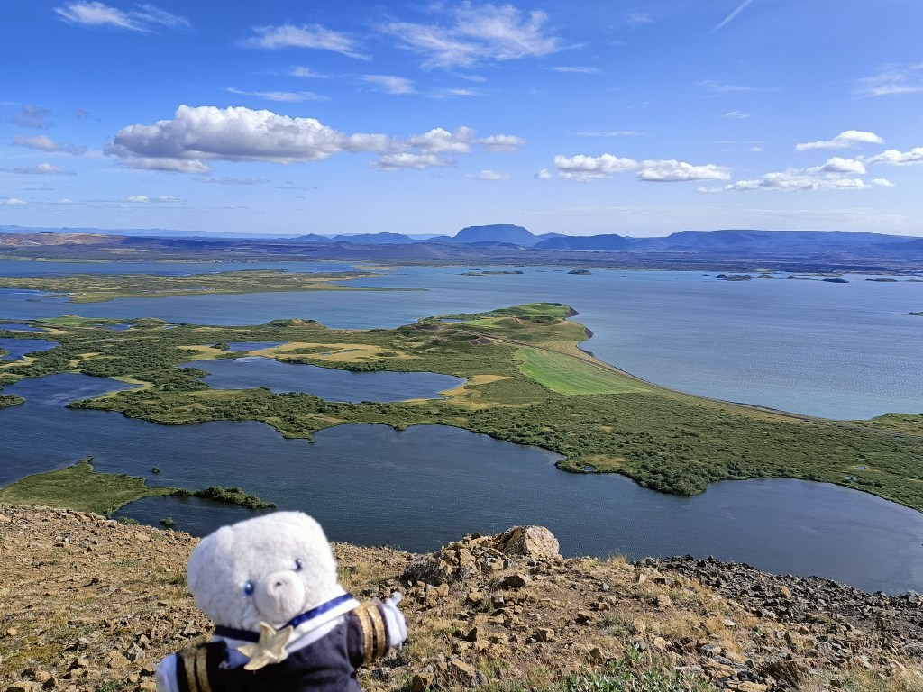
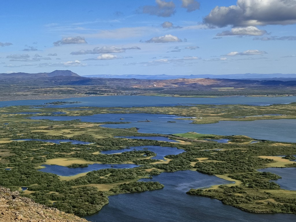
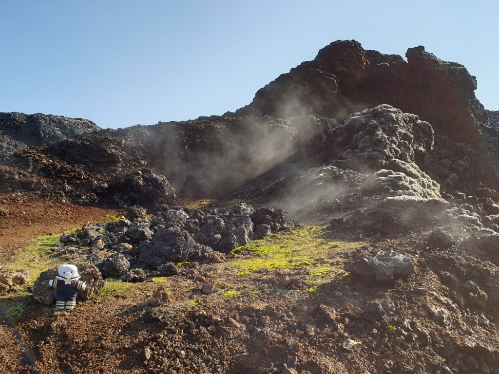
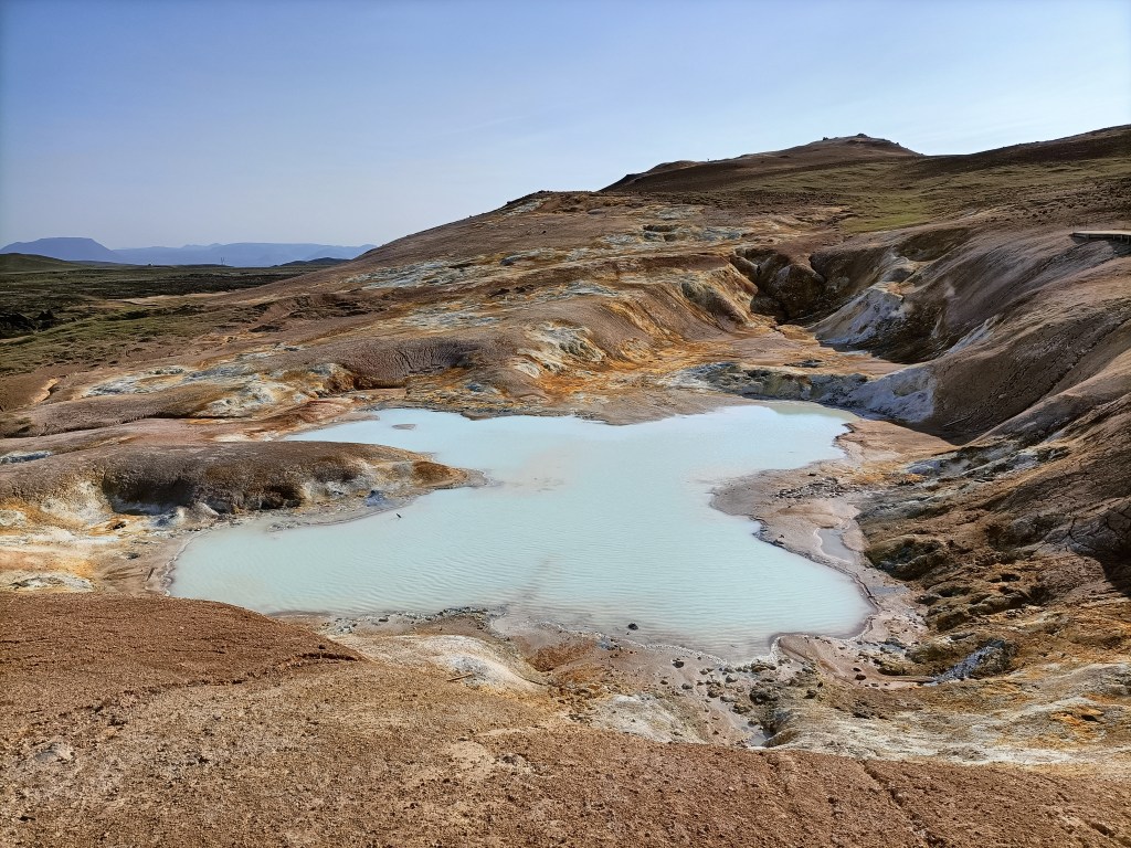
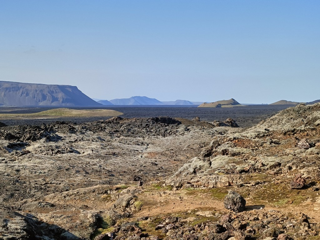
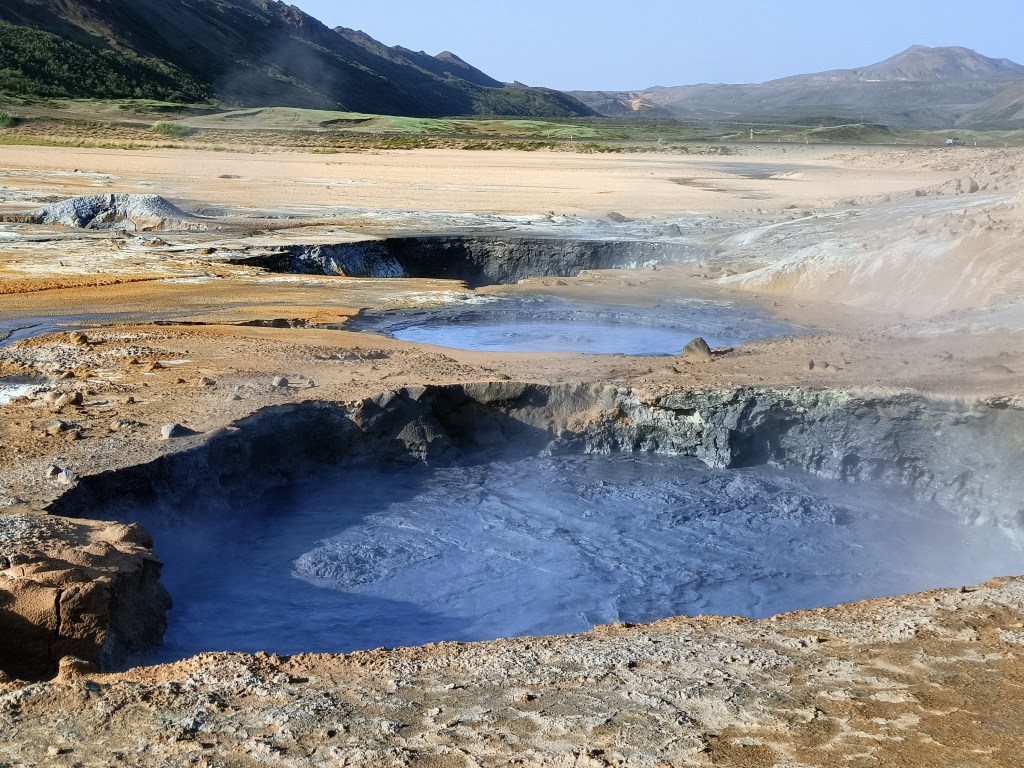
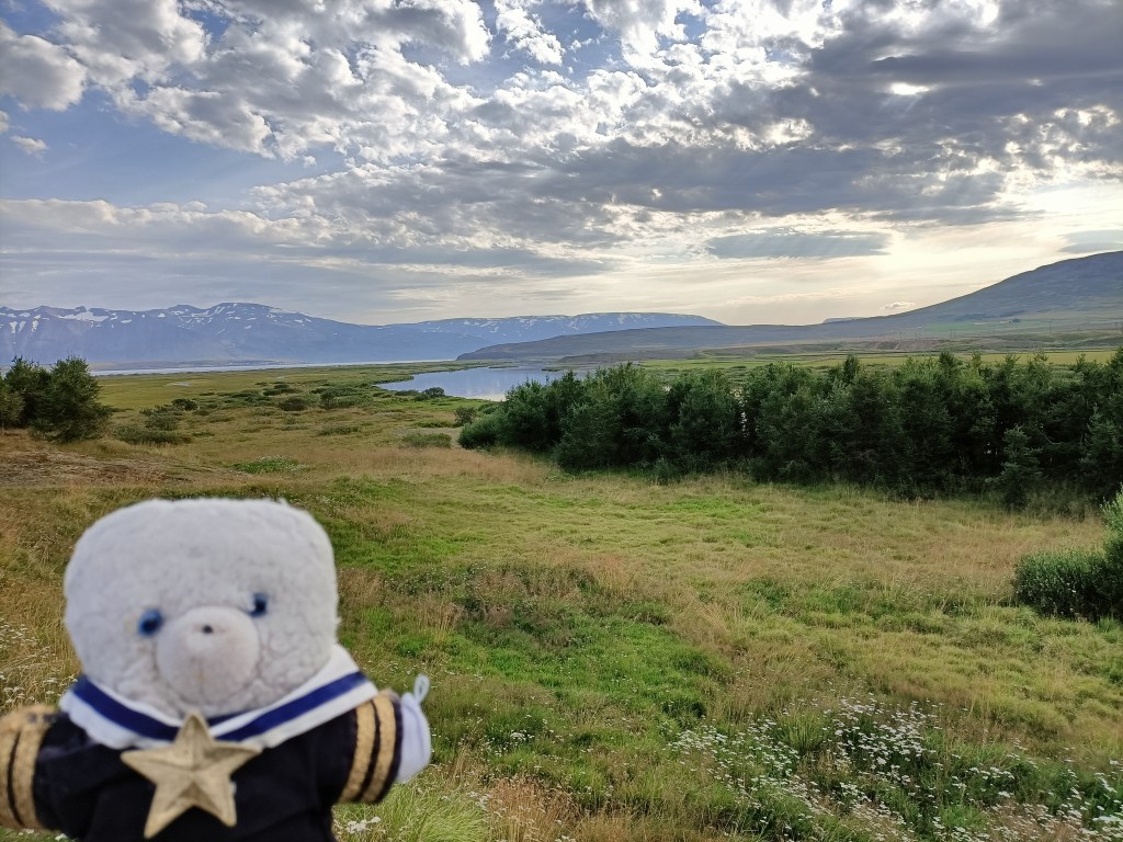
As I left Route 1 for Route 68 going to the Westfjords, the weather improved, and my warning lights suddenly disappeared. I even stopped to take some photos.

Scenery at the start of the Westfjords

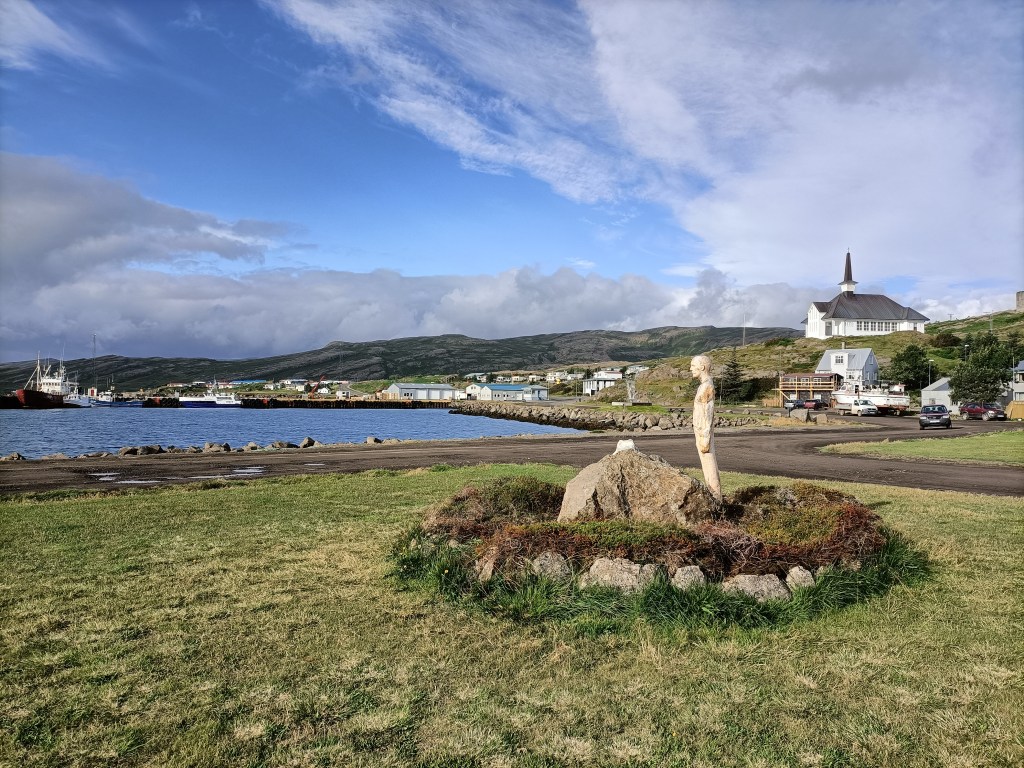
I finally made it to Holmavik at around 6pm – I had been on the road for nearly nine hours.  It was a tiny place, and was functional rather than pretty – but at least I had arrived.  The town had a shop, self-service petrol pump, a small port harbouring fishing boats, a pile of what looked like abandoned freight containers, a couple of guesthouses, a museum, and a cold wind howling along the main street.

Holmavik

Fortunately my accommodation was very good – unlike most of the places I had stayed so far, it had old furniture and looked like it might once have been someone’s home. And best of all it had a cosy living room with a comfortable sofa and view of the sea. I cooked the cod I bought in the local shop and celebrated the end of a long, difficult day with a glass of whisky.

Taking it easier at Myvatn

After two long and very busy days, I resolved to take it easier today and left late to explore Myvatn,  a large, shallow lake formed by a volcanic eruption 2000 years ago. The lake is lush and green, with lots of small islands, bubbling rivers entering or leaving the lake, and lots of bird life. It is surrounding by many interesting volcanic structures.  My only plan for today was to drive around the lake clockwise and see what I would find.  

Myvatn lake

My first stop was to climb the small mountain called Vindbelgjarfall, on the western side of the lake.  It was a steep but short walk, and from the summit there were fantastic views across the lake.  I found a little hollow in the mountain to shelter from the strong wind and enjoyed my sandwich lunch whilst taking lots of pictures.  

Vindbelgjarfall
The view from the summit
Another view from the summit
Yet another view from the summit – this time with “pseudo-craters” (more about these later)

Next stop was Dimmuborgir, on the east side of the lake. Here the lava from the eruption had made many strange shapes. I stopped for a coffee in the café at the entrance to the site and noticed an interesting item on the menu – “lava bread”.  This is bread made by placing dough and yeast underground, where the cooking is done by geothermal heat. I resolved to set off on a short walk and to buy some bread when I returned. After wandering around a bit on the many marked paths, I spotted a path leading to the volcanic cone of Hverfjall, about 2km away.  The path up to the foot of the volcano was very pretty, with lots of flowers and strange lava forms.

An arch of lava at Dimmuborgir, with Hverfjall in the distance
On the way to Hverfjall….

In contrast, the climb up was extremely hard and monotonous – the soft grey ash that formed the cone gave way under foot, and for every two steps up, I slid one step back.  When I finally reached the top, the view was only average – the crater had no water, and resembled a giant grey ashtray. The view of the surrounding area was good, but not as good as I had experienced in my morning climb of Vindbelgjarfall.  

….and on its rather disappointing summit

Remembering that the café closed at 5pm – even in peak tourist season many things close really early in Iceland – I hurried back, only to find that they had sold out of “lava bread”.  I guess it probably tastes exactly like normally bread, but who knows…….

I regained my car and continued my drive, this time to the southern shore of the lake.  Here the main attraction are the many small “pseudo-craters” – structures that formed when lava flowed over an expanse of water.  The water boiled, and the steam created exploded through the solidifying lava to leave lots of small craters.  

Pseudo-craters at the southern end of the lake

It was time to go back to my rental cottage.  For some reason I feel sleepy here all the time – maybe it is the fresh air, maybe the big variations in temperature during the day, or maybe a subtle effect of volcanic gases. I had dinner and slept well.

Whales (maybe) and Volcanoes

Today was busy.  First, I set off in brilliant sunshine for a whale watching trip from Husavik, about 30 minutes drive away.  My vessel was a pretty wooden boat called Hildur, that had sails as well as an engine. 

Husavik, a pretty town and Iceland’s whale-watching centre
My boat – the Hildur

Husavik is Iceland’s whale watching capital, and the four companies that provide excursions all had websites showing encounters with large humpback whales – sometimes with the whale jumping out of the water. One company boasted a whale sighting rate of 99.6%. Once we had boarded, our guide told us  ten species of whale have been seen from Husavik, including the blue whale, the biggest living animal. However, as regards actually seeing anything on our trip she was more downbeat, stressing that this was a matter of chance and where the whales happened to be feeding that particular day.  And so it proved – we sailed for two hours towards the mouth of the fjord, and only saw a few birds. Whilst there was a great view of the mountains from the sea, and I saw my first ever guillemot, that wasn’t what I had come for!

Pretty mountains….but no whales

It had been hot – T-shirt weather – in Husavik, but on the sea it was cold. I put on extra clothing but was still shivering – the lack of the excitement of a whale-sighting didn’t help.  The boat had just turned around to head back to port when the guide announced that their sister ship had spotted something.  We hurried to join them, and finally got a glimpse of a black whale’s back, and its dorsal and tail fins. It was a minke whale, one of the smallest and most common species – the same type of whale that had recently become stuck in the River Thames only a few miles from home in London. But all the same, it was a whale, so the trip could be considered a partial success. We watched it for a while as it surfaced and dived, reemerging in a new spot each time.  Its appearances were so fleeting that I gave up trying to film and just enjoyed watching.

Back on land, it was hot.  The strong variations in temperature, from hot to cold to hot again had made me very tired. I ate my sandwich lunch sitting the grass of the square next to the church, and then dosed off in the sun.  I felt better after my snooze, went to grab a coffee from a nearby restaurant, and then headed off to my next destination – a volcanic area called Krafla that was the site of major eruptions in the 1970s and 80s. Krafla is located just next to the major tourist centre of Myvatn, which I will visit tomorrow. The road went past a large geothermal power plant, which supplies all the electricity in the region. My first stop was an impressive volcanic crater, filled with brilliant blue water.

The Viti volcanic crater (“Viti” means “hell” in Icelandic)

Next, I backtracked a couple of kilometres to Leihrnjukur, the site of the 1970s eruptions. The area is still volcanically active to this day. A path led through the eerie landscape of sulphurous pools and volcanic vents belching steam, with a huge lava field from the eruption stretching away into the distance. It was important to stay on the path – in places, a narrow crust of earth covers areas of boiling hot water, and it is quite possible for people to fall through and be boiled alive. Toxic volcanic gases can also be a hazard in this area. Maybe because of this, there were very few tourists visiting this area and for most of my hike I was completely alone.

As close as I dare go – a steaming vent at Leihrnjukur
A volcanic pool
The lava fields stretch for miles

My next stop was to admire yet more volcanic activity at Hverir – a series of boiling mud pools and steaming vents located a little further down the valley.   This area was much more popular with tourists than the previous two, and people competed to be photographed next to the biggest and smelliest vents.

Bubbling mud pools at Hverir
Like the planet Mars….
Steaming volcanic vents dot the landscape

My final stop was Myvatn’s Nature Baths.  Here, they have made a large hollow in the ground and filled it with hot water taken directly from the boreholes of the nearby geothermal power plant. The water is a brilliant blue colour, due to suspended silica that scatters blue light – the baths are very much like the Blue Lagoon near Reykjavik, but less well known. The water arriving from the power plant is a scalding, pressurised 130C and is allowed to cool in a large storage lagoon before being pumped to the baths, which are a pleasant 38-42C. I spent a happy hour wallowing in the water, admiring the views over the volcanic plain to the mountains in the far distance. 

The Myvatn Natural Baths

The baths stay open until midnight and I thought about staying until the sunset at 9pm, but decided that spending three hours lazing in hot water was a bit too decadent.  Besides, I was now hungry, so I headed home and had an excellent dinner of fresh Icelandic cod after another busy and varied day.

Blog at WordPress.com.

Up ↑