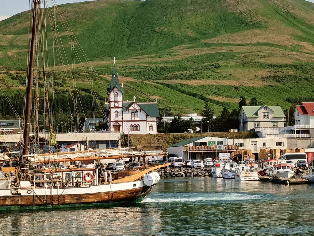
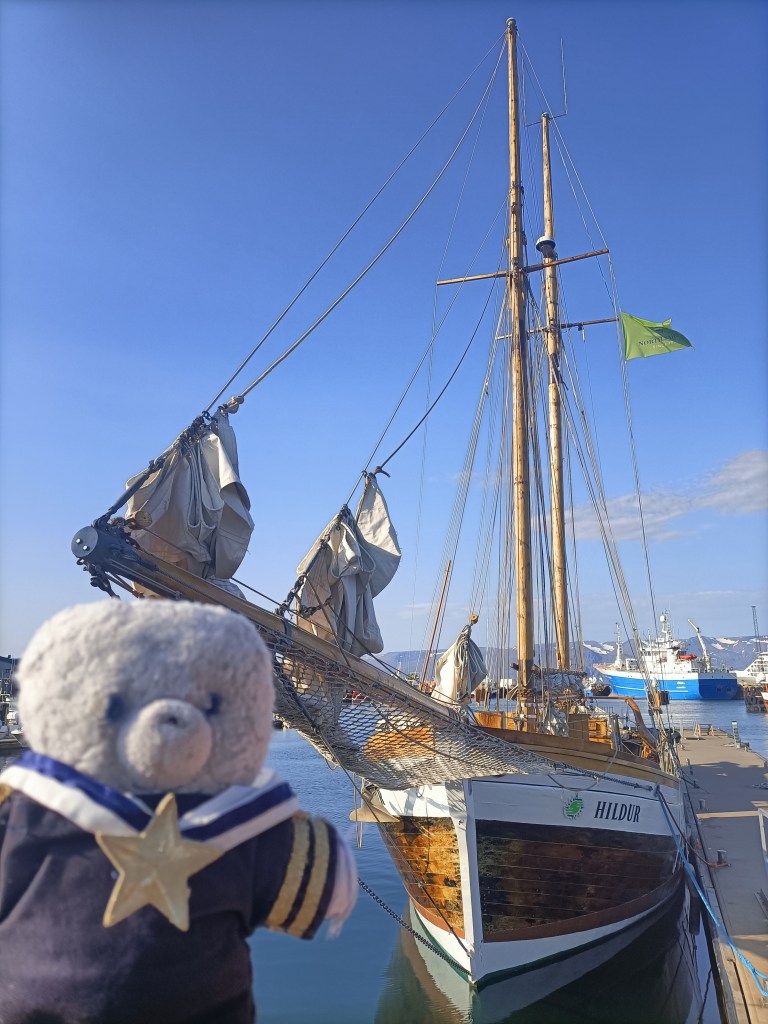
Today was busy. First, I set off in brilliant sunshine for a whale watching trip from Husavik, about 30 minutes drive away. My vessel was a pretty wooden boat called Hildur, that had sails as well as an engine.
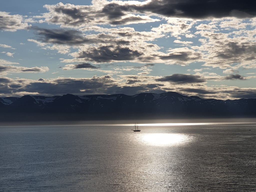
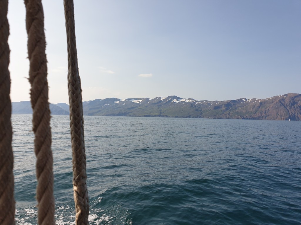
Husavik is Iceland’s whale watching capital, and the four companies that provide excursions all had websites showing encounters with large humpback whales – sometimes with the whale jumping out of the water. One company boasted a whale sighting rate of 99.6%. Once we had boarded, our guide told us ten species of whale have been seen from Husavik, including the blue whale, the biggest living animal. However, as regards actually seeing anything on our trip she was more downbeat, stressing that this was a matter of chance and where the whales happened to be feeding that particular day. And so it proved – we sailed for two hours towards the mouth of the fjord, and only saw a few birds. Whilst there was a great view of the mountains from the sea, and I saw my first ever guillemot, that wasn’t what I had come for!
It had been hot – T-shirt weather – in Husavik, but on the sea it was cold. I put on extra clothing but was still shivering – the lack of the excitement of a whale-sighting didn’t help. The boat had just turned around to head back to port when the guide announced that their sister ship had spotted something. We hurried to join them, and finally got a glimpse of a black whale’s back, and its dorsal and tail fins. It was a minke whale, one of the smallest and most common species – the same type of whale that had recently become stuck in the River Thames only a few miles from home in London. But all the same, it was a whale, so the trip could be considered a partial success. We watched it for a while as it surfaced and dived, reemerging in a new spot each time. Its appearances were so fleeting that I gave up trying to film and just enjoyed watching.
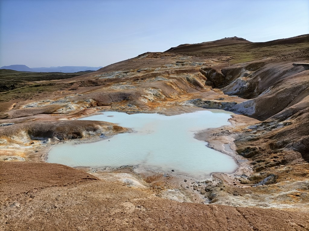
Back on land, it was hot. The strong variations in temperature, from hot to cold to hot again had made me very tired. I ate my sandwich lunch sitting the grass of the square next to the church, and then dosed off in the sun. I felt better after my snooze, went to grab a coffee from a nearby restaurant, and then headed off to my next destination – a volcanic area called Krafla that was the site of major eruptions in the 1970s and 80s. Krafla is located just next to the major tourist centre of Myvatn, which I will visit tomorrow. The road went past a large geothermal power plant, which supplies all the electricity in the region. My first stop was an impressive volcanic crater, filled with brilliant blue water.

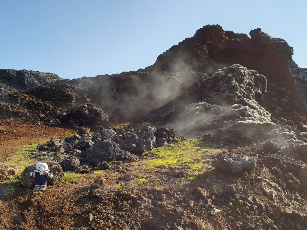
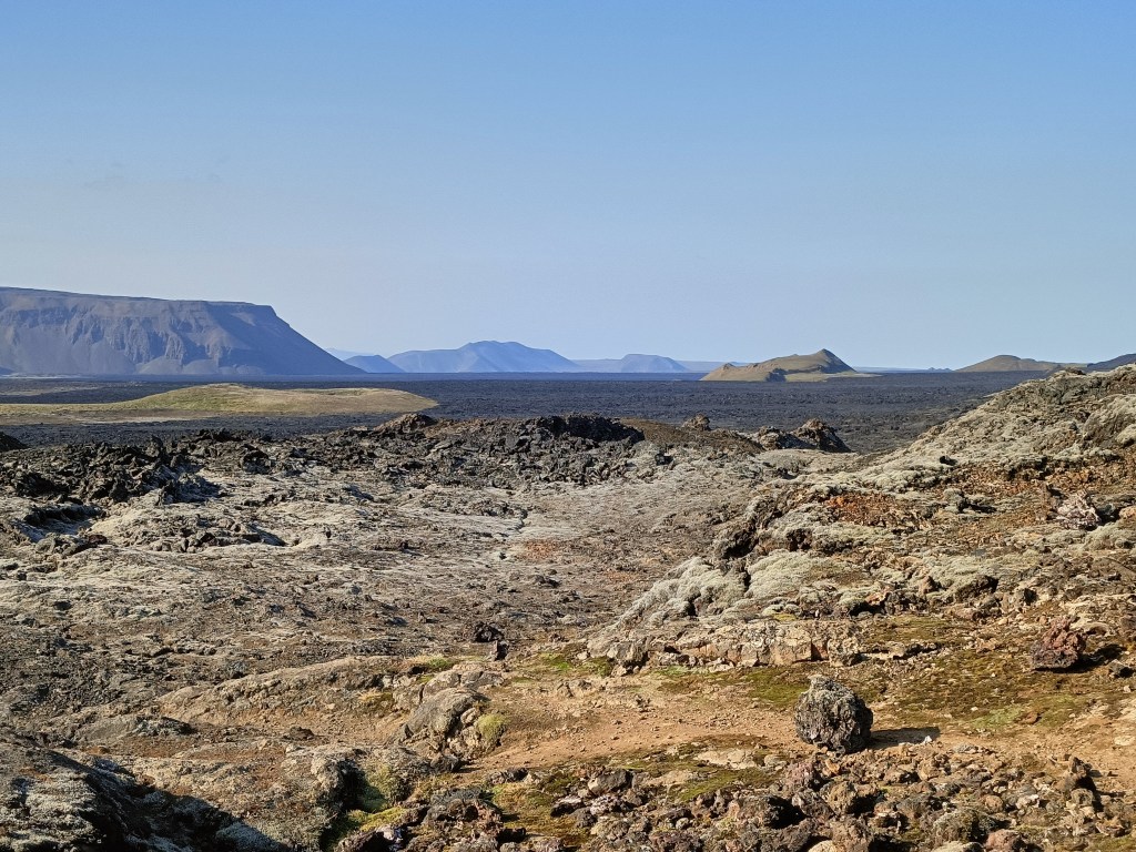
Next, I backtracked a couple of kilometres to Leihrnjukur, the site of the 1970s eruptions. The area is still volcanically active to this day. A path led through the eerie landscape of sulphurous pools and volcanic vents belching steam, with a huge lava field from the eruption stretching away into the distance. It was important to stay on the path – in places, a narrow crust of earth covers areas of boiling hot water, and it is quite possible for people to fall through and be boiled alive. Toxic volcanic gases can also be a hazard in this area. Maybe because of this, there were very few tourists visiting this area and for most of my hike I was completely alone.
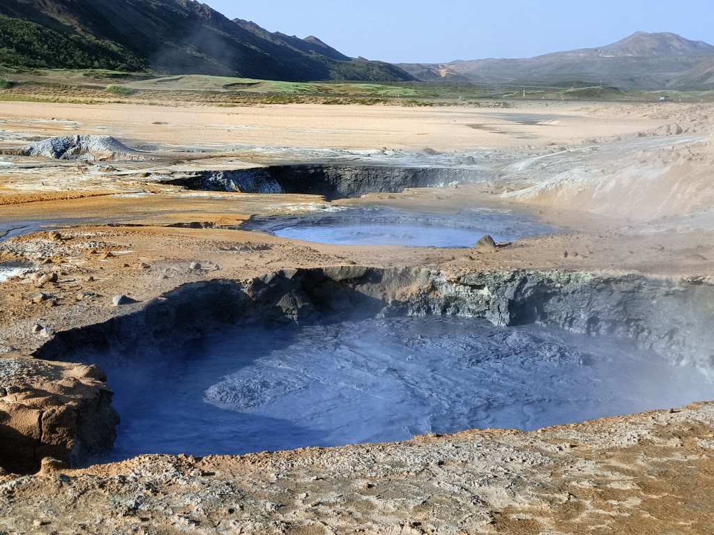
My next stop was to admire yet more volcanic activity at Hverir – a series of boiling mud pools and steaming vents located a little further down the valley. This area was much more popular with tourists than the previous two, and people competed to be photographed next to the biggest and smelliest vents.

My final stop was Myvatn’s Nature Baths. Here, they have made a large hollow in the ground and filled it with hot water taken directly from the boreholes of the nearby geothermal power plant. The water is a brilliant blue colour, due to suspended silica that scatters blue light – the baths are very much like the Blue Lagoon near Reykjavik, but less well known. The water arriving from the power plant is a scalding, pressurised 130C and is allowed to cool in a large storage lagoon before being pumped to the baths, which are a pleasant 38-42C. I spent a happy hour wallowing in the water, admiring the views over the volcanic plain to the mountains in the far distance.

The baths stay open until midnight and I thought about staying until the sunset at 9pm, but decided that spending three hours lazing in hot water was a bit too decadent. Besides, I was now hungry, so I headed home and had an excellent dinner of fresh Icelandic cod after another busy and varied day.