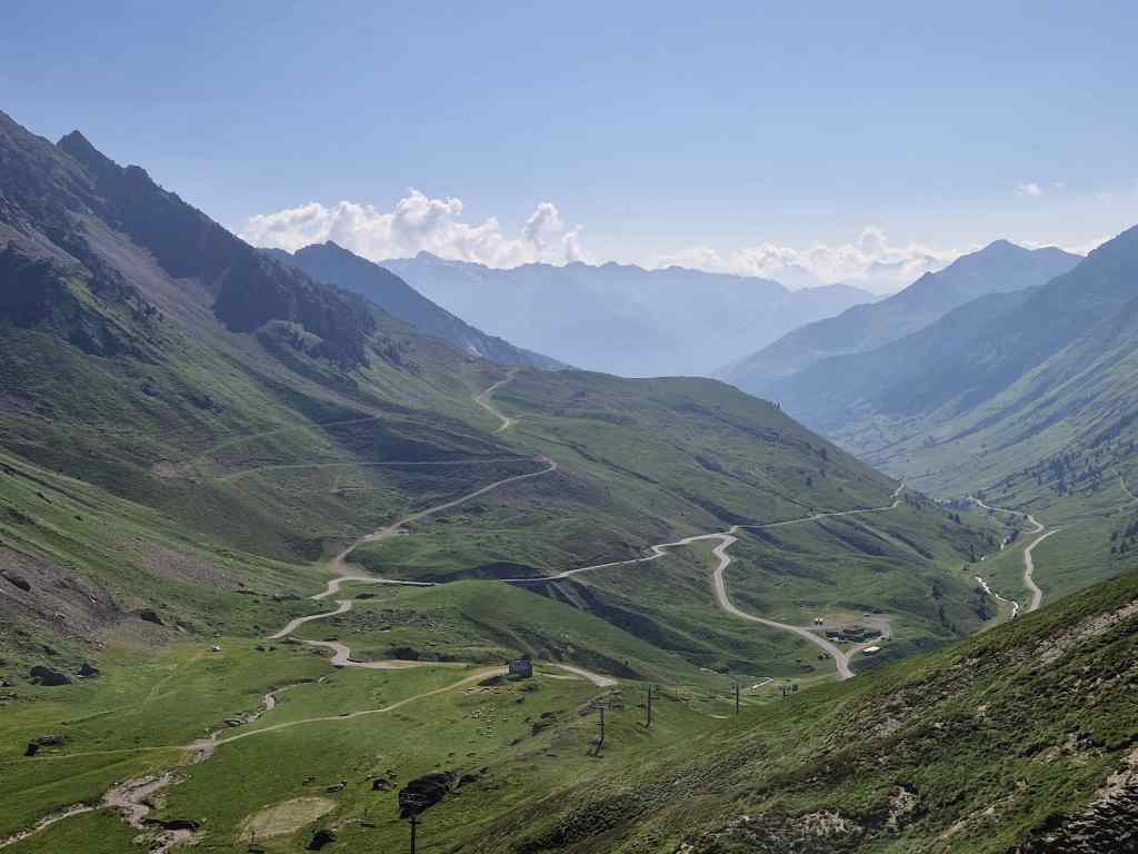
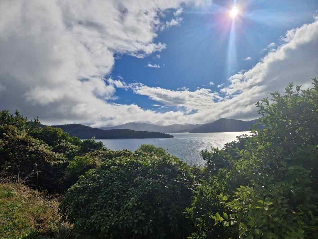
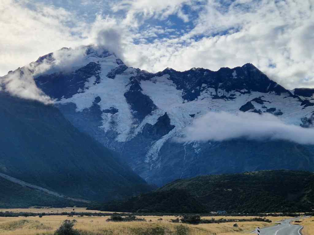
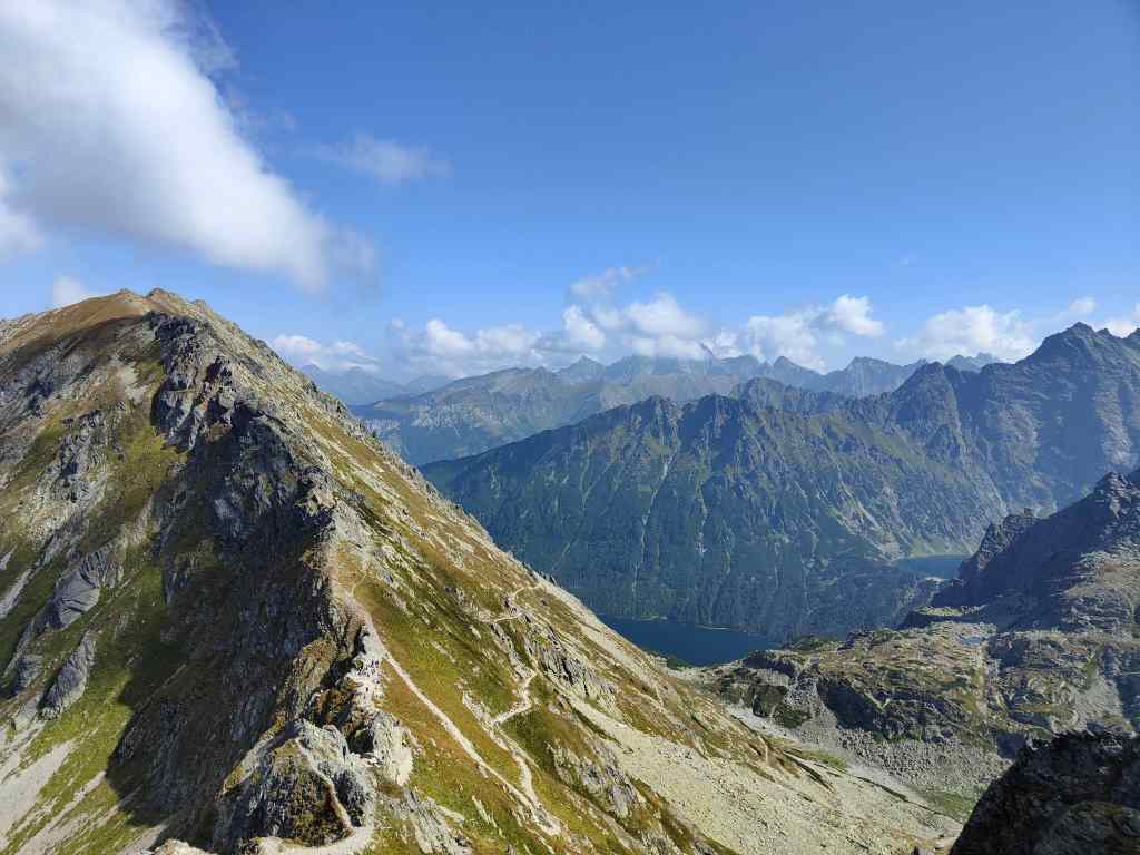
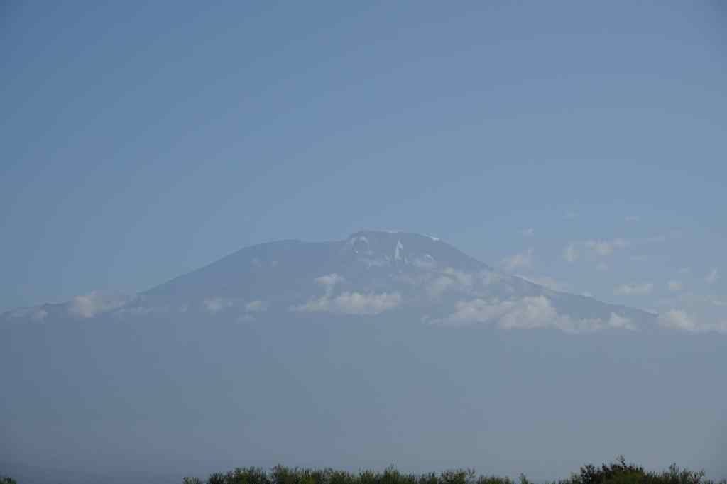
Our guide Estomih told us that today was going to be a long day. Quite how long, nobody expected. We set off along the main road leading east from Arusha towards Mount Kilimanjaro, our intended destination being a small village of the Chagga tribe, who live in the foothills of the famous mountain. At first, things went well and we even glimpsed a view of the famously shy Kilimanjaro, which is usually covered in cloud from mid-morning to late afternoon.
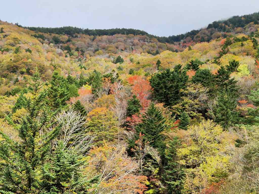
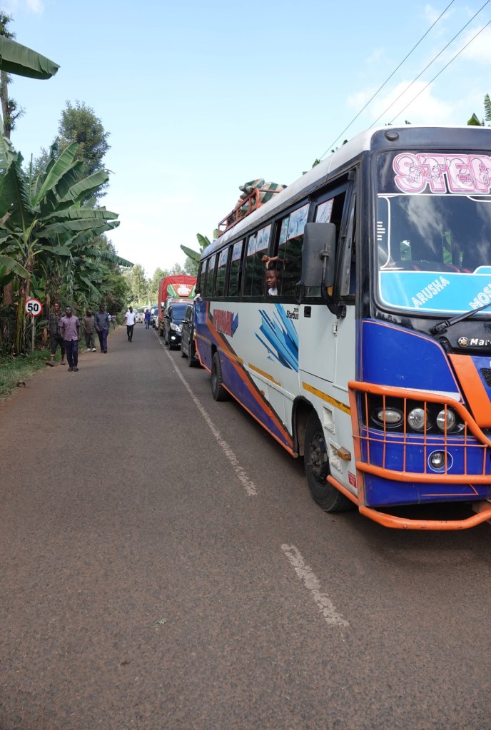
Suddenly our plan started to unravel, as we hit a long line of lorries stuck in a traffic jam. We were able to pass them, but only as far as police roadblock, where we told that the main road had been closed following a collision between two large trucks on a bridge. Since this was the main route linking Tanzania’s third biggest city (Arusha) with the capital Dar Es Salam, this was obviously a huge problem. We were directed onto a side road and told we could make a big detour around the blocked area; Estomih estimated that this would add about an hour to our trip. Initially we were not too bothered by this, since the scenery was much prettier than the main road – lush vegetation, small villages and ocassional glimpses of Kilimanjaro in the distance. But then we hit another line of stationary vehicles. We heard that this road had also been blocked when a diverted bus had hit a narrow bridge.
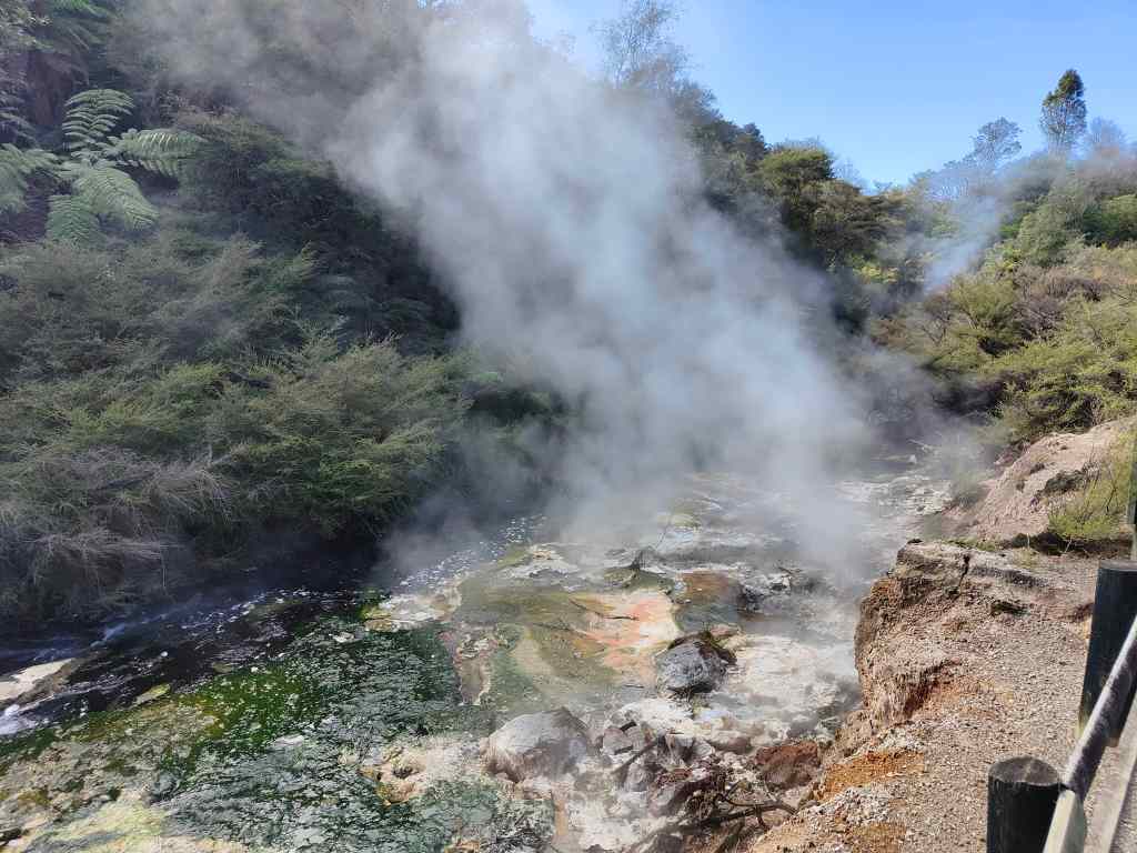
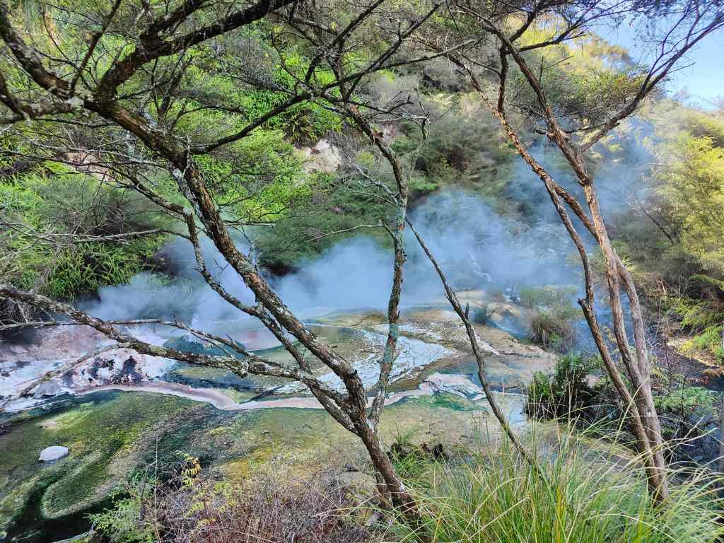
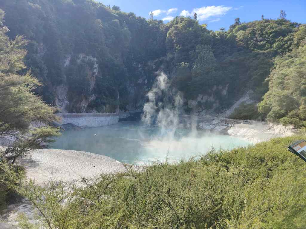
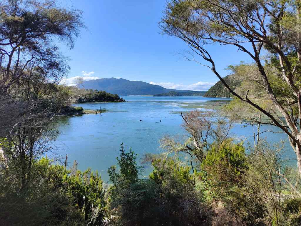
After twenty minutes of waiting around, with no sign of progress, I got up to stretch my legs. After another ten minutes Estomih finally found a policeman, who advised us that the chances of progress in the next couple of hours was very low, so we decided to rearrange our day and do the afternoon’s planned activity first. We left the long queue, turned around and headed to what our programme described as “hot springs”, which were found on a bumpy, dusty track just off the main road back to Arusha. They turned out to actually be refreshingly cool rather than hot, with crystal clear water forming two large pools surrounded by trees.
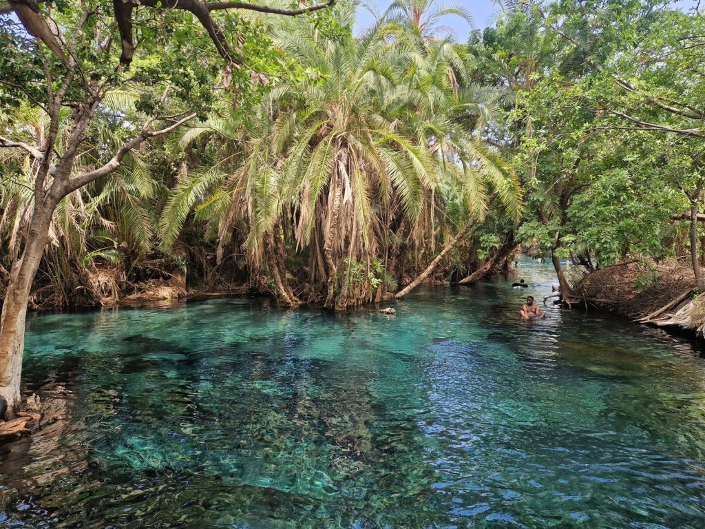
It was an idyllic scene. We quickly pulled on our bathing gear and stepped into the water – to find our legs and paws surrounded by small black catfish that pecked at our fur. Back in London they offer this type of foot massage in trendy beauty clinics, but I had never tried it before. I quite enjoyed the slightly tickly sensation, but Snoopy found it unpleasant and hurried off to swim, shaking off the pursuing fish. We spent a very pleasant hour at the springs, before Estomih announced that he had found a back way to the Chagga village. This route passed along dusty, bumpy tracks through fields – we crossed a few other vehicles who were also trying to avoid the blocked road, but otherwise it was very quiet.
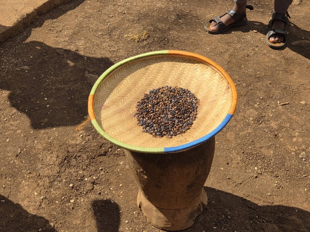
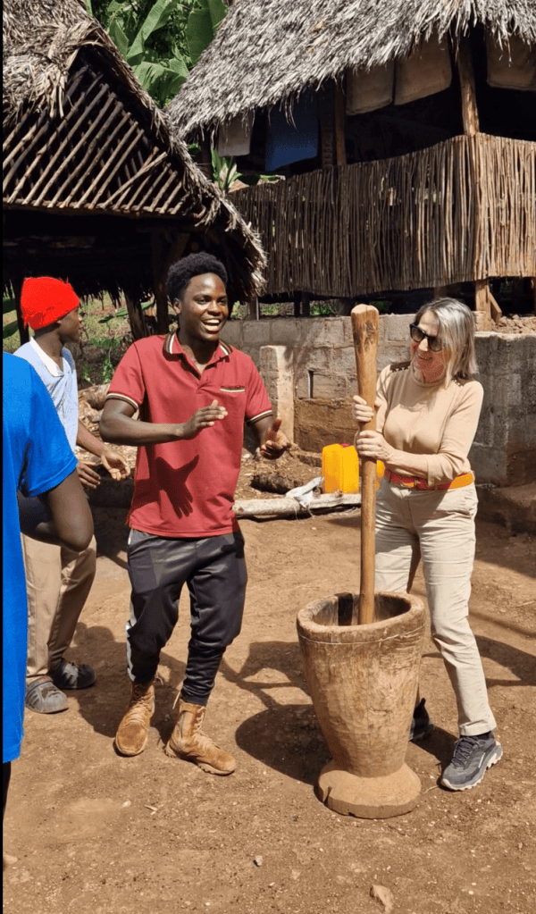
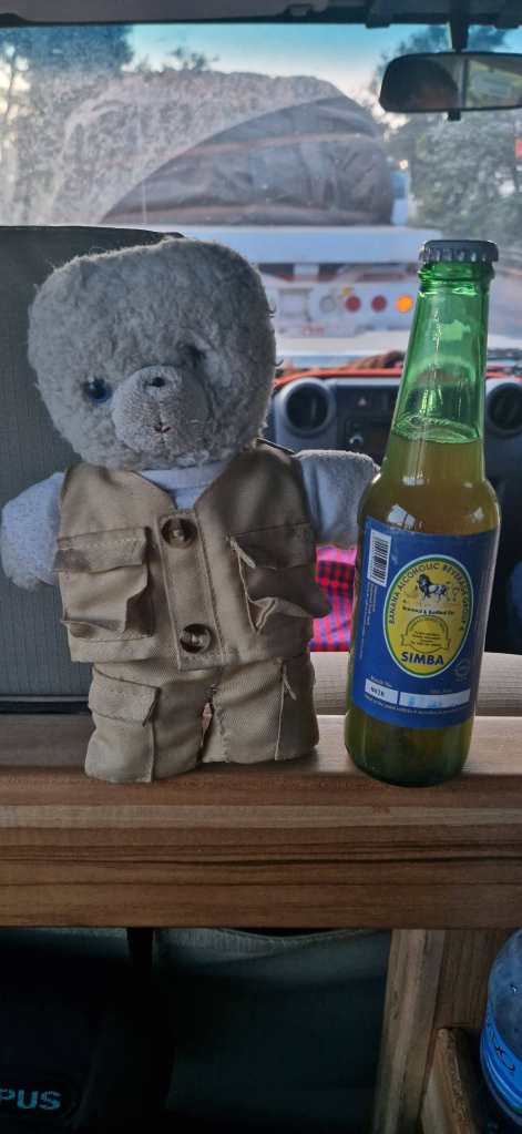
We finally got onto a main road near the small town of Moshi, and then headed north towards Kilimanjaro, which was now covered with its usual cloud. The road went steeply uphill, and the dull, dusty landscape of the plain was replaced by lush green vegetation. Our destination was a Chagga village literally at the end of the road, and we were met by our local guide who took us to a small restaurant, where we were served a meal based on one of the local specialities – bananas. The Chagga know over twenty different species, some of which are sweet and are eaten as fruit, and some of which are savoury and used in cooking. They also offered us an alcoholic drink made from fermented bananas, but since it had a 10% alcohol content, we kept our bottle for later. The Chagga people also grow coffee, and after lunch they showed us the different steps in making the drink, starting with the beans from the plant, then removing three layers of shell, and finally grinding and brewing the coffee. Our tourist group was invited to help with each of these steps, which were accompanied by singing and dancing – the Chagga people seemed to be permanently happy, as had almost every other Tanzanian that we had met on our travels.

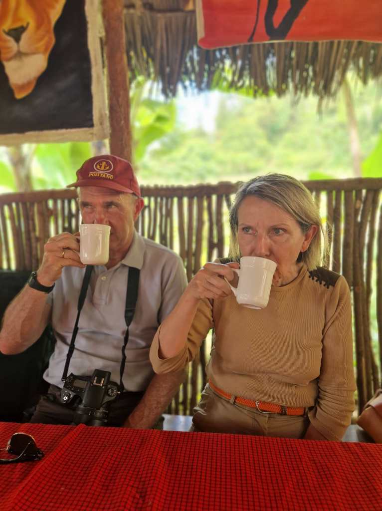
We sampled a cup of coffee made by our own efforts, which was really good…….
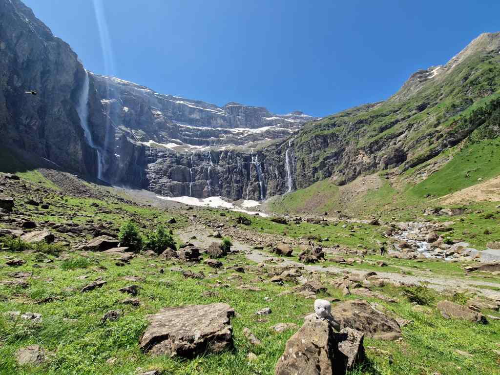
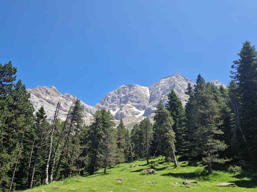
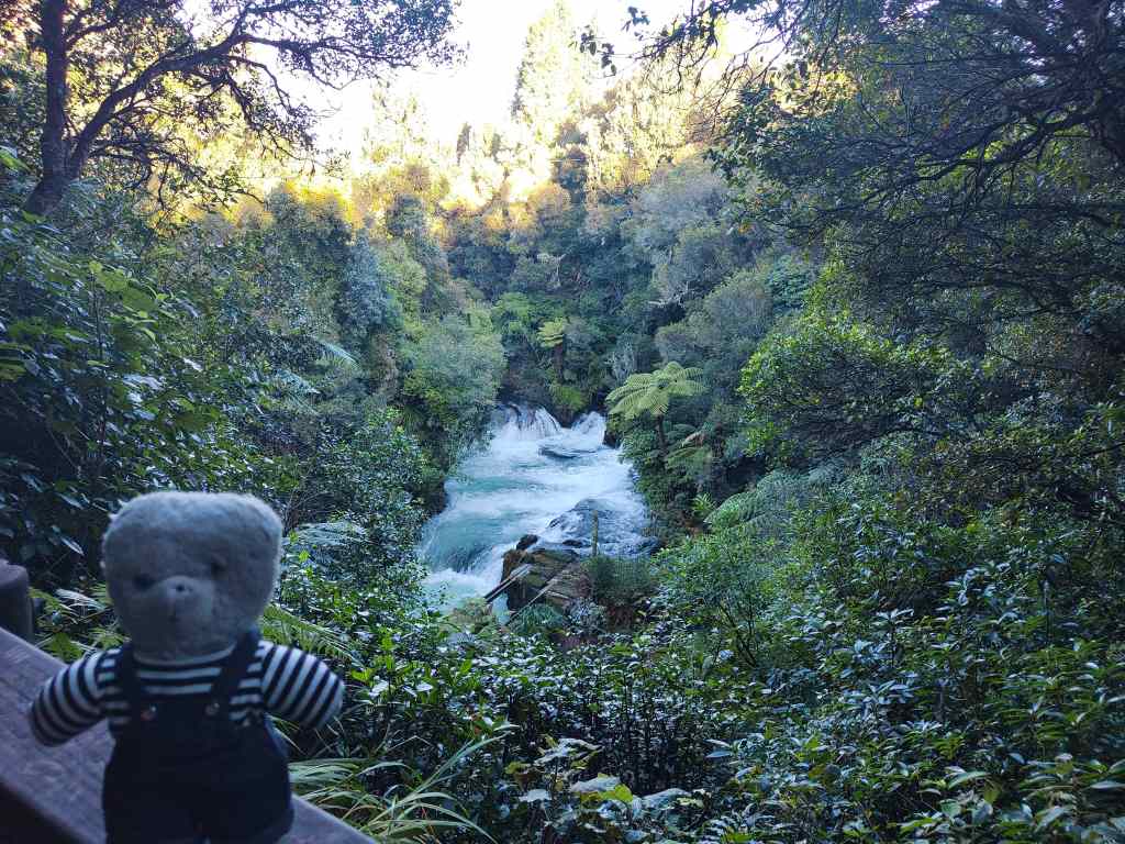
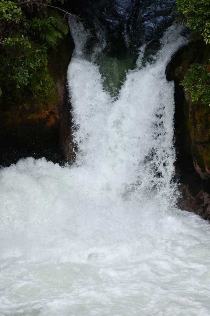
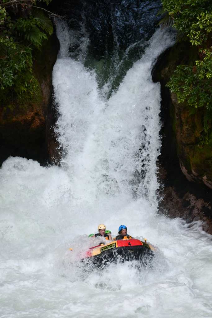
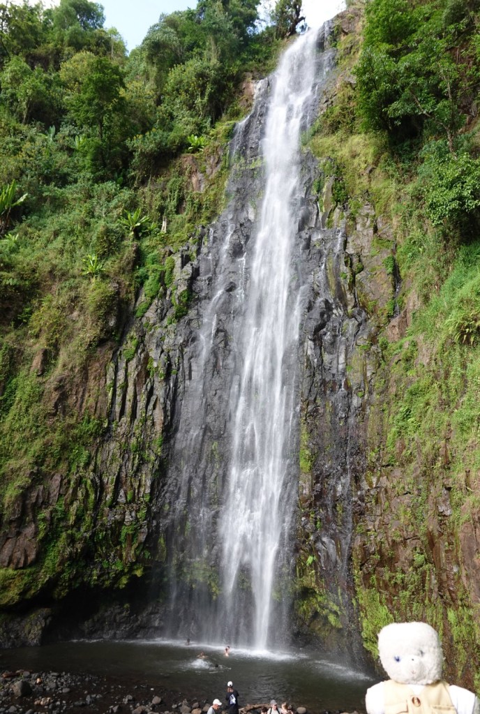
……before heading out on a short hike to a nearby waterfall, through lush green forest.
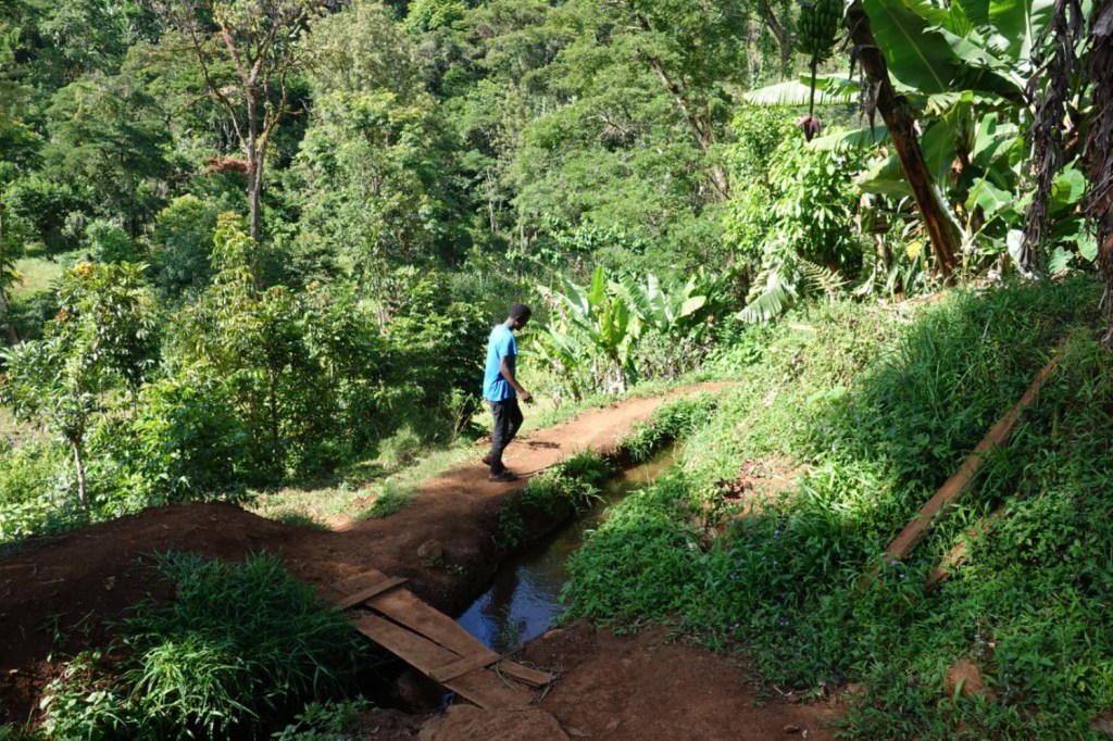
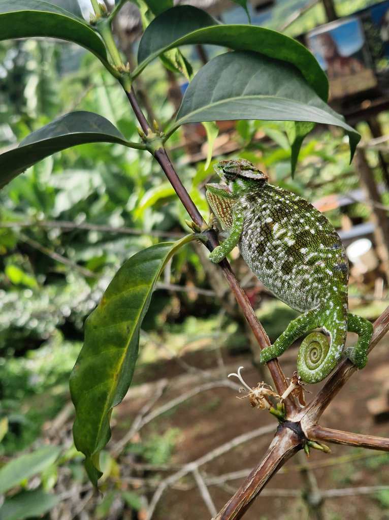
On the way we found one of the most interesting animals to inhabit the rainforests of Tanzania – the chameleon.
We reached the waterfall after about forty minutes. Some tourists went swimming, but we didn’t want to get our fur wet and stayed on the shore, admiring the view. Soon it was time to go. Back at the Chagga village we found Estomih, who had found out by radio from other guides that the main road was now partially reopened. He estimated we would need about three hours to get back to our hotel, and it was now a quarter to five.
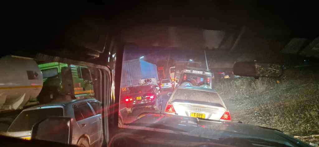
The beginning of our journey back started well. One of the two lanes of the main road was still blocked, so the police had set up a system of alternating traffic. Although slow, this seemed to work, and we sat in a long queue of jeeps and trucks, occasionally advancing a few hundred metres when it was our turn to move. It was already night, there was nothing to see, and my phone could not get the internet, so it was very boring. To pass the time I drank the bottle of banana wine the Chagga people had given us, and was so desperate for a distraction that I actually finished it – it is not something we will be taking back in our duty free.
Then something seemed to go wrong up ahead. We sat for a long time without moving, and saw no traffic coming the other way. After a while people began to get frustrated, and pulled into the other lane to advance; finally Estomih did the same. We arrived at a huge jam, with three lanes of vehicles on what was supposed to be a one lane road.
Luckily we were in a jeep, so Estomih left the highway, drove over some rough ground, and found the end of the side road that we had been supposed to take as a diversion in the morning in the opposite direction. We finally got back to our hotel at ten. Dinner usually finished at nine, but the kitchen staff stayed around to offer us the full range of food normally available, serving us with their usual happy smiles as if nothing had happened.
Over dinner we recovered our good spirits. It had been a difficult day, but it got us thinking – so far in Tanzania everything had worked like clockwork, in contrast to the frequent transport issues we experience in Europe. And unlike people back home, who would get very annoyed by the type of problem we had just faced, the Tanzanians simply smile. It’s a lesson for us to take home.
Previous Post: Hunting with the Hadzabe
Next Post: Arusha National Park