Yet More Aspects of Mount Cook

Mount Cook from the air

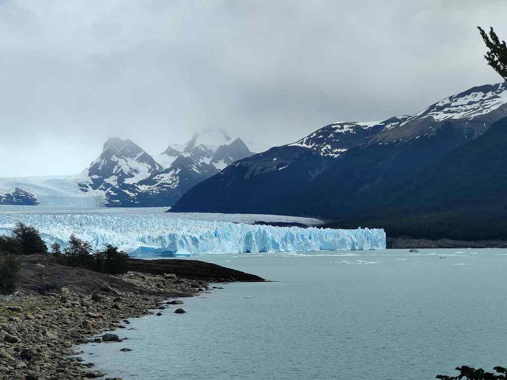
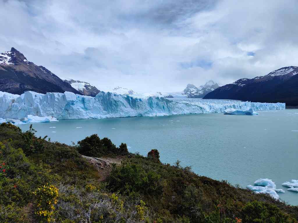
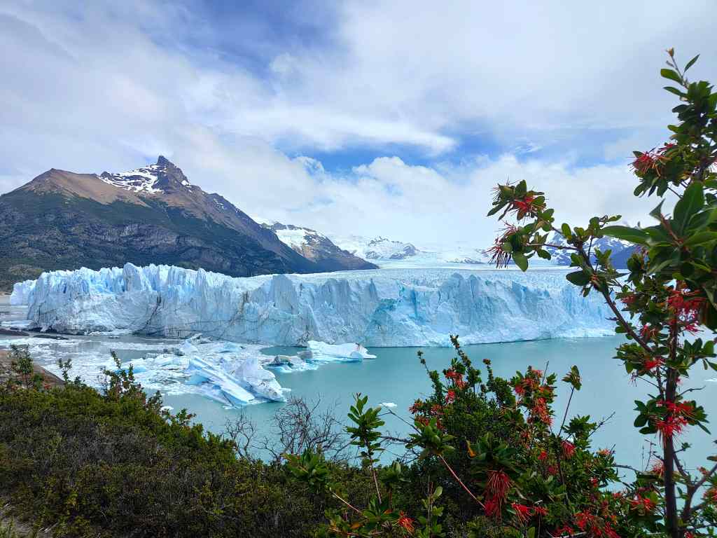
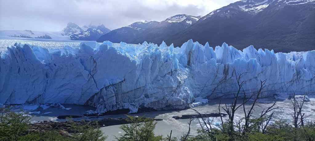
Today I made one last short walk in the Mount Cook area to the Tasman Glacier. An easy thirty minute stroll took me a viewpoint over the glacier’s lake where groups of tourists were being taken out on boat tours.

The Tasman Glacial Lake

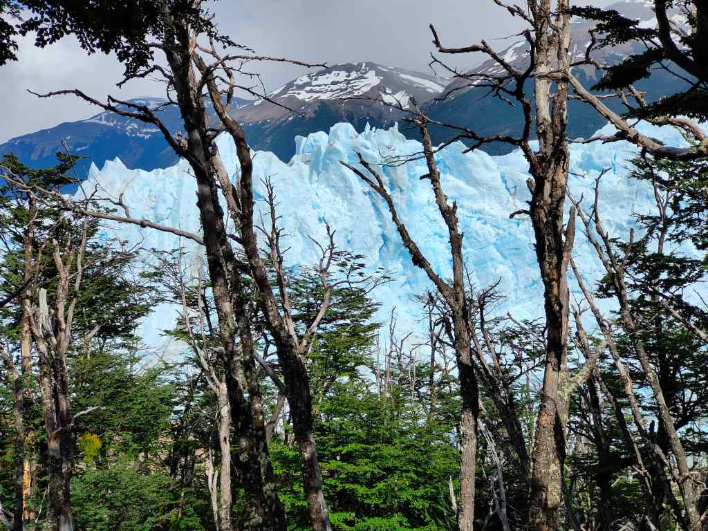
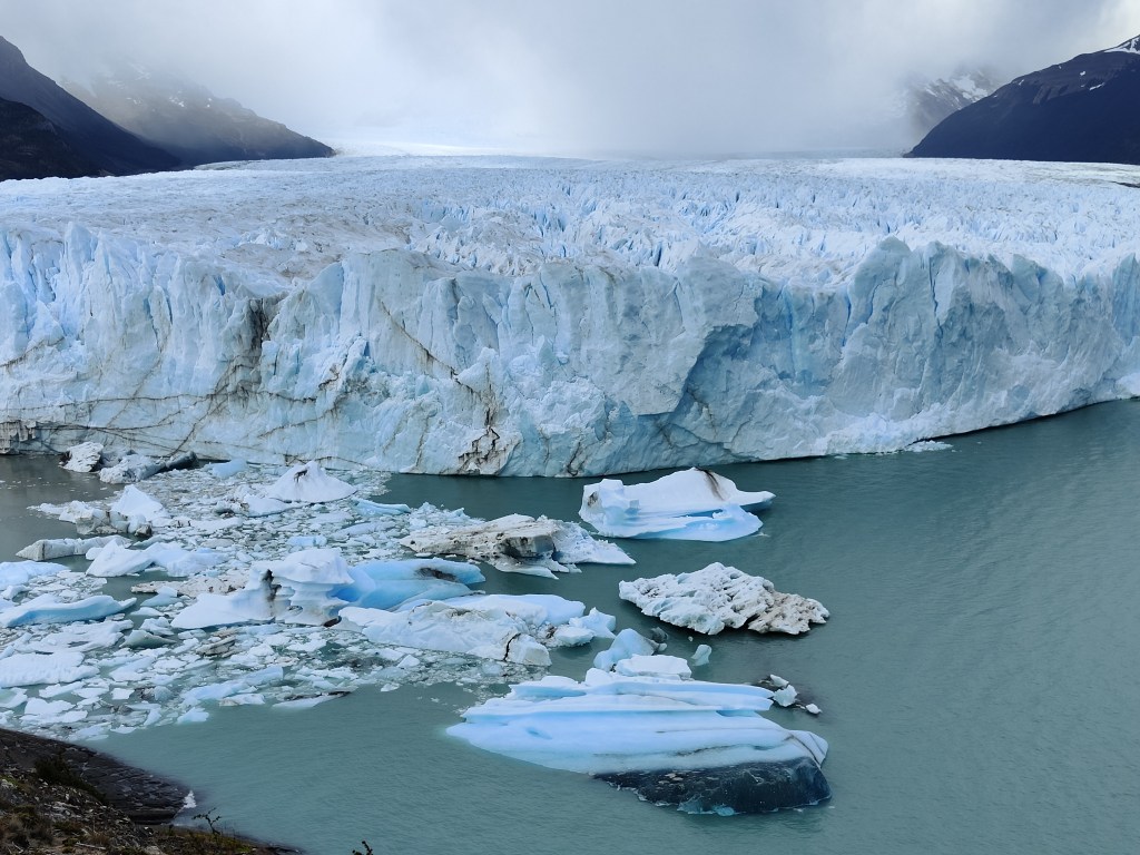
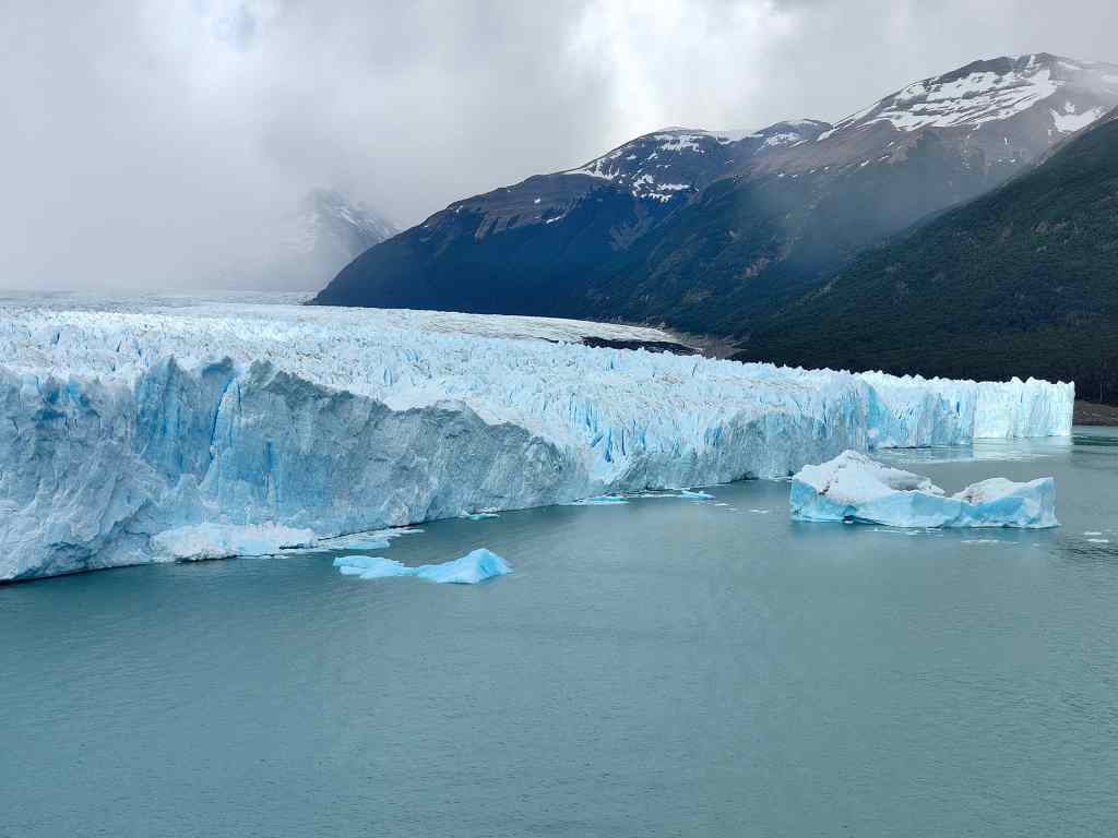
The glacier itself at the far end of the lake was a dirty gray colour; compared to my brilliant hikes of yesterday, today’s walk was rather disappointing, but at least the scenery around the lake was just as impressive as that which I had seen the day beforehand .

Scenery near the Tasman Lake

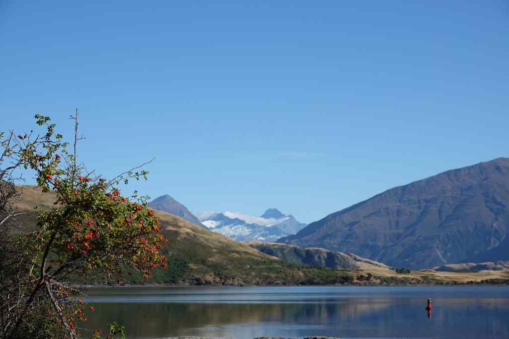
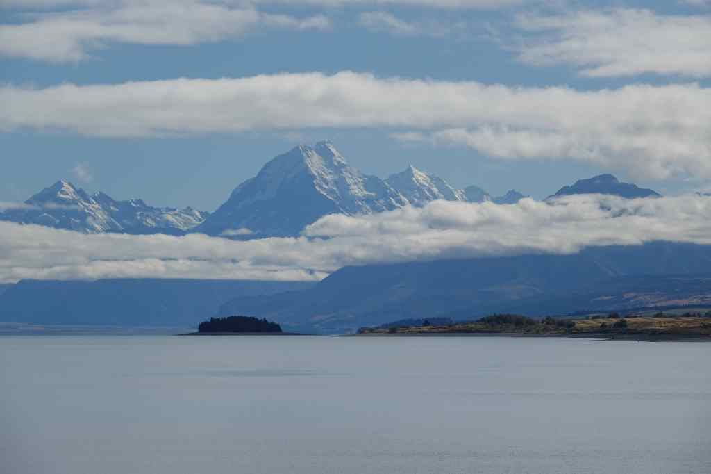
Soon it was time to head on to my next destination, Lake Tekapo. The road went back along the west bank of Lake Pukaki and then briefly along its south bank, where there was yet another great view of Mount Cook.

Mount Cook from the south shore of Lake Pukaki

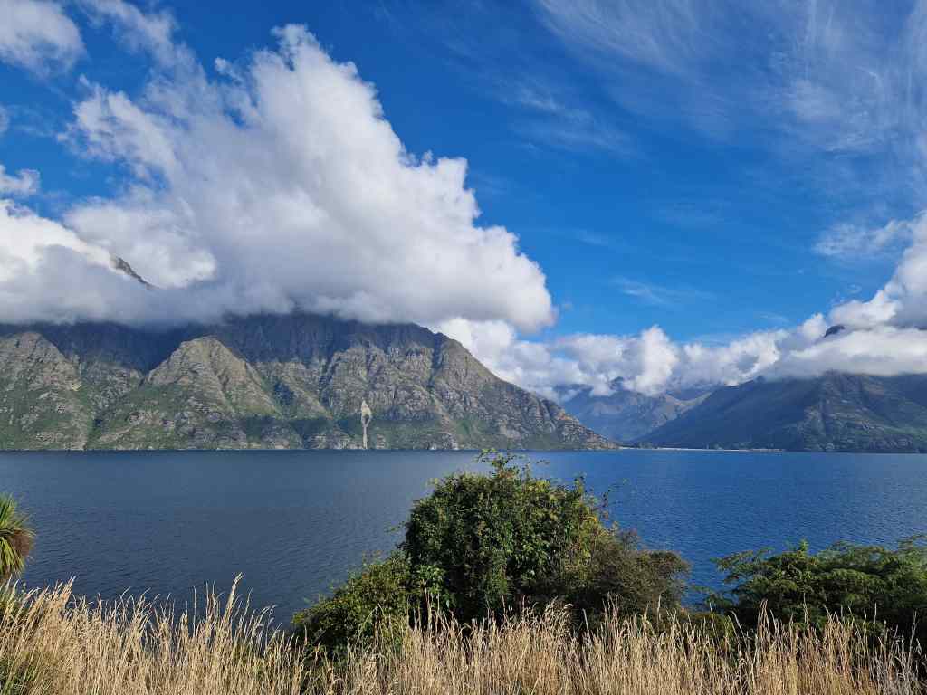
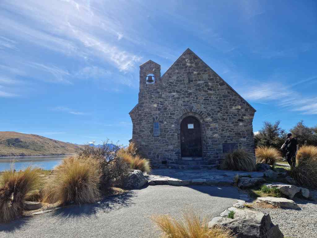
Lake Tekapo was like so many of the other places I stayed in New Zealand – a sleepy small town located on a picturesque lake – in Lake Tekapo’s case the lake is fed by glacier water and is s striking light blue colour. On the lake shore stood the much-photographed and tiny Church of the Good Shepherd, built to commemorate the country’s early European settlers in 1935 (which makes it almost an ancient monument by New Zealand’s standards!).

Church of the Good Shepherd, Lake Tekapo

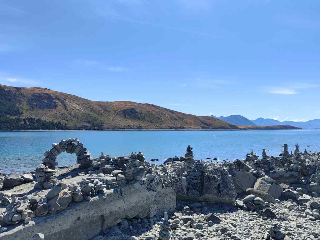
On the beach near the church, travellers had amused themselves building towers of rocks and pebbles to mark their passage, some of which were strikingly sophisticated.

An engineer must have made the bridge……

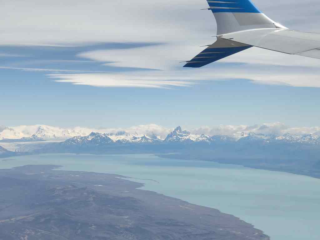
After checking in to my bed and breakfast I set off for my main activity of the day – a 50-minute flight around Mount Cook and over the Franz Josef and Fox Glaciers.

Our Cessna sight-seeing plane

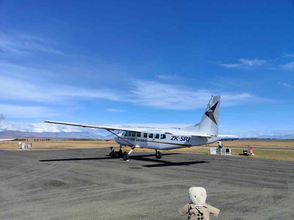
The weather was perfect – sunny, no wind and a few clouds and soon I was in the air in a group of sixteen tourists admiring some amazing scenery.

Our route headed up over Lake Tekapo…

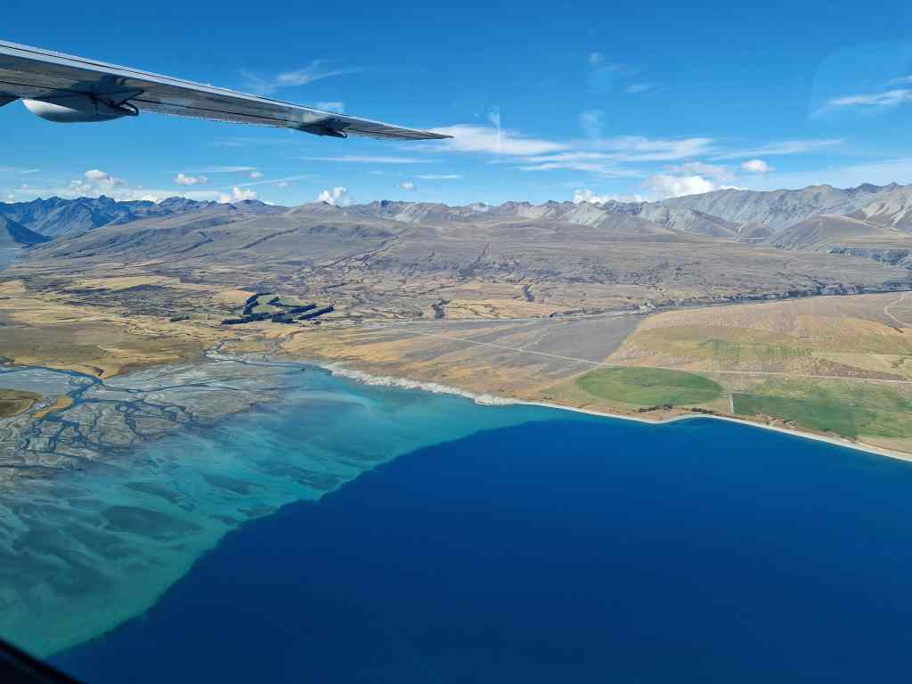
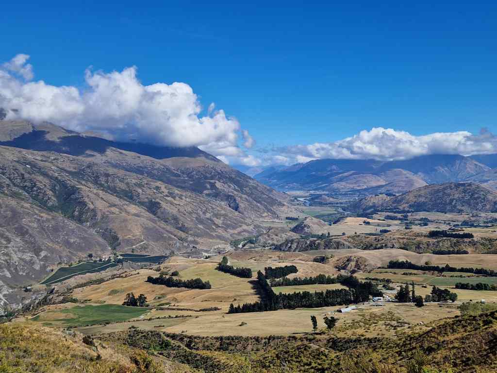
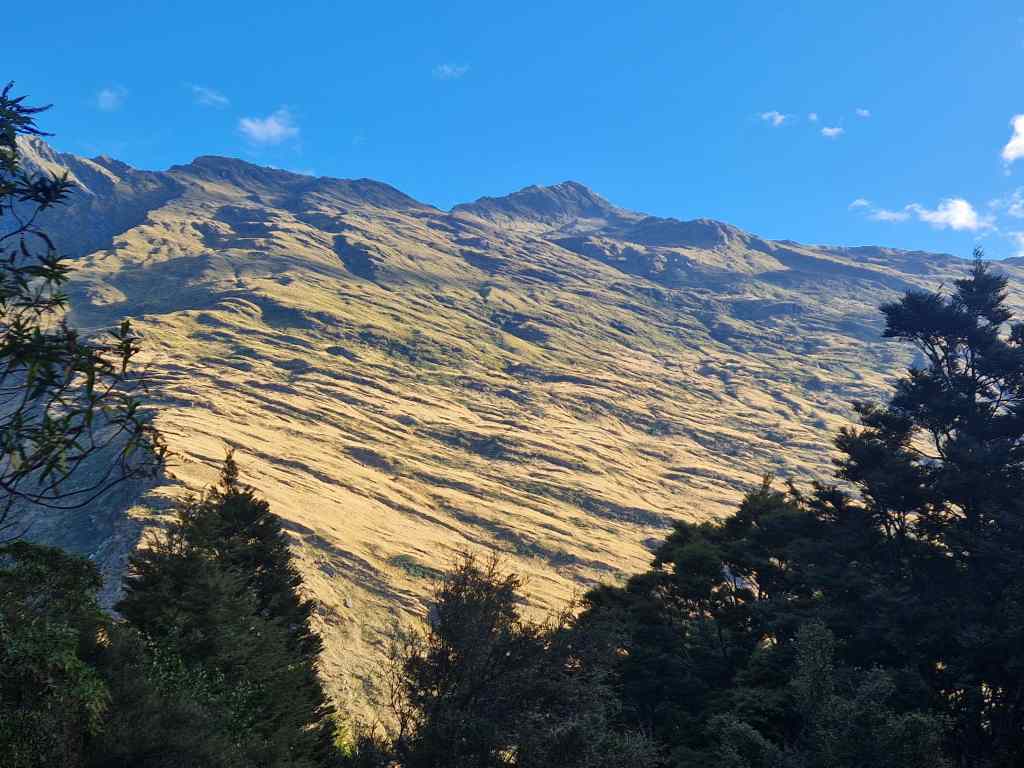
and then up a mostly dry river valley……

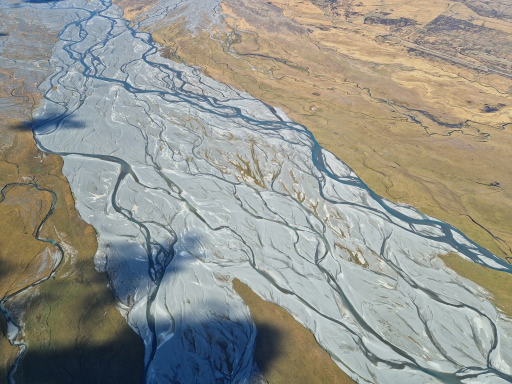
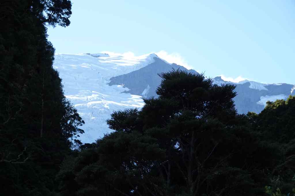
….lined with the foothills of the Mount Cook Range….

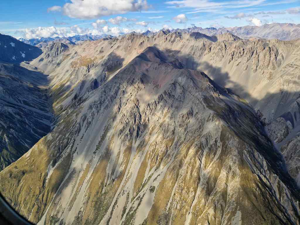
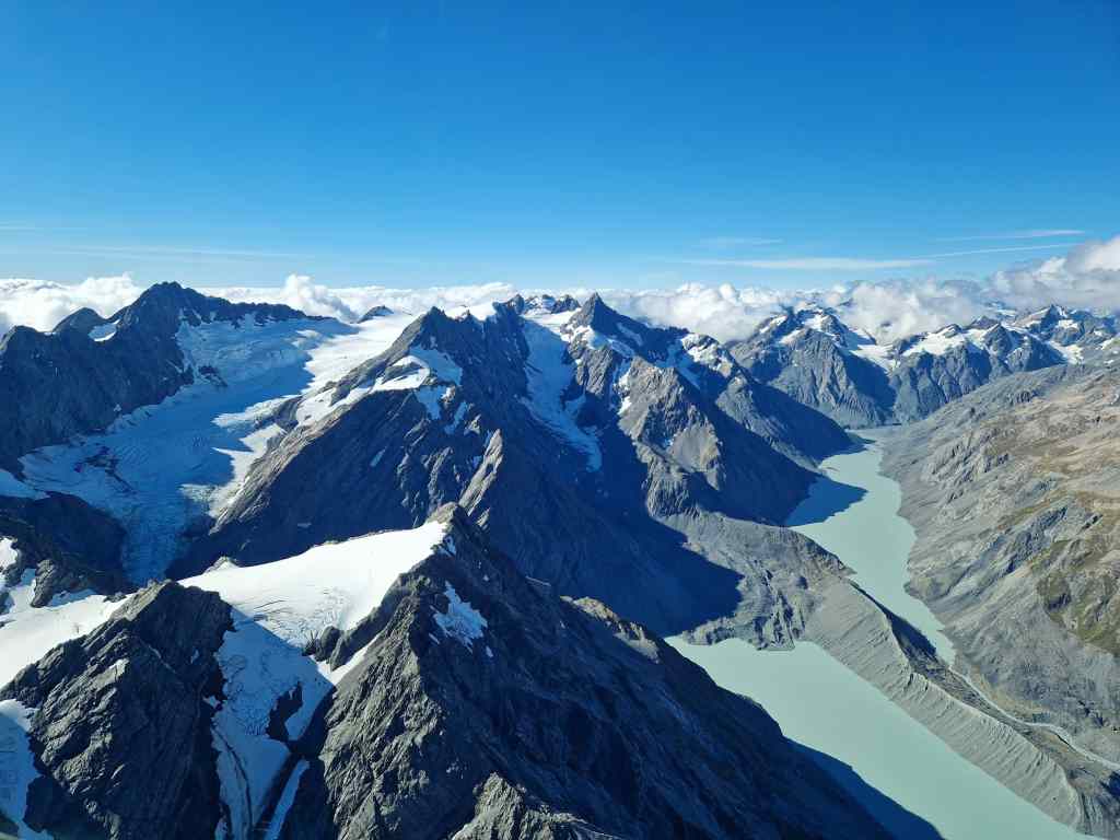
…to the glacial lakes I had seen on my previous walks in the area.

Glacial Lakes at the foot of the Mount Cook Range

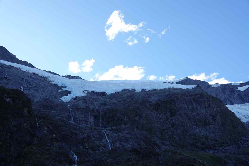
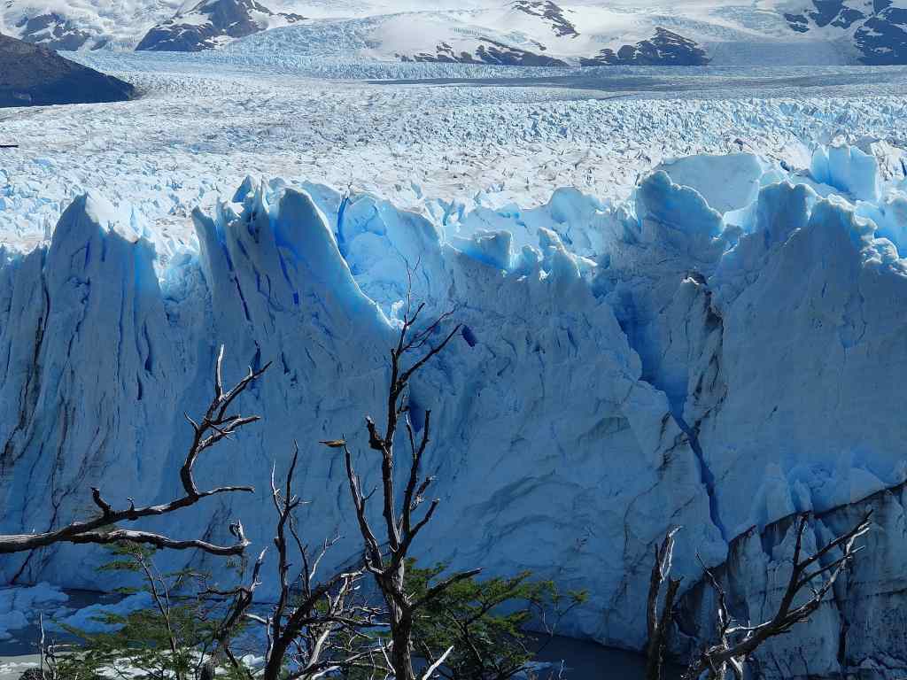
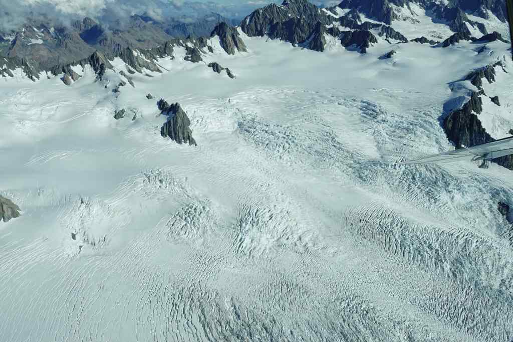
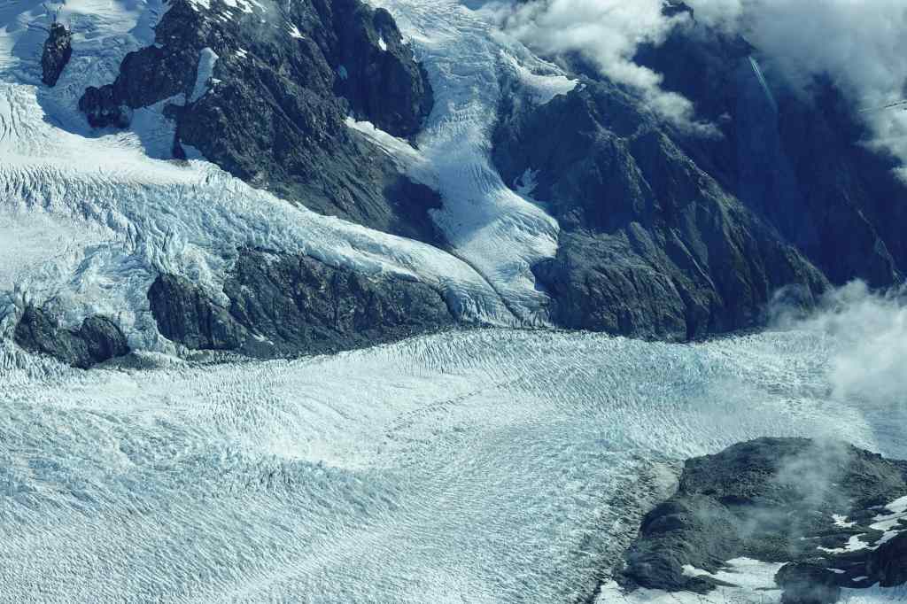
Then the plane flew over the huge snow fields on the top of the high mountains….

Snow fields feeding the glaciers

….that feed three huge glaciers – the Tasman glacier (the longest), which flows east, and then the Franz Joseph and Fox glaciers which flow the other way, almost reaching New Zealand’s west coast (which was covered with cloud during my flight).

The starting point of the Fox and Franz-Joseph glaciers
Franz-Joseph glacier descending to the South Island’s west coast

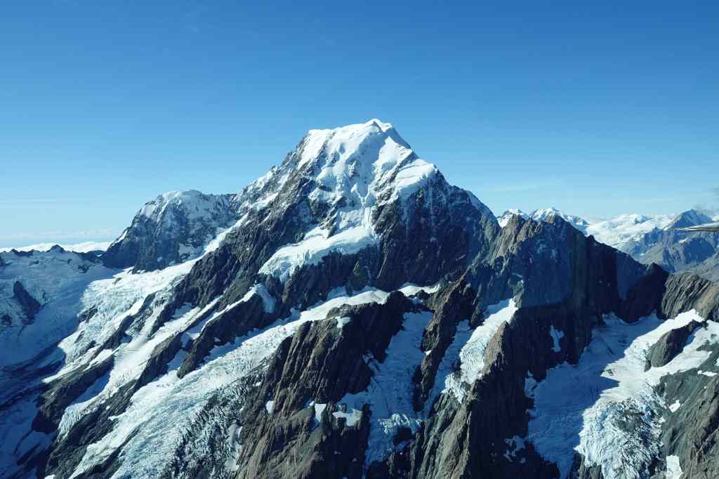
Then we flew past Mount Tasman, New Zealand’s second highest peak…….

Mount Tasman

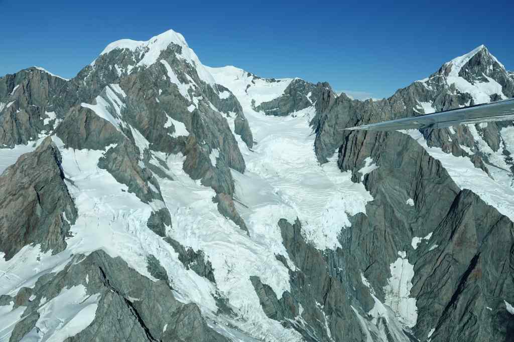
….before the pilot gave us a close up view of Mount Cook. It was a great way to remember the mountain that had followed me for the few two days.

Mount Cook

I am only a week in to my New Zealand holiday but I think I can already confidently say that the flight will be one of the highlights. My only complaint was that it was over all too quickly, and we were soon touching down at Lake Tekapo airport to reconnect with normal life.

The day had one last adventure in store. I spent the rest of the afternoon sorting out the hundreds of photos I had taken from the flight, before having dinner in a local restaurant. Later that night I headed out again to enjoy the night sky. Lake Tekapo is part of a “dark sky reserve” where light pollution is kept to a minimum – even the town’s street lighting is specially designed to project light only downwards. The organisation Dark Sky Project offers nighttime trips to observatories out of town to see a night sky almost untainted by artificial light; I wanted to book a tour but I was too late and they had all sold out. So instead, I headed to the town’s golf course, parked my car and looked up to see the magnificent spectacle of the Southern Hemisphere night sky. To my surprise, I even manged to take a few photos with my phone.

The diamond-shaped Southern Cross and the Milky Way

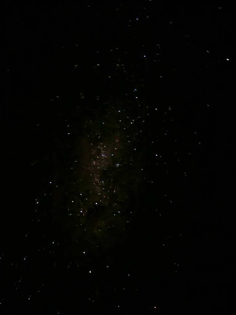
Stargazing was a great way to end a memorable and very varied day.

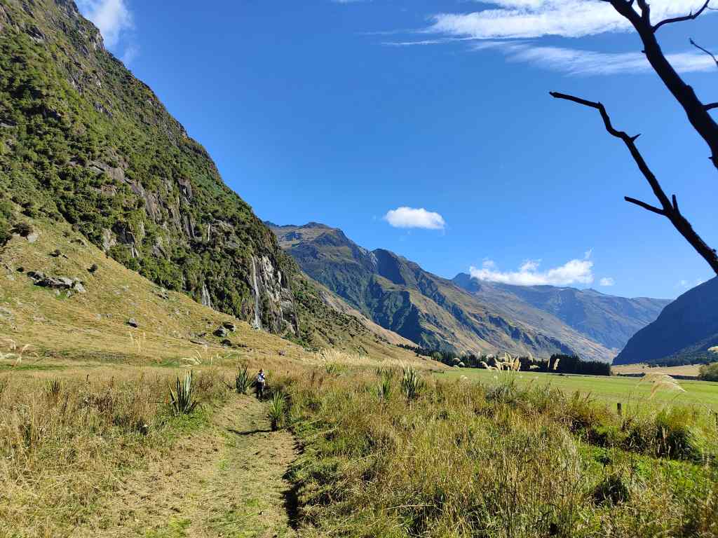
Previous Post: Mount Cook Hooker Valley Track

Next Post: Christchurch

Mount Aspiring and Wanaka

Today was a very full day, since I had to get from Te Anau in the south to Wanaka, in the middle of New Zealand’s South Island. On the way there was the usual pleasant New Zealand scenery, especially near Lake Wakitipu on the approach to Queenstown.

Lake Wakitipu, near Queenstown

I made a brief stop for a morning coffee at Arrowtown, a small gold rush town that time forgot. It has one main street with traditional old houses……..and lots of tourists.

Arrowtown’s main (only?) street

From Arrowtown, I continued my route north over the scenic Crown Range of mountains.

Crossing the scenic Crown Range

In the early afternoon I arrived at Wanaka, a popular tourist destination located on a lake. It seemed to be similar to Queenstown but on a smaller scale and more laid back. I found my B+B, quickly dropped my stuff and immediately set off again for the day’s main activity – a hike up to Mount Aspiring’s glacier. The road to get there was worth the trip in itself, and went through some beautiful countryside, with my destination often visible at the end of a long valley.

Mount Aspiring from a distance

On the way there were some road hazards typical of New Zealand….

New Zealand Road Hazard

Just before the starting place for the hike I made a short stop at the incredibly scenic Wishbone Falls, where water tumbled down from cliffs into a lush valley with rich vegetation.

Wishbone falls from afar….
…and close up, with rainbow

A few minutes’ drive further on from the waterfall was the end of the road and the car park for hikers walking to Mount Aspiring. The path was quite easy and went through even more beautiful countryside…

Mount Aspiring’s glacier beckons in the distance

….and then rose more steeply through a forest.

Ahead, the Mount Aspiring’s glacier played peek-a-boo with me as it ducked in and out of sight.

The glacier plays hide-and-seek

A final steep climb brought me to the upper viewing station, which gave an uninterrupted view of glacier in all its glory and about a dozen waterfalls falling from it. Unfortunately, since I had set off late, the glacier itself was in shade so my photos were a bit disappointing, but it was still an amazing sight.

Mount Aspiring glacier
Close up of the glacier
The glacier towers over the forest

The return trip brought out the positive side of my late start – the evening sun brought out wonderful colours in the mountains ahead of me. Sometimes I thought I was looking at a huge canvas of abstract modern art, painted with bold, broad brushstrokes on the cliffs.

Evening light, Mount Aspiring area
Clouds cast shadows on the mountains
Typical NZ hikers’ bridge

The drive home was just as beautiful as the outward trip, but looked quite different in the fading light. It had been a very good day and one of the best hikes I had ever done – alpine pastures, mountain streams, forests, waterfalls and a glacier all in the space of a fairly undemanding 11km walk. As a reward I treated myself to a very good dinner in one of the few restaurants still open in Wanaka by the time I got back, and contemplated the wonders of nature over monkfish and some excellent New Zealand sauvignon blanc.

Previous Post: Milford Sound

Next Post: Mount Cook and the Hooker Valley Track

El Calafate and Glacier Perito Moreno

Today, I had originally planned to do a short hike and then drive back to El Calafate. But the weather forecast was poor, and every trail had a minimum distance of 16km. Instead, I left early, reached El Calafate at noon, and after checking into my hotel drove to see one of Patagonia’s other highlights – the Perito Moreno Glacier. It was located 80km west of the town and I got there in the early afternoon. From the car park, there was the option of a shuttle bus to the main glacier or a path running along the side of a lake.

I chose the path and was very lucky – the weather had been cloudy and dull, but as soon as I set off, the sun came out. I turned a corner to be greeted with an amazing view of a blue wall of ice gleaming in the afternoon sun.

First glimpse of Perito Moreno Glacier – a wall of blue ice

The path – on a raised walkway made of metal – brought me closer and closer to this incredible sight. There were frequent viewing platforms, each giving a slightly different perspective.

As you get closer, Perito Moreno is more and more impressive

The park has several trails, all on walkways. Most visitors seemed to stay on the “yellow” path, where the shuttle bus drops them off. This left the more remote blue and red paths nearly empty, and I spent several hours exploring and taking photographs. 

Up close to Perito Moreno
Wall of Ice – Perito Moreno

From time to time there was a cracking sound as the ice blocks in the glacier moved. The ice advances about 2 metres per day. Fresh ice from the mountains pushes the older ice further down the valley, until it reaches the lake where the warmth of the sun and the water causes it to fracture and break off (“calving”) as small icebergs. I saw – but was too slow to film – some smaller pieces of ice break off and crash into the lake below, with an impressively loud splash.

After a few hours, the clouds returned, and it started to rain lightly – although the Patagonian winds always mean that even light rain always turns into something much more unpleasant. The temperature dropped abruptly. It is hard to dress properly for the weather in Patagonia. When the sun is out, with no wind, it is hot.  When it is windy and sunny, it is cold. When it is cloudy and windy, it is very cold. And when it is windy and raining, it is unpleasantly freezing. 

It was time to leave for today, but I returned on the following day to see the glacier in the morning light.  The views were even better…….

Perito Moreno on Day 2
Perito Moreno seen through a forest
More stunning views of the glacier…the morning this time

I noticed that all the ice formations I had noticed the day before had disappeared, to be replaced by new ones. A couple of large icebergs floated in the lake – calving events that must have happened after I had left the day before.

An iceberg that had formed overnight

I found a platform on the “red” trail in front of some rickety-looking ice structures and sat and waited, hoping for a big chunk of ice to fall for me. But my ice remained annoyingly solid, and my patience eventually ran out. I headed back to my car, having spent a total of six hours looking and filming the ice over two half-days. Back in my hotel I admired the hundreds of photos I had taken and started the difficult job of sorting them, before strolling around El Calafate. It was a very pleasant small town, fully dedicated to serving the many tourists that come to visit Patagonia. I had dinner in a craft beer brewery with more excellent Argentine beer and a burger.

My stay in Patagonia had two last twists. On the way to the airport the next morning I was greeted by a very unexpected sight.

? Surely not….
Yes! Flamingos on Lake Argentina in Calafate

I reached the airport, boarded my plane, and was treated to one last view of Mount Fitz Roy as we took off….

View of Mount Fitzroy

I left Patagonia with a heavy heart. It was incredibly beautiful, with three world-class sights within close proximity of each other – Torres del Paine, Mount Fitz Roy and Perito Moreno. The town of Calafate is named after a blue berry found in the area. Legend has it that if you taste the calafate berry, you will return to Patagonia. I had tried a “Pisco Calafate” cocktail one night. I think the legend might be right.

Next Post: Foz Iguazu

Previous Post: Mount Fitzroy and El Chalten

Blog at WordPress.com.

Up ↑