My previous post covered the last full day of sightseeing I had in Namibia. The next day I woke early to see the rising sun casting long shadows over my lodge.
Next, I revisited Fish River Canyon briefly in the morning….
Early morning at Fish River Canyon
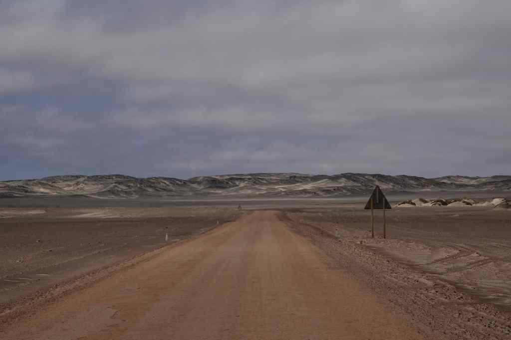
…before making a rather boring six hour drive north, to a lodge near a town called Mariental. This was not a destination in itself, but a convenient place to spend the night on the long, long way back to Windhoek. Now I know why Fish River Canyon is so little visited – it is so far away from anywhere else. Namibia’s B1 is surfaced, flat and fast, but must be one of the most boring roads on the planet. The “highlight” of these six hours was finding a Wimpy restaurant at a service station – I though they had died out, but apparently they still thrive in Africa. The décor was wonderfully sixties kitsch.
I thought it was extinct…..Wimpy lives on in Africa
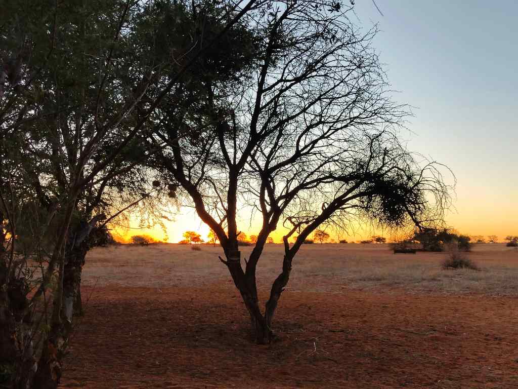
I finally arrived at around five, having driven all day (or so it seemed). I had originally intended to go on the lodge’s “sundowner” game drive, but since I was tired, I decided instead to spend my last night in Namibia sitting on the big swinging chair on my balcony, and watch the sunset with a good glass of wine.
Watching the sunset over the Kalahari desert
The next morning, I got up early and continued the road to the north – another 3 ½ hours – to Windhoek airport, to catch my early afternoon flight to Cape Town, where my adventure will continue. On returning my hire car, I found out that in 20 days I had driven over 5,000km – at an average speed often limited to 70km/h by Namibia’s gravel roads. Namibia has many world class attractions, but getting to them requires a big investment in time.
Be prepared for lots of this driving around Namibia…..
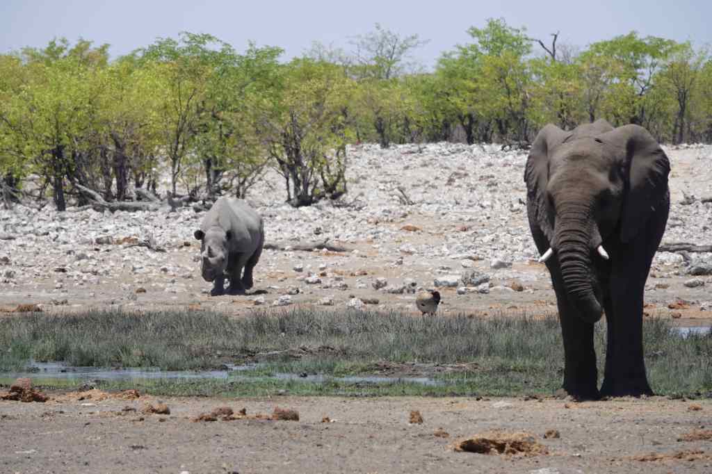
So that was the end of my Namibia trip – now I am off to South Africa for more adventures. It’s time to share a few photos of the highlights. First, there was the wonderful park of Etosha and its wildlife…..
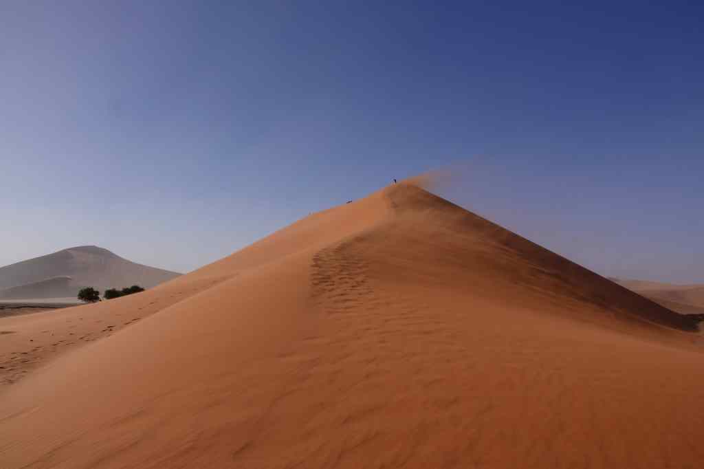
Namibia’s next world class attraction are the dunes of Sossusvlei
Sossusvlei!
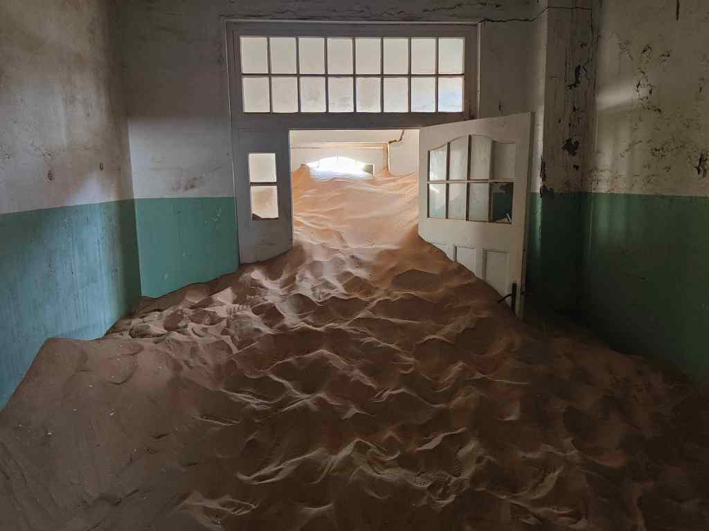
I will also always remember Kolmanskop, as a symbol of the power of nature over man……
The irresistible force of nature at Kolmanskop
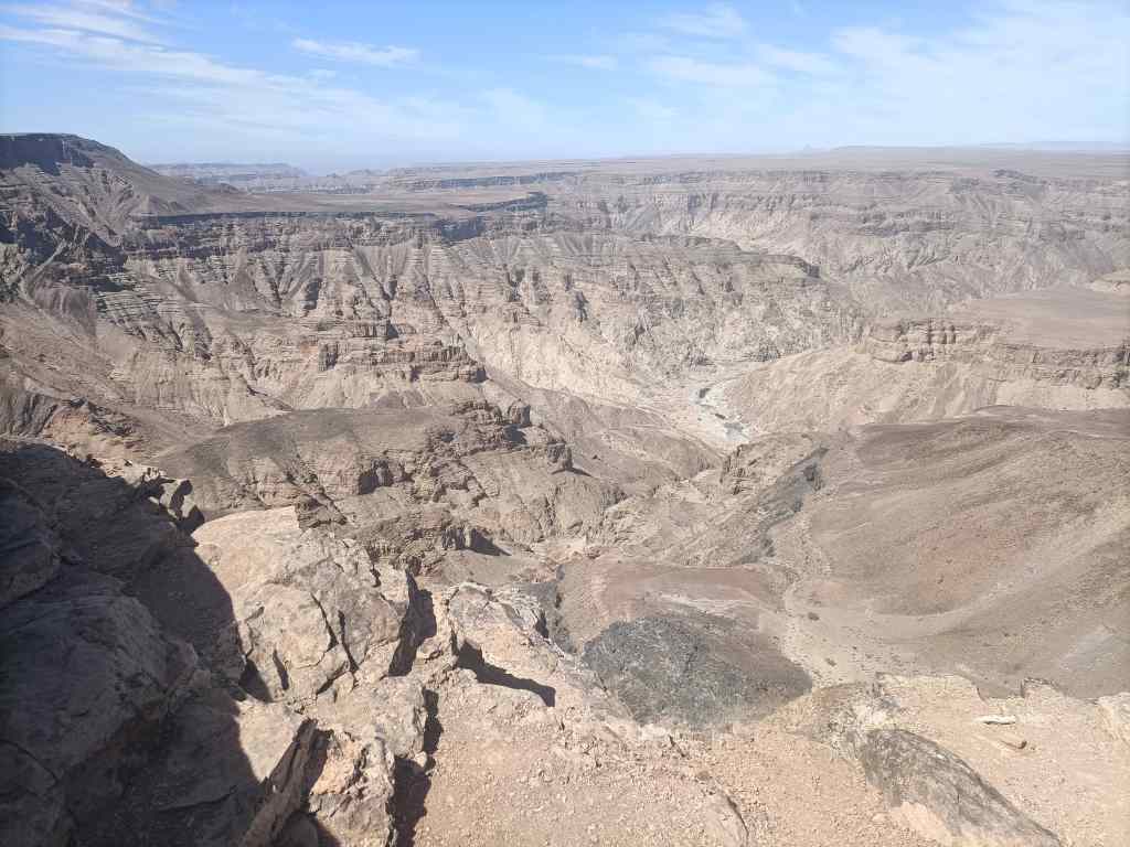
….and my solo drive down to Eagle’s Rock in Fish River Canyon. It is not often you get a view this like all to yourself.
Eagle’s Rock, Fish River Canyon
I was keen to see if South Africa can match Namibia as a travel experience. Keep reading my blog to find out!
Today was day sixteen of my tour around Namibia and it saw me return to traditional sight-seeing. My destination was Fish River Canyon, the world’s second largest canyon (after the Grand Canyon in the US) and one of Africa’s most impressive – and least visited – natural wonders. It was located a short drive from my lodge. First, I drove to the main viewing point, where there was an information display and a few other tourists taking in the awesome view.
The main viewpoint at Fish River Canyon
Fish River Canyon is 160km long, up to 27km wide and 550 metres deep. It was formed initially by a rift between the earth’s plates and then was deepened by the action of glaciers during the Ice Age 300 million years ago. For the last 60 million years the canyon has been deepened further by the flow of the Fish River – although in the dry season, the river is reduced to series of ponds of stagnant water.
I enjoyed the main viewing area for a while and then set off to the “Hiker’s Viewpoint”, for an alternative perspective. This was the starting point for a tough, 5-day, 80km hike covering the deepest and most impressive parts of the canyon. A steep path led down, marking the start of the trek. Once in the canyon, walkers have only two further emergency exits up steep cliffs before the end of the hike 80km away. Prospective hikers must register months in advance, be prepared to be totally self sufficient for 5 days, and produce a medical certificate attesting to their fitness before setting off.
The “Hiker’s Viewpoint” and main path down into the Fish River Canyon
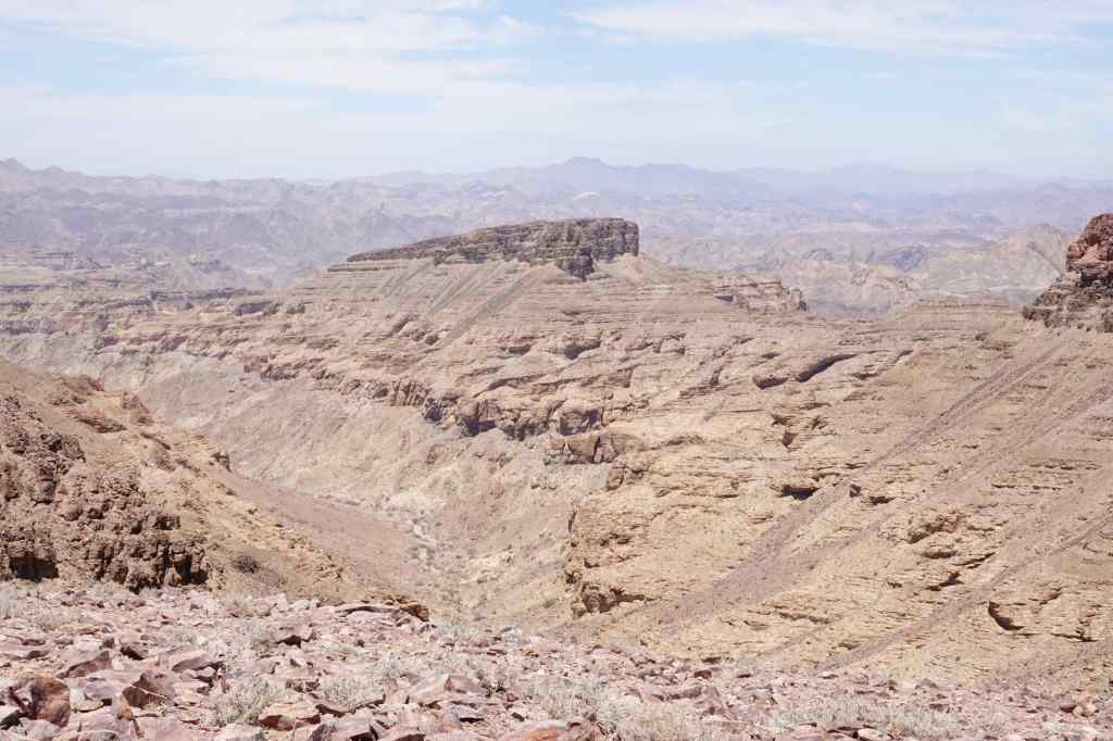
From the Hiker’s Viewpoint I retraced my steps and then found a track heading south along the canyon edge, which I had missed earlier. The track was totally unmarked, and very few other visitors seem to have found it; without my guidebook, I would never have known it was there. After a few km it stopped at another viewpoint, where I had the views completely to myself.
Sulfur Springs ViewpointMore Fish River Canyon views
From there, another very rough track, suitable only for 4×4 vehicles, led further south. After another thirty minutes it led to the final viewpoint – Eagle Rock – which was perhaps the most impressive of all. I sat there for around thirty minutes, making sure I was fully rewarded for the effort of getting there.
Eagle Rock Viewpoint
On the drive back I passed one other car struggling to reach Eagle Rock – maybe the place gets ten visitors per day, for one of the world’s best views.
Back on the main road I headed south to Ai-Ais, a name that means “burning water” in the local language, where there are some hot springs, a government-run resort, and the place where the 80km canyon hike finally ends. I walked a short distance down the hiking route to see what it was like. To me, it was a rather unexciting dry sandy riverbed, and must have been an anticlimactic way to end an epic hike through the world’s second biggest canyon.
Must be an uninspiring end to an 80km trek…
I ended my visit at a big swimming pool filled with warm water from the hot springs. A group of schoolchildren kept me amused with their games.
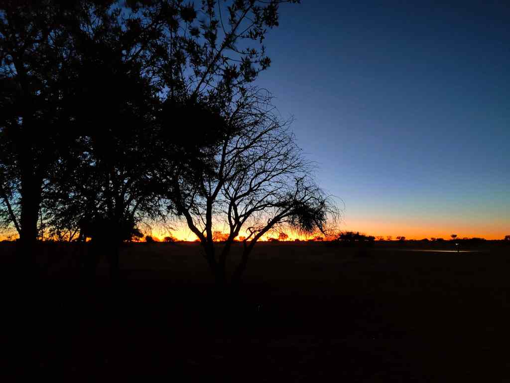
Suddenly, I realised that apart from the people serving me in restaurants and hotels, I had hardly met any local black people. The owners of hotels and businesses had all been white, and my fellow travellers were all white. The legacy of Namibia’s colonial times lives on, even if today’s government is trying to improve the lot of poor black majority. I reflected on this thought whilst enjoying yet another glorious African sunset back at my lodge.
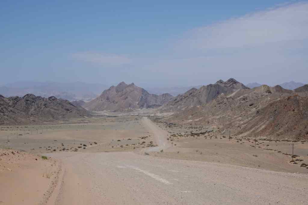
Today I had one of these long drives that had become typical of my holiday in Namibia – from Luderitz in the southwest corner to Fish River Canyon, in the south. There was a direct – and rather dull looking – main road that could take me most of the way there. But since I had already travelled part of this, I decided on a detour around the southernmost part of the country, the border with South Africa.
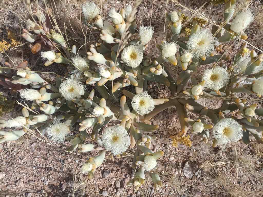
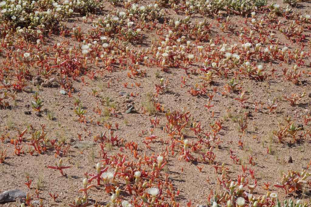
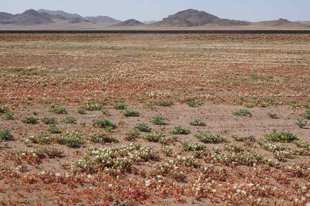
Shortly after Luderitz, I had a pleasant surprise – on either side of the road was a carpet of flowers. They are only visible in the morning, and close during the afternoon sun, so I had missed them on the way here. They stretched away in all directions as far as the eye could see.
White flowers….Red flowers….As far as you can see
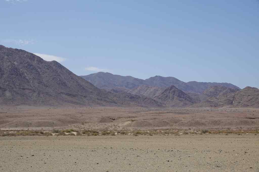
I stopped for a very good coffee at a town called Aus and decided to fill up on fuel. It was a lucky decision, since the station at the next town, Rosh Pinah – some 170km away – had run out of diesel. Rosh Pinah is a major centre for Namibia’s mining industry, and well off the main tourists routes. It had a similar feel to Luderitz, with many unoccupied people lounging around on the streets and looking at me with curiosity.
Near Rosh Pinah – typically dry Namibian scenery
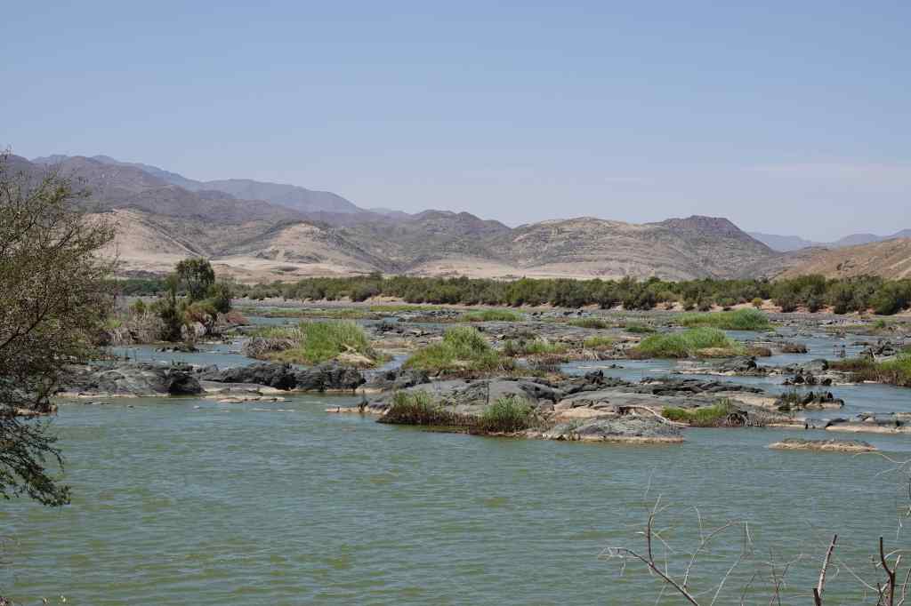
From Rosh Pinah the road headed east, following the Orange River, which marks the border with South Africa. It was dry season and the river was low, but it was still the first running water I had seen during all my time in Namibia. The road was empty, and passed some nice scenery (green for a change!) and a few shuttered camps offering kayaking excursions.
50km further on – the Orange River, the first running water I had seen for two weeks!
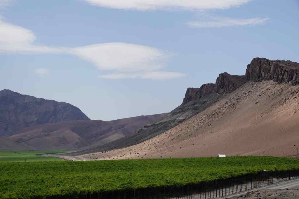
After enjoying the scenery along the river, I arrived at a huge vineyard just outside the town of Aussenkehr.
A huge vineyard on the Orange River
I had been on the road for six hours, and was tired. I ventured into the town in search of coffee but could only find a big branch of Spar where I bought a Red Bull. Most of Aussenkehr was a shanty town consisting of small shacks made of corrugated iron, and again groups of people hung around the shopping area and stared at me. At this place far from the tourist route, I had discovered the reality of Namibia for the majority of its people, and it’s a good time to talk a bit about the country and its history.
Aussenkehr’s shanty town
Before the Europeans arrived, Namibia was a typical African country settled by many different tribes – such as the Herero and the Nama – each with their own language and culture. They scraped an existence by farming or hunting in the country’s harsh, dry environment.
The country was largely ignored by colonial powers until the late 19th century – from the sea, the Namibian deserts looked inhospitable and unpromising territories. Then in 1883, the German trader Adolf Luderitz bought an area in the southwest of the country (around the city that bears his name today) from a Nama chief. He then persuaded chancellor von Bismark to declare Namibia a German territory. Colonial rule of Namibia was particularly brutal, even by the standards of the time, and culminated in what was possibly the world’s first attempted genocide (of the Nama and Herero peoples).
During the First World War, South Africa (allied to Britain) conquered the German colony of Namibia and proceeded to “administer” it – in practice, exploiting the country’s resources and its people. Eventually international pressure, UN resolutions and an armed struggle persuaded South Africa to grant Namibia independence – but only in 1990. Since then, the young country has done better than many other African countries, remaining a stable democracy and slowly addressing its many problems.
One of the most pressing issues facing Namibia is unemployment, which is around 20%. This is why there were so many people hanging around Namibian towns like Luderitz with nothing to do. Another problem is huge inequality and widespread poverty – many people are very poor, and live in shanty towns like the one at Aussenkehr. On the usual tourist circuit, visitors are insulated from the reality of life in Namibia for many of its people. You go from one nice lodge to the next, eat good food and drink good wine.
From Aussenkehr the road headed north across an especially featureless landscape, devoid even of plants.
The lunar landscape approaching Fish River Canyon
The landscape had a certain barren beauty, and further north, hinted at the spectacular Fish River Canyon that lay just out of sight behind the mountains – which I would see the next day. But I was tired, and after eight hours on the road, I was relieved to arrive at my destination – yet another stylish tourist lodge. I had found my excursion around the far south of Namibia and my brush with real life interesting, but was glad to be back on the comfortable tourist circuit.