From Picton to Wellington

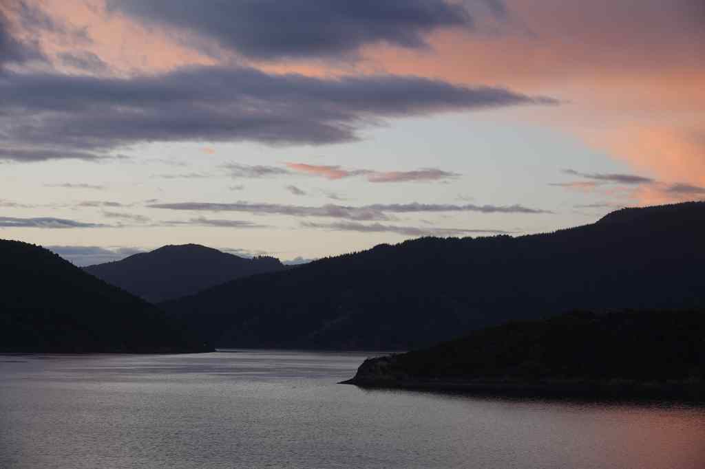
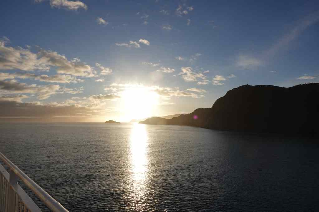
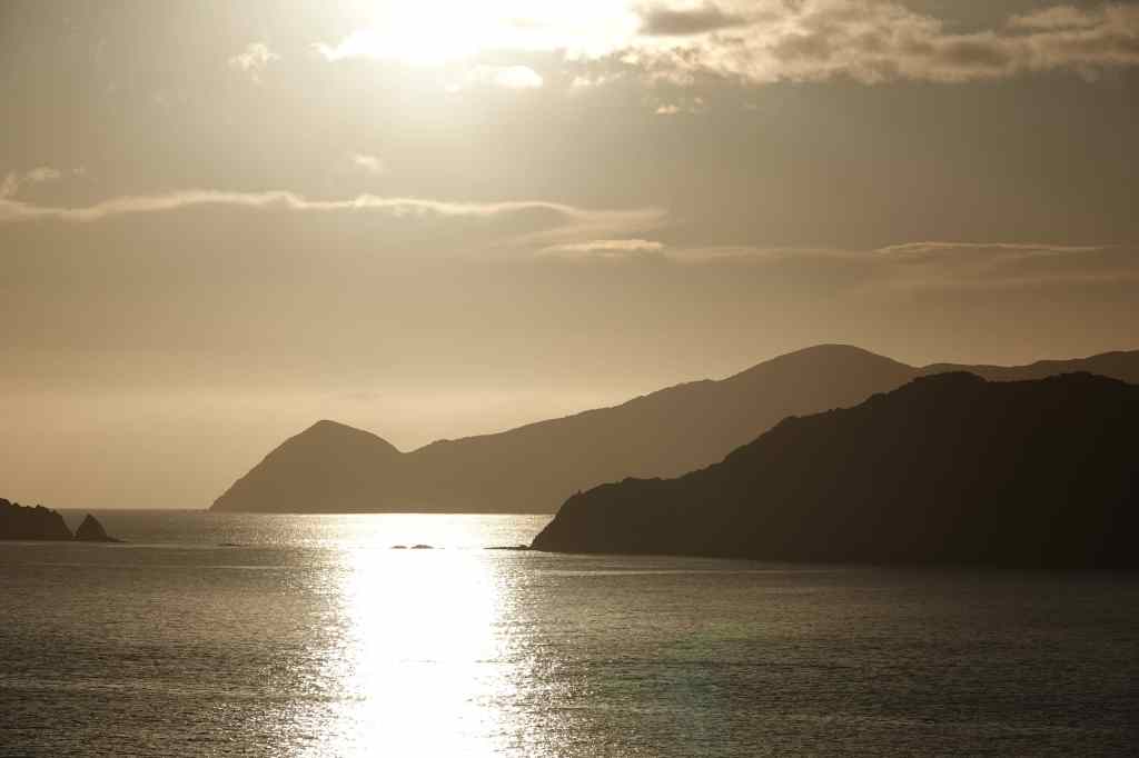
This morning I had to get up unreasonably early to check in for my ferry across the Cook Strait from Picton on the South Island to Wellington on the North Island. I had booked a crossing at 09.30 but the ferry company brought this forward to 07.30 and also required that I turn up at least sixty minutes before to check in, so I had to sit for an hour in the dark in a queue of cars waiting to board. The ferry was not full and after boarding I had lots of space to sit and relax in front of a large (and – shame on Interislander Ferries – also dirty) viewing window in the passenger lounge. We set sail just as the sun began to rise and I went out on deck to get some last views of Queen Charlotte Sound.

Just before sunrise in the Marlborough Sounds….
…and at sunrise….
…and after…
…and a lighthouse on the North Island near Wellington

After three and half hours of sailing we arrived in Wellington, the capital of New Zealand and its third biggest city – albeit with a population of only 212,000 people. My accommodation was in a pretty villa in the scenic and historic Thorndon area of the city.

My accommodation in Wellington

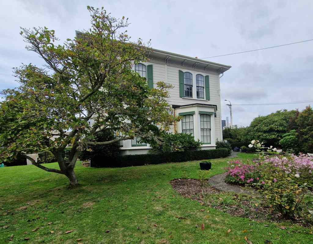
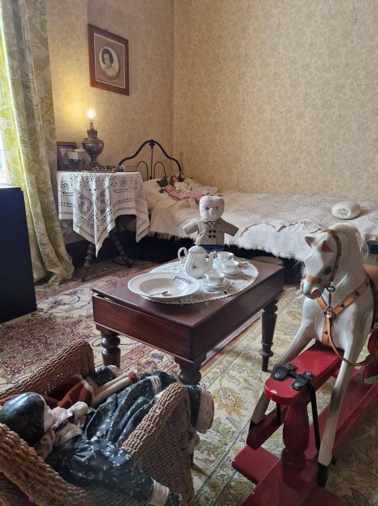
Right next to my accommodation was a similar house, which hosted a museum devoted to New Zealand writer Katherine Mansfield.

In the Katherine Mansfield Museum, Wellington

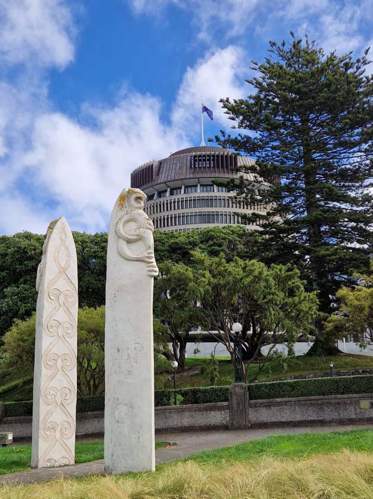
I made a brief visit before strolling into the city centre. My walk took me past the “Beehive” – part of a complex of government buildings which houses the offices of the prime minister and cabinet ministers….

The “Beehive”, Wellington

…..and then further on to Wellington’s pleasant waterfront.

Wellington’s waterfront taken from Te Papa Tongarewa

There I checked out the Museum of New Zealand or Te Papa Tongarewa, dedicated to the history, wildlife and geology of the country. Amongst many other things, I was surprised to learn that the Maori only discovered New Zealand about 800 years ago, probably on boats from the South Cook Islands further north – and that it was the very last large land mass to be settled by humans. The museum had a large exhibit about a very special part of the country’s history – the signing of the Treaty of Waitangi between the British government and 500 Maori chiefs. It gave the British sovereignty over the islands in return for protection of the rights of the Maori. However the treaty was, perhaps deliberately, poorly translated with big differences between the English and Maori versions, leading to confusion and conflict.

Maori exhibits in Te Papa Tongarewa

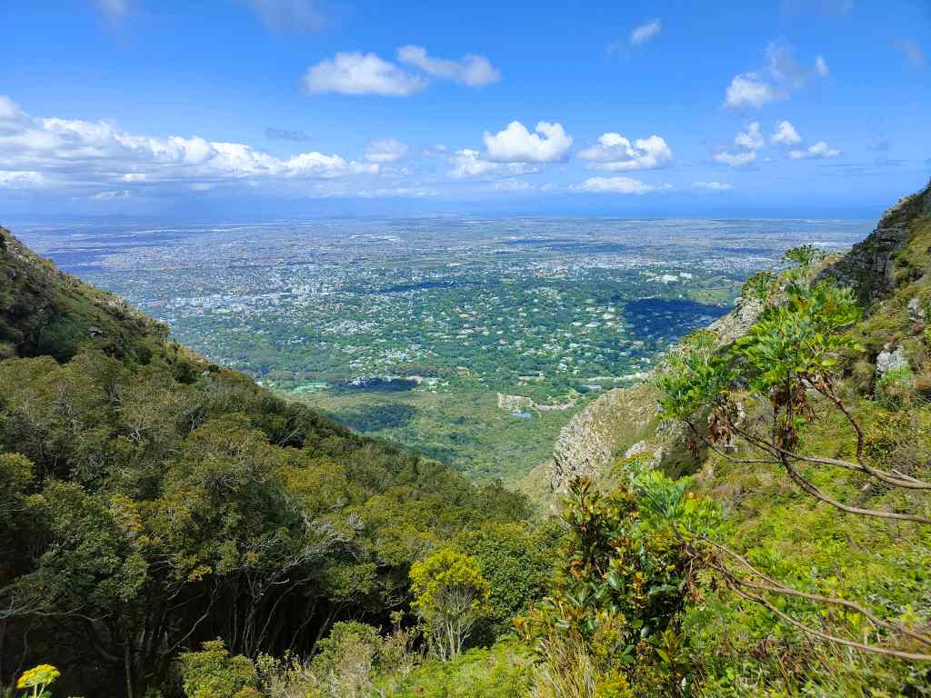
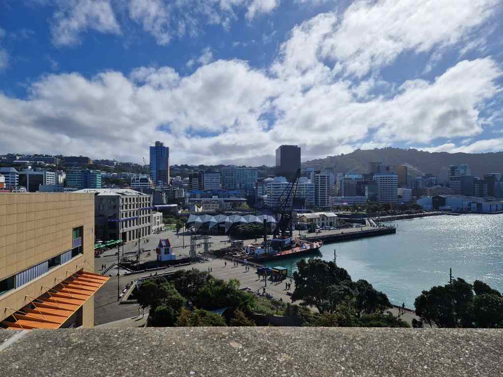
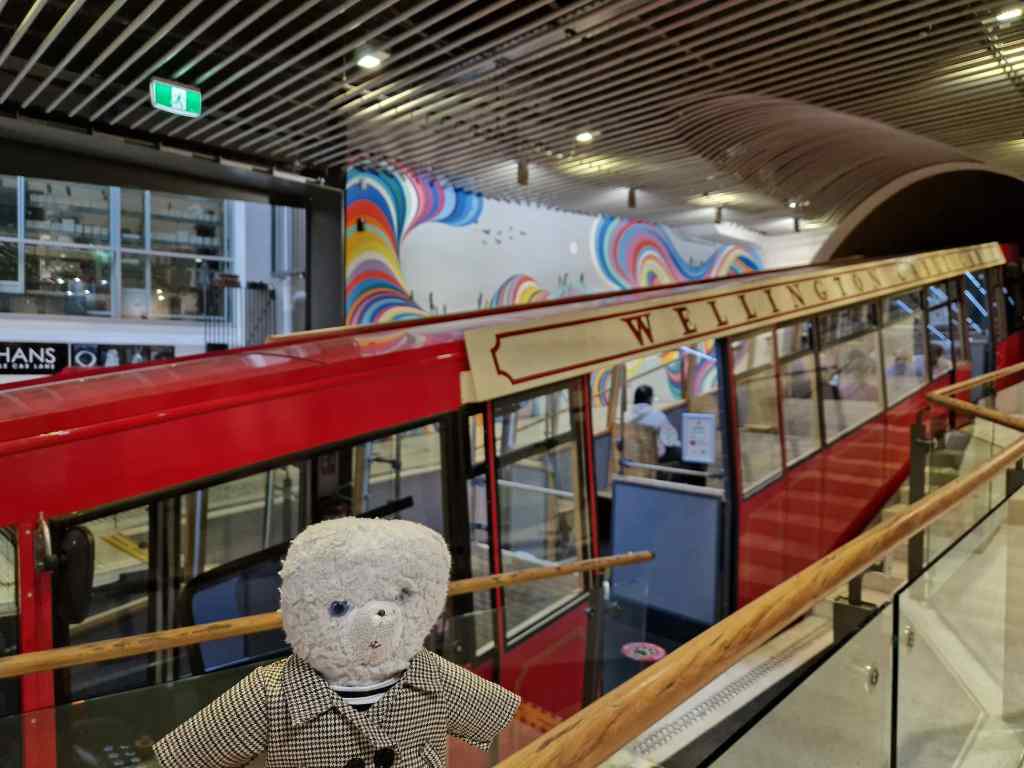
From the museum I followed a traditional tourist route, taking a cable car up to the steep hill dominating the city. The café on top offered an excellent view of Wellington.

Wellington’s touristy but fun cable car
…and the view over Wellington from the cable car station

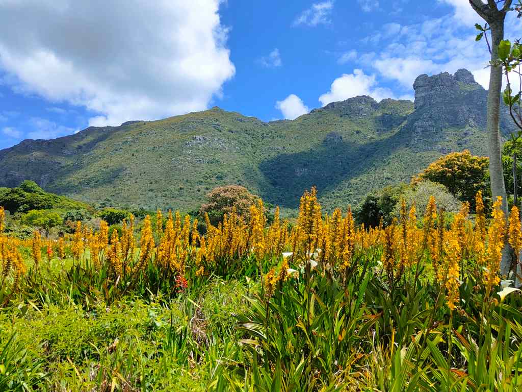
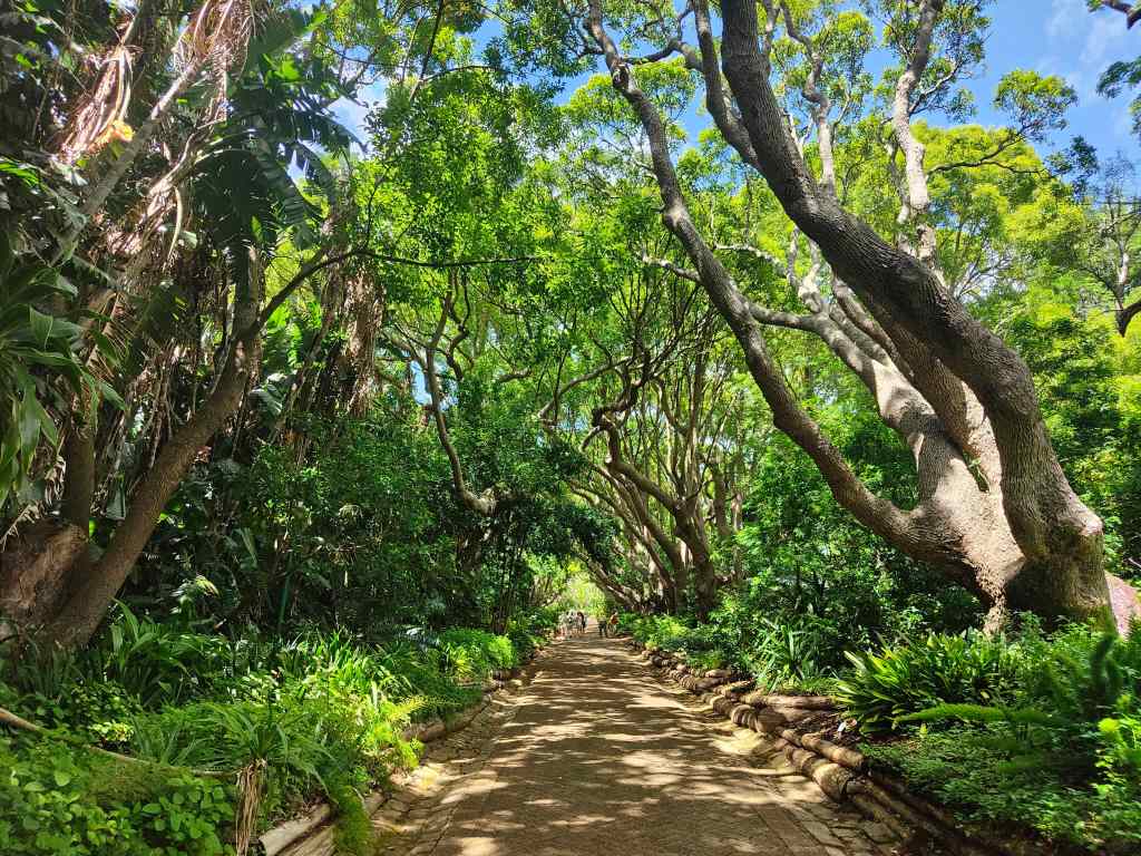
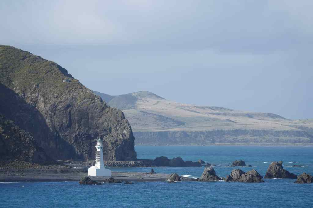
From the top of the hill, I strolled down through the city’s pretty botanical gardens and then through the suburb of Thorndon back to my house. Despite the very early start it had been a good day – and after two days of rain it was a pleasure to see the sun again. Wellington had been an interesting stop – one of the smallest capital cities in the world, with a wonderful setting, a world class museum and the laid-back vibe typical of a minor provincial town in most other countries. Plus I had finally taken some good pictures of the Marlborough Sounds!

Next Post: Taupo

Previous Post: The Marlborough Sounds and Abel Tasman Park

Cape Town – Kirstenbosch Gardens and Table Mountain

Today my original plan was to visit the Botanical Gardens and then explore the City Bowl area of Cape Town’s centre. I reached the Kirstenbosch Gardens without problem by taxi. They are among the oldest botanical gardens in the world, being founded in 1903, and sit in a magnificent setting at the foot of Table Mountain.

Kirstenbosch Gardens have an amazing location
Kirstenbosch Gardens Cape Town

The gardens showcase a collection of typical South African flora, of which I particularly liked the cycads.

A cycad, a type of plant that first appeared when dinosaurs roamed the earth

They also had some pretty walkways, shaded by trees, that provided protection from the hot morning sun.

A shady walkway, Kirstenbosch Gardens

When I reached the eastern edge of the garden, I saw an intriguing sign to “Skeleton Gorge”. I remembered that this was one of routes to climb Table Mountain. It was not part of my plan for the day, and I was not equipped for walking, since I had town shoes on my feet, and no cold weather clothing. But despite the lack of preparation, I could not resist and set off on a path that led steeply upwards.

At the top of Skeleton Gorge

After climbing fifty minutes, I reached the “table” of Table Mountain – the place where the ground becomes flat(tish). There were great views back over Cape Town, and an intriguing small lake surrounded by sand.

Table Mountain is home to a small, sandy lake

I had more walking to do – first another forty minutes to find the highest point on the mountain, Maclear’s Beacon, and then another forty minutes to the upper cable car station. The weather had become cloudy, but the sun broke through occasionally to light up more amazing views and stop me getting cold. There were also lots of pretty flowers, including some proteas.

View from Table Mountain
On top of Table Mountain – pretty flowers, amazing views…
…strange rock formations
table mountain view over Cape Town
…and more views. It was getting cold…

At Maclear’s Beacon, the clouds became thicker and a strong wind gusted. I knew I was not equipped for such conditions and hurried onwards, occasionally stopping to take some atmospheric photos of the scenery.

Table Mountain view
More jaw-dropping scenery

I finally reached a crossroads, at a place I knew was near the cable car station. The signs were not clear, and the mountain was now covered in thick mist. I took what I thought was the right path, but it continued for longer than I expected, finally reaching a sign saying “This is not an easy way down”. I was cold and confused but was saved by two girls walking up towards me. They told me that this was the “Indian Fenster” route, which had been a tough climb for them and would be an even harder descent for me. I had gone the wrong way. I retraced my steps with the girls and found the junction where I had gone wrong earlier. This time, I could just make out another path in the mist. It was lined with posts and chains, and had to be the way to the cable car. I jogged along to warm up a bit, and on arrival headed straight to the café to order a hot chocolate.

The ride down in the cable car gave more opportunities for photos. The cabin had a revolving floor, so that everyone could get to see the full range of views over Cape Town and back to the mountain itself.

view from cable car, descending Table Mountain
Table Mountain cable car
View from the cable car, going down from Table Mountain

Back at ground level I stood in the sun for a bit to warm up, and then ordered a taxi back to my flat. It had been a memorable day, even if I had to have a long hot shower to recover from the cold weather on the mountain. My visit to Kirstenbosch and Table Mountain had confirmed that Cape Town is indeed one of the world’s most beautiful cities.

Next Post: Three Different Faces of Cape Town

Previous Post: Hermanus Whale Watching

Blog at WordPress.com.

Up ↑