Today, I was feeling lazy after my race around Mull the day before. A storm was forecast for the afternoon, so I decided to spend the morning making a short walk around Glengorm Castle, an imposing property near Tobermory, before shopping for cheese at a local farm. I also bought some asparagus and venison salami. I reserved the afternoon for enjoying my cottage and writing my blog.
Glengorm Castle
The storm was forecast to last a whole 24 hours, and I was a bit worried that the ferries would be cancelled, and I would be unable to travel to Skye the next day as planned; Mull is completely dependent on its ferry services. But in the end the storm never materialised – it was a bit windier than usual in the afternoon, but from my window I could see that ferries were still sailing in the Sound of Mull. My trip to Skye would be OK. The weather was even nice enough to venture outside for another look at picturesque Tobermory.
Tobermory
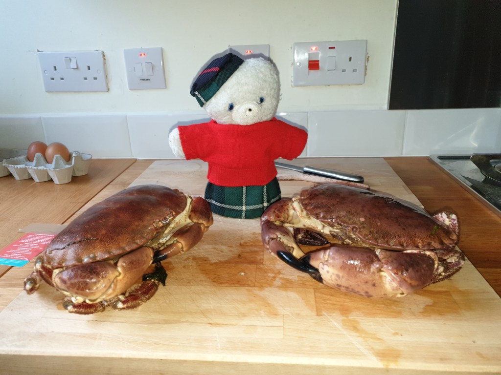
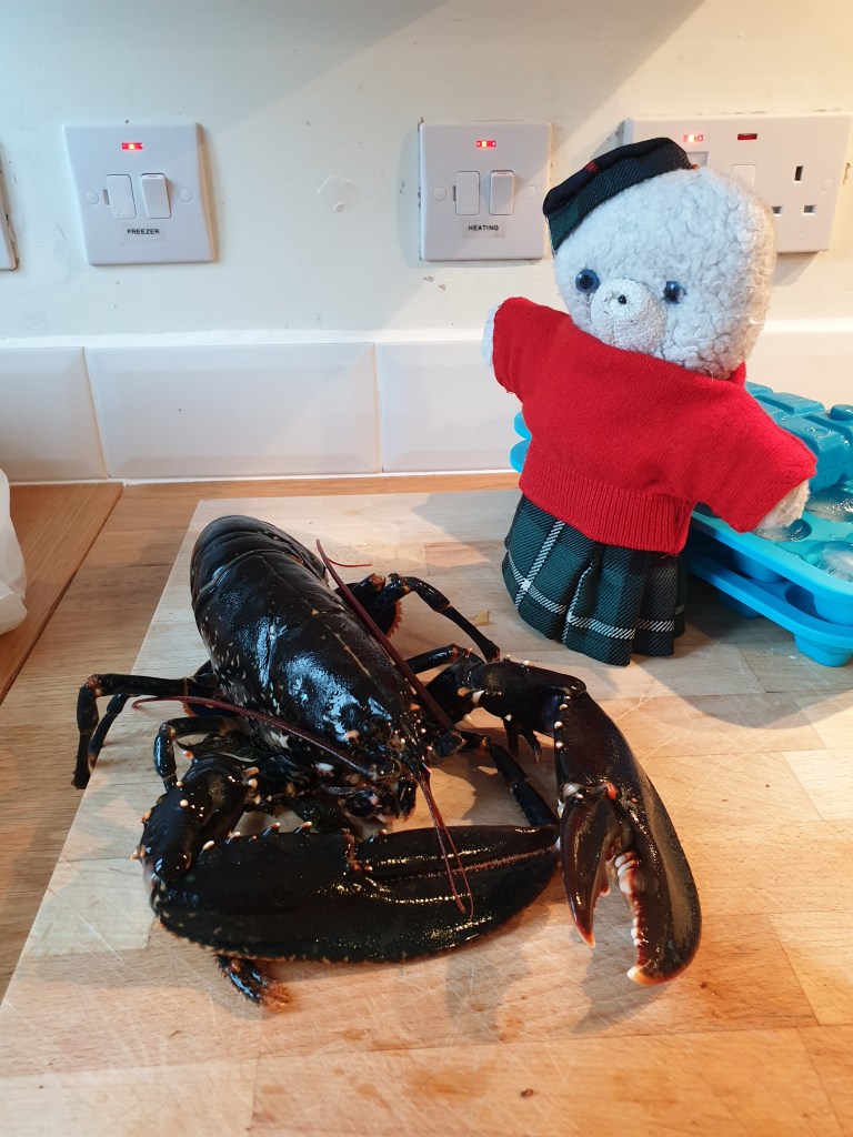
In the evening I cooked the two crabs that I had bought yesterday. They were enormous, so I had one for dinner and made crab sandwiches with the other for my lunch the day after.
Too much for a small teddy
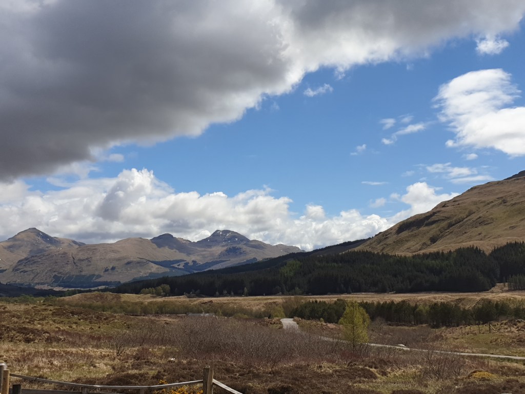
The next day I got up early to queue for the ferry from Tobermory to Kilchoan, a tiny village on the Scottish mainland. The forecast storm had not arrived, and the crossing was uneventful. The weather was cloudy with occasional rain, giving a completely different feel to Scotland – impressive and melancholy rather than pretty. The route from Kilchoan was on a narrow, single track road. First, it ran along a mighty loch with impressive views of distant mountains. I stopped for coffee and then for my crab sandwich lunch, enjoying the view.
On the road from Kilchoan to Fort William
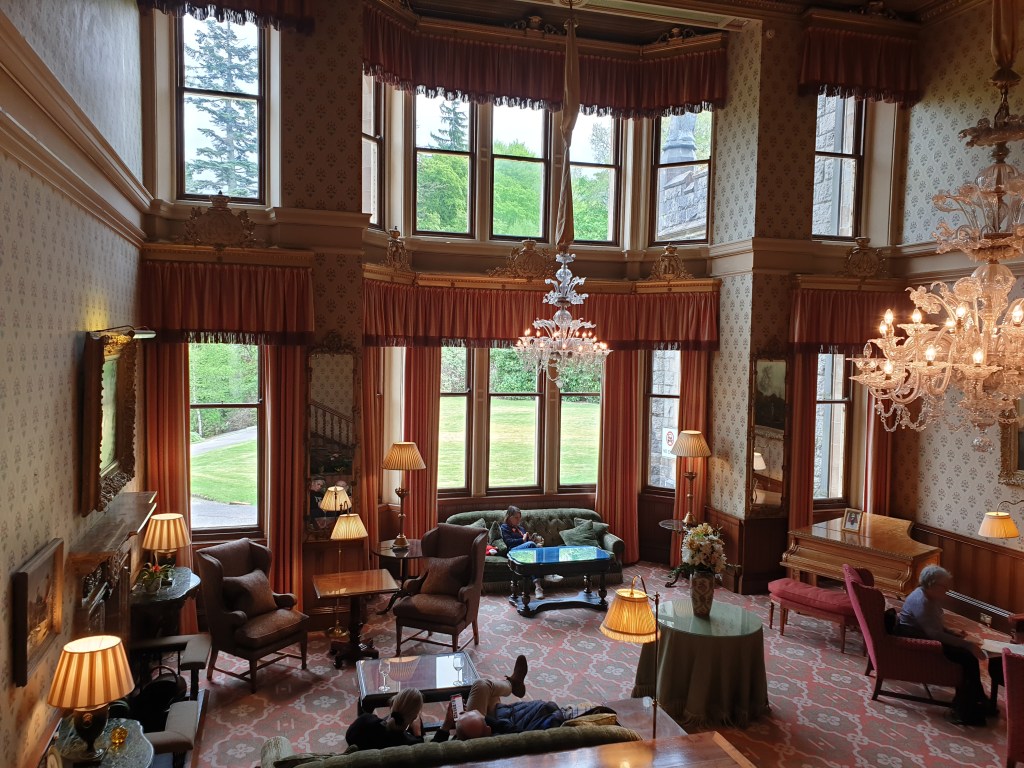
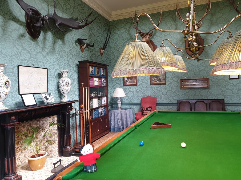
Then the road skirted past Fort William and the might Ben Nevis mountain range, the highest in the UK. I stopped for a coffee in a castle that had been converted to a luxury hotel. It had magnificent reception rooms, and also an impressive snooker room where trophies from the former castle owners’ hunting expeditions were displayed. I was sorry for the deer that had been shot, but relieved that there were no bears amongst the victims. BTW I found a very cool and useful site full of information for next time when I will have time to climb Ben Nevis.
Coffee Stopover
The road continued through the impressive Glen Shiel valley, guarded by the might “five sisters” mountains.
Some of the “Five Sisters”
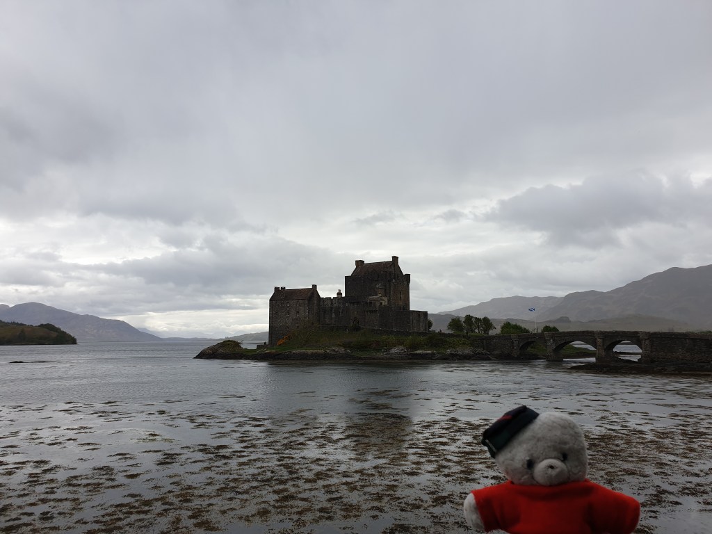
It then reached the sea, to reveal the beautiful castle of Eilean Donan, sitting alone on its own island in Loch Duich.
Eilean Donan Castle (shame about the rain)
Finally, I crossed over the bridge to Skye, to be met with brilliant evening sunshine. The scenery suddenly looked very different – pretty and happy.
My first impression of Skye
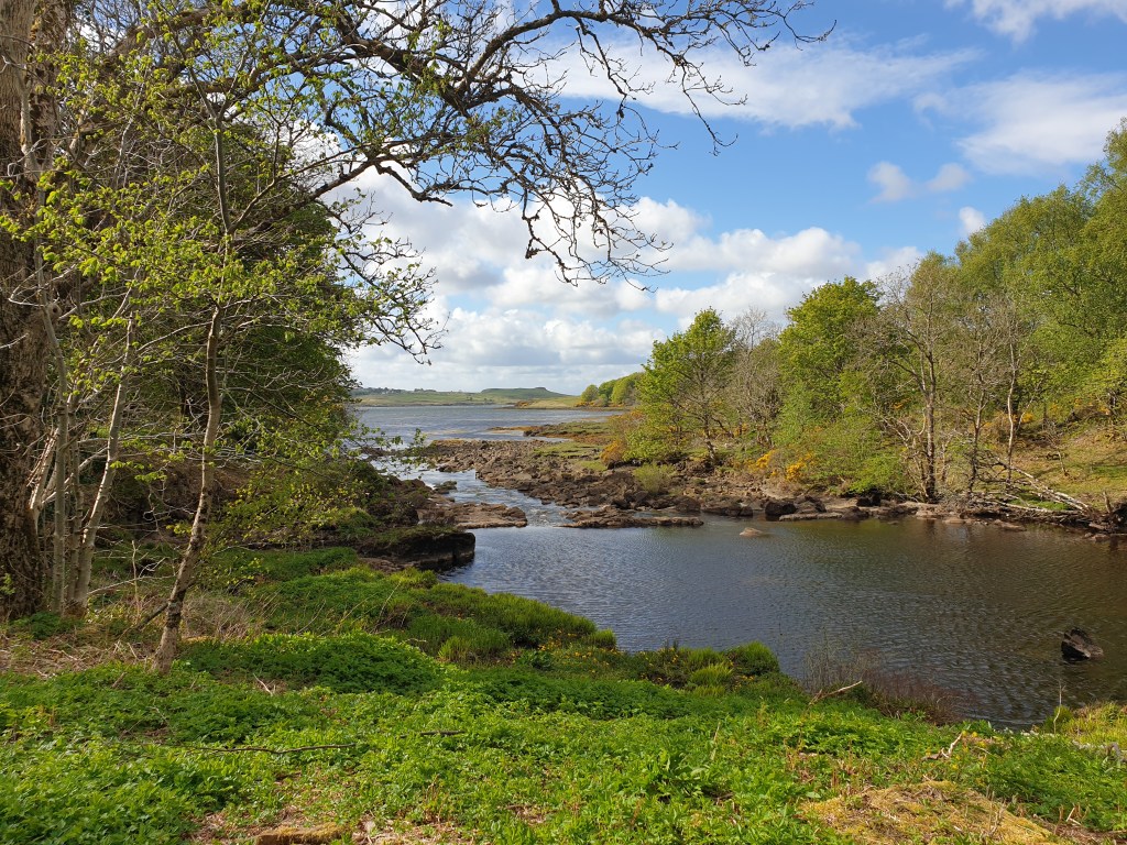
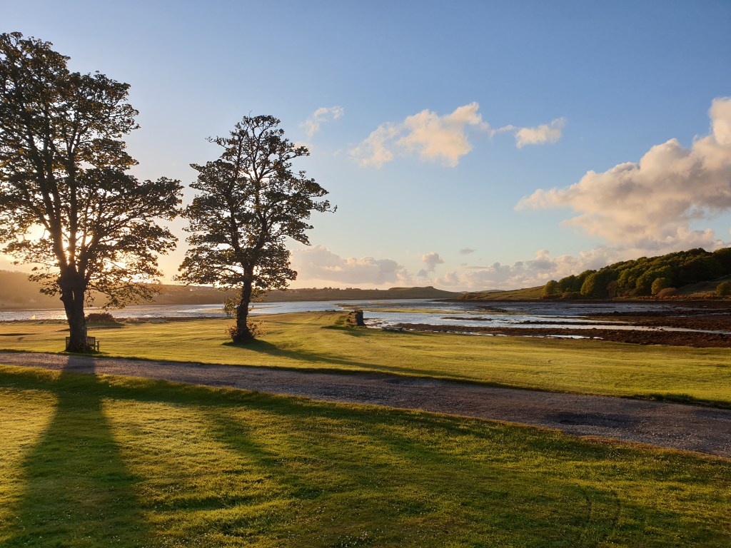
I was very glad to reach my hotel at half past five after a long day’s driving– I had left the ferry at a quarter past ten, but had only managed just over 100 miles since then. Progress had been very slow, with coffee stops, photo stops, lunch and even a short snooze along the way. I had dinner in the hotel and then a stroll around the hotel’s grounds and its golf course to catch the evening light. With the warmth of the sun weakening, it was bitterly cold, but I managed to take a couple of last photos for the day before hurrying inside to bed.
Today I had a simple plan – to explore the small coastal roads on the west of Mull, before reaching the port of Fionnphort, from where I had booked a boat trip to Staffa Island, with its famous Fingal’s Cave.
I set off early, aiming to have about an hour free for a leisurely lunch before the boat trip started at 12.15. The coast road was pretty, very narrow, and very wild. I stopped several times to take photos.
Driving along the west coast of MullCalgary beach on Mull’s north west coast
There was very little traffic, but after an hour, I met a large 4×4 coming the other way and ducked into a passing place to let him past me. The driver stopped alongside me and told me that the road ahead was closed for roadworks, and would remain closed for over an hour, and that he had decided it would be quicker to turn around and try another route. He asked me where I was headed and raised his eyebrows when I told him Fionnphort – it was obviously no longer easy to get there. After a bit of thinking he advised a route through somewhere called Dervaig and reconnecting with the main road that skirted around the east of the island.
I considered my options quickly. If I carried on, I would probably be late for my boat – but I might have a chance if the roadworks were quicker than the man had said. On the other hand, I had no idea how long the new route would take – there was no phone connection and so no chance to judge the time on Google Maps. My car’s Satnav was also useless – it refused to consider any option other than the way I had been going. All the same, I decided to take a chance with the huge detour that had been recommended. After fifteen minutes I found the junction for Dervaig, and regained phone connection. Google estimated my ETA at Fionnphort as 12.20 – five minutes late, and the satnav had now also recalculated the route with an arrival time of 12.15. I might make it! I put my paw to the floor and hurtled along the tiny road leading through Dervaig, grimacing as the car wheels hit potholes or the bottom of the car scraped on the surface of the road.
Google and Satnav gave continuing feedback on my efforts by adjusting their arrival times; I was pleased that I was keeping up with their schedule and convinced that I could make up some time when the road got better. From the minor road through Dervaig I reached the main coastal road and then branched off into the mountains. The road cut through spectacular mountain scenery, but I was too busy driving to appreciate it, never mind stop to take photos. It started to rain hard, and I wondered if I really wanted to do the boat trip after all. Finally, the road left the mountains and ran along the south coast of the island. The traffic got heavier, and more and more often I was stuck behind slower vehicles or having to stop in passing spaces to let oncoming cars go past. Google’s ETA edged up – 12.21, 12.23, 12.24….
I stopped to call the tour operator and told them I would be about 10 minutes late. They were very relaxed and said they would wait for me. The very last stretch of road was even busier, with roadworks being the next hazard to be overcome. I finally arrived at Fionnphort at 12.34 – 20 minutes late. I grabbed the parking space closest to the jetty (normally reserved for buses), decided not to waste time buying a parking ticket, and ran to find the captain of our boat waiting patiently for me, and a large group of more agitated tourists. I gasped some apologies and jumped aboard, hiding in the cabin to conceal my embarrassment whilst the other tourists enjoyed the fresh air on deck.
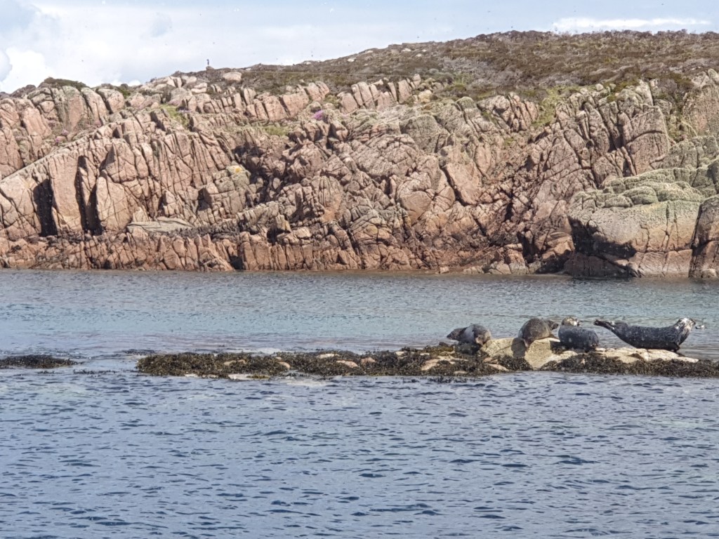
Fortunately, the weather had turned sunny and soon everyone was in a good mood again. First, the boat met with a group of seals sunning themselves on a rock………..
Seals near Fionnphort
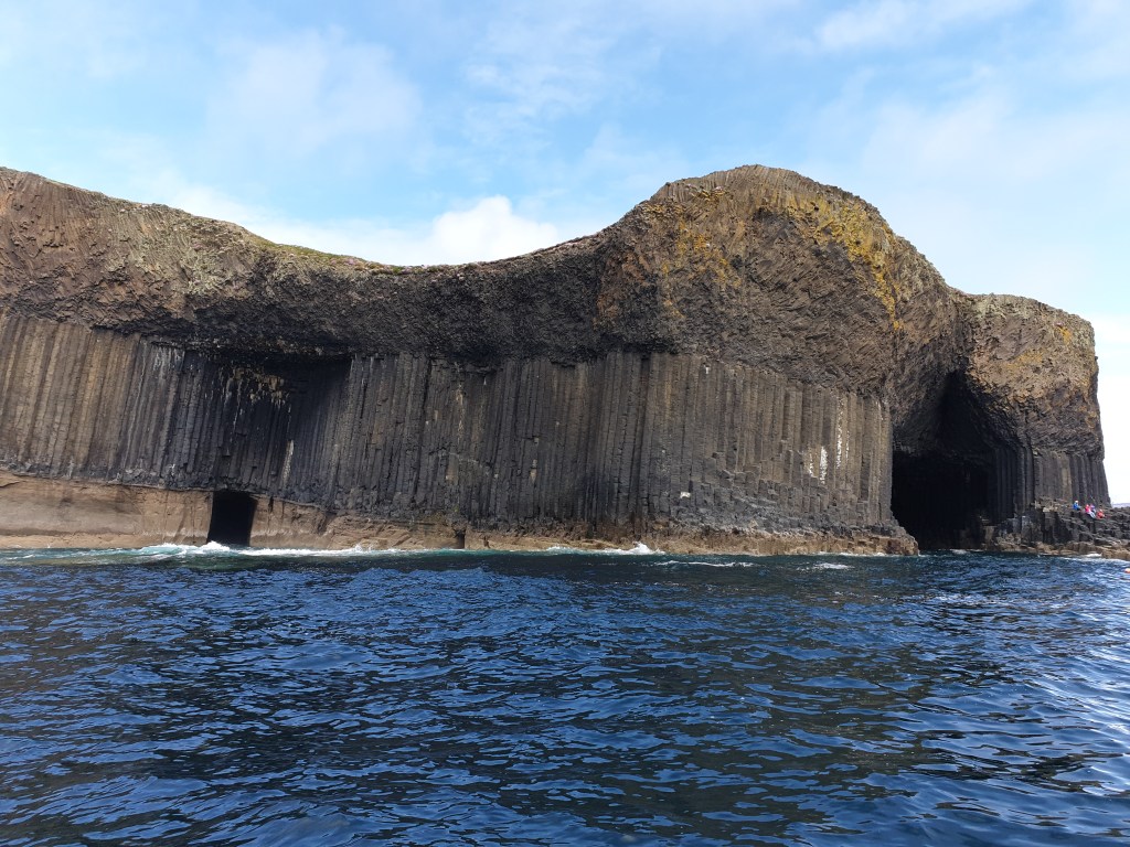
……before reaching spectacular Staffa Island after 30 minutes’ sailing, with its dark basalt rocks rising vertically from the sea. There is a legend that hexagonal blocks that make up the island were laid by a giant, who built a bridge between Ireland and Scotland that also included Giant’s Causeway in Northern Ireland. In reality the hexagonal blocks in both places are the result of molten lava cooling after the same huge volcanic eruption 60 million years ago.
Staffa Island
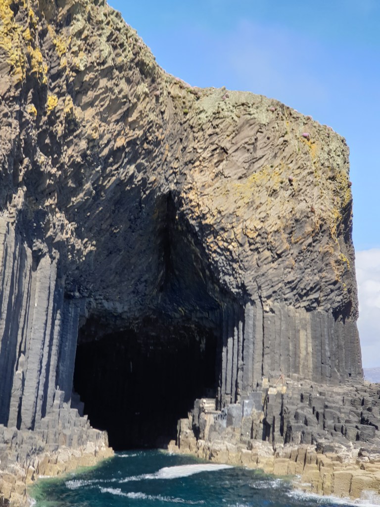
The boat positioned itself so that we could see the famous Fingal’s Cave, where the sea has eroded the blocks to form a spectacular cavern.
The entrance to Fingal’s Cave
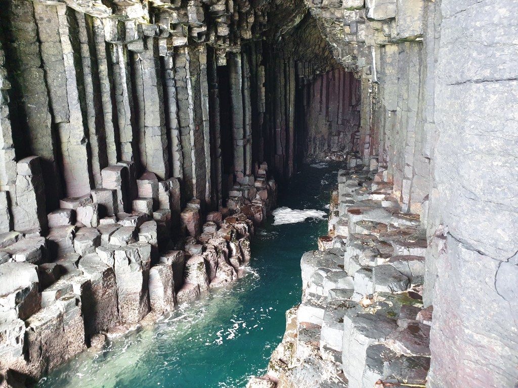
Next, the boat moored on the island and the captain gave us an hour to look around. I headed straight to the cave, beating the rush of the other passengers and taking more photos.
Inside Fingal’s Cave
After that, I headed off to visit the puffin breeding colony on the other side of the island. When I arrived, the puffins were all bobbing up and down on the surface of the sea, far below the cliffs where expectant tourists were waiting. I sat and waited, admiring the beautiful views and enjoying the warm sun.
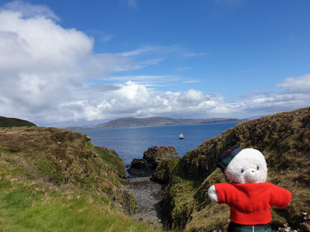
Scenic Staffa Island
Eventually my patience was rewarded, as the birds started to fly back to their nesting grounds. They avoided people, but since I was small, they didn’t seem to be afraid of me, so I could get a really close look.
The tour ended at Iona, a small island just opposite Fionnphort. At the harbour I was met by a fisherman whom I had called the day before to order fresh lobster and crab. He showed me two live medium sized lobsters and two very large live crabs, which he then placed in a container for me to pick up when I was ready to leave the island.
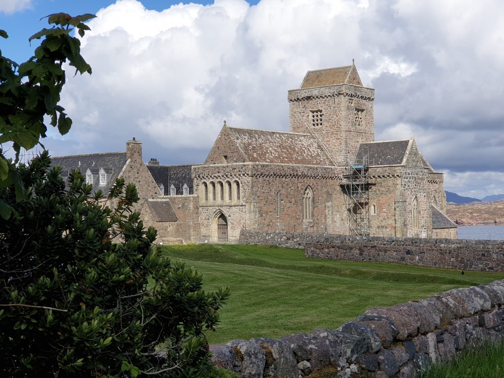
Iona is famous as the place were St Columba landed in Scotland in AD 563. He set up a monastery that became the base from which Scotland was converted to Christianity. The abbey was destroyed by Vikings and rebuilt, only to fall into ruin after the Scottish Reformation in the 16th Century. It was rebuilt again in 1938.
Iona Abbey
Iona is supposed to have a special, spiritual feel and to be a great place for exploring on foot. But I was tired after all the excitement of the boat excursion and hungry, having missed my lunch. I bought a couple scones and ate them admiring the restored abbey, before picking up my seafood and taking the short ferry ride back to Fionnphort. I was relieved that my car had not received a parking ticket, and slowly drove back to Tobermory.
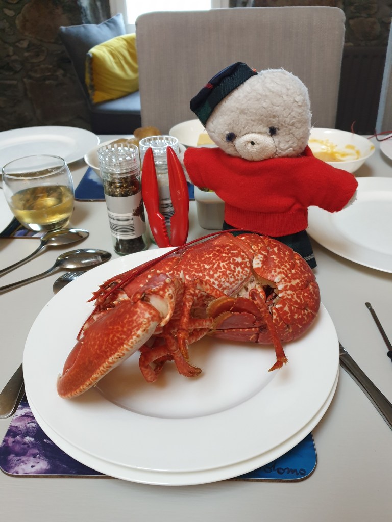
Fresh lobster for dinner, then I collapsed into bed, exhausted.
It has been six long months since my last blog (Madeira in November 2000). I was itching to get back on the road again, and as soon as the UK’s Covid restrictions were partially lifted I was off. This time I am visiting Scotland. This is a place that has been on my “must visit” list for many years, but I always told myself I could leave it for later, when, as an older bear, I wouldn’t be so confident traveling around places like Iran or Kyrgyzstan.
This year I had no excuse to postpone my Scotland trip any longer. As a British bear, it is one of the few places to which I am allowed to go, May is the best time visit (before the ferocious midges start biting in June) and – rarity of rarities – the weather forecast was good. What’s more, I have some Scottish blood from distant ancestors who lived in the Scottish Highlands when bears roamed free there. My family has its own tartan and I even have my own kilt.
I plan to drive up from London and see the Scottish islands and the far North, avoiding the cities of Edinburgh and Glasgow which can be more conveniently reached by train (for a next visit). Remembering just how long the UK is, I decided to stop over in Penrith, just before the border in the far north of England, on the way up; probably I will also stop somewhere on the way back.
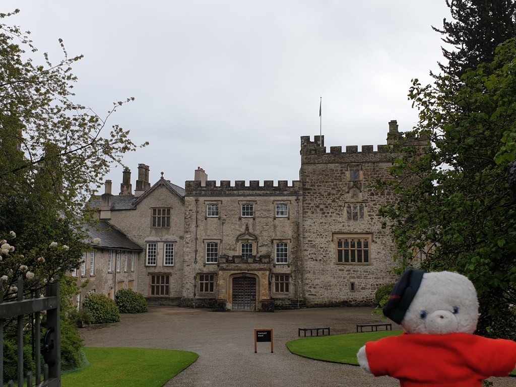
On my first day I drove up from London without incident, through industrial Birmingham and past Manchester until I reached the Lake District. There I decided to do some sightseeing and avoid the monotony of the motorway. My first stop was the pretty castle of Sizergh, which is more than 800 years old and has the home of the Strickland family for its entire existence.
Sizergh Castle
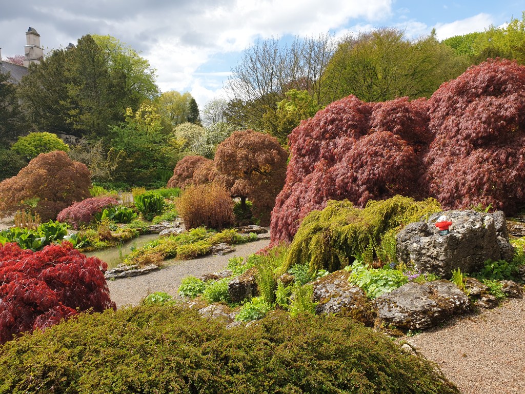
The castle itself was not open for visiting, but it has beautiful gardens set out in a range of styles including a Japanese-style garden…..
The Japanese Garden
……..and a beautiful orchard.
From Sizergh I drove to Kendal, a town well-known for being the gateway to the Lake District. Although Kendal must once have been a pretty market town and still had many nice old buildings, what struck me most was how poor the place looked – every third shop was a bargain discounter, and every fourth a charity shop. The remainder were cheap restaurants, the now ubiquitous barber shops, or simply closed and boarded up – unable to survive Covid on top of Amazon’s onslaught. Though disappointed by Kendal, my route did allow me to take an extremely scenic backroad to Penrith. It was well off the beaten path – maybe because there were no famous lakes in this part of the Lake District – but still a really beautiful drive.
On the road from Kendal to Penrith
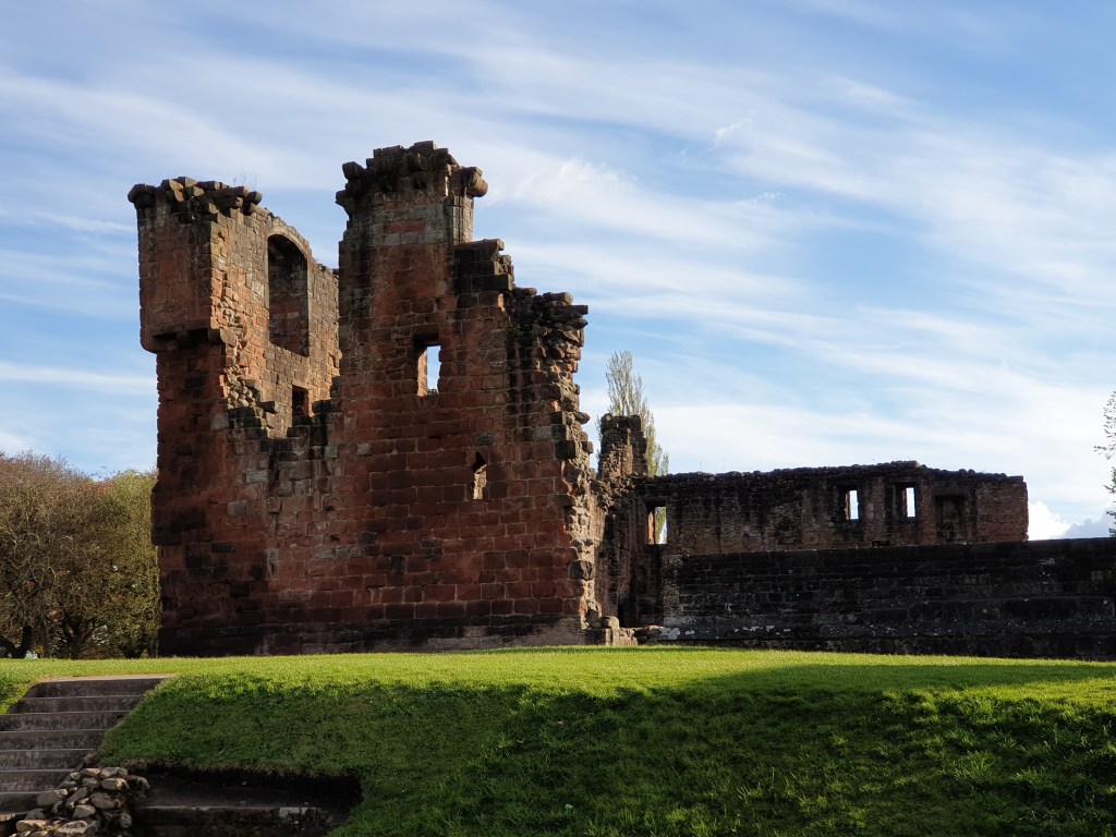
I arrived in Penrith in the late afternoon and found the small hotel I had booked for a quick overnight stay. After a short rest to get over my drive, I headed to explore the town. It was a pretty place, with nice old buildings and a ruined castle.
Penrith Castle
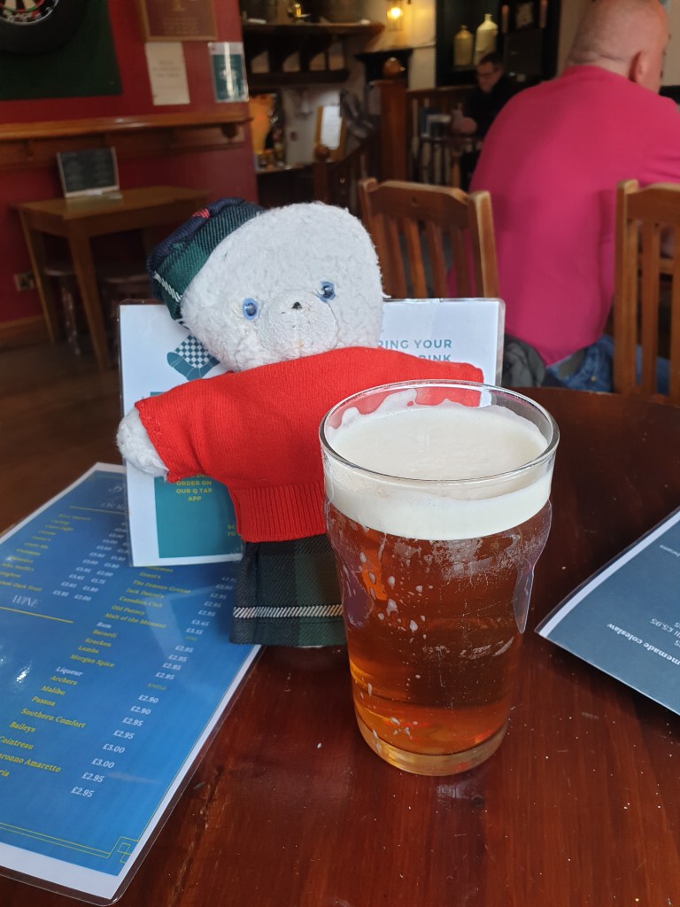
I had dinner in a pub. It was the day that the Covid restrictions were lifted, and the time people could eat and drink inside pubs for six months, so there was a cheerful, busy atmosphere.
My first pint inside a pub since November 2020!
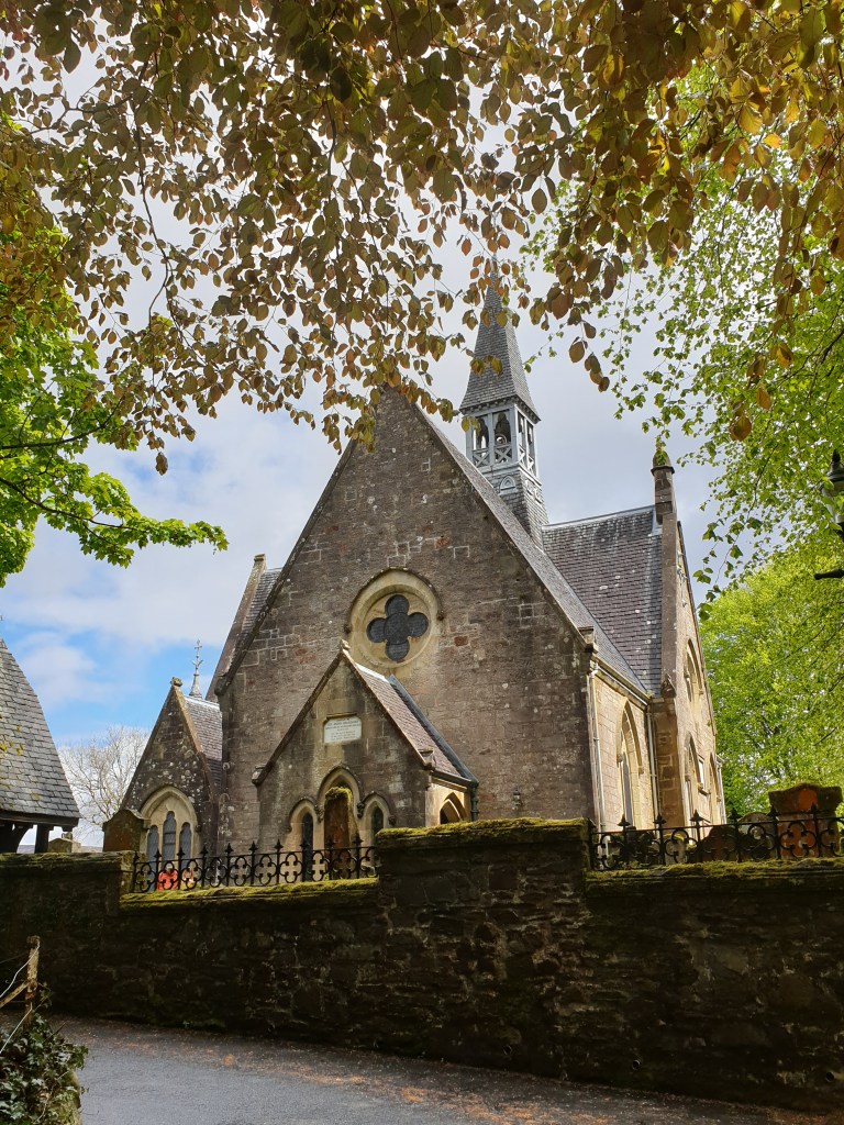
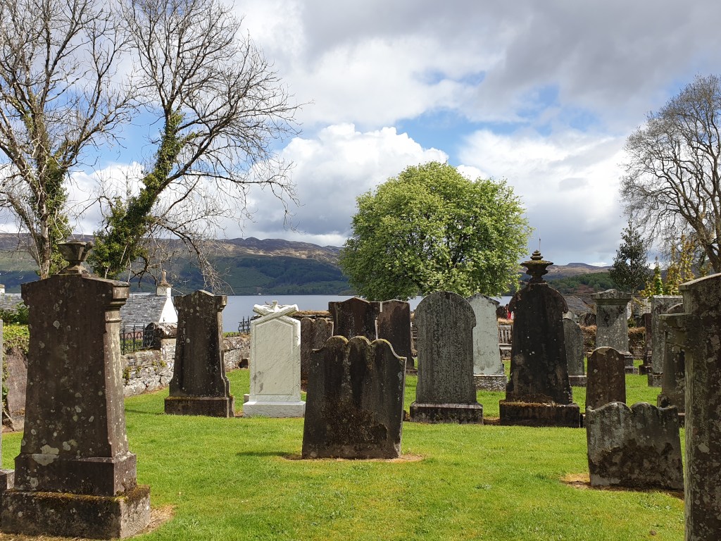
The next day I continued the long journey up to Scotland. I crossed the border shortly after departure and reached Glasgow in a couple of hours. After another thirty minutes negotiating the ugly web of motorways surrounding Glasgow, I was in the picturesque Trossachs national park, driving along the side of Loch Lomond. I made a quick stop in Luss, a pretty village on the side of the loch, to stretch my legs and have lunch.
Loch Lomond The Church at Luss
The road continued north through increasingly wild and beautiful scenery to Oban, where I had a place booked on the ferry to Mull. It was good weather for driving, with a mix of sun, cloud and light rain that brought out the different colours of the vegetation.
On the road to Oban
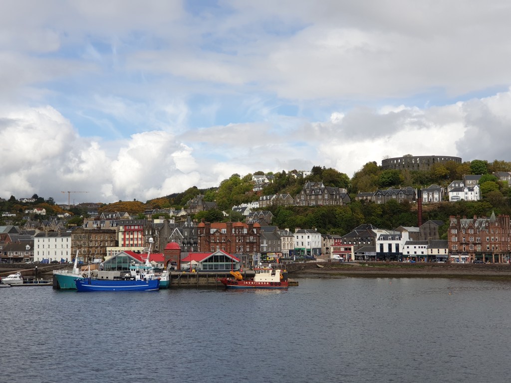
Arriving at Oban. I just had time to buy some fresh scallops and crab from the fish shop next to the terminal before boarding my ferry.
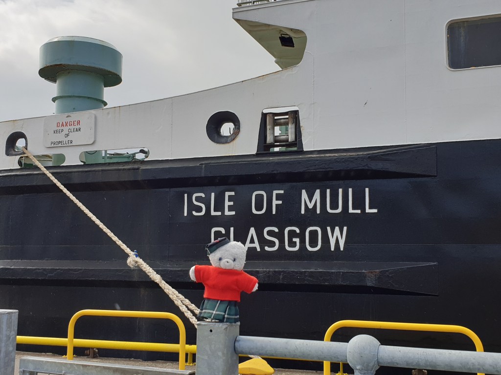
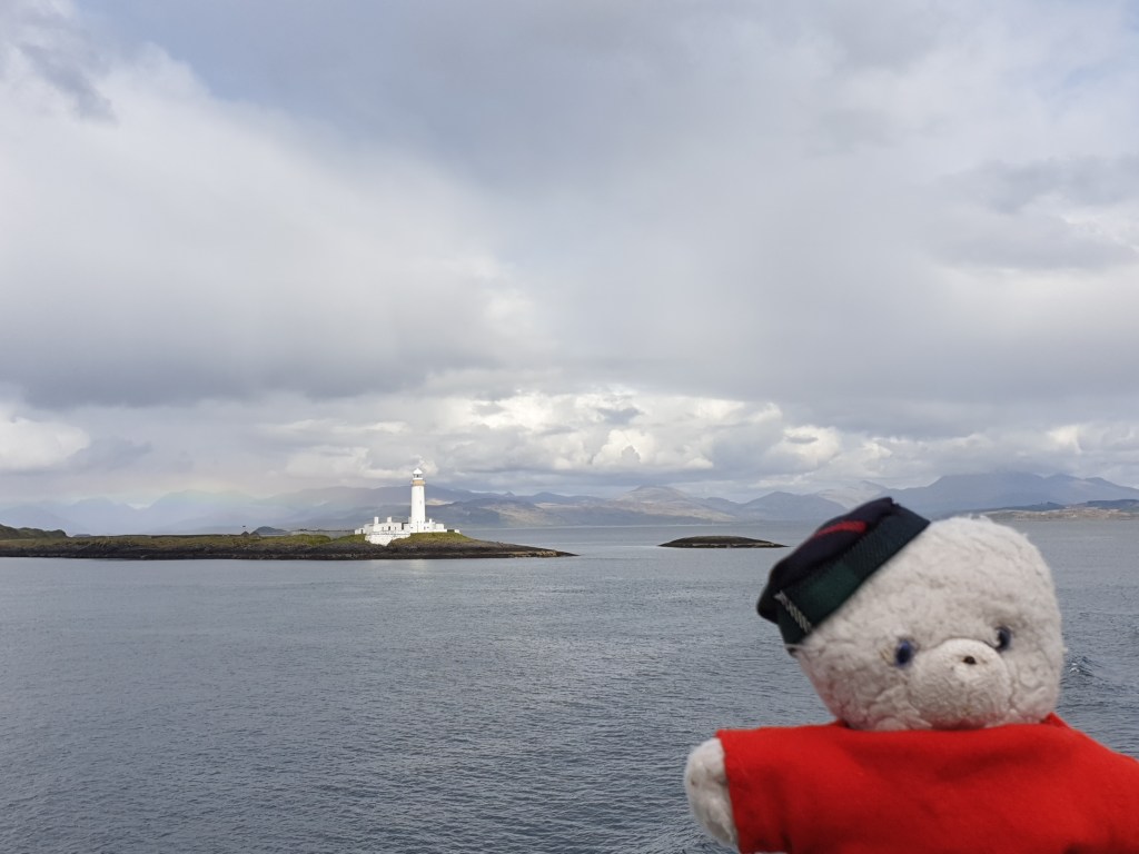
The ferry made its way slowly through the Sound of Mull, threading its way through dozens of small islands, some inhabited, some completely wild. I stayed out on deck taking in the magnificent scenery, despite the occasional spot of rain – and was rewarded with the beautiful sight of a rainbow low down on the sea behind a lighthouse.
Oban from the boatLighthouse, rainbow and the world’s most traveled bear
I arrived on the island of Mull into brilliant sunshine and drove the remaining thirty miles to the cottage I had rented in Tobermory. In places the road was single track – if you meet a car coming the other way, one of you needs to pull into a passing space to let the other driver past. There are lots of such passing spaces, and the locals are very familiar with this style of driving and wave you through with a cheery smile. The short road gave stunning views of the sea and the Scottish mainland around the channel, with the bright sunshine bringing out the yellows, greens and reds of the countryside.
On the road to Tobermory
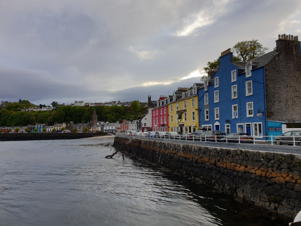
The beautiful fishing town of Tobermory was also bathed in early evening sunlight when I arrived.
Tobermory
I checked into my cottage, which was perched on a steep hill above the harbour with an amazing view of the bay.
The view from my living room
Even though it was getting late, the sun was still high in the sky – Tobermory is roughly the same latitude as Moscow and the days are very long in May. I took the opportunity of the glorious evening sunshine to take a short walk to the lighthouse, taking lots more photos on the way.
Yet more stunning Scottish scenery
Fresh scallops for dinner, then I fell into bed, a tired but happy bear.
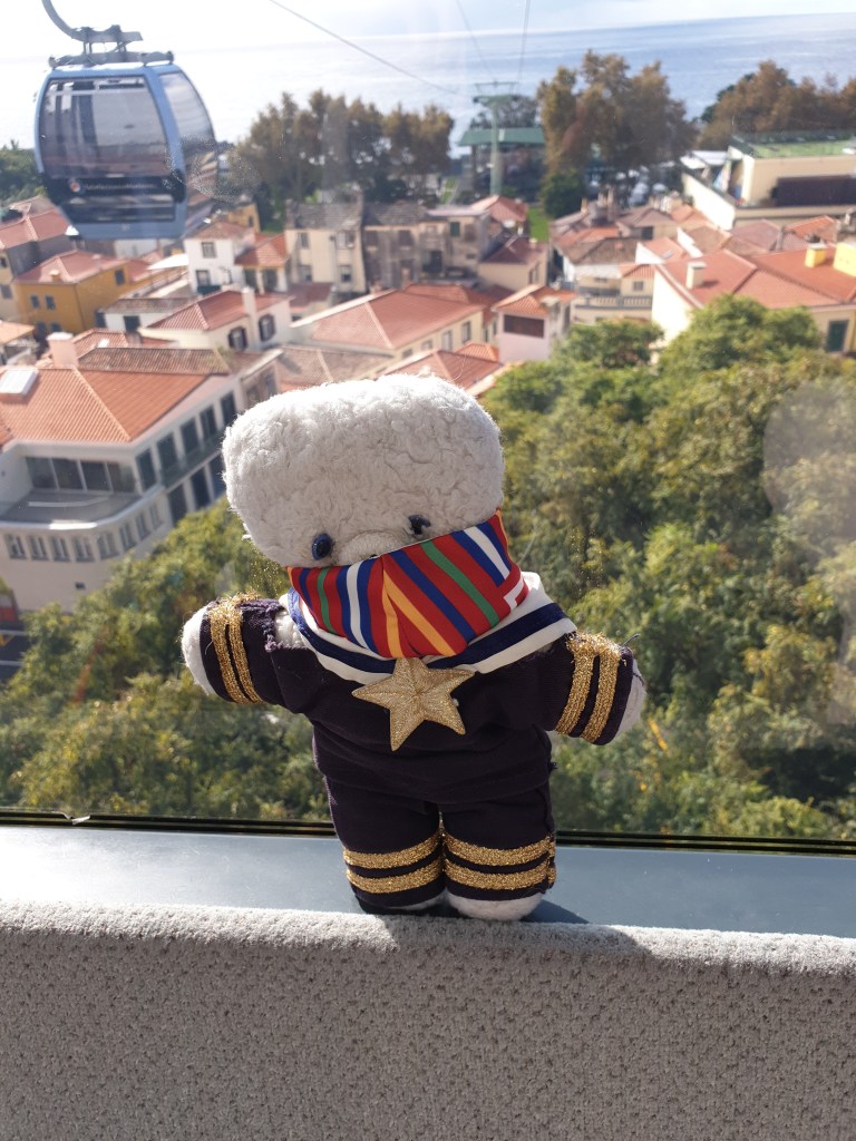
Today was my last full day on Madeira and I decided to explore Funchal. Although I had been staying there a few days already, I had been busy with all-day trips outside of the city and had not ventured out of the old quarter, where my flat was located. I started with taking the cable car to Monte, a suburb high up in the mountains behind the city, to visit the Monte Palace Gardens, one of Madeira’s main tourist attractions. I bought a combination ticket for cable car and “gardens” at the ticket office and enjoyed interesting views over the city on the long ride up.
In the cable car to Monte
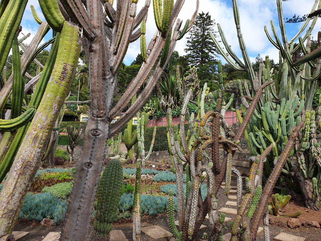
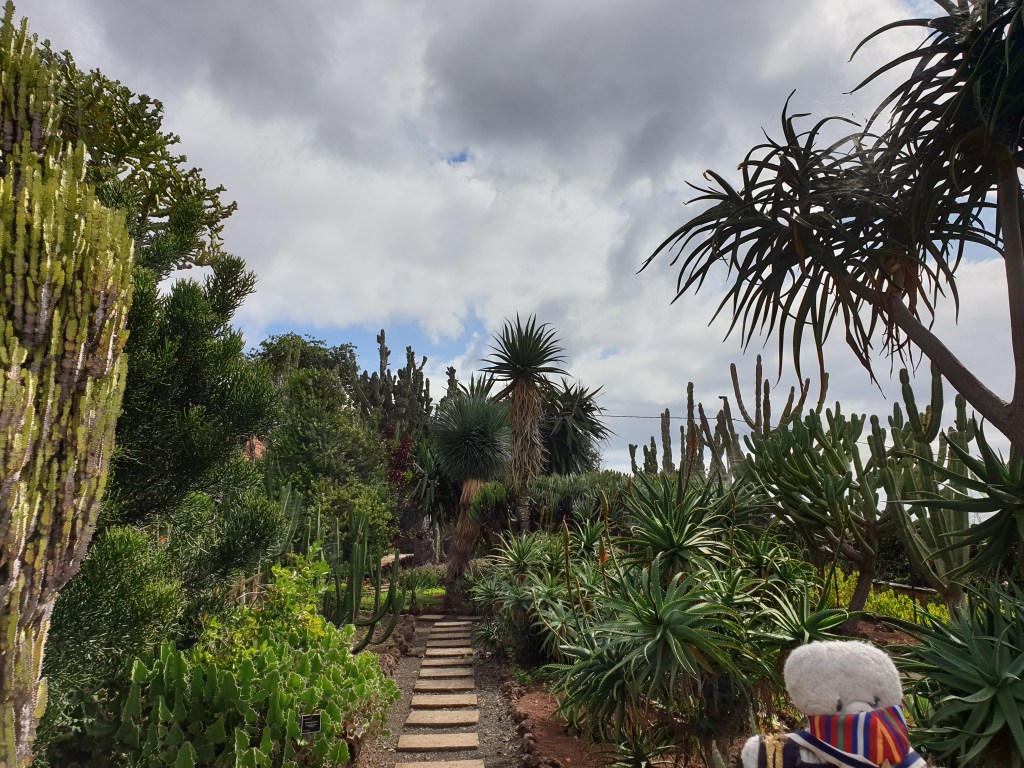
When I got to the top, I found that my combination ticket was not for the Monte Palace Gardens, whose entrance was right next to the cable car station, but for the official city Botanical Gardens. To reach the latter required me to take another cable car going half-way back down the mountain. My annoyance quickly passed as I explored a series of very interesting displays of Madeira’s plant life and enjoyed coffee and cake on a terrace looking out over Funchal to the sea. I particularly enjoyed the huge cacti and the dragon trees. An added bonus was that I had the place almost entirely to myself.
Topiary in the Botanical GardensHuge cacti…
From the Botanical Gardens, I returned to the centre of Funchal to explore the city. It had a nice laid-back feeling, many old buildings and very few tourists. There were no real “must visit” places that would feature in lists of “1000 things to see before you die”, but the city centre was pretty and a pleasant place just to stroll around for a few hours. There were lots of small shops, gardens, and public squares.
A Square in FunchalPretty Old Buildings and the Cathedral
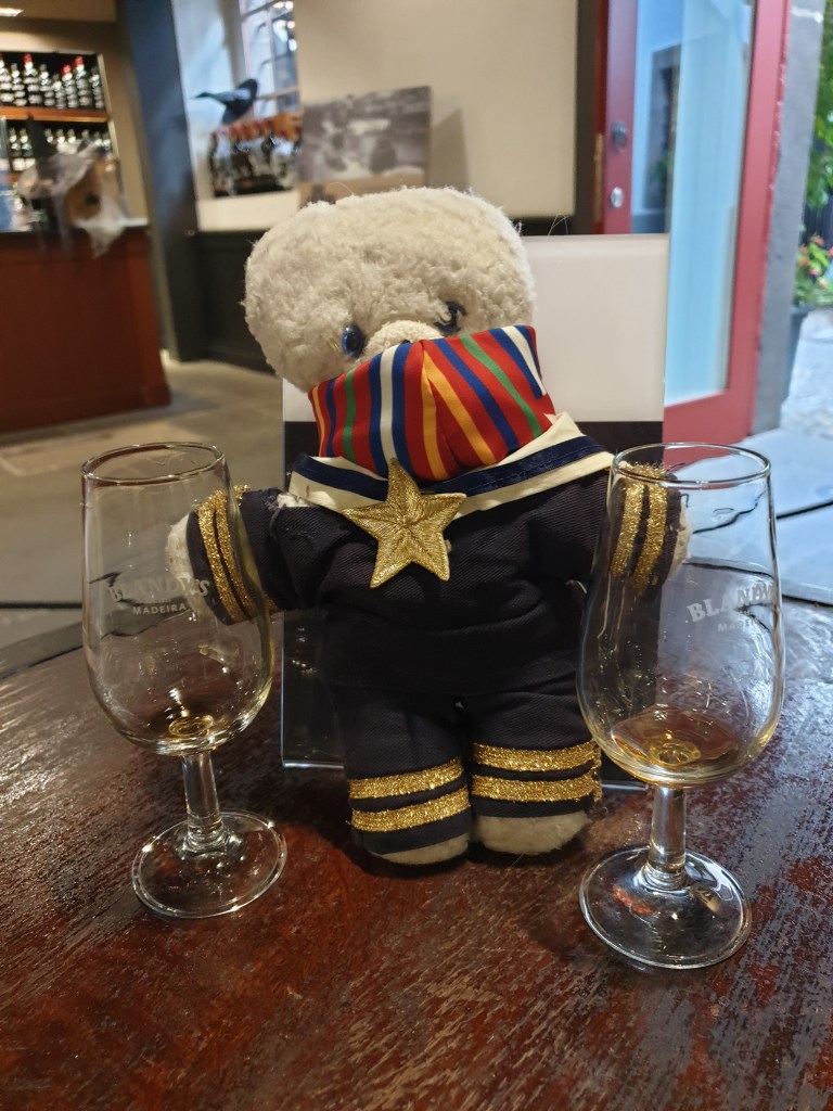
My route took in a museum set in the house of Zarco, the city founder, and the cathedral. It ended with Madeira wine tasting at Blandy’s wine merchants, where I discovered that in addition to the sweet Madeira that is popular in the UK, there were also semi-dry and dry varieties. Even the dry one tasted sweet to me, just less so than the others. But I like Madeira wine, so it was a great way to end my stroll.
Madeira Wine Tasting (the end of…. hic!)
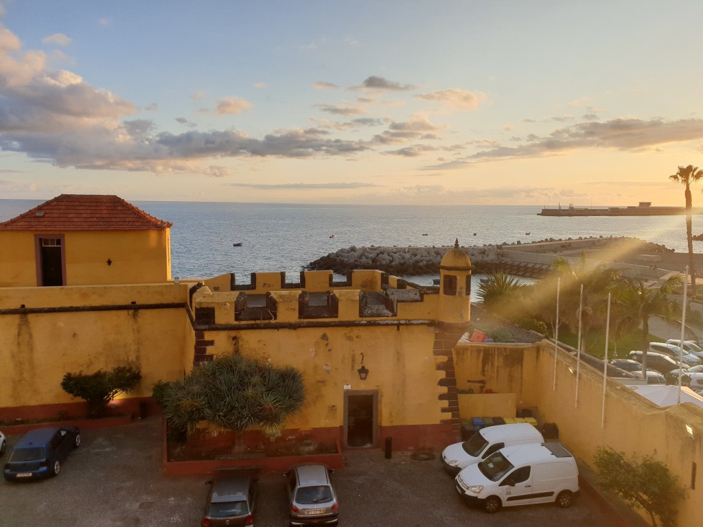
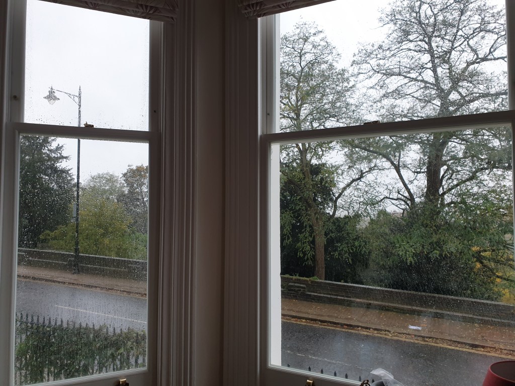
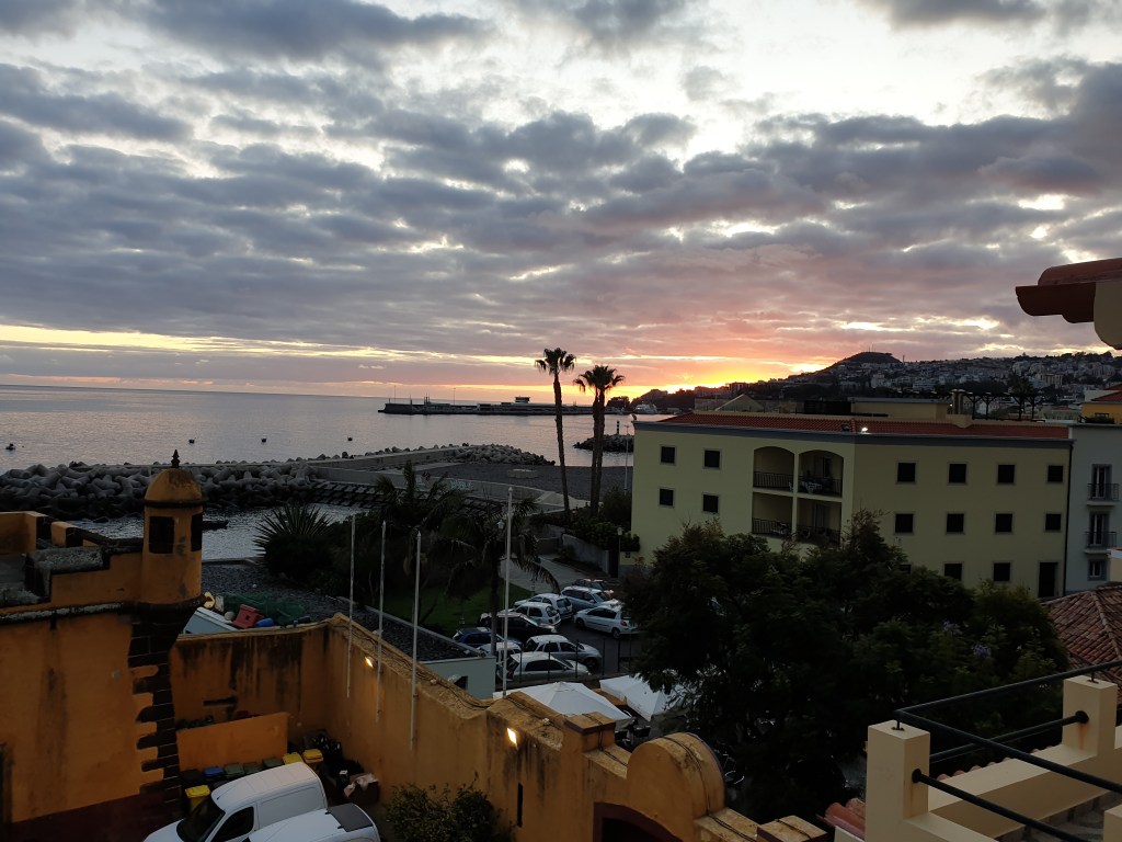
The evening I had dinner in the open air at the restaurant in the old fort directly in front of my house. The food and service were excellent. I took the option of the wine set. In London this would involve precisely measured rations of each wine, but here the staff filled up my glasses whenever they were half full. As the evening progressed, a bright full moon rose over the battlements of the fort and bathed the courtyard in soft light. The evening was perfect and helped me forget for a moment that I had to return to London’s rain and Covid the next day.
Funchal in Ocober …….London in October
I left Madeira after nearly two weeks with a desire to come back. There were some things I hadn’t managed to do during my visit – like the walk on my first day that got rained off, or the Monte Palace Gardens. But most of all it would be nice to stay in Funchal, chill out in the sun and do some swimming or diving whilst everyone back home is shivering with the onset of winter.
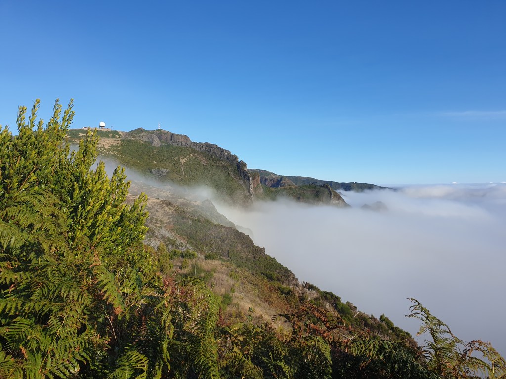
Today my alarm woke me at 06.45. I planned to do the famous walk between Pico do Arierio and Pico Ruivo, high in the mountains, and the guidebook said you should start early to avoid clouds. However, when I got up and went out on the terrace, the weather was cloudy even at sea-level in Funchal. I thought that the mountains would be even worse and sat down to think of a plan B for the day, annoyed at having woken up so early for nothing. Dawn was breaking, and I remembered the website with webcams all around Madeira showing the weather that had been so useful on my first day on Madeira. Maybe I could find a sunny place to visit for the morning. Out of 20 webcams, there was one showing a brilliant sunrise, above a layer of thick cloud………Pico do Ariero. My original plan was still good, since the top of the mountains rose well above the clouds. I picked up all the stuff I had packed the night before and set off in my car up some very steep hills. Soon I was engulfed in thick grey cloud, but as I went further and further up, I felt the top of the cloud lightening, and then suddenly the sky was a brilliant clear blue with a bright white layer of cloud below me. I had arrived at a radar station that marked the start of my walk.
The road leaves the clouds
I stopped at the radar station to take my first photographs of the beautiful cloud- and mountain-scape.
First of many amazing views
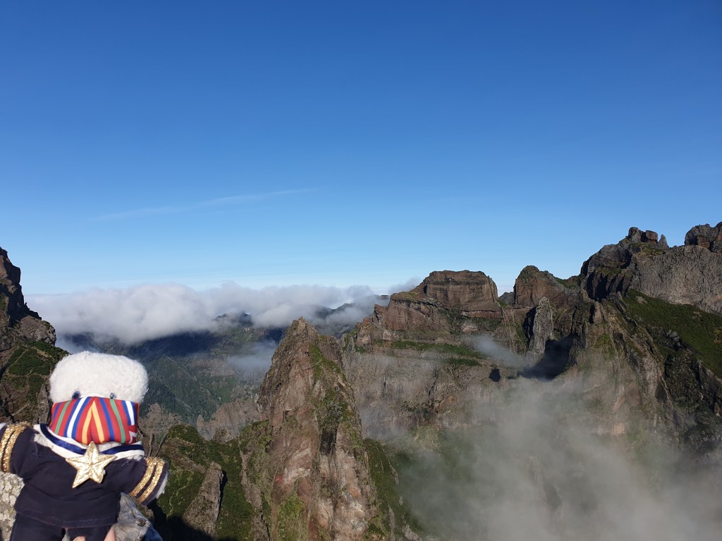
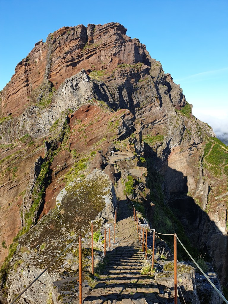
The path then set off downhill along the side of a mountain and the along a sharp crest, with steep drops on either side.
Not for the faint hearted….Mountains and Clouds
Fortunately, the path was well maintained, with guide rails. The path ran to a couple of “miradouros” before dropping steeply down the mountain, and then running level through several tunnels.
The second tunnel
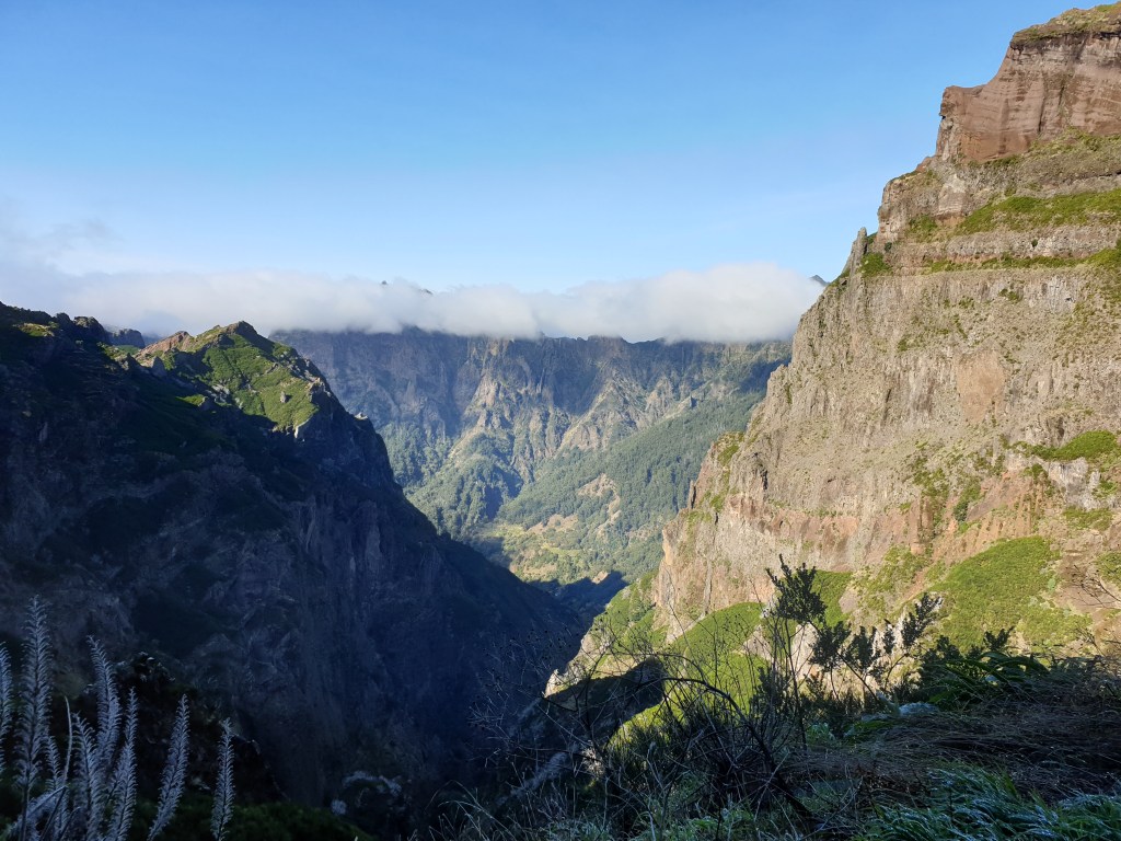
The first seemed natural, the others had been bored through the rock. They were long and dark, requiring me to use the light on my phone to see where I was going. In the stretches between tunnels, I was treated to a series of amazing views. Brilliant sunshine, tall mountains, and bright white cloud drifting in from the sea.
On a flat bit between tunnels
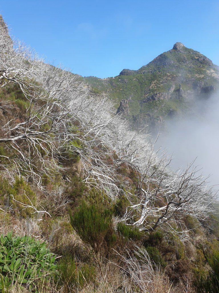
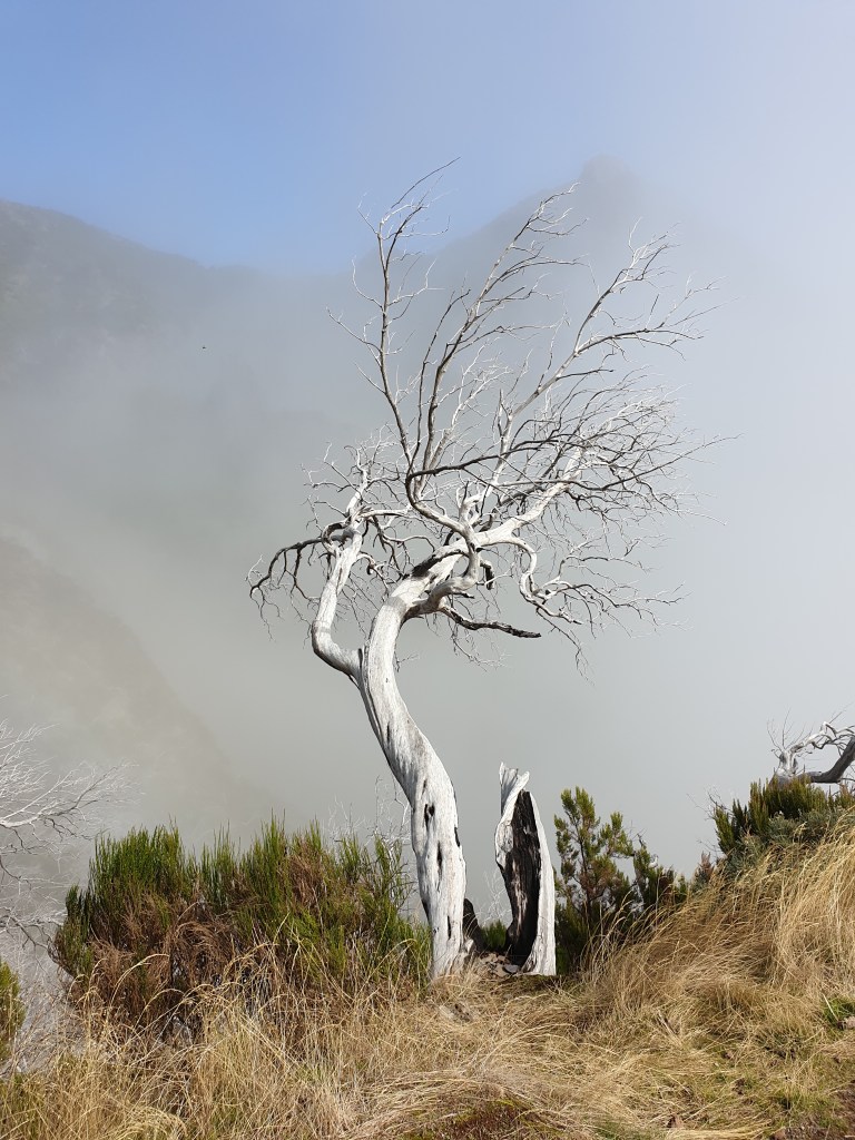
Next the path went steeply up a series of long metal ladders, then came a slightly flatter section running through a forest of dead grey trees. With the wisps of clouds blowing in from the valley, and the trees twisted, agonized shapes, it felt like an enchanted forest from a fairy tale.
The enchanted forest…Fairy tale prince turned into a tree?Up and up…
The path continued still further up, and with the strong sunshine I was soon sweating. Finally, I reached the summit of Pico Ruivo and stopped to take photographs and admire the views. I could see the starting point for my walk just over on the neighbouring mountain range. Given the effort of getting here, it looked disappointingly close as the crow flies, but the steep drop between the two points bore witness to the difficulty of the path.
View from Pico Ruivo with Pico do Ariero, my starting point, in the distance
I stopped to have my packed sandwiches and drink some water, and then set off on the return trip. The clouds were now thicker and reaching higher up the mountain. At the point where the clear sky stopped and the clouds began, I saw a faint rainbow, before the sun disappeared entirely.
Closest I have been to a rainbow
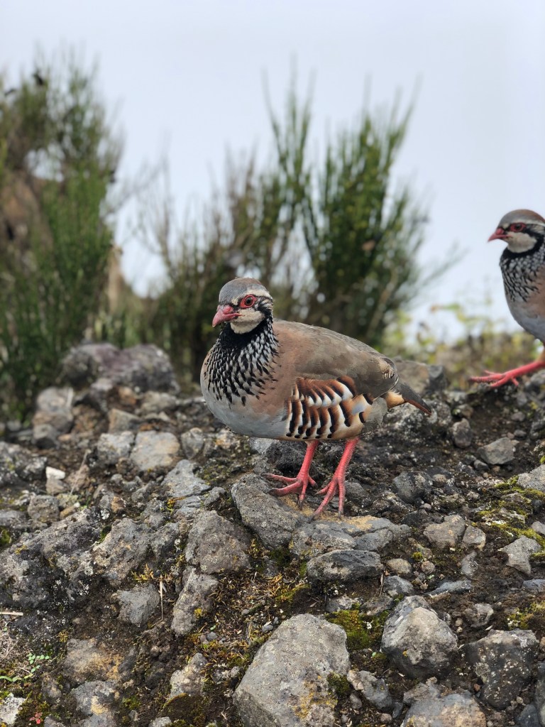
Doing the return trip in the mist was a completely different experience. Although less spectacular, I noticed things I had missed on the way out, and I was protected from the sun and the heat. I met a family of partridges – friendly birds almost the same size as me – and shared some biscuits with them.
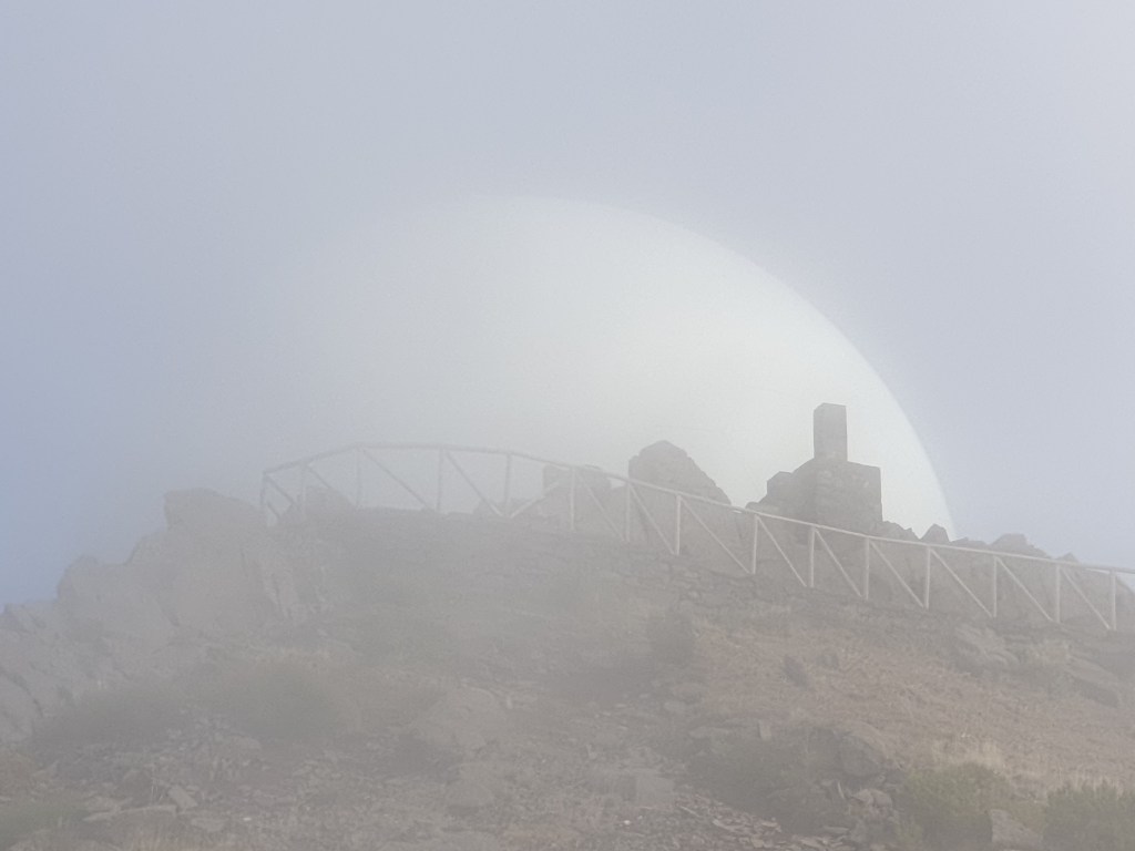
When the path began to rise steeply again, I knew I was getting closer to my destination. Just when I was thinking the path up would never end, I made out the spherical white form of the radar station through the mist, looking like some alien space craft.
The end in sight!
Made it! A hard 5 hours walking, with a 30mins break for lunch. My legs hurt, but it was one of the most spectacular walks I had ever done anywhere, and I was exceptionally lucky to catch the time when the clouds were drifting up from the valley and had not yet reached the summit. A big thumbs up for the Madeira webcams!
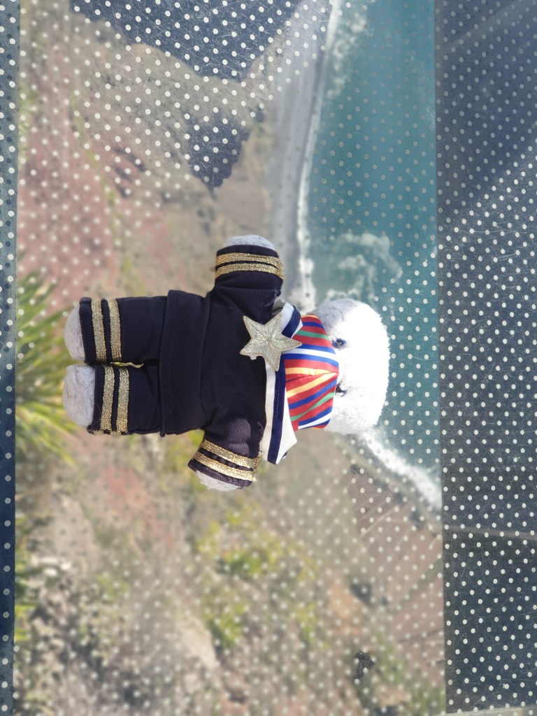
Today I moved to Funchal, the capital of Madeira and by far its biggest city. I went there via Cabo Girao, a tall cliff on the south coast where they have a built a glass platform over the cliff edge which allows you to look straight down 580m to the sea. Although I am very small compared to the other big tourists stomping over the glass, I stepped very gingerly and tried to make sure that I kept each paw on a different pane.
On the glass viewing platform of Cabo GiraoThe view from Cabo Girao
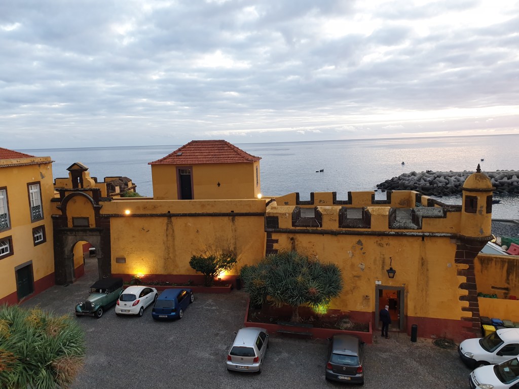
It was a nice site, and looking straight down past my paws to the sea was a novelty, but the view wasn’t that different from all the other pretty seascapes I’d seen on Madeira, and I found the constant stream of tourists rather oppressive. I headed on to Funchal where my flat was in the old town and looked out over Madeira’s old fort.
The view from my flat
I will write more about Funchal in a later post.My first activity in the afternoon was a boat trip to look for dolphins and whales. We headed out to sea in a small RIB (rigid inflatable boat) for about an hour. I scanned the horizon for fins sticking out from the water. Occasionally I got excited when I thought I’d seen one, only to realise that I’d seen the shady side of yet another wave. The skipper of the boat was better at spotting marine life than I was. “There they are!” he shouted. At first, I couldn’t see anything but then I realised we were in the middle of a big group of dolphins swimming right around the boat. The guide explained that they were Atlantic Spotted Dolphins, and this was a good thing because this species was very sociable and would come and do some “human watching” if they weren’t busy hunting fish. I spent the next ten minutes with my camera primed, trying to snap the moment when a dolphin fin or tail would break the water.
A rare successful dolphin shot
It was hard to get the timing right, and I ended up with lots of photos of swirling water eddies marking where a dolphin had been. I switched to filming video instead.
The guide said that the authorities had strict rules about bothering dolphins, with a limit of ten minutes for observing each group. When our time was up, the skipper accelerated our boat and we headed off to look for more marine life. Our first group of dolphins tried to follow us, occasionally jumping from the water, but eventually got bored and swam off.
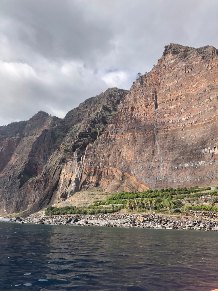
Very soon we came across another group of the same dolphin species, and the whole spectacle repeated itself. Apparently, dolphins are easy to spot, since they are very common and they welcome human contact. Whale sightings are rarer – we didn’t see any. On the way back, we went past the base of Cabo Girao, and admired the impressive cliff from the bottom.
Cabo Girao from the sea
With the excitement of filming the dolphins, I hadn’t felt sea-sick at all, but instead felt slightly queasy when I got my paws back on firm land at Funchal Marina. For dinner I had fresh dorado on the terrasse of my flat and tried a bottle of “dry” Madeira – which still tasted sweet to me but was very good all the same.
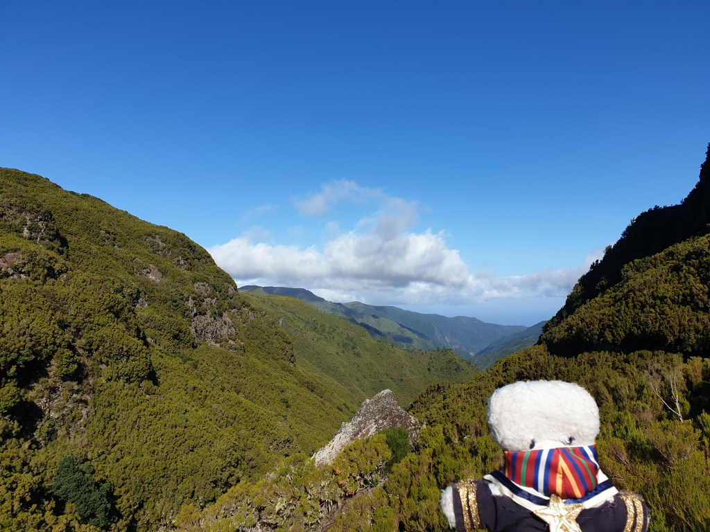
The next day was my last day in the villa on the west of Madeira, and I went for another walk up on the central plateau. Again, the drive was spectacular.
Yet another amazing view
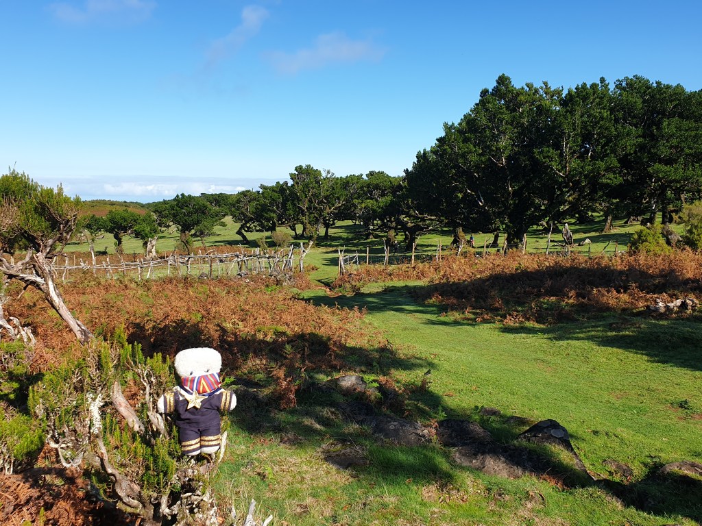
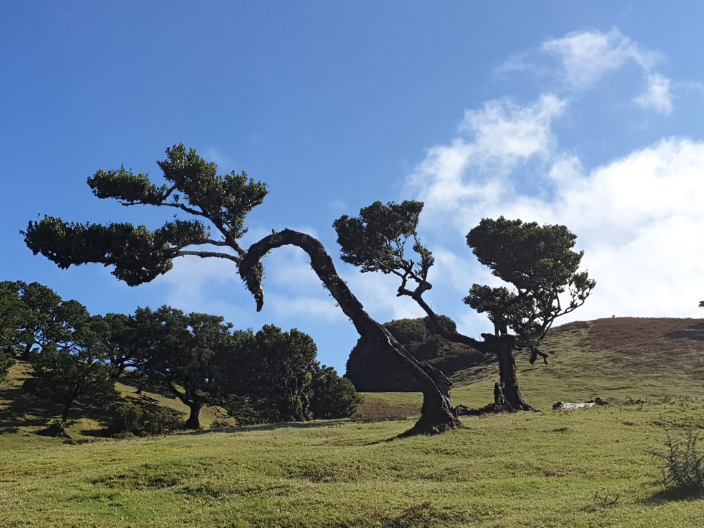
The walk was supposed to be one-way, requiring a taxi down the valley with the walk back up the mountain, but there were no taxis to be seen so I improvised. First I wandered around a beautiful meadow dotted with laurel trees and with views stretching far over the north coast. The wind had blown the trees into strange, twisted shapes.
A laurel wood on the high plateauThere is something human about the shape of this tree
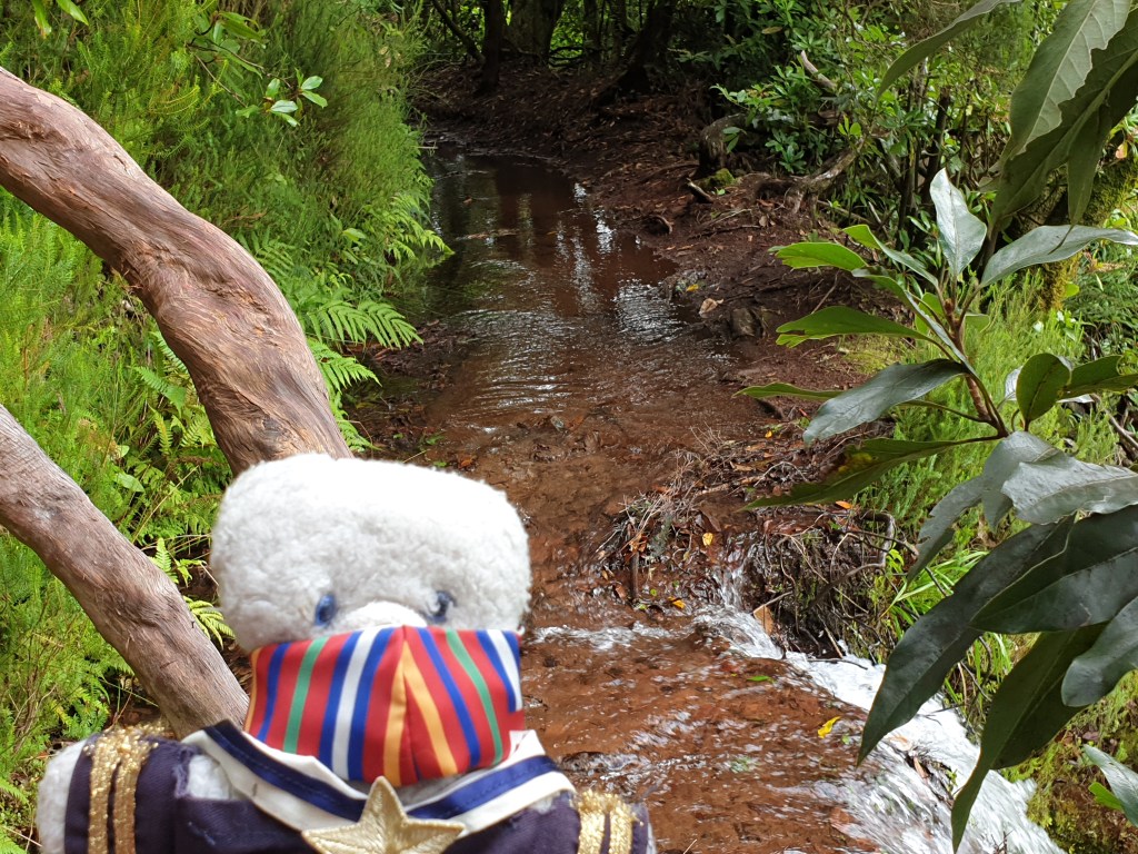
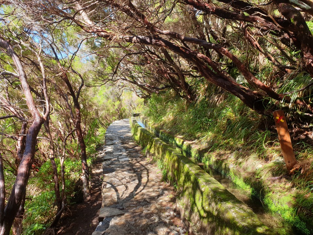
I found a mountain bike track that led gently downhill, into a thick laurel forest. There were lots of different paths for walkers and bikers, and I made my way streadily downhill following the detailed map that was displayed at the car park, and which I had snapped on my phone. The laurel forest transformed into a broom forest. Eventually I found the main path CR14 which led back gently uphill alongside another levada. It was a pretty path, but after and hour following it, I got a little bored continually having to navigate around the muddy pools that dotted the side of the channel.
The levada runs thorugh a thick forest with ferns
There seem to be levadas all over Madeira and I wondered how long it took to build them all. The engineering was impressive – the levadas run for kilometres with a continuous, gentle slope along routes that cling to hills and mountainsides. Occasionally a little side channel lets out some water to stop the main channel from overflowing. On today’s walk, one of these side channels had become blocked and the path had become flooded, so I had to get my paws wet.
Time to get my paws wet!
Finally, the path left the levada and headed straight up a very steep slope, emerging on the main road near the car park. I was tired and hungry but very happy with my improvised walk.
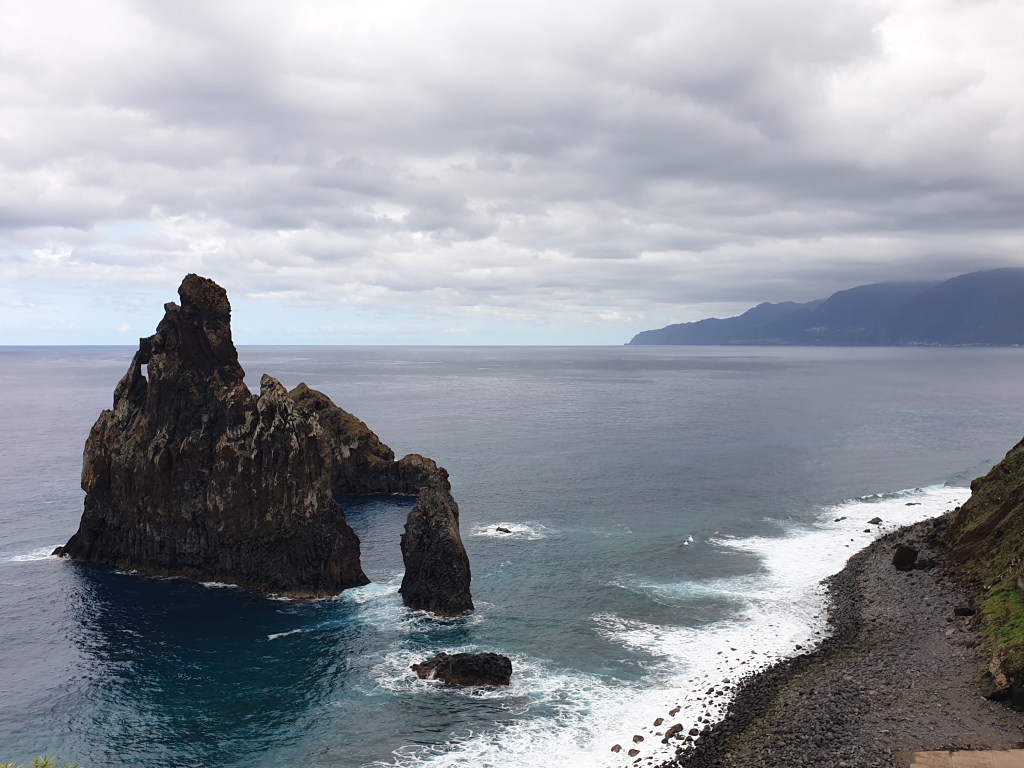
I continued the road down to Porto Moniz. At the coast I was rewarded with a view of a strange rock rising directly from the sea, which I had missed on my visit here a few days ago – I must have been inside a tunnel.
Back on the North Coast
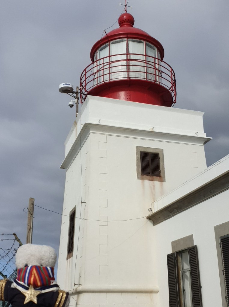
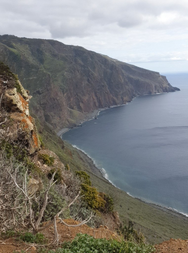
I drank a badly needed coffee and replenished my energy with a thick fish soup at an open-air café in the town, enjoying the view of the bay. I took the west coast road back home, and this time stopped at Ponta do Pargo to visit the lighthouse. This is the most south westerly point of Europe and if you sail out to sea in a straight line from here, the first stop will be America.
The lighthouse at the furthest edge of EuropeNext stop……America!
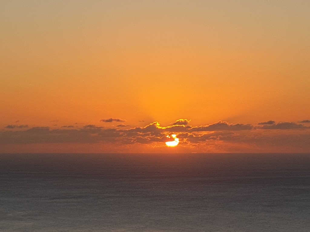
More fish for dinner back at the villa, and the first clear sunset of my stay to round off my time here.
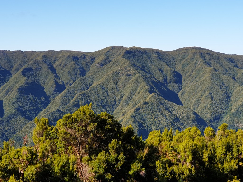
Today I shook off my apathy and went walking for the first time. I drove up a steep minor road that led all the way up to the central plateau right on top of Madeira and was rewarded by a straight road with fantastic views over the coast – and not a tunnel in sight!
The view from the Madeiran plateau
I was headed towards 25 Fontes, one of the most popular walks on Madeira, and the parking area at the start of the walk was already busy. I headed down into the valley, admiring the views,
The view down the valled
Then the path dived into a dense broom forest that ran alongside a levada (man-made water channels that run all around Madeira). I had always seen broom as little bushes and I didn’t know that it could grow into trees. It was a very pretty path and I enjoyed the alternating shade and sunshine, and the happy gurgle of the water.
Walking beside a “levada”
The path was narrow and I often had to stop to let other walkers pass. It was interesting watching the expression on people’s faces when this happened. Some looked happy and gave me a cheery “Bom Dia” or “Hello”, but others looked scared to be so close to another walker – even a teddy bear – and hurried past whilst frowning. Soon I arrived at the Cascada do Risco, a tall waterfall cascading down a sheer cliff, and hurried to take photos before more visitors arrived.
The Cascada do Risco
I then retraced my steps and took a new path along a different levada to the Cascada das 25 Fontes. In a big clearing, a wide central waterfall spilled down from the mountain, flanked by many smaller falls on both sides. To count 25 waterfalls required some imagination, but there were certainly a lot and it was a really pretty scene.
The Cascada de las 25 Fontes
From there I retraced my steps to the visitor centre and its cafe. I found a really good place to sit, with far reaching views of the valley. I also met some new friends to share my garlic bread with.
The view from the cafeNew friends!
To get back to my villa I chose a minor road leading very steeply down to Calheta on the coast – I was pleasantly surprised that I got there without getting lost, and that a little levada followed the road all the way down. At Calheta I bought fresh fish and wine for dinner to celebrate one of my best days so far on Madeira.
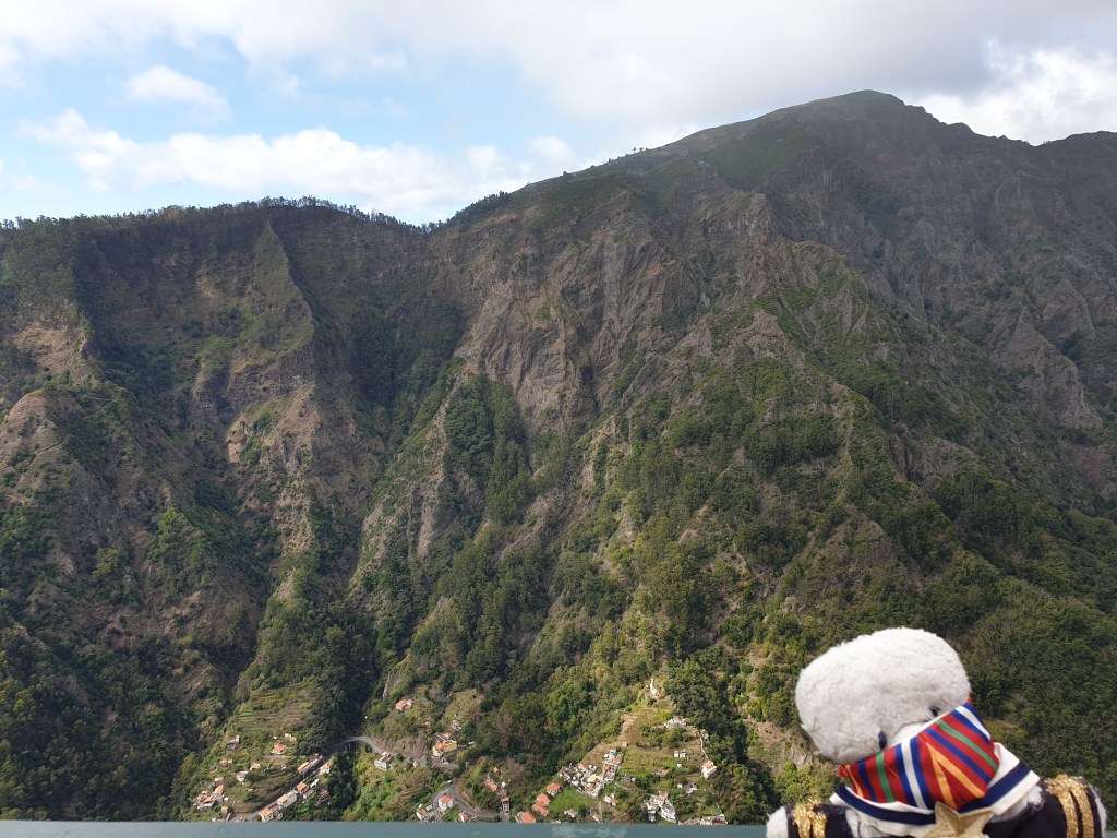
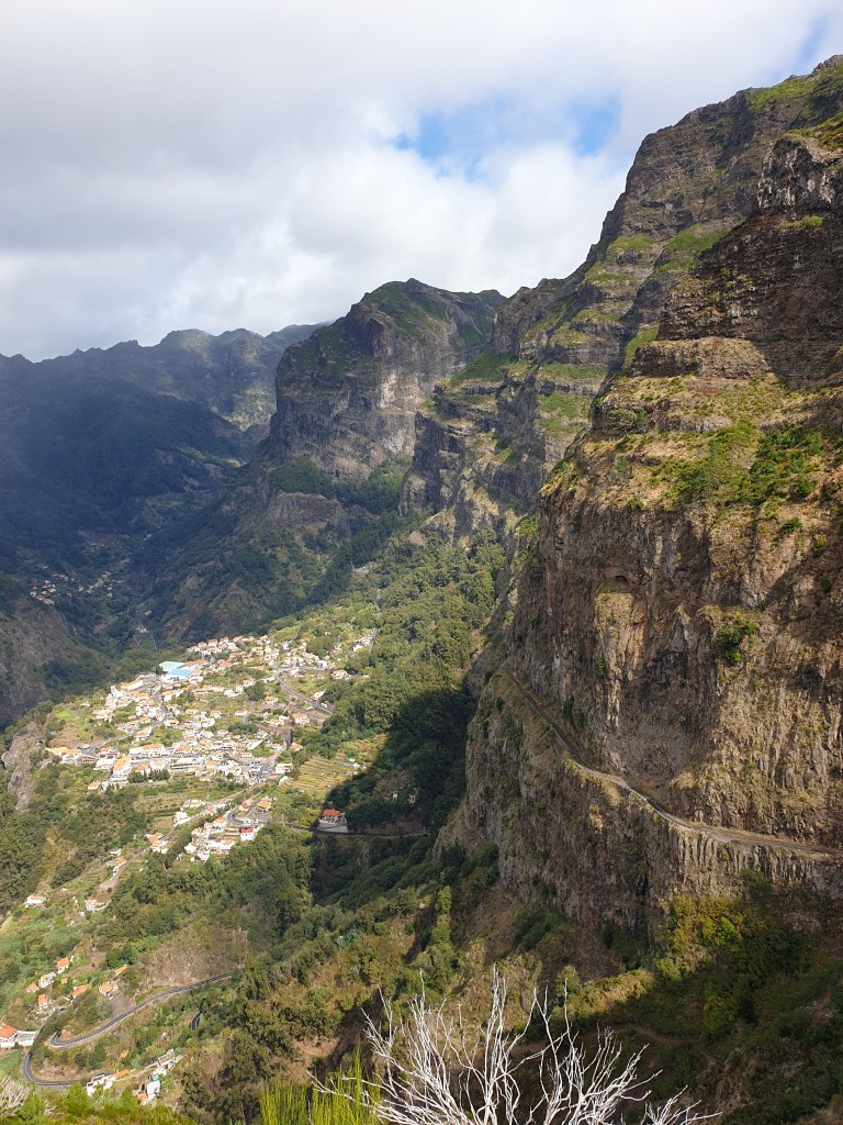
I was running out of things to do in the west of Madeira so the next day I decided to visit some attractions near the capital, Funchal, on the south coast. I was going to stay there for five days at the end of my holiday but knew that I wouldn’t have time to see everything. First on my list the Curral das Freiras, a remote village located high in the mountains a few km inland. It didn’t seem far – only 20km – but although the road was good and fast, it almost entirely consisted of dark, smelly tunnels. By the time I arrived at the turn-off for my destination, I was badly in need of fresh air, which the steep mountain road leading to Curral provided. The village was founded by a group of nuns escaping the pirates who used to attack the coast, and indeed you would have to be a very determined assailant to make it all the way there by foot or on horseback.
I made a detour to the Eira do Serrado viewing point on top of a mountain for spectacular views of the mountains and of Curral das Freiras itself, surrounded by towering peaks.
On the way up to Curral das FreirasAt the viewing pointCurral das Freiras and the old mountain road
I noticed the abandoned old road, which was now slowly falling away down the mountain-side, and which used to be the main road to the village. It had now been replaced – as almost everywhere on Madeira – by a direct tunnel, but I had already had an overdose of tunnels and I decided to give this one a miss. I couldn’t see how the view could be any better down in the village than it was up on top of the mountain.
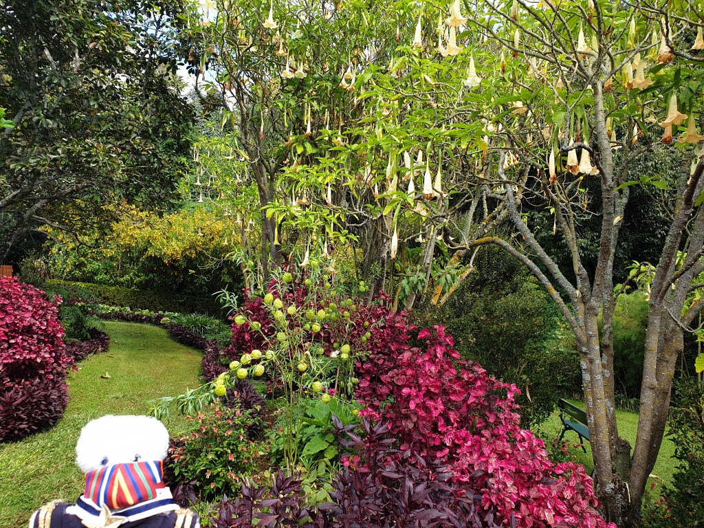
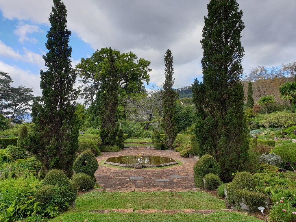
My next stop was the Jardim de Palheiro, on the east edge of Funchal. This garden is part of a private estate of an old Madeiran family, that now includes a hotel and golf course. It was surprisingly hard to find, and though pretty, was a little small.
The exotic plants of the Jardim do PalheiroThe gardeners have chosen some strange shapes for the topiary….
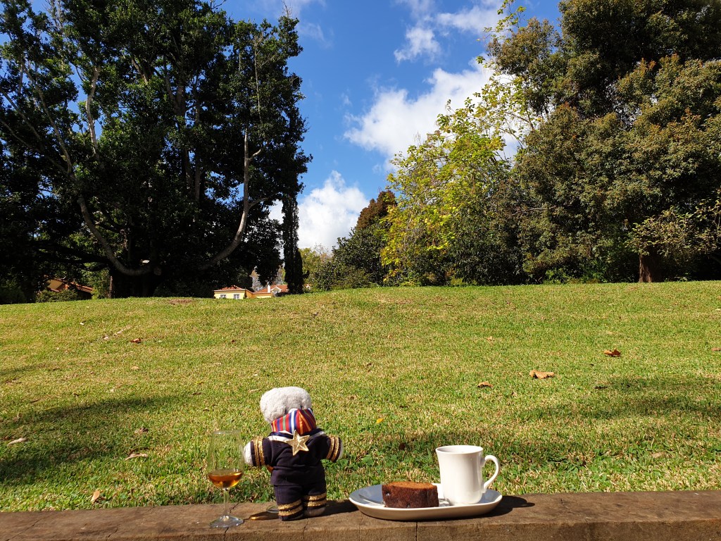
Considering the effort needed to get here, I was a bit disappointed – maybe October is not the best season for the gardens on Madeira. I consoled myself with some tea, cake and my first glass of Madeira in the garden’s café.
Madeira, tea and cake – how civilised!
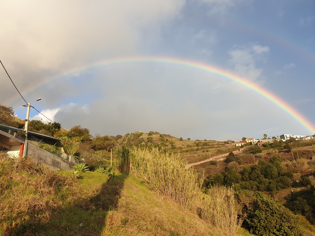
After enduring the endless tunnels of the southern highway on the way back, I sat on my sun-lounger in my villa’s garden and was lucky enough to see my first ever complete rainbow. Today I had done everything I had set out to do – but I preferred the unplanned freedom of my exploration of the north coast of the day before.
The next day I set off with the intention of doing a walk in the mountains in the north of Madeira, and then maybe visiting the lighthouse at Ponta del Pargo – the most south westerly point of Europe – on the way back.
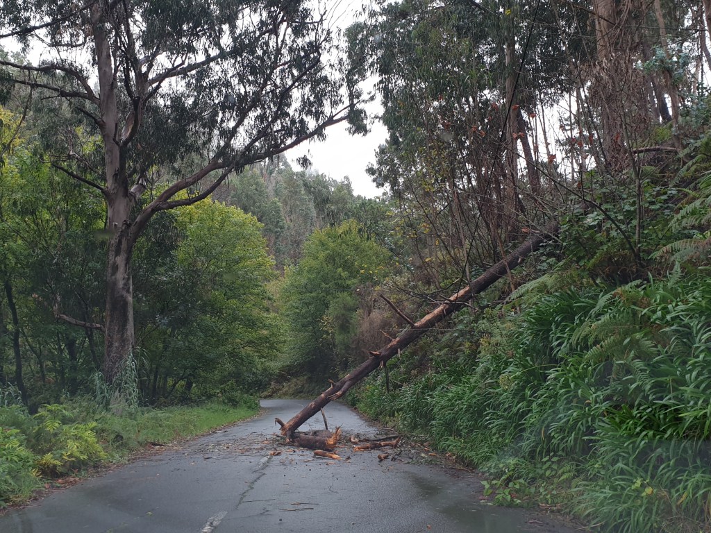
I took the main road around the far west of the island, which unlike the south, had yet to be “improved” with tunnels. Even though it was raining the road was pretty. It ran through woods of pine and eucalyptus and a pleasant smell of wet forest filled the air. The heavy rains and winds of the past few days had created a few hazards on the road, in the form of fallen rocks and one large fallen tree.
Unusual hazards on the roads of Madeira
It was slow driving along the winding mountain roads, but I finally made it to Porto Moniz, at the extreme north western tip of the island. This town is famous for its natural pools of seal water, formed by volcanic rock formations stretching into the sea.
The spectaculaar coast and natural rock pools of Porto Moniz
There was a solitary bather in the pools. I dipped my toe in; the water was not too cold, but it wasn’t sunny enough to consider swimming. Instead I admired the beautiful seascape and the contrast of the blue sea, the white surf, the green mountains and the stark black volcanic rock.
I decided to change plans. The walk through the forest was going to be steep, and would be very slippery after the rain, so it would be better to do this another day. Today I was enjoying simply driving and exploring, making things up as I went along. It reminded me of my early carefree backpacking days where I would set off to a destination with no firm plan, no bookings, and sometimes not even a guidebook.
Typical north coast scenery
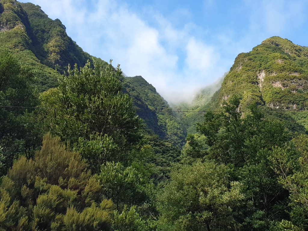
I drove along the north coast, admiring the views, and then took an interesting looking side road that that led steeply up into the mountains. After a few km the road petered out at the start of a walking trail; I stopped to take photographs and breathed in the fresh mountain air.
The mountains inland
Next I headed back to the coast. I reached the town of Seixal, which also has volcanic rock pools, took more photos and stopped for a coffee.
The natural rock pools at SeixalMore rock pools….
The weather continually changed – sometimes cold and showery, sometimes hot and sunny. The sea air made me feel relaxed and sleepy. I headed back home not having done any of the things that I had planned to do that day, but with a strange feeling of contentment.































 Trouspinet travels