Today I made a day trip out of Lecce down to the very tip of Italy’s heel. I drove a short distance east to reach the coast, and then headed south. At first the road was not especially scenic as it went through a series of seaside resorts, some of which were so shabby that even the backdrop of the deep blue Adriatic Sea could not make them attractive. After an hour things improved when I reached the historic city of Otranto. This has Roman origins but is most noted historically for a particularly bloody event in 1480, when an Ottoman force laid siege and eventually captured the city after a fierce struggle. Much of the population was slaughtered in the aftermath of the battle, including the bishop, who was sawed in half. Surviving women and children were sold off into slavery, but eight hundred male survivors also remained. They were offered a choice – execution or conversion to Islam. All chose the former and were martyred on the spot.
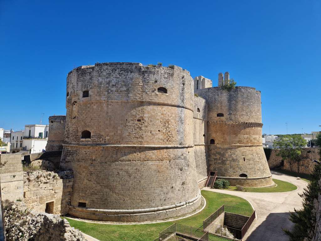
Otranto’s castleOtranto’s port
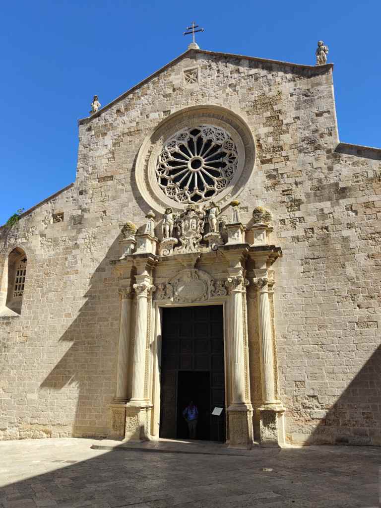
Otranto is now a pretty town with an imposing castle and an interesting looking duomo (cathedral). Seeing a large tour group enter, I opted to explore the winding streets of the old town first, but on returning found that the duomo had closed for a two-hour lunch break.
The outside of the Otranto’s Duomo
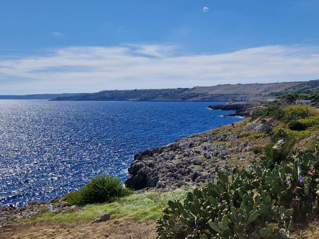
I continued my drive and the scenery became more beautiful and the seaside towns smarter, some with some interesting Moorish-style buildings.
The coast south of OtrantoOne of the moorish-style buildings lining the coastal road
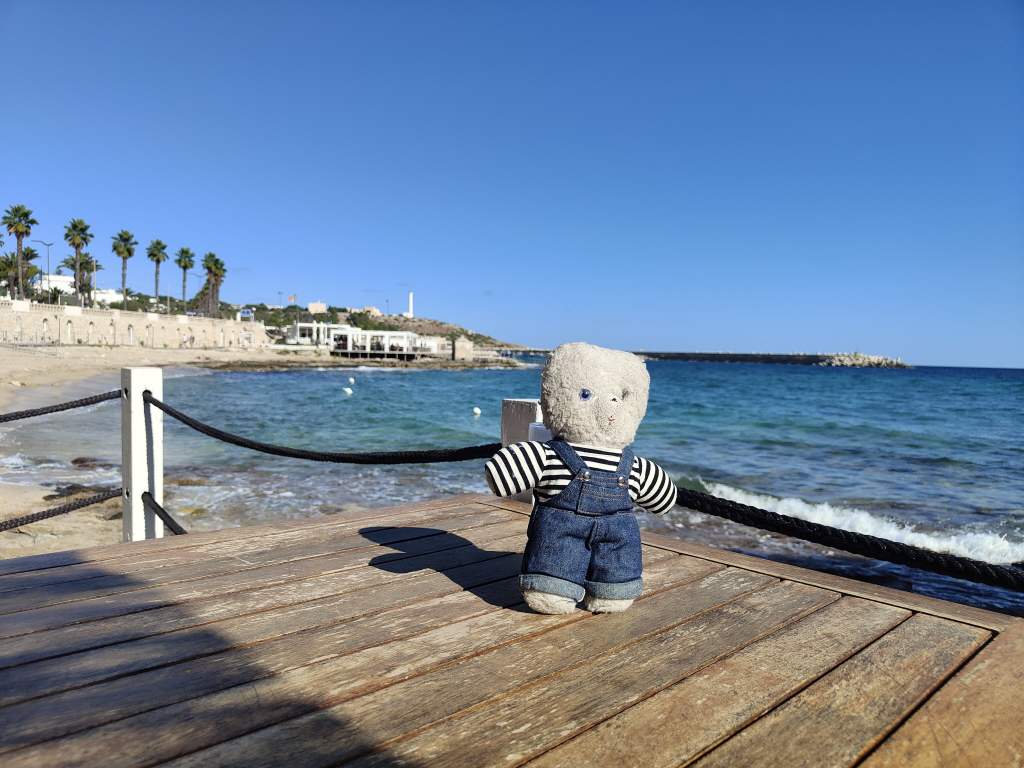
My final destination St Maria de Leuca was a pleasant enough place, located at the very tip of Italy’s heel. I stopped for a coffee to celebrate reaching one of the extremities of Europe.
The end of Europe! Santa Maria de Leuca
One my drive back to Lecce I discovered what was probably the highlight of the day – Presicce, yet another beautiful small Italian town where time seems to have stopped. I arrived in the late afternoon to find the place almost deserted and all of the shops and cafes shut, except for one bar in front of the town’s ancient church. The hot sun and somnolent town risked sending me to sleep, so I ordered a gelato and coffee to wake me up before exploring a bit more.
Presicce’s beautiful church….….and pretty but empty streets
The town was exceptionally beautiful but seemed to be not only completely off the tourist trail but also slowly dying as native people left; I noticed several houses with “for sale” signs on them. This depopulation of small rural areas is a big problem in Italy’s south, so much so that the government offers tax breaks for people to go to live in small municipalities. But although Persicce was a wonderful place to visit for an hour so, it was so quiet that I wondered how I could possible live there, and headed back to enjoy the relatively busy street life of Lecce for my last evening there.
My next destination was Lecce in Puglia, an ancient city famed for its baroque buildings. Lecce was first settled in pre-Roman times, became a Roman city with an amphitheatre which survives to this day, and then spent the next few centuries changing hands between Ostrogoth invaders, the Eastern Roman Empire, Normans and Lombards. It eventually ended up as part of the Kingdom of Naples in 1463, and had a period of peace and prosperity that saw a building boom of baroque-style churches in the 1600s. Today Lecce is a popular tourist destination with a compact old city centre, which is a joy to visit on foot.
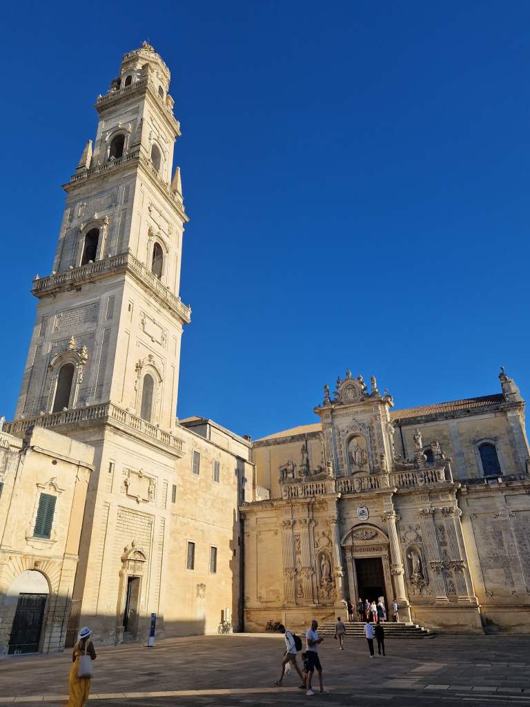
I spent a full day exploring Lecce, wandering down old streets from one beautiful baroque building to another. There are famous sights, which attract tourist groups, like Lecce’s Duomo –
Lecce’s Duomo in mid afternoonInside Lecce’s Duomo
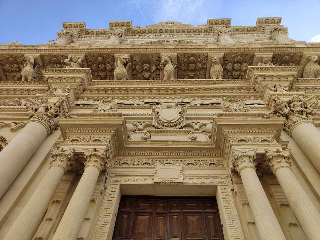
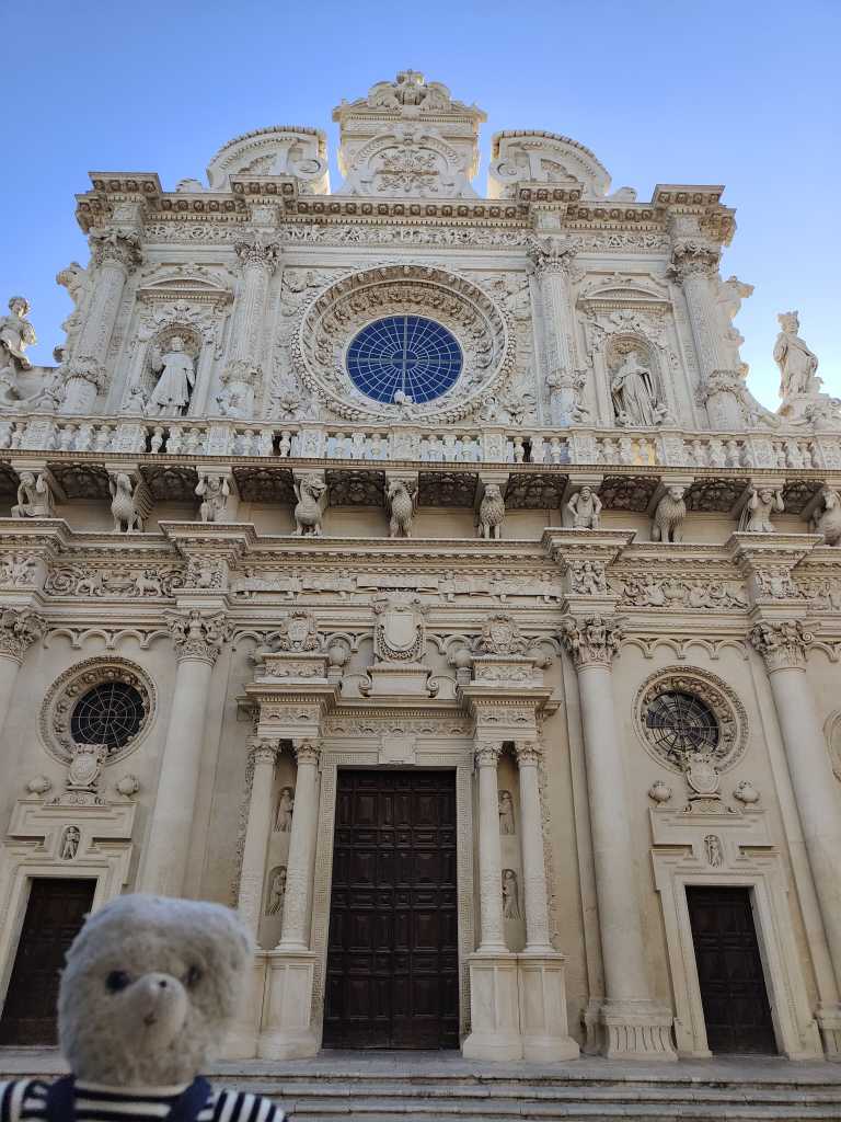
…..and the stunning Basilica di Santa Croce
The Facade of the Basilica Santa Croce
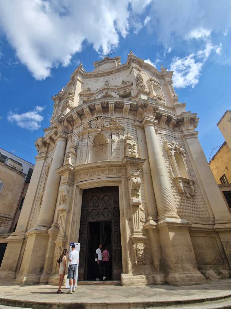
Then there are less-known baroque churches which are part of a multi-site ticket issued by the tourist office, like San Matteo –
San Matteo Church
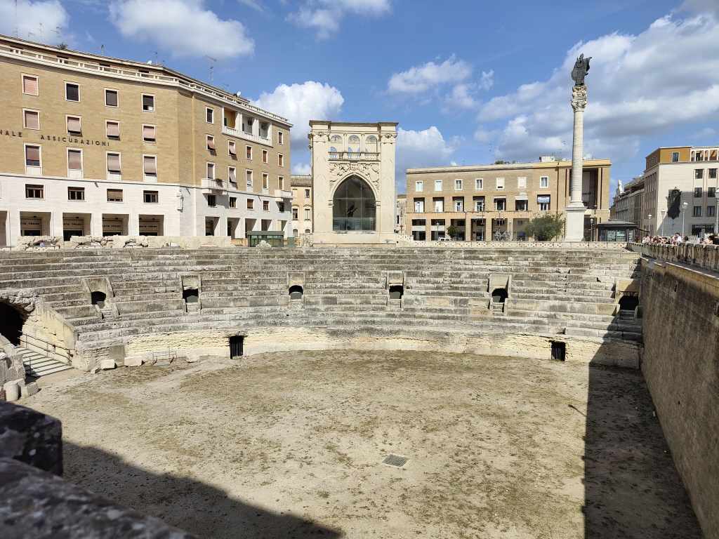
The Roman amphitheatre however is a bit of a disappointment if you have travelled a lot like me…..
Lecce’s Amphitheatre
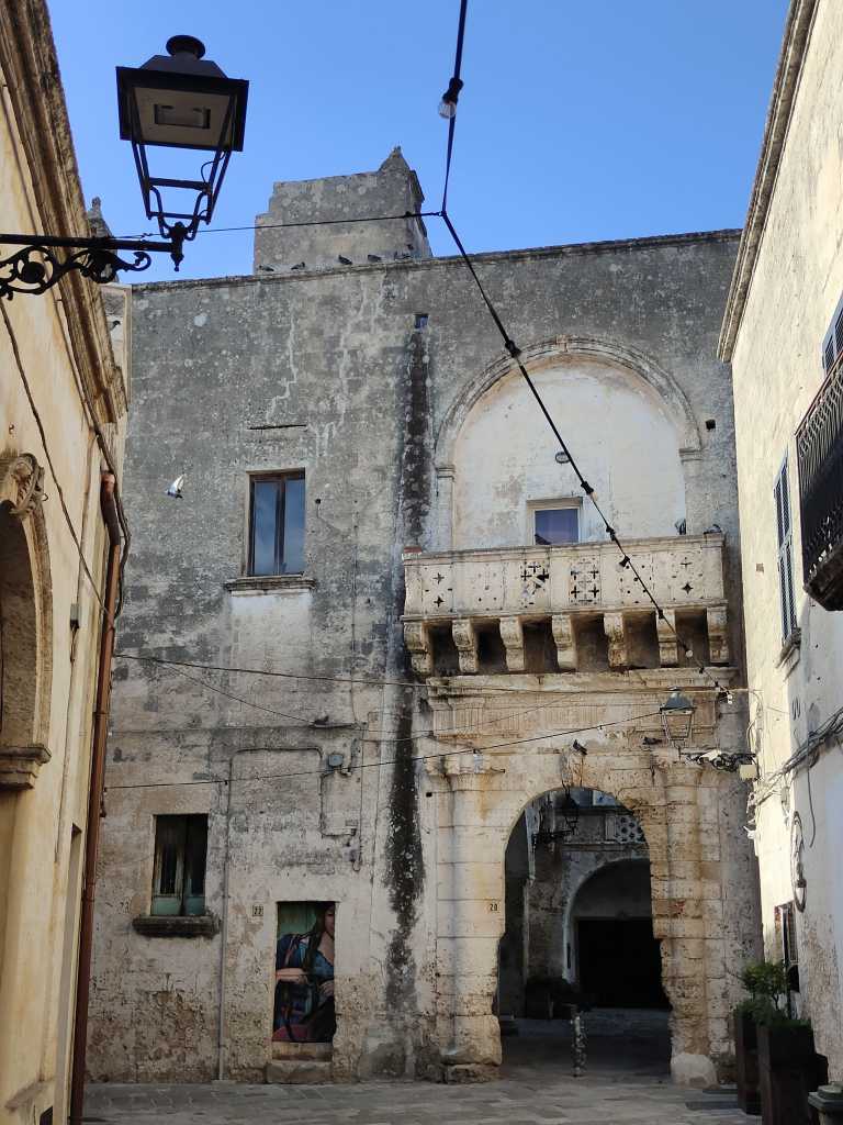
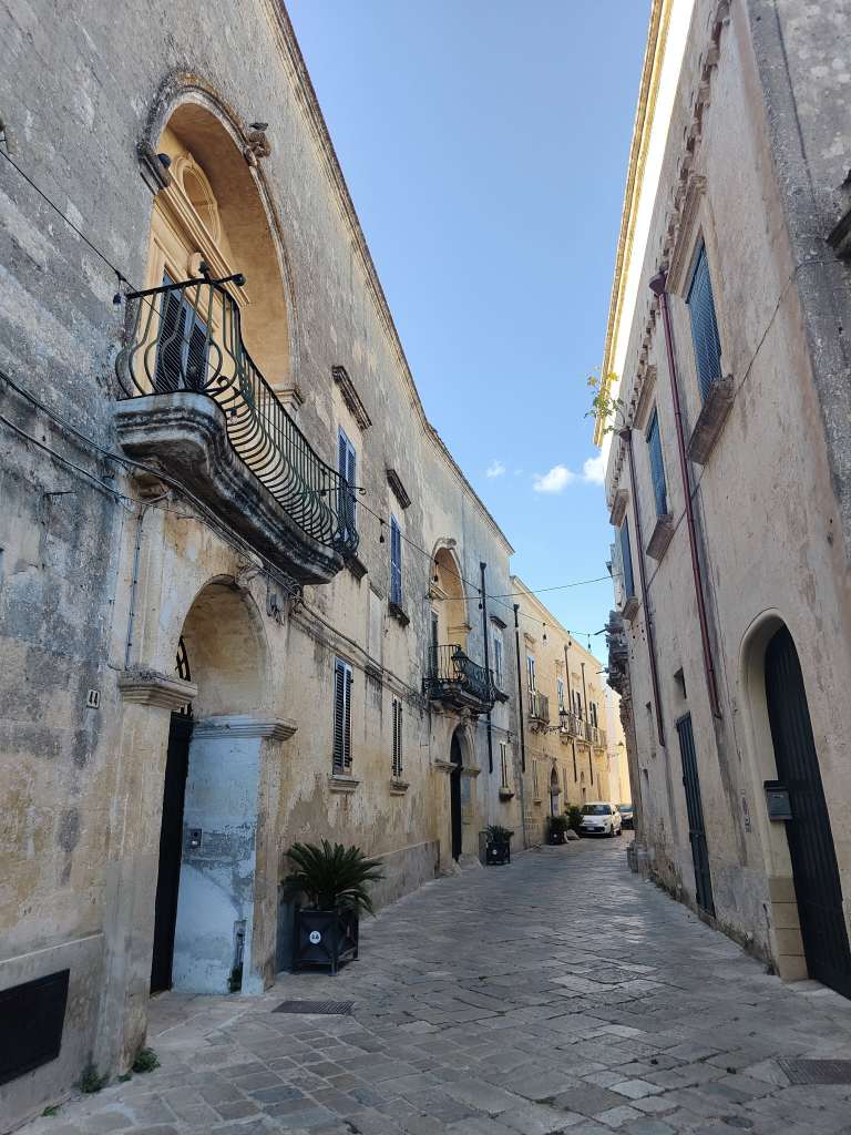
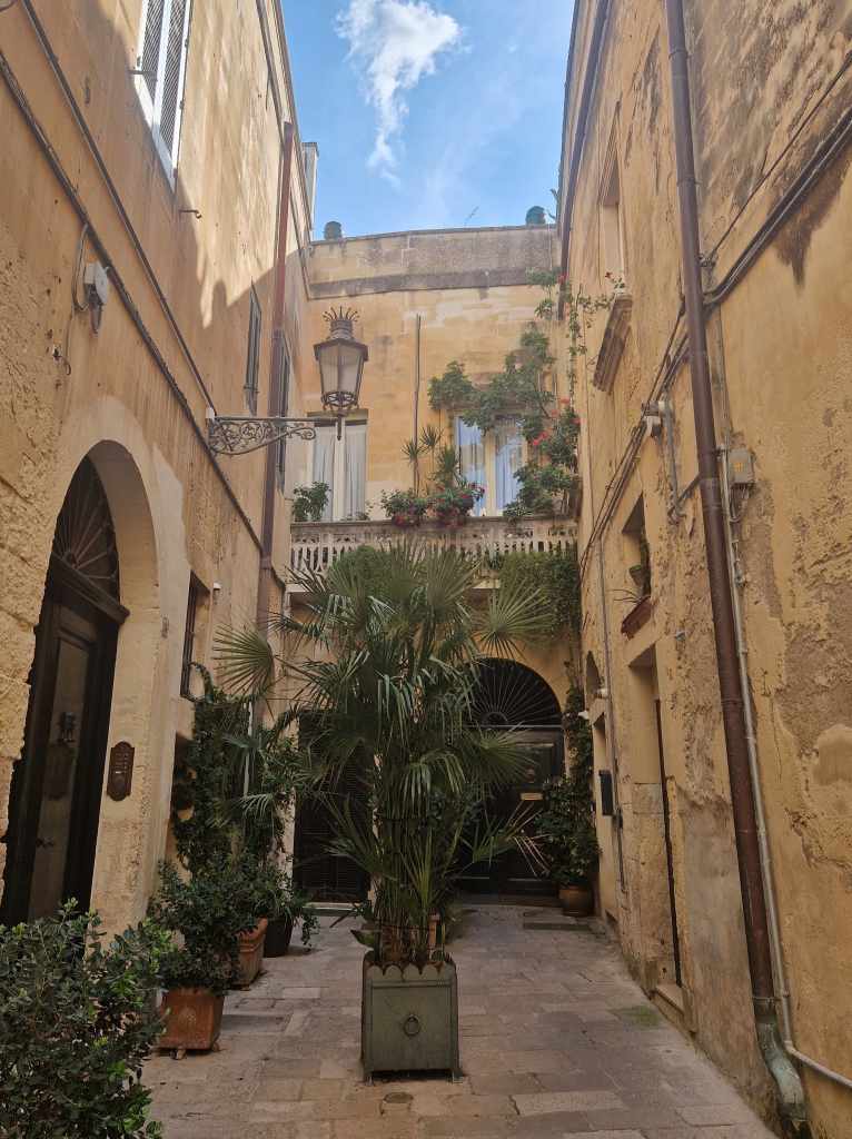
Probably the real joy of Lecce though is wandering around from cafe to cafe during the day and bar to bar at night, catching a glimpse of everyday buildings where people still live but which still have astonishing baroque features – like this quiet courtyard…
Quiet Courtyard in Lecce
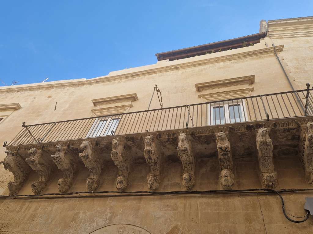
…..or this balcony…..
Balcony detail, Lecce
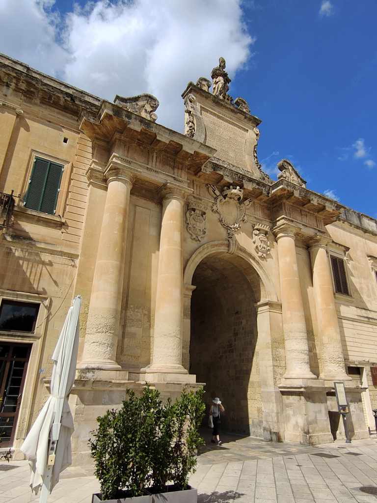
…or this gate leading into the old city.
Entrance Gate to the Old City
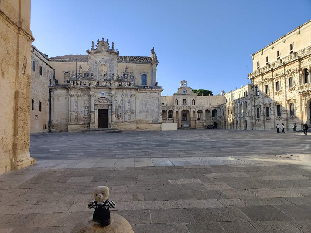
Once I had seen the major sites in Lecce once, I visited them again and again, enjoying how the atmosphere changed in the light of early morning or the evening. So here is the Duomo again, twice…..
The Duomo at Night, LeccePiazza del Duomo in the early morning
and Santa Croce……
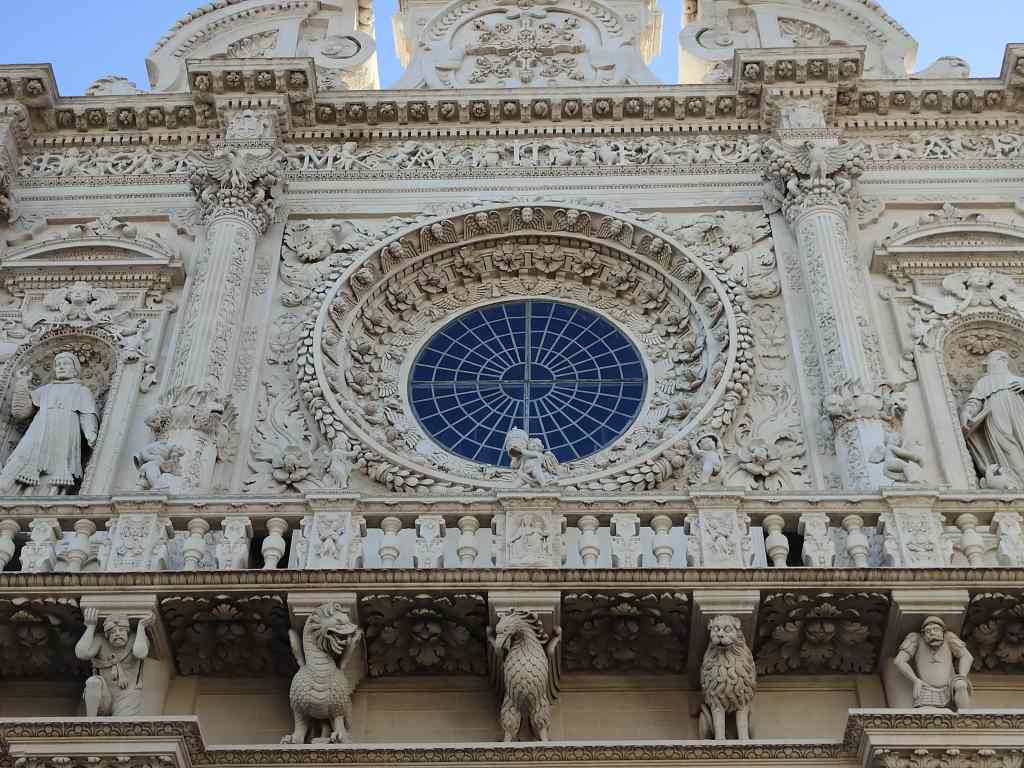
Santa Croce Basilica at Night….Santa Croce in the MorningThe Amazing Carvings on Santa Croce’s facade
It all made for a very satisfying, relaxing stay. But as I sat down in front of my computer at the end of the day, I wondered what to write for my blog. There had been no problems, no amusing episodes or unique experiences to write about. I had simply had a very nice time in a beautiful city. So I decided to let the pictures do the talking for me, and this post has a lot of them, but few words.
The next day I said a sad farewell to Amalfi as I took the ferry yet again – south this time, to Salerno, where I picked up my hire car and then drove south west inland towards my next destination, the city of Matera. This is an ancient settlement, probably first inhabited in distant prehistory as a series of cave dwellings carved into the soft limestone of the cliffs of a steep ravine. In the Middle Ages the city grew to fill the ravine’s western side, and then spilt over the top of the cliff onto the surrounding plane or “Piano”. Over time, richer people moved up to the Piano, whilst the lower areas of the city, known as the “Sassi”, became crowded and desperately poor. In the 1950s the Sassi were declared unfit for human habitation and the government forced its inhabitants to relocate to new housing in the Piano. In 1986 a new law allowed reoccupation of the Sassi, and a wealthy new middle class started to move in. The area has now become a thriving tourist and cultural centre.
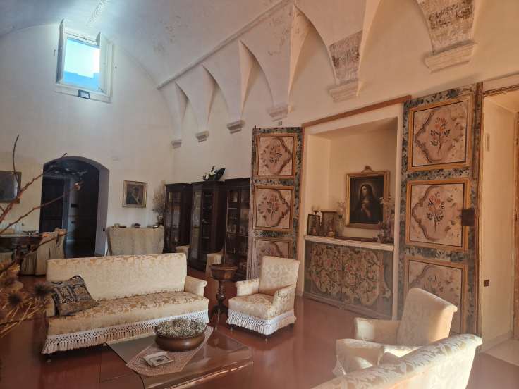
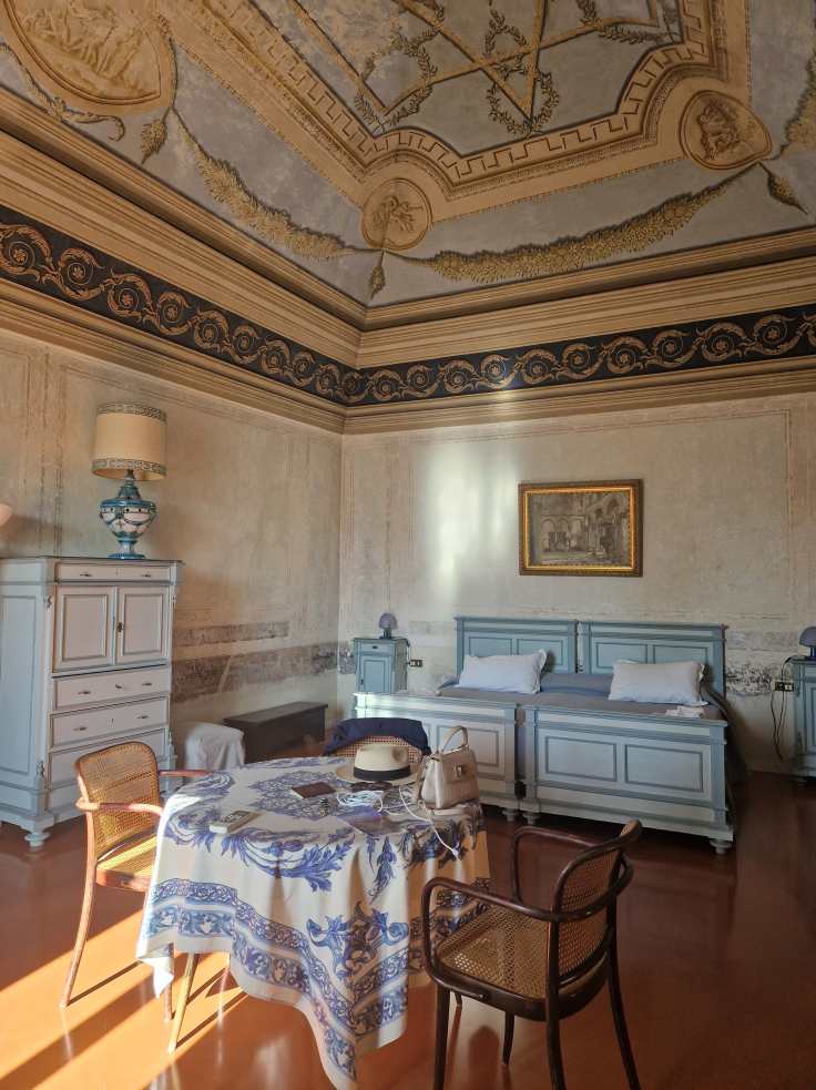
The first highlight of my visit to Matera was my accommodation – a large “palazzo” on the very edge of the Piano, whose aristocratic owner lets out three of her rooms to tourists. My rooms were enormous and had a faded elegance that I found charming.
My hotel room in Matera
The palazzo also had a garden with views over the Sassi, and after admiring the view, I set off down a set of steep steps to visit them.
View of the Sassi from my palazzo’s garden
The Sassi are an extensive maze of old buildings and narrow passageways, and my exploration lasted a full day and a half, with occasional trips back to my rooms to rest during the hot afternoon sun.
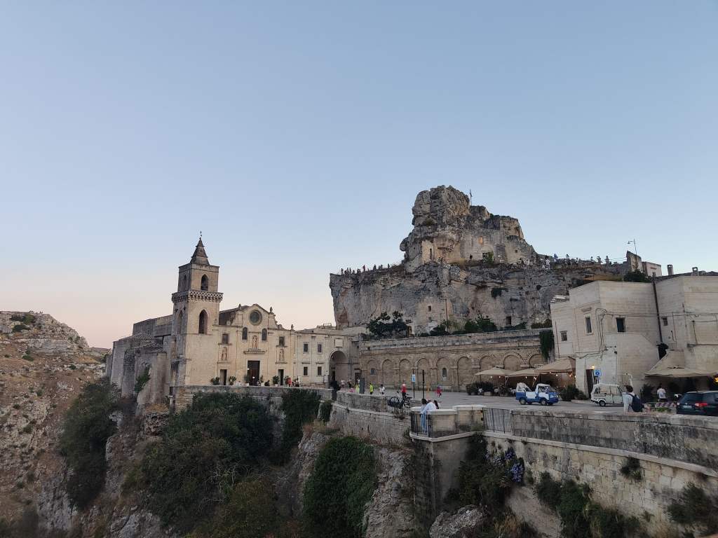
In the Sassi. On the hill, carved out of the rock, is the Church of our Lady of Virtue
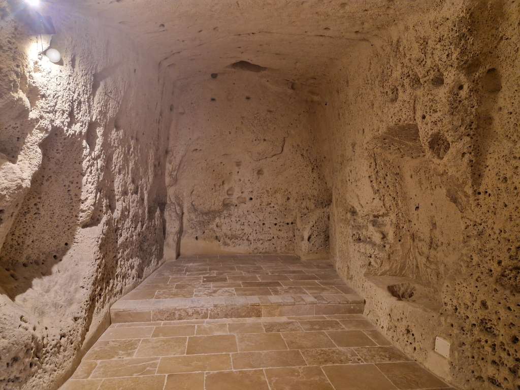
The area includes bars, restaurants and souvenir shops – but not so many as to spoil the atmosphere – as well as many ancient churches, some of which are carved out of the rock. You can also visit places showing the history of the Sassi – for example caves where an entire family and their animals fitted into one small living space, with no running water.
A cave where a whole family and their animals livedA cave complex where wine barrels were stored
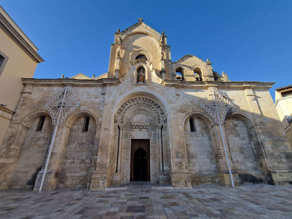
I bought a ticket to visit a group of three rock churches managed by the local tourist board, and had great fun trying to find each church on the list.
Another hidden church in the Sassi
Indeed, simply wandering around the Sassi and discovering secret courtyards, narrow alleyways, and new perspectives for photos was a wonderful experience and made Matera one of the highlights of my Italy trip so far. My exploration also took in the upper city or Piano, that includes the fine cathedral and many more beautiful churches.
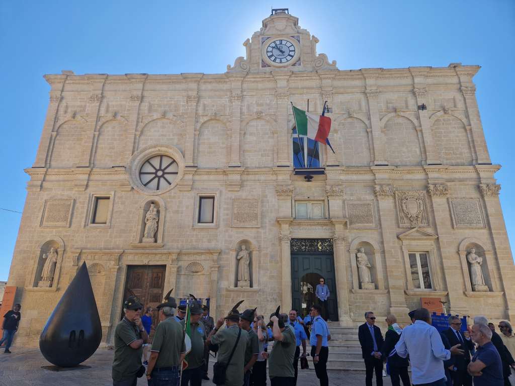
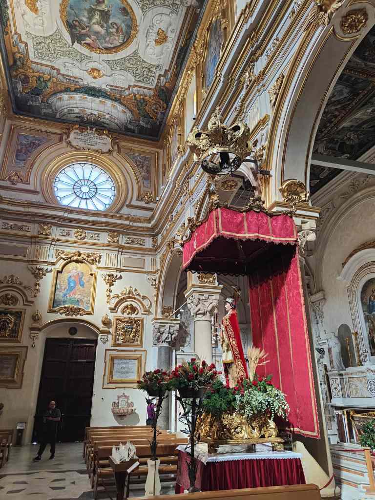
A fine building in the Piano, now a museumThe interior of the Duomo in the Piano
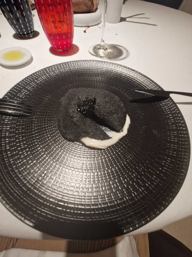
The transformation of the Sassi slums is now so complete that the area hosts three Michelin-starred restaurants, one of which I tried on my first night.
“Black pizza” in a Michelin-starred restaurant in the Sassi
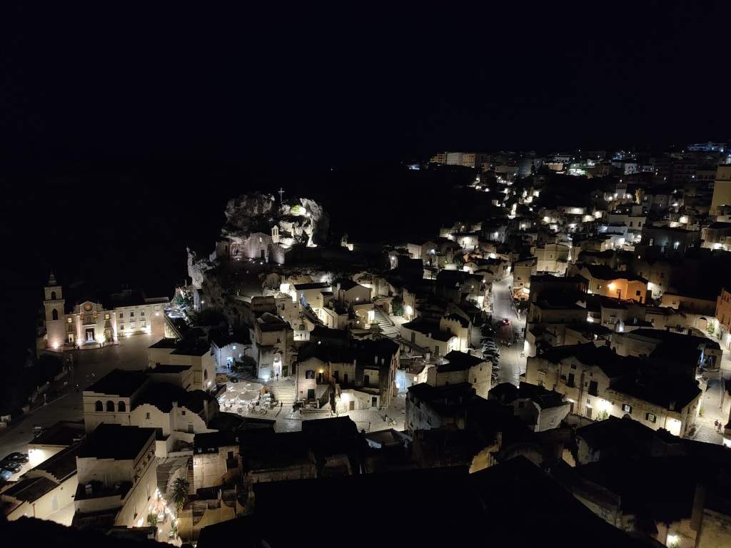
Dinner on my second night was simpler – I bought a pizza and bottle of wine from a nearby shop and enjoyed watching the evening’s shadows grow and slowly swallow the Sassi below. I noticed small groups of people on the top of the other side of the ravine, and on checking my guidebook found that this was a national park with yet more churches carved into the rocks and belvederes offering fine views back over to Matera.
A nighttime view of the Sassi
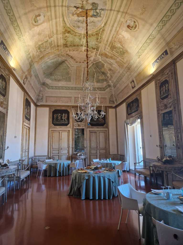
On my last morning in Matera I had breakfast in one of the elegant rooms of the palazzo….
My palazzo’s dining room
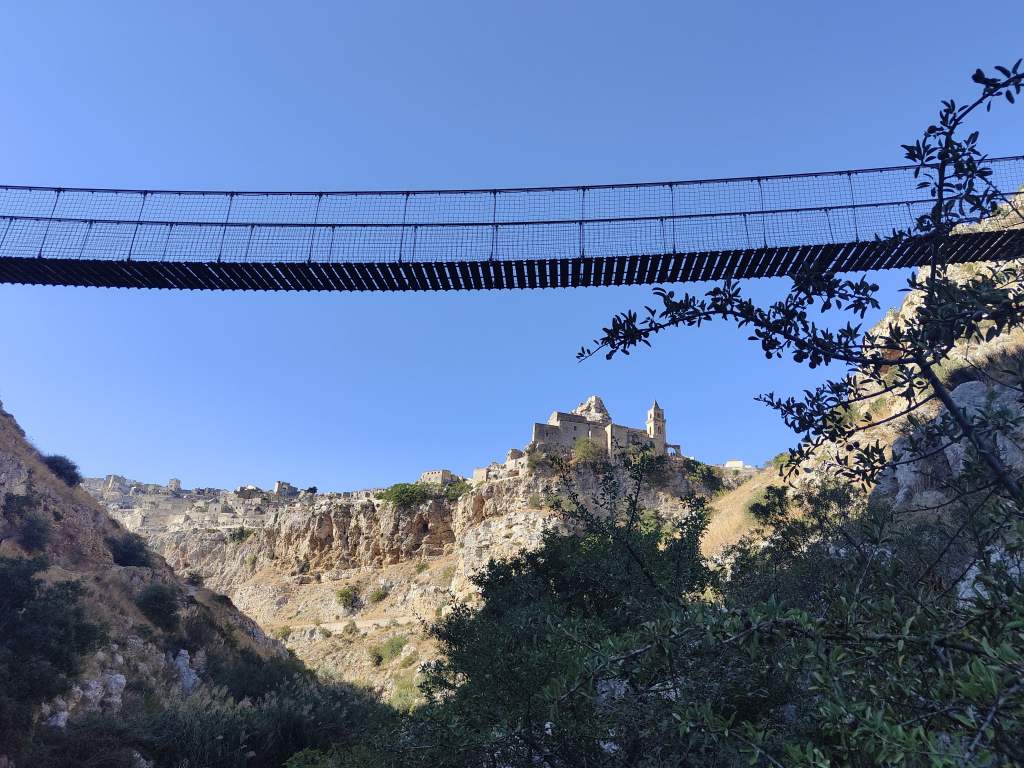
….. before quickly making one last trip into the Sassi, and then further down to the base of the ravine where a suspension bridge led across the small river.
The suspension bridge leading to the other side of the ravine
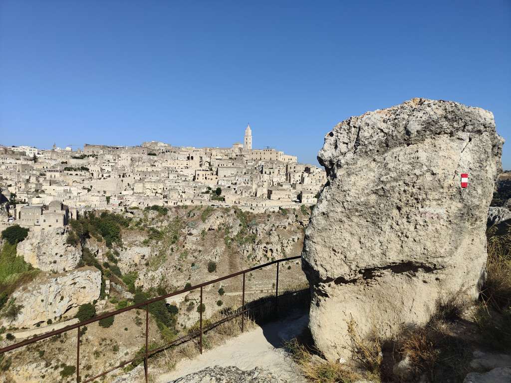
I then clambered up the other side of the ravine to get one last view of Matera. I had never heard of the city before starting the planning for this trip, but yet it was certainly one of the highlights. Let’s hope that it remains relatively unknown so that I can come back one day and enjoy wandering around its Sassi once again, without the crowds of more popular Italian tourist destinations.
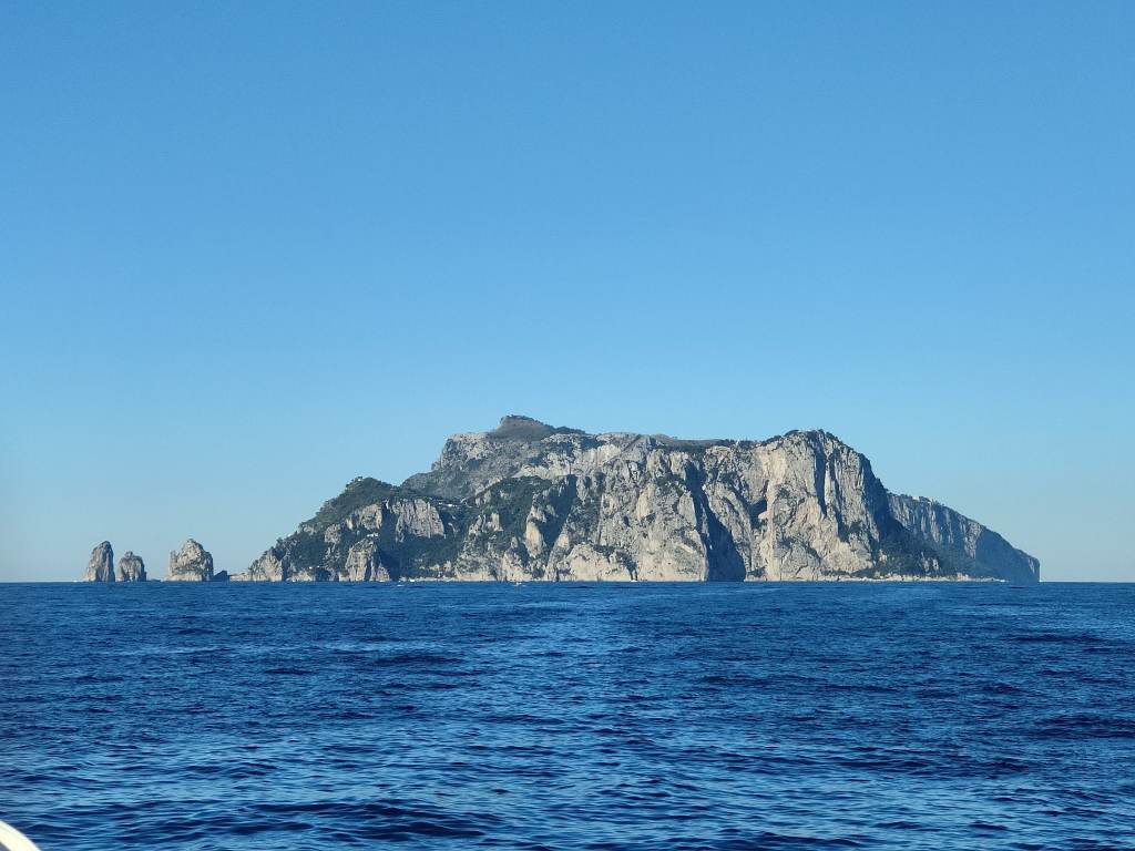
Today I made a day trip to the island of Capri in the Bay of Naples. I took a morning ferry and was soon cruising past the now familiar landscapes of the Amalfi Coast. After stopping at Positano, the boat struck out into the sea, and my destination grew ever bigger on the horizon in front of me.
Approaching Capri Island
Capri became famous in Roman times, when Emperor Augustus claimed the island for himself and developed it as a private resort with temples, villas and gardens. However, Capri is most associated with his successor, Emperor Tiberius, who moved here permanently in 27AD and ruled the Roman empire from the luxurious Villa Jovis until his death in 37AD. Capri then fell into decline, until the 19th century when it was rediscovered by European artists and writers. In more recent times Capri became a popular tourist destination for “jet set” film stars in the 1950s and 60s. However these days the island has a mixed reputation, with some praising its continuing beauty and others talking of over-tourism and crazy prices. Today I would form my own judgment.
As my ferry docked in Capri’s large port (far busier than any of the others in the region, including the one in Naples), I was tending to the “over-tourism” view. Travellers milled around, seeking guidance from their phones, touts promoted boat tours around the island, and the girls staffing the tourist information booth looked very bored and pointed me towards the ticket office for the cable car with a notable lack of enthusiasm – forgetting to tell me that you can also pay by credit card and don’t actually need to buy tickets.
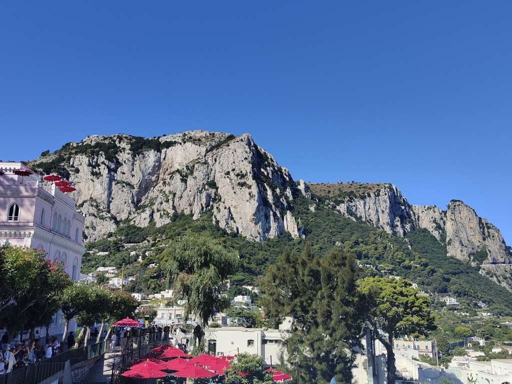
The cable car was a crowded but convenient way to make the steep climb from the port to the town of Capri, the main settlement on the island.
Capri town is surrounded by mountains
The town was a mix of squares and main streets packed with tourists and lined by luxury shops, and quieter side-streets – down one of which I headed on the way to my first destination of the day. As soon as I left the town centre, Capri became very pleasant – narrow lanes wound up the mountain, passing the locals’ villas – some luxurious and modern, some old and crumbling but still charming. I occasionally had to make way for one of the special electric carts used to transport luggage and people around the town (cars are banned), but otherwise there were very few fellow toursists.
Behind closed doors – an elegant villa on Capri
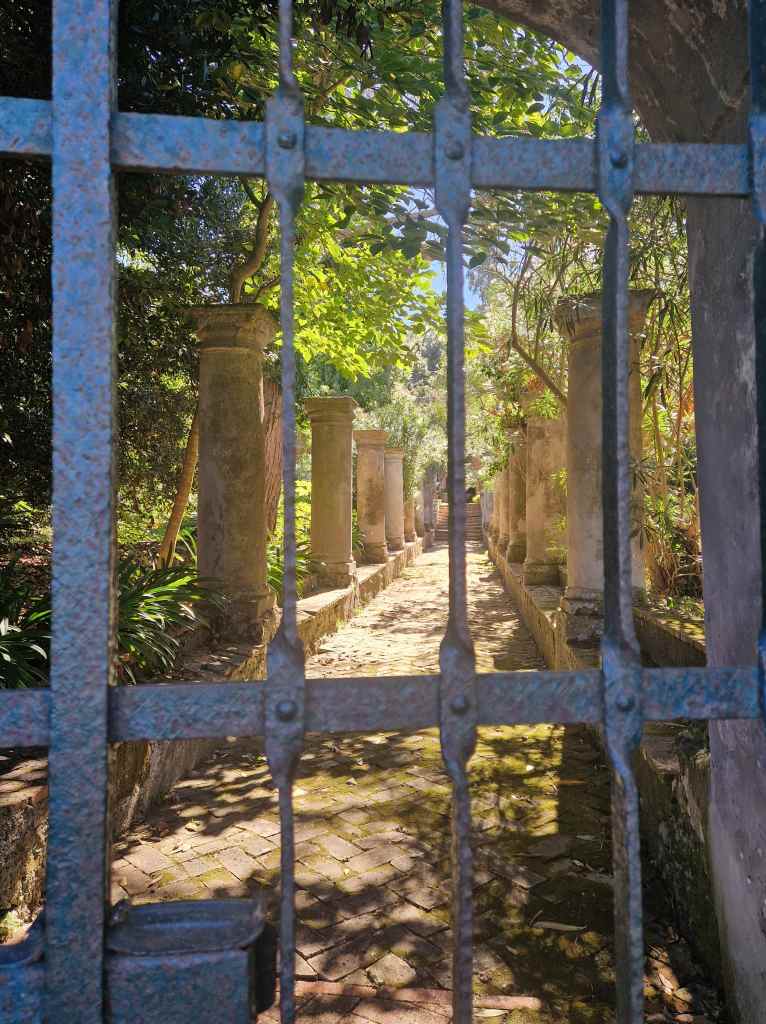
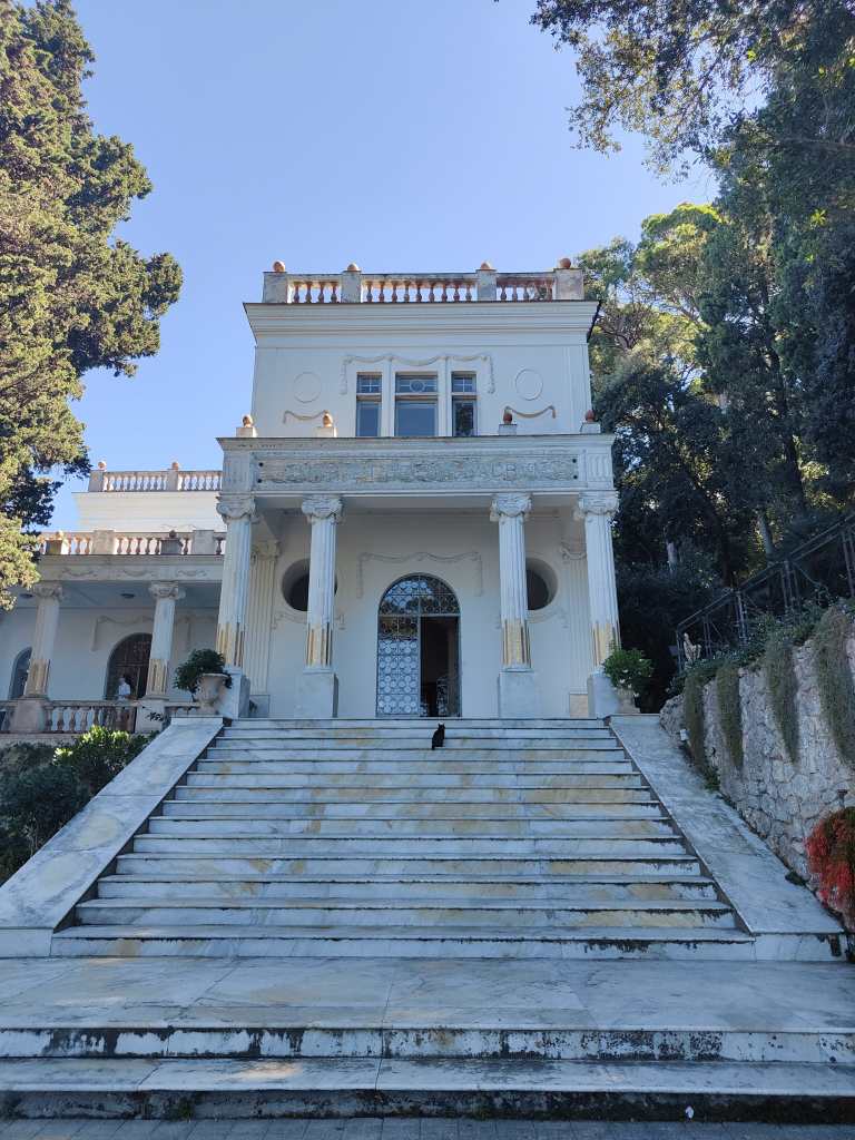
After a very pleasant twenty minute stroll I reached Villa Lysis, a home built by the rich Baron Fersen, who had been forced to leave his native France following various sex scandals. In 1904 he bought a plot of land on Capri in a prime location, overlooking the Bay of Naples, and commissioned the elegant villa and surrounding gardens that can be visited today. There he enjoyed a dissolute lifestyle with various lovers, turbo-charged with opium and cocaine until his death in 1923. Whatever one might think of Fersen, he certainly had taste and the views from his home are absolutely stunning.
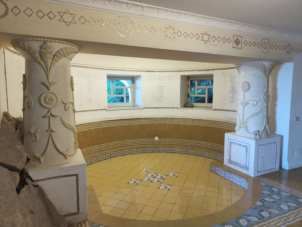
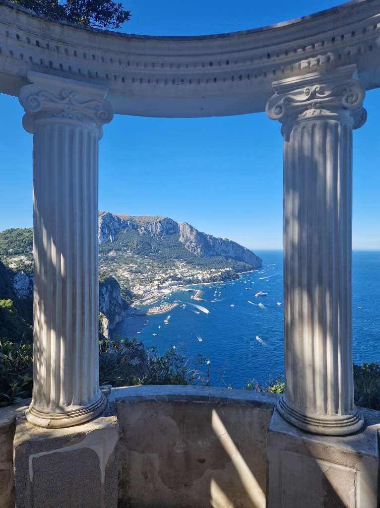
Baron Fersen’s villa……which includes an opium den….…and which offers stunning views
It was so beautiful that it was hard to drag myself away from Villa Lysis, but as midday approached I knew I had to move on if I wanted to see more of Capri. I found a small trail that led through a forest around the coast and arrived at Villa Jovis, once the luxurious palace of the most powerful man in the world……and now an atmospheric ruin, visited by a small number of tourists and inhabited by goats.
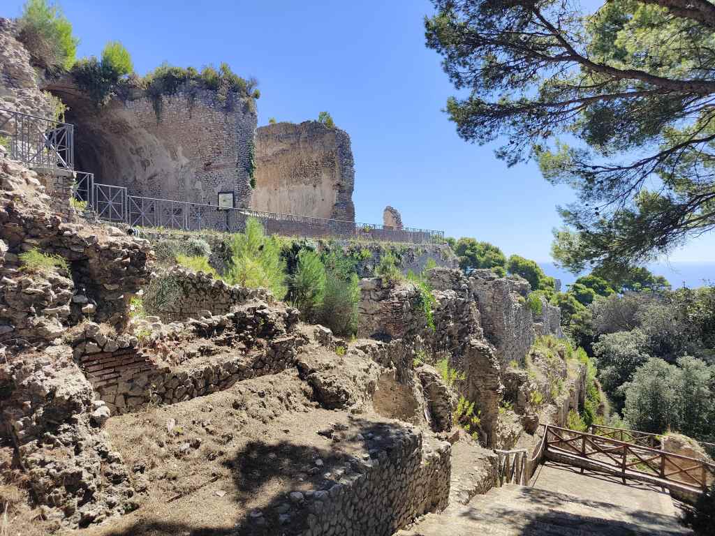
The ruins of Villa Jovis
I bought a ticket form a machine selling timed entry slots. For the slot I picked, the machine told me that there were 3947 tickets remaining – giving an idea of how few visitors Villa Jovis gets, despite its historical importance. It was very hard to imagine the palace that once stood there from the relatively modest ruins that remained, but it was very pleasant wandering around alone and admiring the views, including the sheer cliff from which it is claimed that Tiberius had his enemies thrown. A wonderful smell of pine trees alternated with the stench of feral goats.
Tiberius’ Cliffs, Villa Jovis
After I had seen everything, I explored a park just outside of the villa. It looked surprisingly neglected, and has been settled by yet more goats, but offered some amazing views over the sheer cliffs that make up much of Capri’s shoreline.
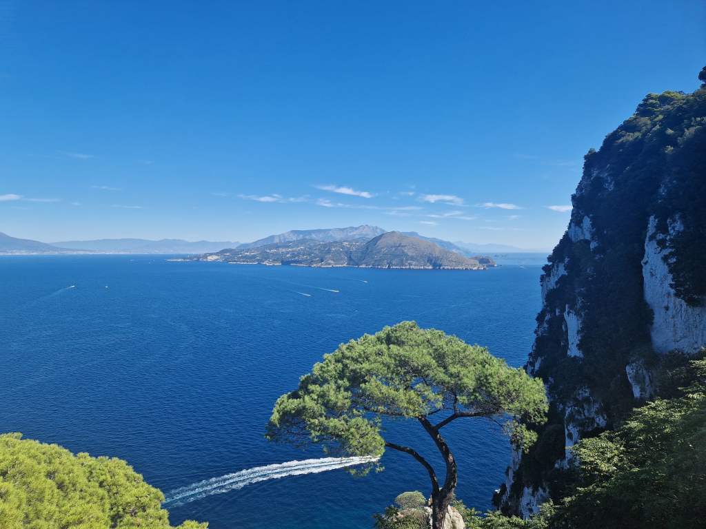
View from the park near Villa Jovis
Once again, I was surprised by how few visitors there were – where were all the people I had seen getting off boats and thronging the port? My answer came soon enough as a I walked back into Capri town and hit the main shopping street, linked with luxury boutiques like Bulgaro, Louis Vitton and Yves St.Laurent, and packed with affluent-looking tourists speaking American, Italian, French and Russian. My route to my next destination, the Gardens of Augustus, was like and even richer multilingual version of fighting my way through the crowds of Positano – excuse me/scusi/pardon/izvinnite! The gardens were similarly busy – they offered some nice views over the coast, but I was baffled by their popularity compared to the much more beautiful things I had seen earlier, which I had had almost to myself.
The view from the Gardens of Augustus
After seeing the fairly modest Gardens of Augustus I still had an hour before my ferry left, and popped into the huge former church of San Giacomo, which now houses several minor museums. The modern art there did not impress me, but it was fun wandering around the sprawling and pleasantly cool complex, discovering even more nice views of the coast. Once again, I had the place to the myself.
The former Church of San Giacomo
When the time finally came to head back to the cable car station to catch my ferry, I found a very long queue stretching out in baking sun into the neighbouring piazza. I glanced at my watch anxiously as the queue slowly advanced into the shade of the cable car building, to reveal an even longer queue inside. Here, the discipline of all these affluent visitors cracked as everyone realised they might miss there ferries, and people pushed and jostled. Being a small teddy sometimes has advantages, and I advanced cautiously at ground level amid a forest of sweaty legs to reach the turnstile at the front. I caught the cable car down, then had to find out which out of the thirty jetties my ferry would leave from, and finally rush to get there and make it onboard just in time.
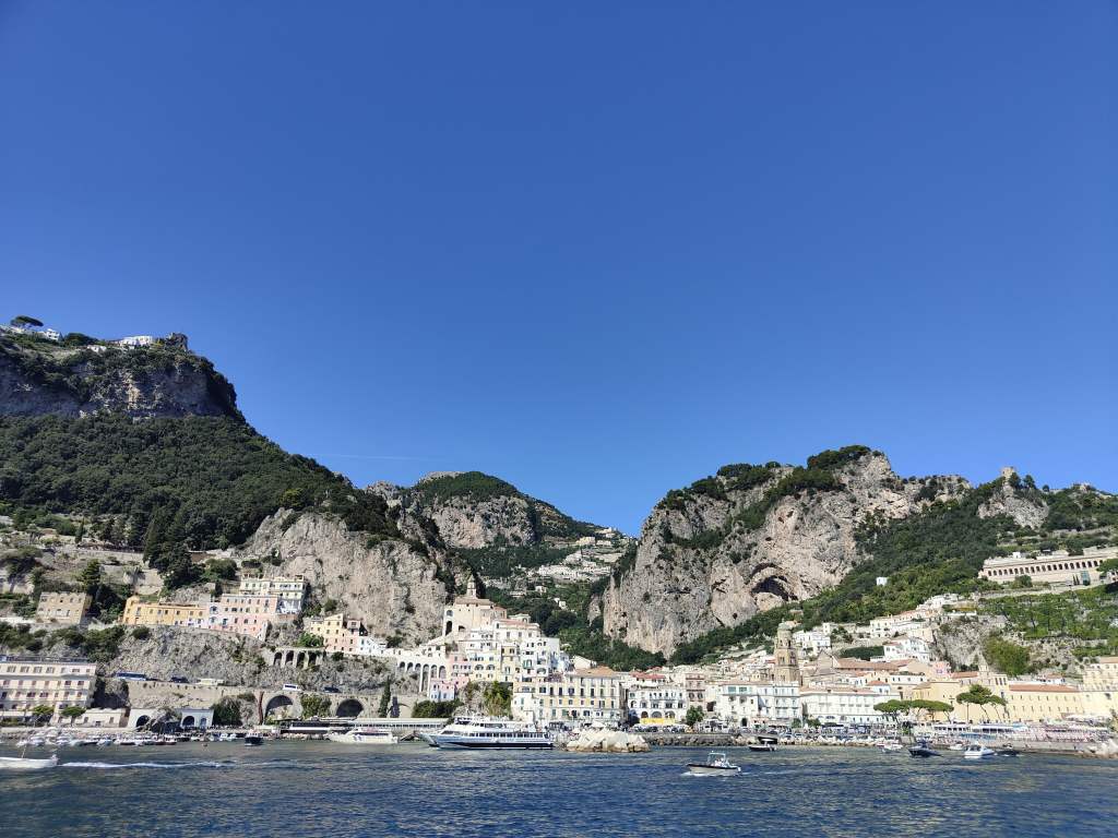
Approaching Amalfi at the end of the day!
Cruising back to Amalfi I could again relax, enjoy the amazing views, and process my thoughts about the day. Capri was a puzzling place – heavenly beautiful and deserted in parts, hellishly crowded and expensive in others. But on balance I had really liked it, and was very glad that so few people had made the effort to walk twenty minutes to see its most interesting sights. Villa Lysis had the most beautiful views of my trip so far, whilst Villa Jovis made me reflect on the transience of human life. The luxurious palace of the most powerful man in the world is a ruin where goats live – something that the world’s current rulers might do well to reflect on.
As well as its spectacular coastline, the Amalfi area is known for its brilliant hiking tracks. A dense network of trails links the coast’s mountain settlements and seaside towns. Today I ventured onto one of the best known hikes – the Path of Gods, which starts at a small village called Bomerano, accessible by bus from Amalfi. I set an alarm to wake up early to catch the 08.15 bus promised by SITA’s oneline timetable and got to the bus stop with a few minutes to spare. Several other tourists were waiting but as 08.15 and then 08.30 came and went, I approached the SITA employee selling bus tickets only to be told that the next bus was at 09.15. Along with the other early rising tourists I trudged off grumpily back into town to kill another 45 minutes, but at least I got another good view of Amalfi’s cathedral without the crowds.
After my false start – back in Amalfi’s Piazza in the early morning
When 09.15 came, so did (this time) the bus. It was a very popular hike, and I was lucky to get a seat and not to have to stand as the driver sped up narrow mountain roads, testing himself, his vehicle and his passengers as he saw how quickly he could make the trip. The views of the coast far below, best glimpsed at the road’s many hairpin bends, were spectacular but fleeting – there was no question of being able to photograph them as the bus driver tested the laws of physics and centrifugal force with his bus. We soon arrived at Bomerano, and although the bus’s route carried on further, almost everyone disembarked. Indeed, the Path of the Gods is not a hike for those seeking solitude, and I set off behind a long straggle of fellow passengers along an easy path, which usually sloped gently downhill. As expected, the views were amazing and more than made up for times I had to negotiate my way through several organised tours of slower walkers, testing my Italian for “excuse me” (Scusi! Scusi!).
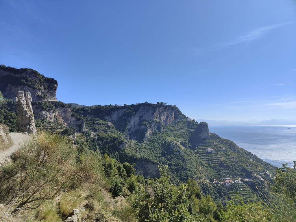
Near the start of the “Path of the Gods”More stunning scenery along the way
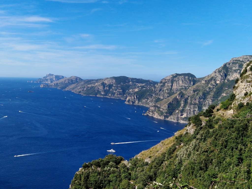
The walk justified its reputation was one of the most beautiful of the Amalfi Coast – even though I felt that each view, although breathtakingly beautiful, was similar to the previous one.
Yet more stunning views on the Path of the Gods, Amalfi
After a couple of hours, which had passed surprisingly quickly, I found myself at the end of the main walk in a village called Nocello. The place was used to receiving tired and thirsty walkers and had a nice kiosk selling coffee and – even better on a hot day – lemon granite.
From Nocello there was supposedly a bus down the mountain to Positano, the nearest village on the coast. But my earlier bus experiences had so disappointed me that I did not even bother to try to find it, and set off on a path leading steeply downhill.
Starting the long descent to Positano
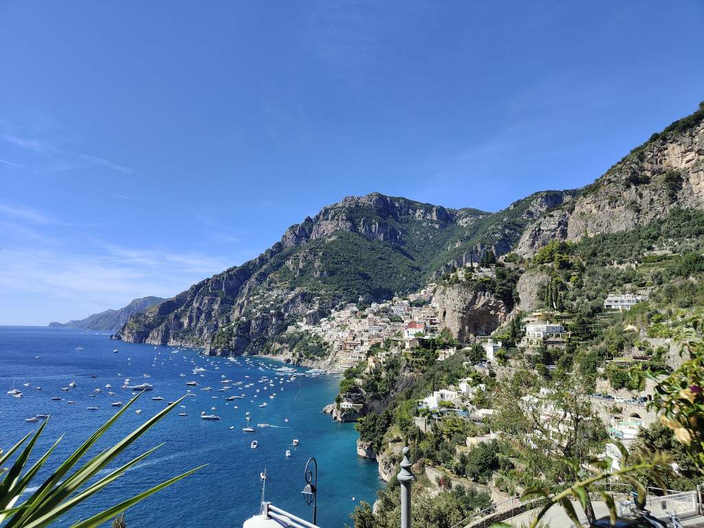
This might have been a mistake – there are 1700 steps on this path, and soon the calves of my little teddy legs were aching. I found this abrupt descent far harder than the steep climb up to Ravello I had made the day before. At the least the walk offered some nice views of Positano and the many boats anchored just offshore, which got bigger and bigger as I descended.
Positano comes into view
Soon I reached the main coastal road and had a decision to make – try to take a bus back to Amalfi or walk into Positano and take a ferry. Finding the bus stop answered this question quickly – there was already a large queue of hopeful passengers waiting for a bus which was supposed to have appeared ten minutes ago. I figured that even if this bus did eventually show up, the chance of me getting a space on it were as small as my little teddy legs, so I continued walking on into Positano. This is one of the Amalfi Coast’s most famous towns, but I disliked the bits I saw – narrow roads lined with shops selling upmarket goods and hopelessly crowded with fellow tourists. It took me another twenty minutes of “Scusi, Scusi!” to fight my way to the port – where my luck changed. There was a boat to Amalfi leaving in fifteen minutes, and I was soon enjoying the more civilised way to get around this region – by sea, enjoying once again the beautiful coast line between Positano and Amalfi, this time from sea level rather than from high on the mountains.
Positano – best viewed from the sea! Interesting rock formations on the coast between Positano and AmalfiBack in Amalfi!
It had been a mixed day. I had underestimated the difficulty of the long descent to Positano, the crowds in this popular town, and the unreliability of Italian buses. But the amazing views from the Path of the Gods and the pleasant ferry ride back to Amalfi more than compensated for these struggles. After all, this beauty is why the Amalfi Coast is so crowded in peak season.
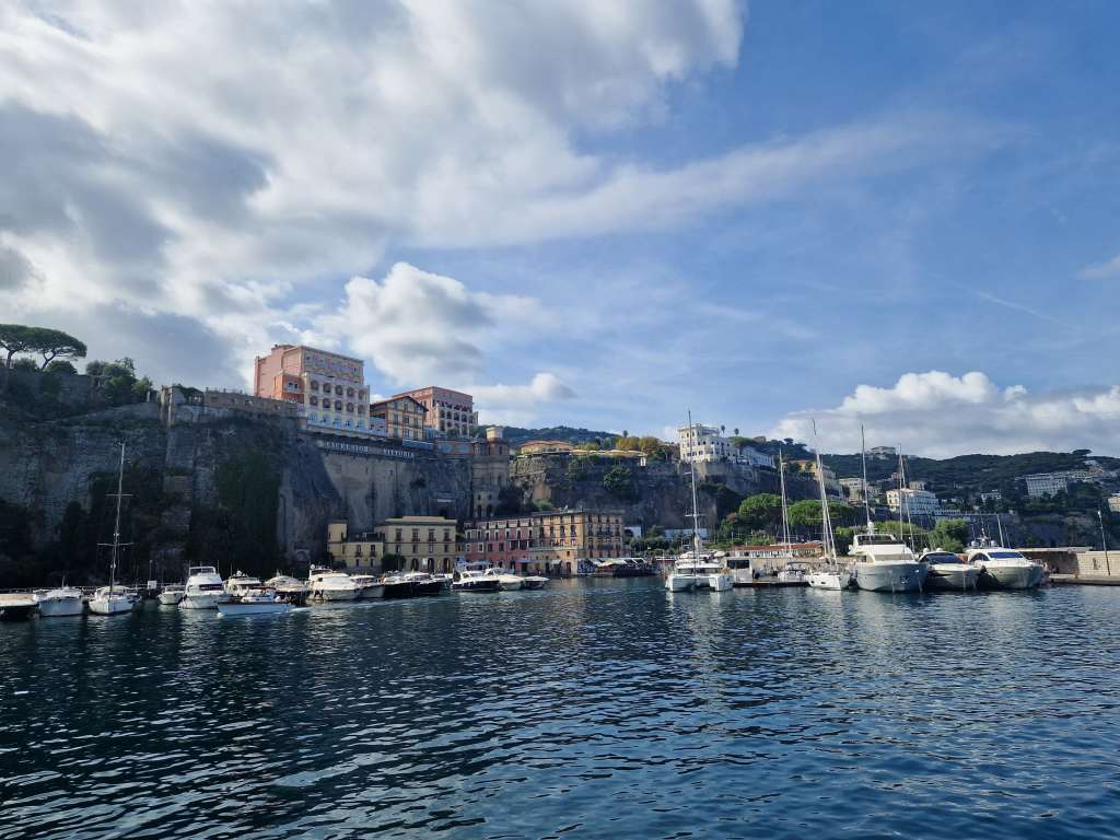
Back on the road again! The next few posts will devoted to my trip around southern Italy – Naples, the Amalfi Coast and Puglia. After a flight to Naples and one night there (more about this interesting city in a future post), I was soon on the morning ferry for the two-hour cruise to Amalfi. There were great views of the Bay of Naples with Mount Vesuvius looming behind, before we reached our first stop, the port of Sorrento. It looked a very smart place, but it was not the destination I had chosen for my stay.
On the way to Amalfi – Sorrento
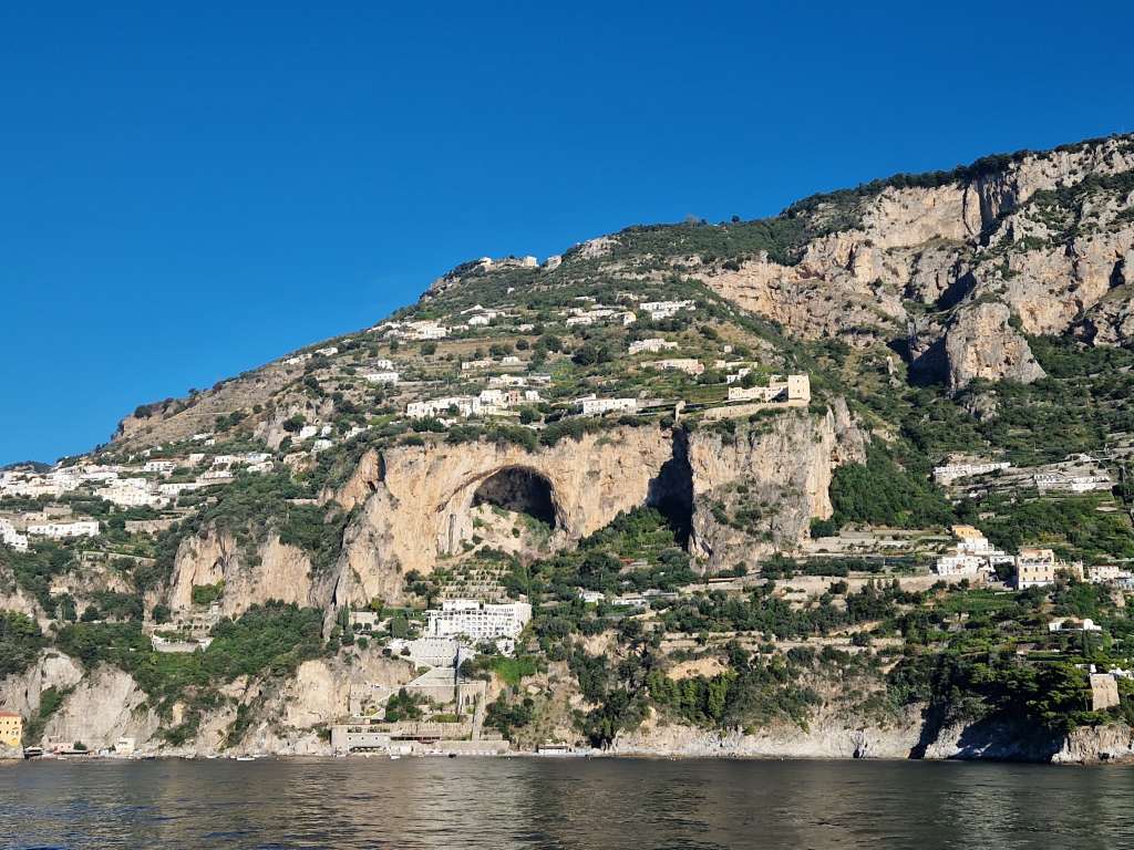
Instead, I stayed on the boat as it rounded a cape and cruised past the island of Capri to the Amalfi Coast proper, with the scenery becoming more and more spectacular.
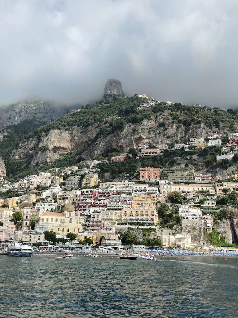
On the way to Amalfi – passing Positano
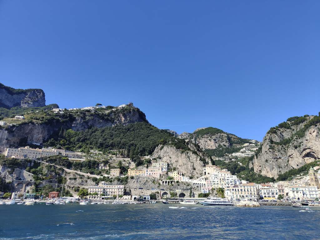
I arrived at Amalfi at around noon to learn the good news that I could check in early to my flat. I fought my way through the crowds in the town’s main road in the heat of the midday sun – even though it was mid- September, the temperature was 30C and my fur was hot and sticky by the time I arrived. I had a quick rest and some coffee before setting off to explore. My first stop was Amalfi’s cathedral, which was pleasantly quiet compared to the bustle of the main street. It was started in the 10th century, with many additions over the following years, and contains a mix of architectural styles. First I visited its peaceful and cool cloister with views of the surrounding mountains……..
The cloister of Amalfi’s Cathedral
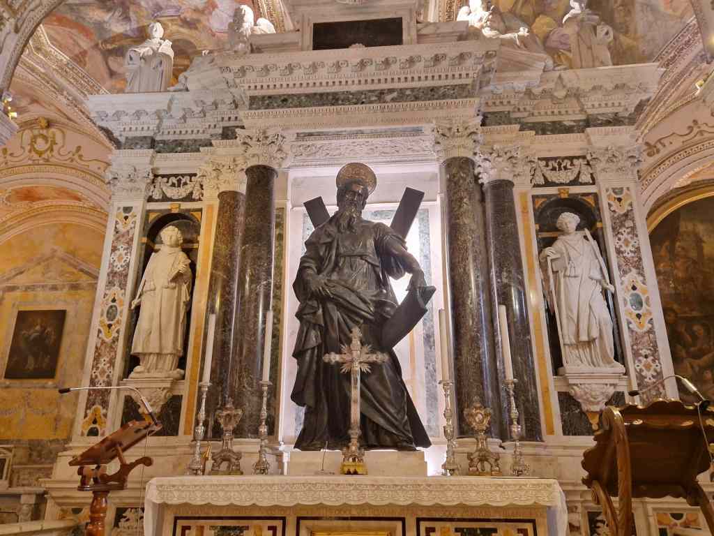
….and then a crypt which houses the remains of St Andrew. These were brought here by participants of the Fourth Crusade, who changed plans and sacked Constantinople instead of trying to conquer the Holy Land.
St Andrew’s tomb, Amalfi Cathedral
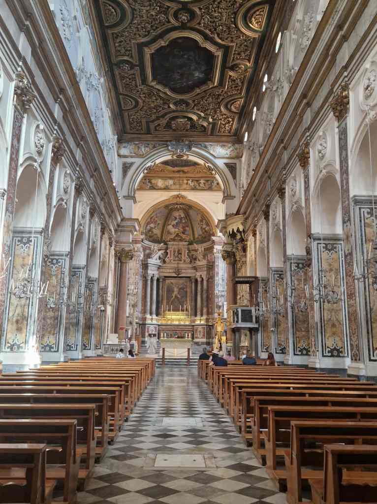
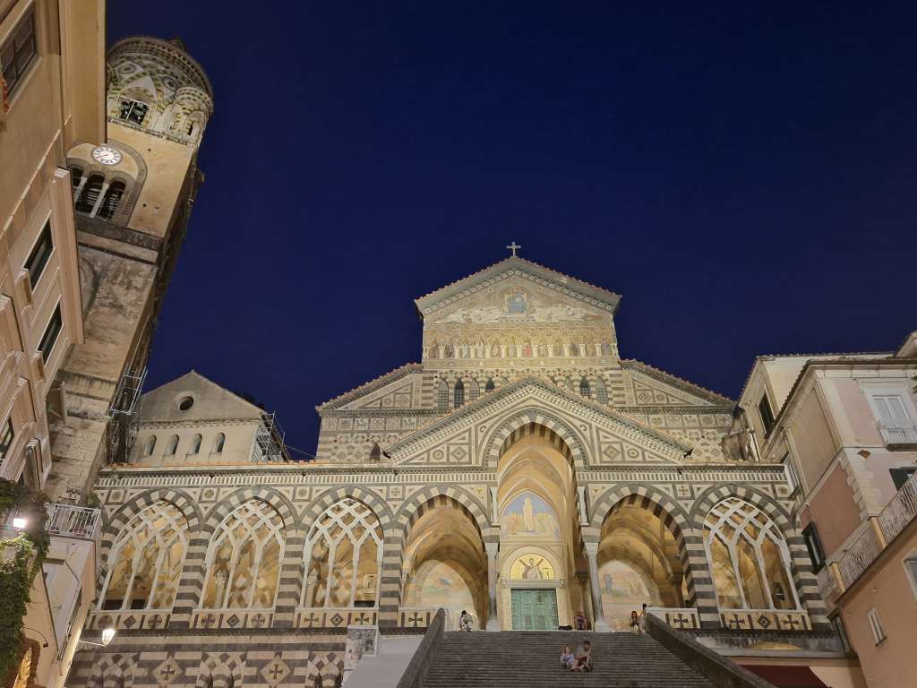
From the crypt, stairs led up to the stunning cathedral itself:
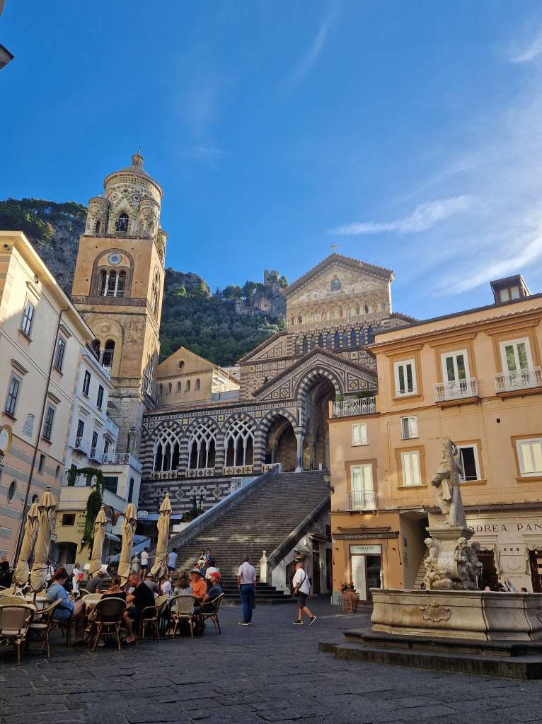
Amalfi Cathedral
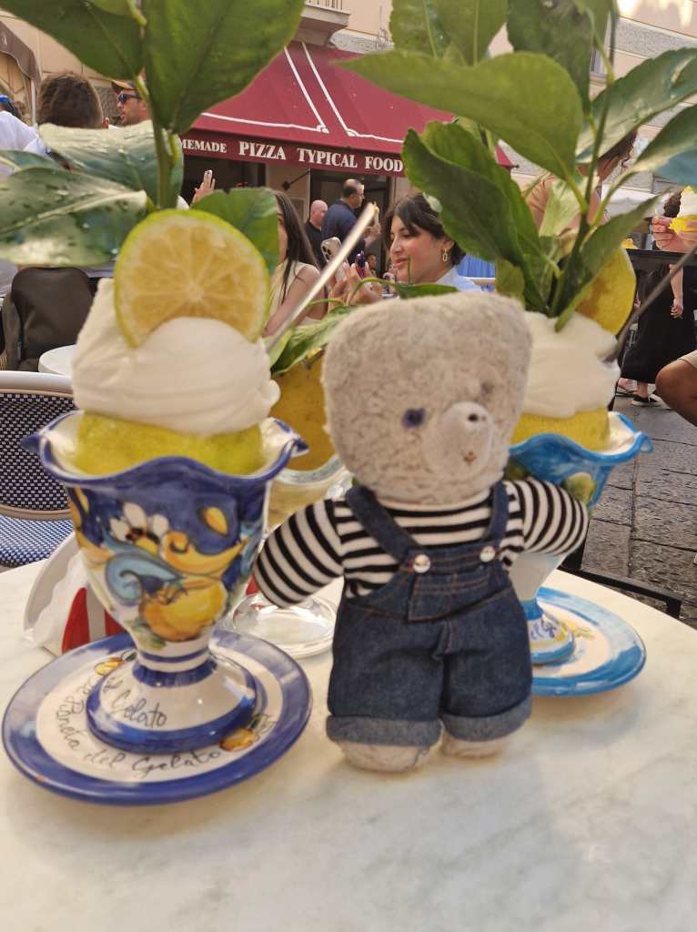
The main square in front of the cathedral was packed with tourists. Many seemed to simply arrive on boats and then sit in cafés, or queue for one of Amalfi’s specialites – lemon sorbet. The region is a big centre for growing lemons and production of Limoncello. I could not resist and sat down to try a huge sorbet, which was delicious but also very expensive – the Amalfi Coast is a justifiably famous destination, and has prices corresponding to its reputation and the deep pockets of the richer tourists that go there.
Lemon sorbet – delicious but expensive
Refreshed and 24€ poorer after two sorbets, I decided to walk to Ravello, a town perched on top of the mountains surrounding Amalfi. The path first passed under the cathedral and then along many narrow winding staircases and alleyways to the nearby town of Altrani, which was pleasantly quiet compared to Amalfi.
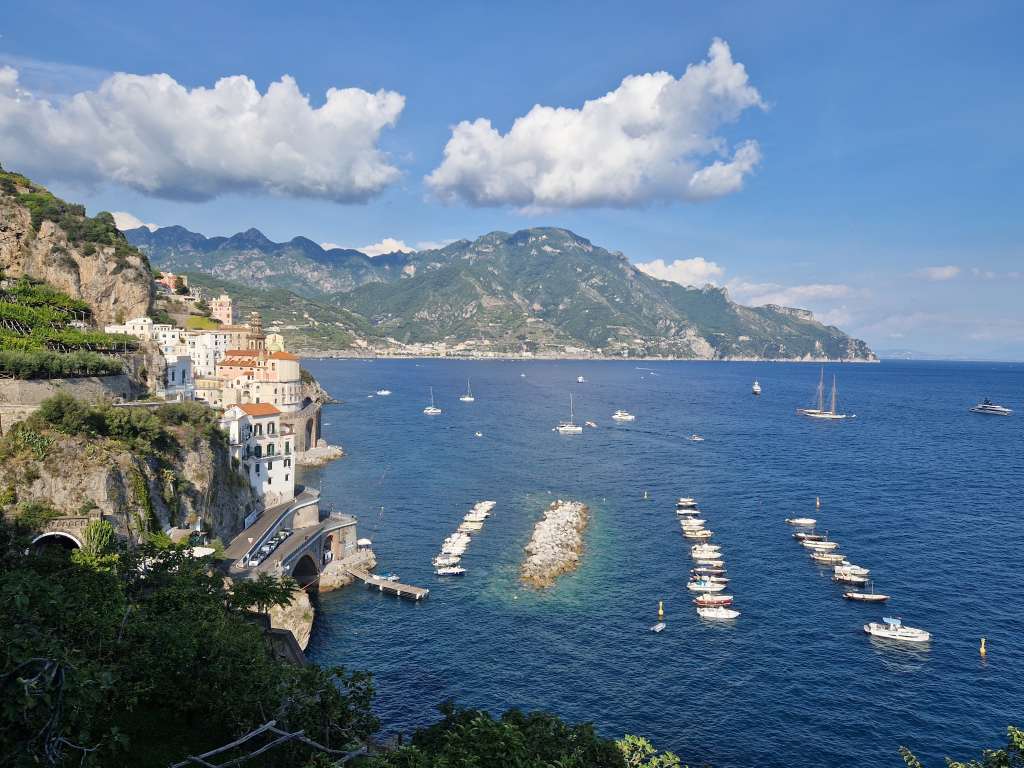
The view towards Altrani from Amalfi
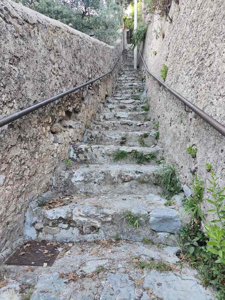
Then my route headed steeply upwards. I sweated heavily in the heat of the late afternoon, but at least most of the path was in shade, protecting me from the fierce sun.
Ooof – hard for little teddy legs!A view on the steep climb to Ravello
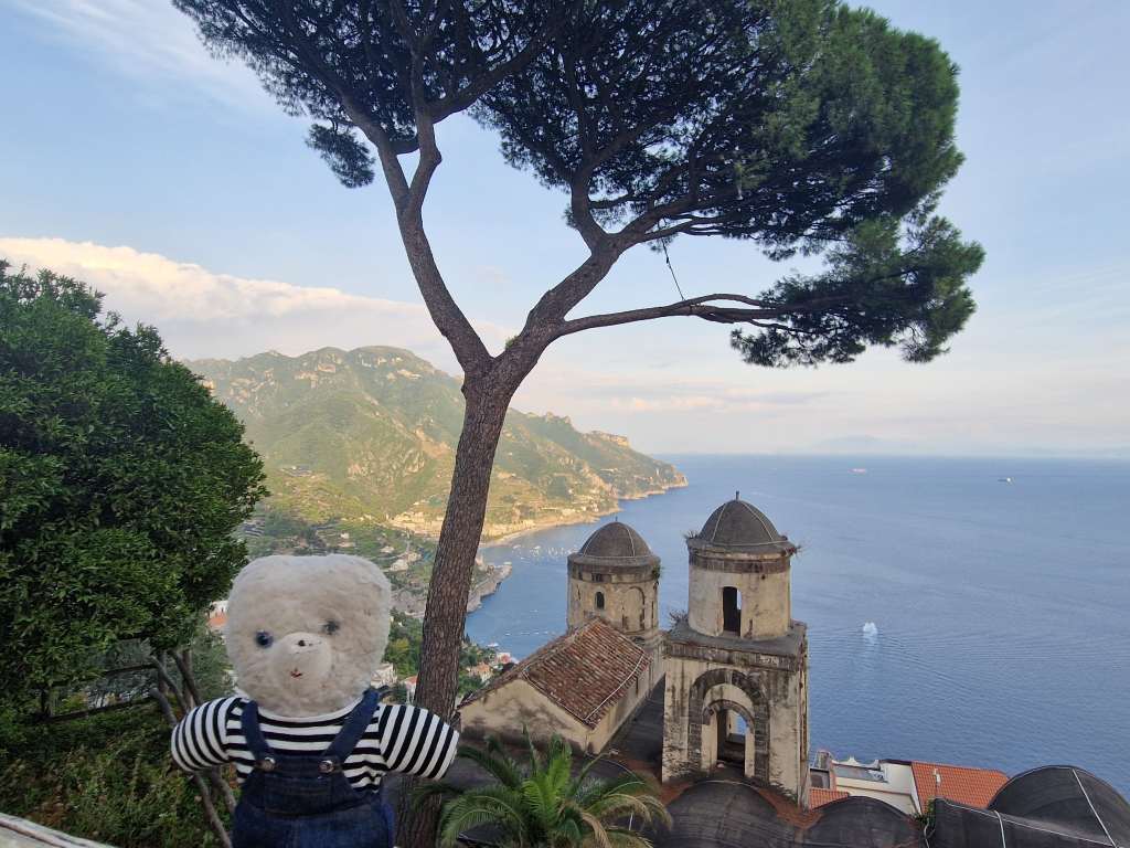
With great relief I finally made it to my destination, which turned out to be a charming place with some amazing views.
Finally – hot and sweaty but Ravello was worth the climb!
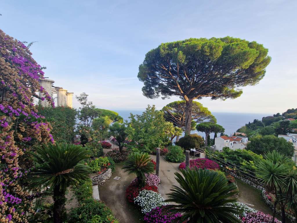
I had a drink in the main square to replenish my forces and noticed an interesting looking building at the edge of the piazza. This was the Villa Rufolo, originally built in the 13th century by the powerful family of the same name, but later extensively remodelled over the years. It has gardens with some of the best views of the Amalfi Coast (or perhaps of anywhere in the world….)
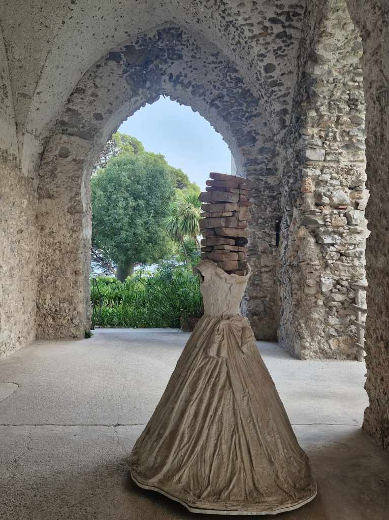
Villa Rufolo’s beautiful gardensWierd artwork in rambling Villa RufoloOne of the best views of the Amalfi Coast
After visiting the villa it was getting late. I didn’t want to walk all the back to Amalfi in the fading light, and checked online to see if there might be a bus. The local bus company is called SITA and their website affirmed that there was one at 19.10, but on arriving at the stop there was a sign showing a different timetable and with a 19.20 departure. It turned out that the bus really left at 18.55, and I was quite lucky to have turned up early to catch it. Our driver negotiated the winding roads with extreme confidence and amazing speed; the other road users seemed to know it was wise to let the SITA bus have right of way.
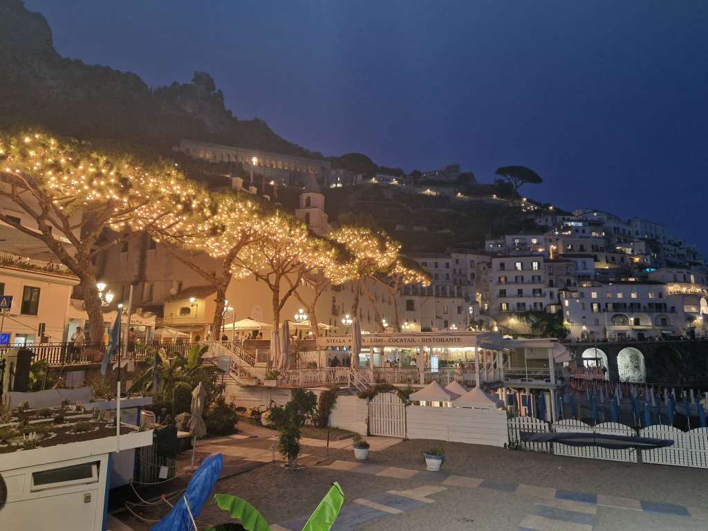
Amalfi seafront at night
I got back to Amalfi in the early evening and rewarded myself with a well-deserved drink in a seafront café after a very full day. Walking back to my flat I could also enjoy a great view of the cathedral, without the daytime crowds. I was looking forward to my next couple of days exploring the Amalfi Coast.
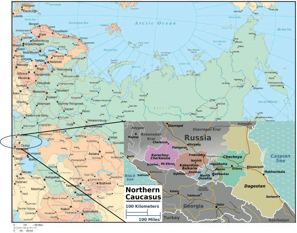
This post continues my exploration of the Russian Caucasus into the supposedly wild and exciting republics of North Ossetia, Ingushetia and Chechnya – a famously restless and troubled part of Russia. Here is a map to remind readers where these places are:
The Russian Caucasus – detailed map by Peter Fitzgerald
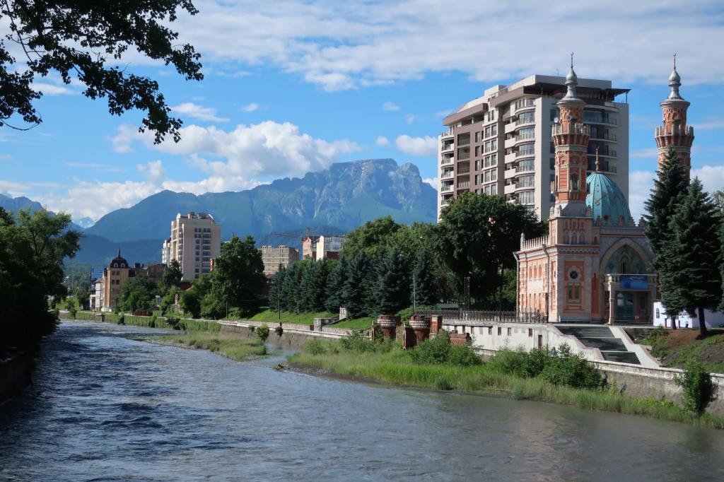
I made this trip using three different guides, one for each republic, and started in Vladikavkaz in North Ossetia. It was founded in 1784 as a Russian fortress controlling entry to a strategically important gorge, and its importance increased further when the Georgian Military Highway was built to link Russia to Georgia (then part of tsarist Russia’s growing empire) in 1799. As Russian influence extended south, Vladikavkaz became an important administrative and industrial centre. Today the city is pretty, relaxed provincial city backed by impressive mountains…..
Vladikavkaz
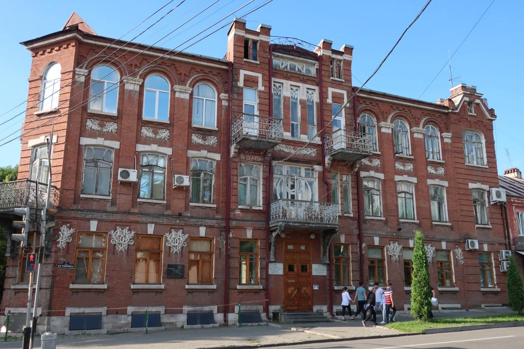
…..and has some grand old buildings.
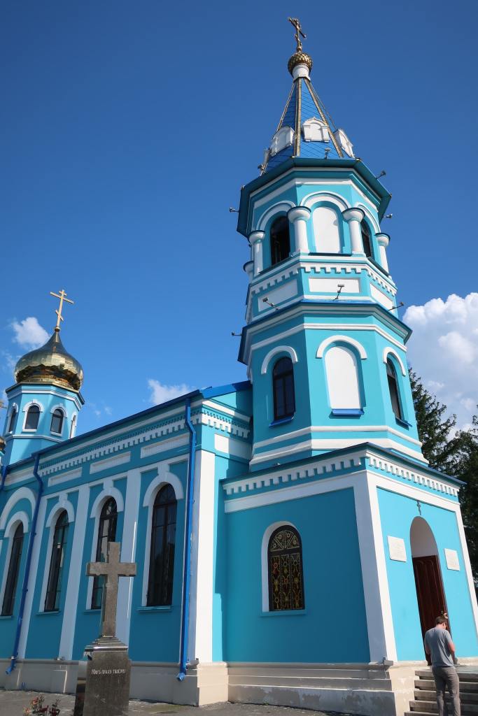
A grand old building in VladikavkazA church in Vladikavkaz. The city is mainly Slavic and Christian
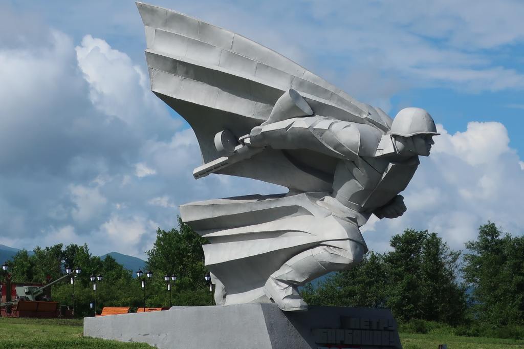
During WWII the German army reached as far south as Ossetia in its quest to seize the Soviet oil-producing centre in Azerbaijan, but they were beaten back by the Red Army at Vladikavkaz after fierce fighting. A short way outside of the town is a large memorial to the heroes of this battle – including one soldier who threw himself across the opening of a German machine gun post to stop the enemy from being able to fire at his colleagues. My guide emphasised the heroic role of the Ossetian people in resisting the Nazis and said that the neighbouring Ingush and Chechens had not fought as bravely and were the source of the all the trouble in the region.
Statue at the Vladikavkaz war memorial
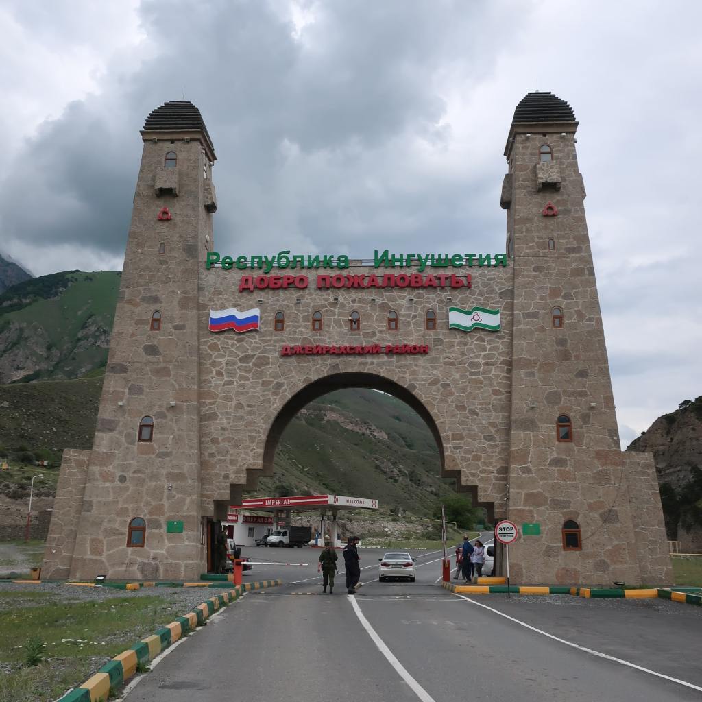
Vladikavkaz was interesting enough but would probably not have justified my trip in its own right, and after a day I was transferred to the border with Ingushetia to continue my trip and meet my next guide. The border post was intimidating, with armed guards, and I needed a special permit to get through.
The North Ossetia – Ingushetia border
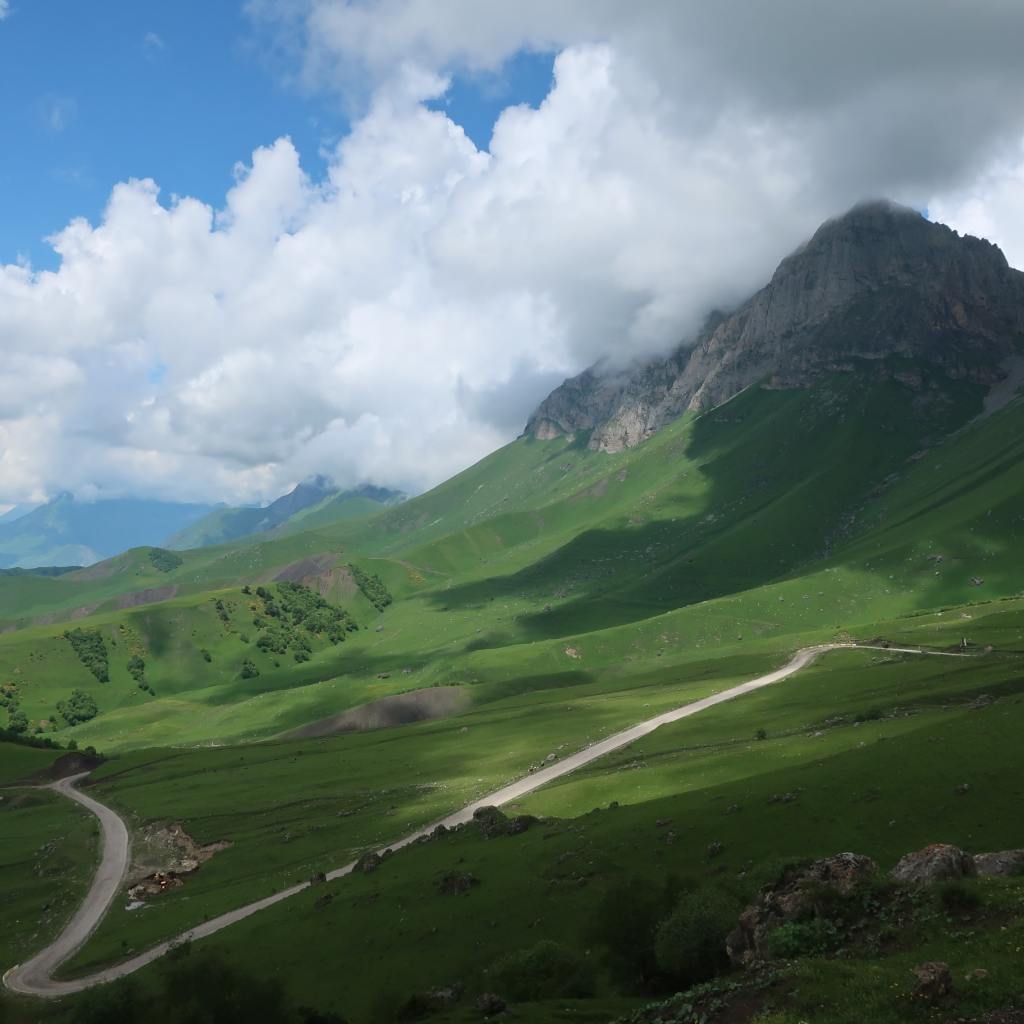
Here, the vibe suddenly became very different. The landscape changed from pleasant, forested valleys to wild, empty mountains; instead of churches there were mosques; and the few local people looked at us suspiciously.
Ingushetia scenery
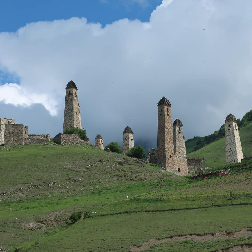
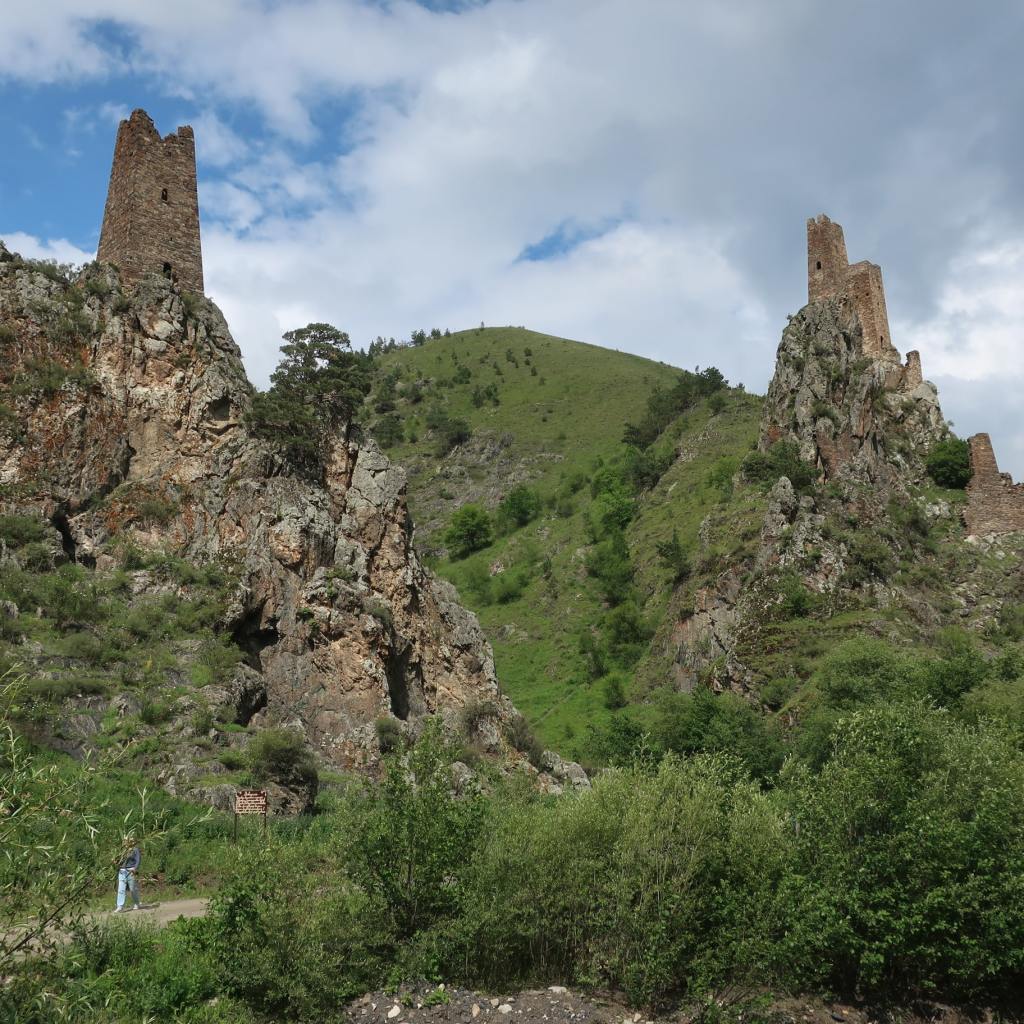
The countryside was sprinkled with small empty villages, each having several defensive towers.
A typical abandoned Ingush village
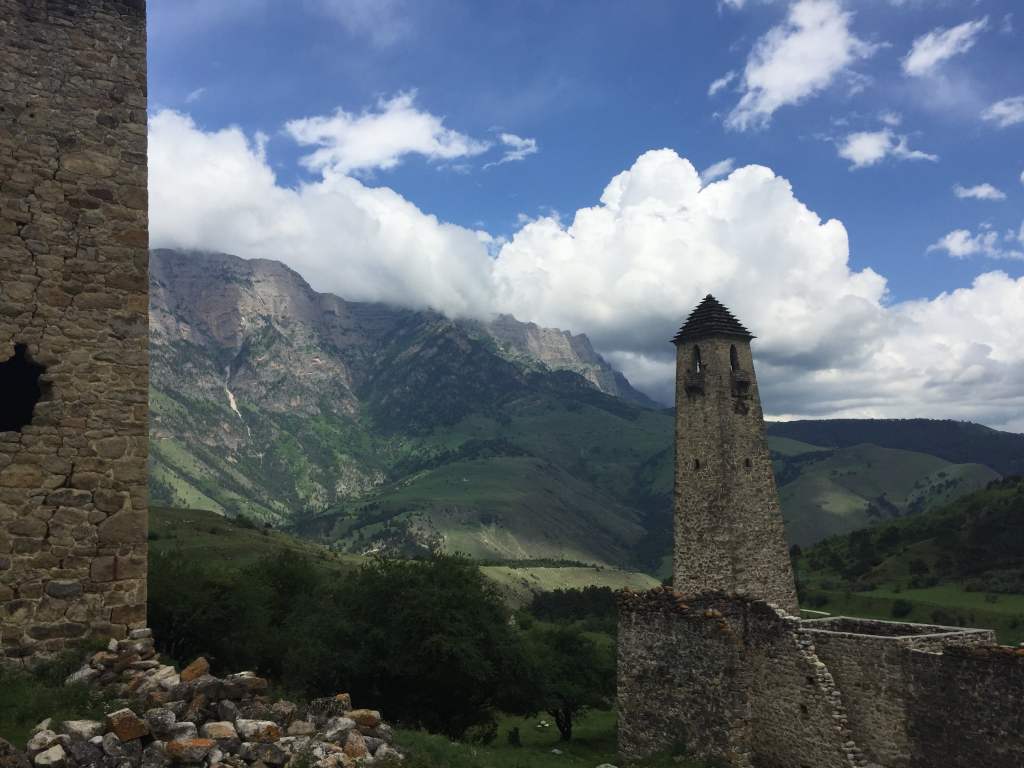
Our guide explained how the villagers would take refuge in these structures when threatened by bandits – something which must have happened very often. He also said that the Ingush had indeed fought heroically in the Red Army but their role in WWII was not much mentioned by the authorities because they were Muslim. Instead, their reward was to be forcibly shipped off on Stalin’s orders to even more remote parts of the Soviet empire to create new settlements in places like Siberia or Kazakhstan – an often-unsuccessful experiment which led to them freezing or starving to death. Our guide clearly and understandably deeply disliked Stalin and claimed that he was in fact Ossetian, and not Georgian as is commonly believed. According to him, all the region’s problems were caused by the Ossetian and the Chechens.
Another Ingush village
Although somewhat intimidating, Ingushetia was a very beautiful and interesting place to visit, and I left regretting that I could not stay longer. I was driven to the border with Cheyna – a surprisingly relaxed crossing compared to the one between Ingushetia and Ossetia – to be met by my third guide, a Chechen.
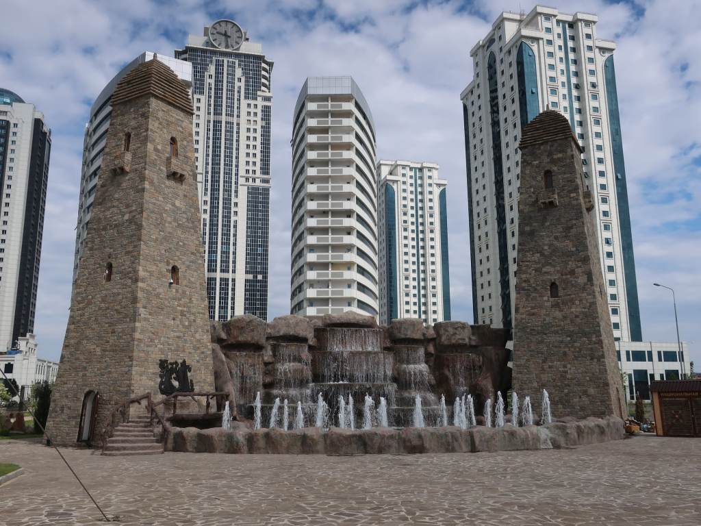
Grozny, capital of Chechnya, with skyscrapers and a recreation of old defensive towers
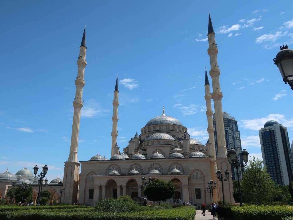
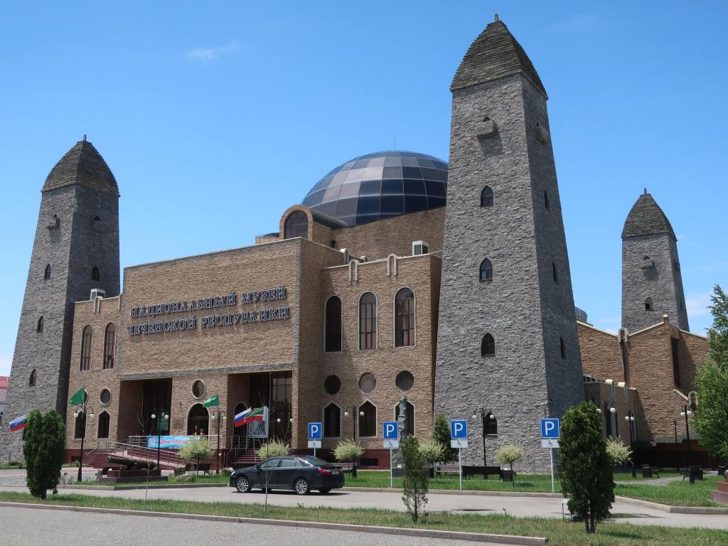
Despite its fearsome reputation, based on the violence of this republic’s bloody 10-year struggle for independence and the alleged role of Chechen people in criminal activity in Russia, the capital city Grozny was a rather dull place. Almost completely rebuilt after the city was flattened in the war from 1999 to 2009, it boasted new skyscrapers, mosques and government buildings – as well as a history museum largely devoted to the cult of the current leader, Ramzan Kadyrov and his father (president before him until he was assassinated). Kadyrov rules the republic with an iron fist and is fiercely loyal to Russian president Putin and his pictures are everywhere. My guide avoided talking about the history of Chechnya or its current leaders but did say that in his view all of the region’s troubles were caused by the Ossetians and Ingush, and not the Chechens.
The main mosque in GroznyThe Museum of the Chechen Republic
After a day wandering around looking at modern buildings, visiting the impressive main mosque and the bizarre history museum, I had seen enough and headed to the airport for my flight back to Moscow. It has been an interesting week seeing a part of Russia that very few tourists visit – not even Russian ones – and learning about the region’s troubled past. For me, Ingushetia was the most impressive of the three republics, despite a vague feeling of being unwelcome there, and I would like to go back one day to go walking in their wild mountains and visit more of their eerie, empty villages. In the region I also still have not visited the republic of Dagestan, which contains the city of Derbent (Russia’s most southerly city and probably its oldest) and its fort, dating from the times of the Persian Empire (6th century BC).
This post is about an often-troubled part of the Russia – the Caucasus, located at the southern end of European Russia. North of the border are the mountainous Russian republics of Chechnya, Ingushetia, North Ossetia and Dagestan, whilst south of the border lie the former Soviet republics of Georgia and Azerbaijan. In some parts of this region the peoples are very different to the Slavs that make up most of population of the rest of Russia, and many are Muslim, giving the region a completely different feel. The area has often been a hotbed of discontent against Russian rule, typified by the brutal civil war in Chechnya, which lasted from 1999 to 2009.
The Russian Caucasus – detailed map by Peter Fitzgerald
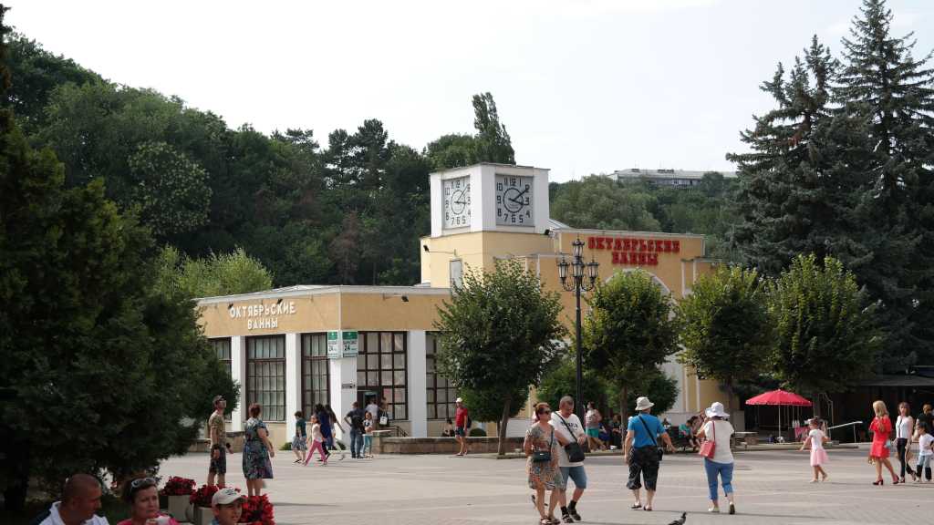
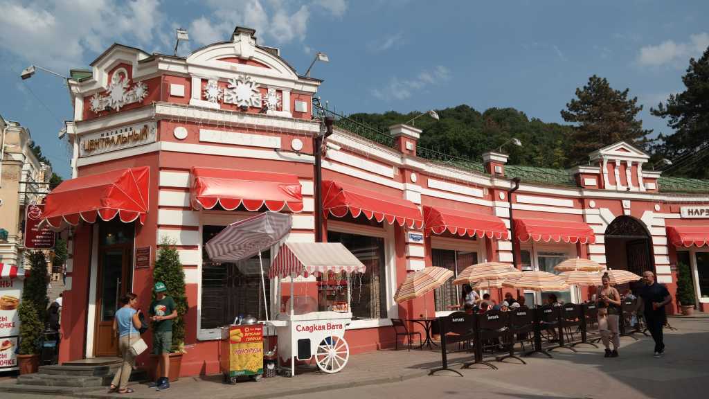
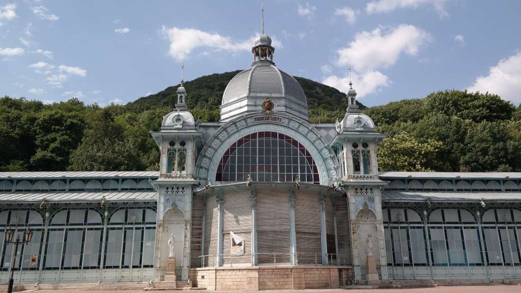
However, my first trip to the Russian Caucasus was to a rather safer area a little further north, in Stavrapol Kray, a popular holiday destination for Russians since tsarist times. People came here to enjoy the pleasant climate, mountains and many hot springs providing mineral water with claimed healing properties. My main base was the pleasant city of Kislovodsk -literally meaning “acid waters” – nestled at the foot of tall and steep mountains and with the hot springs and spa complex obligatory for any self-respecting city in the region.
The spa baths in KislovodskA summer holiday vibe in Kislovodsk
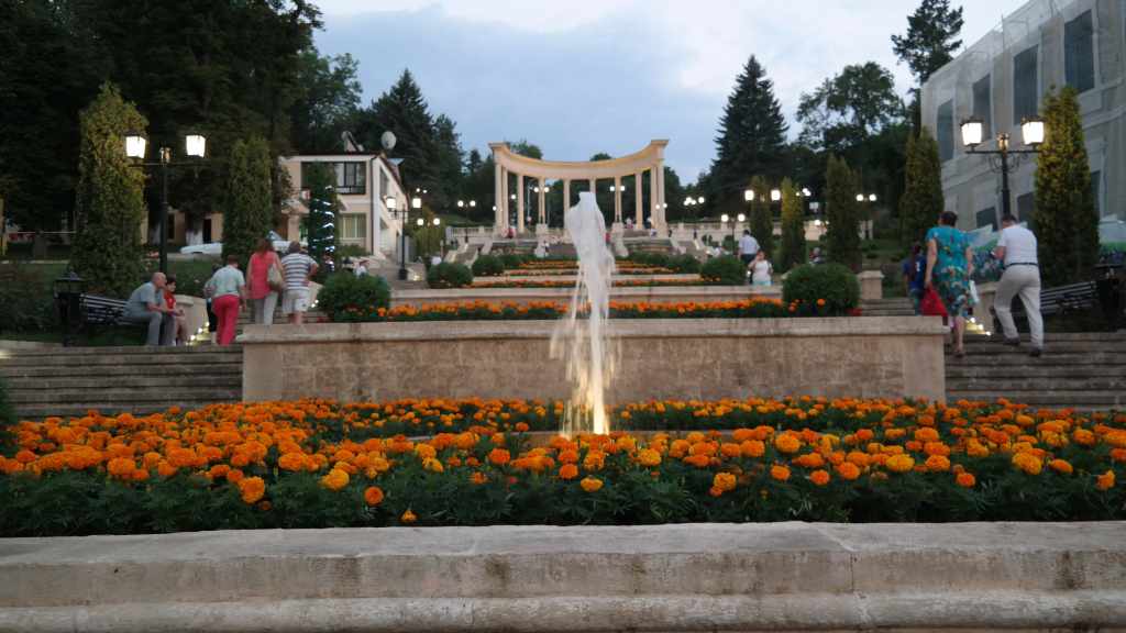
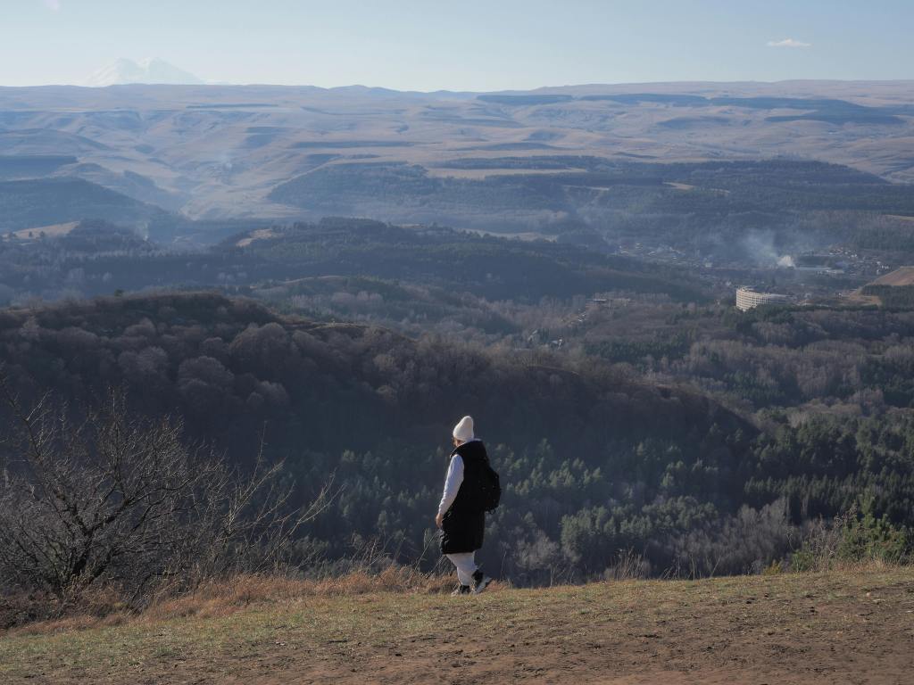
Kislovodsk has a huge park which stretched all the way from the town itself, through various ornamental gardens and then through wild forest to a hilltop which offers views back over the city – and in the far distance, Mount Elbrus, Europe’s highest mountain.
Ornamental fountains in Kislovodsk’s huge parkLooking back towards Kislovodsk from the hill at the end of the park with Elbrus in the distance top left
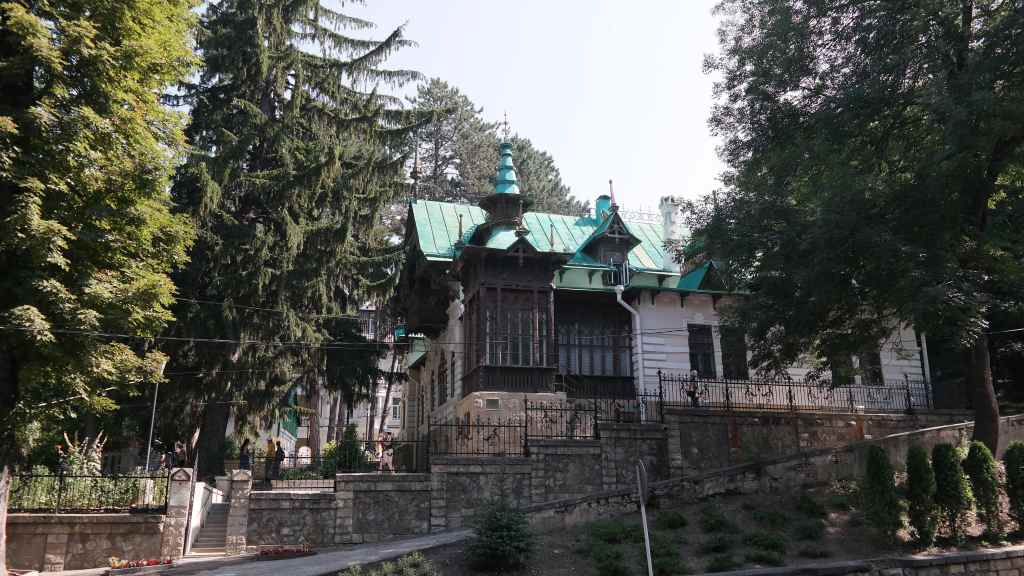
Kislovodsk was THE place to go on holiday in tsarist times and had many famous visitors. One prominent fan was the famous singer Shalyapin, who rented a beautiful house here which you can still visit to this day. One summer the composer Rachmaninov visited him and they offered a free concert to the city’s inhabitants, throwing open the doors of the house’s concert room.
Shalyapin’s house in Kislovodsk
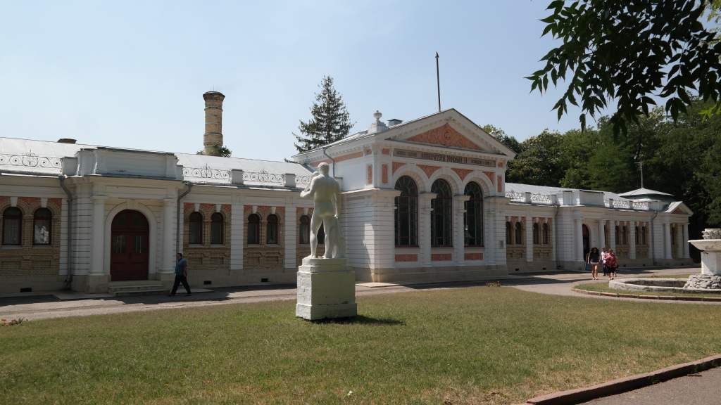
Near Kislovodsk there are many other spa cities, such as Piyatigorsk, Yessentuki and Zheleznovodsk. Some have retained the opulence of the tsarist days, with large spa complexes like this –
A modern spa complex (Yessentuki I think)
…whilst other once-opulent buildings have fallen into abandon.
…and a derelict one (I think in Zheleznovodsk)
My trip to region also included an excursion to Dombay, Russia’s first ski resort, and located close to the Georgian border. The trip had some nice views of Mount Elbrus along the way.
Mount Elbrus seen on the way to Dombay
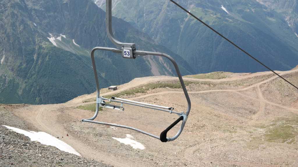
As a ski destination, Dombay has fallen far behind the bigger resorts near Sochi, and some of its chair lifts looked perilous……
Hmmm……
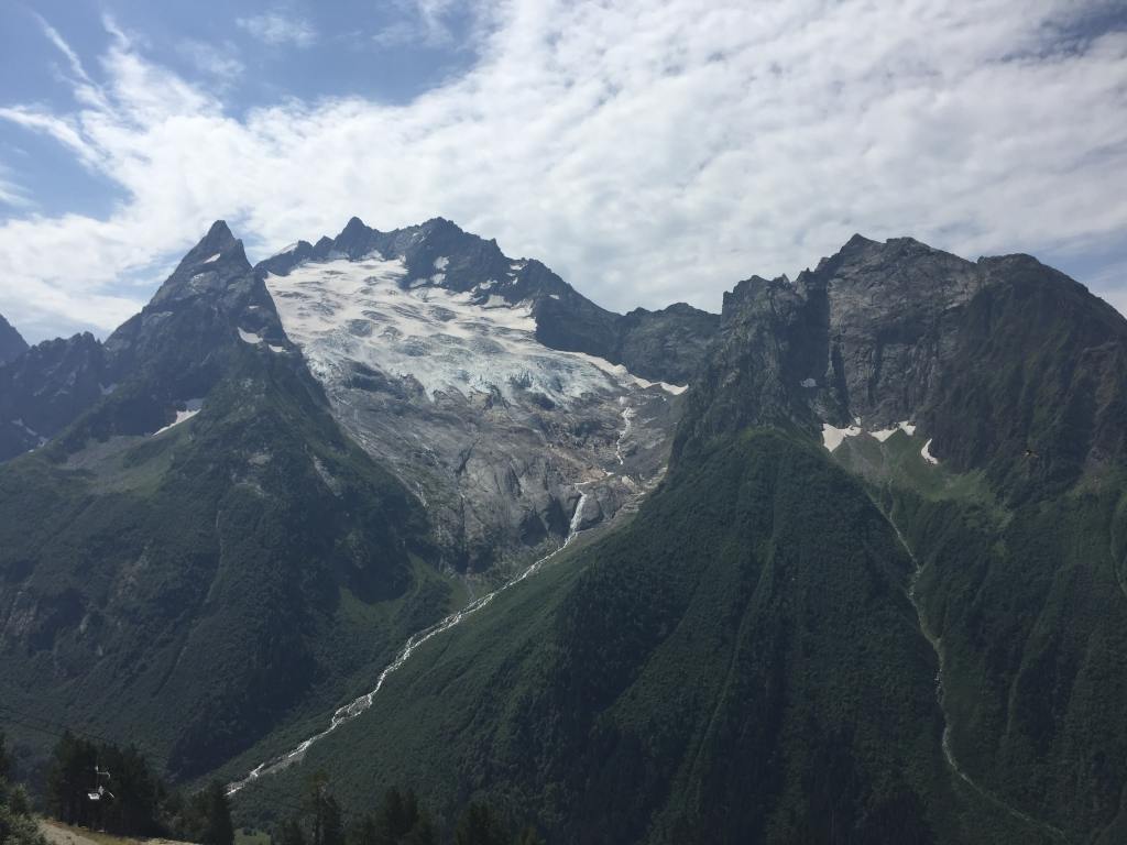
….but the town was surrounded by pretty mountains and made a nice day-long excursion.
Mountain scenery at Dombay
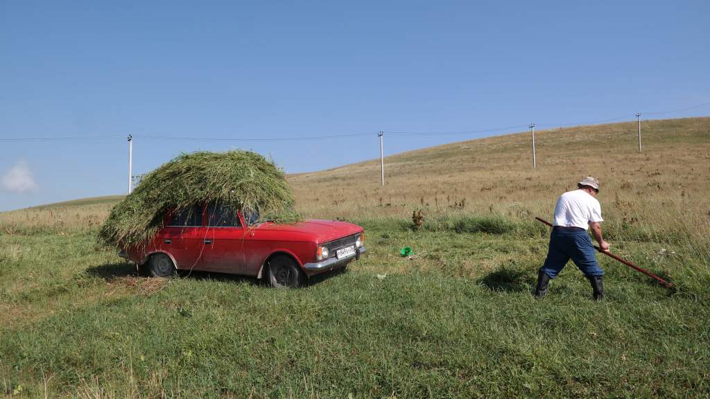
My final experience in this “Russian” part of the Caucus was a trip out into the countryside into a rural area where few other tourists go.
Rural scene in the deep Caucasus countryside
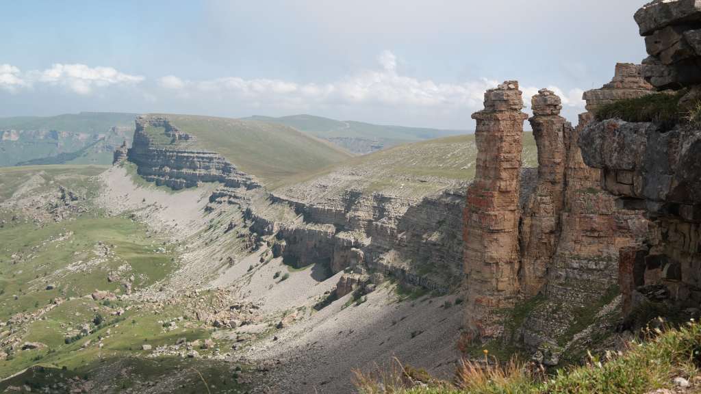
Our guide took us to a wild plateau, edged with weird rock formations and dominated by Mount Elbrus in the distance.
Wierd rock formations on a plateau near Mount Elbrus
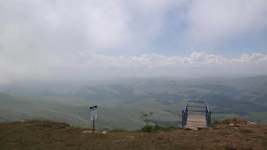
It was almost completely empty except for a shepherd on horseback and his large flock….. and a tiny café set in the most unlikely location on the edge of a cliff. Next to the café was a viewing platform with a sheer drop of several hundred feet underneath it, but having seen the condition of the some of the Russian ski lift equipment in Dombay, I did not dare to venture onto to it.
A step into the unknown
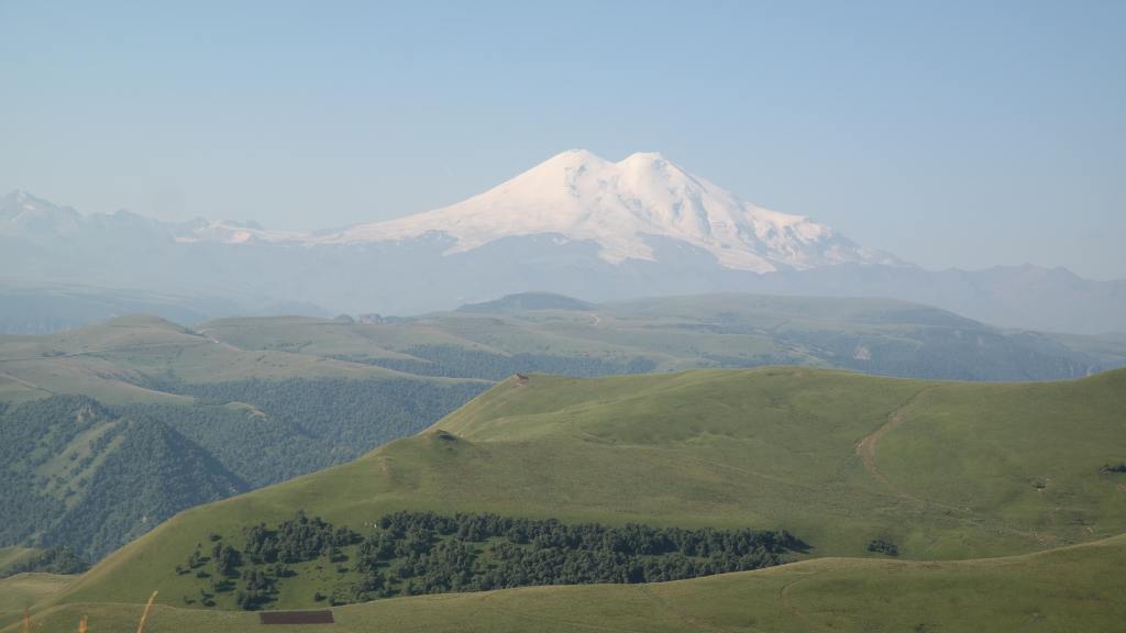
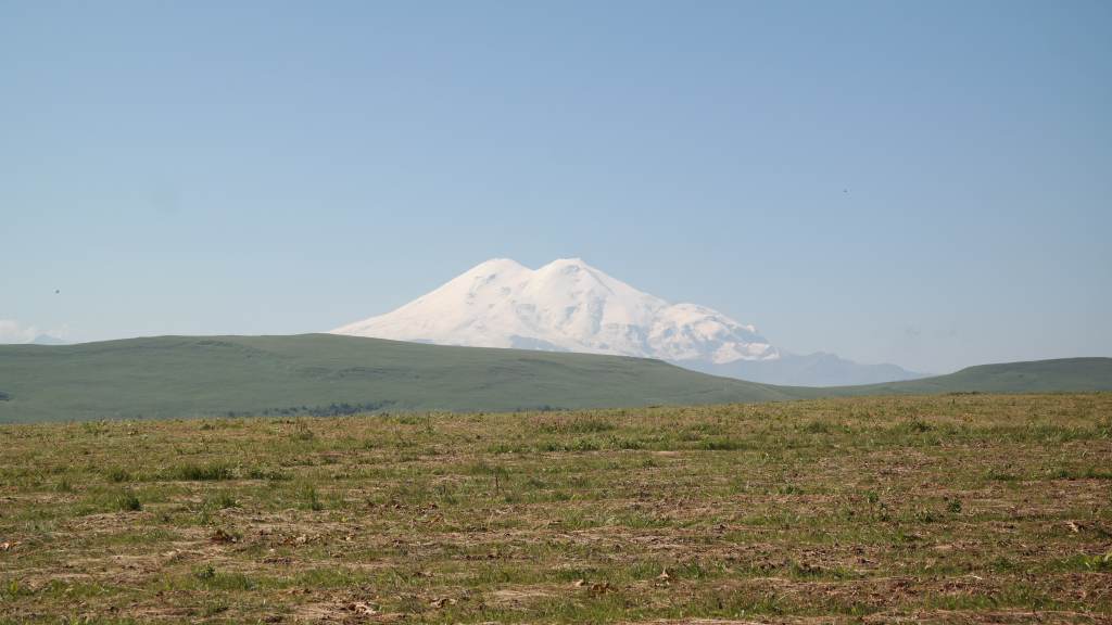
In any case the view of Elbrus was just as good from the safety of solid ground.
Mount Elbrus
That’s it for this post about the area around Kislovodsk in the Russian Caucasus. My next post will cover the wild Russian republics of North Ossetia, Ingushetia and Chechnya. Stay tuned!
My previous post was about the dark and wild Moscow I experienced over 2008-9; this one is devoted to the increasingly beautiful city I saw the second time I lived there, from 2013-2019. Even on arriving at Sheremetyevo airport in 2013 I saw many changes – the immigration process had been automated, and the long queues at passport control had disappeared, and a new motorway into the city centre avoided the notorious traffic jams I had suffered before on the old Leningradskoe Shosse. What I saw on arrival was just one part of a huge makeover the city was undergoing. The new mayor had embarked on a binge of construction of new roads and new metro lines, whilst discouraging people from driving into town by limiting parking spaces. The result was that traffic congestion was much improved, as more people took public transport to work – which gives me the chance to talk about one of Moscow’s most famous sights, the Moscow metro.
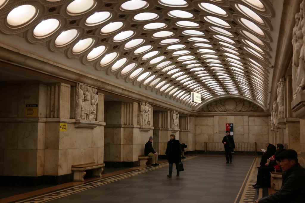
Elektrozavodskaya station, one of my favourites
The metro is famous for its beautiful stations, of which around fifteen stand out. They showcase the triumphant, imposing and bulky Soviet style, with high ceilings, ornate columns, large chandeliers and pictures or mouldings of Soviet heroes like soldiers, workers or farmers. They were intended to be “underground palaces of the people”, and it was said that each was made to look different, so that illiterate peasants arriving in Moscow could know where they were.
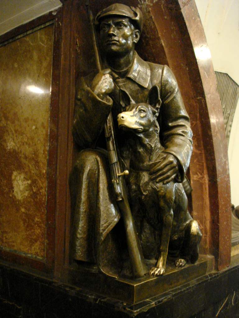
The partisan soldier and dog, Revolution Square station
My favourite was Revolution Square, where the Soviet heroes were cast as bronze statues; there is a famous soldier with a dog, whose snout was a bright shiny gold from being touched by millions of passers-by, who believed that rubbing the nose brought luck. The first parts of the Metro were completed under Stalin, including the circular brown line which has some of the most impressive stations. Legend has it that whilst Stalin was discussing plans to develop the system with his subordinates, he put his coffee cup down on a network map, leaving a brown coffee-stain ring – which became a new line.
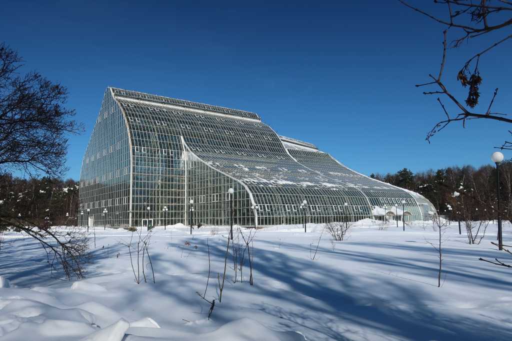
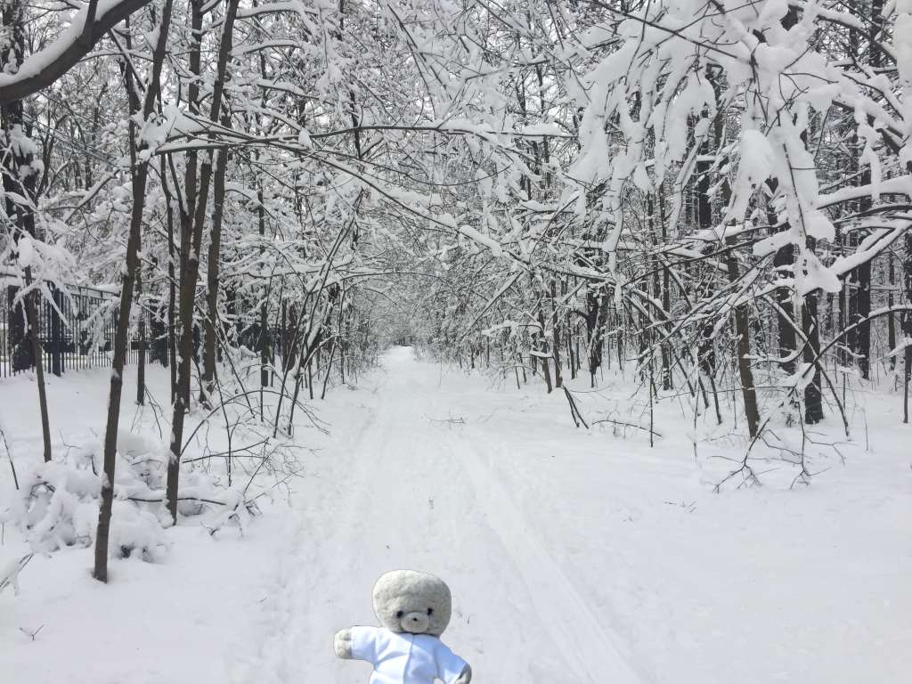
The reduced traffic in Moscow led to improved air quality, and an end to the smog that used to hang over the city most of the winter. On a sunny day, this was replaced by bright blue sky and at weekends I would enjoy going cross country skiing in locations like the huge botanical gardens.
Futuristic glass house in Moscow’s amazing botanical gardensGetting lost on a ski track in a Moscow park
The mayor’s public works binge also included digging up most of central Moscow to lay smart new granite pavements. For two years this effort turned the city centre into a big building site, and a vicious (but false) rumour circulated that mayor’s wife owned a business making paving stones.
The road near my flat in 2017
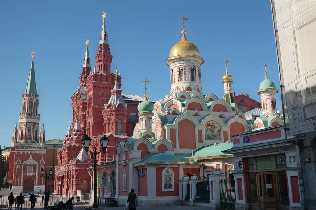
The work was finally finished in 2018, just before Russia hosted the football world cup. Even those that had suffered from the years of roadworks had to admit that the city looked much smarter as a result. All of this spending on public projects left a city that was bright, beautiful and comfortable – a complete contrast to the dark, intimidating but slightly more fun version of Moscow that I had experienced over 2008-9.
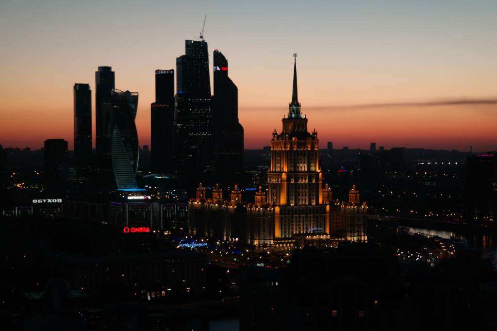
Moscow after the roadworks – near Red Square in 2018View of the Ukraine Hotel and Moscow City business district
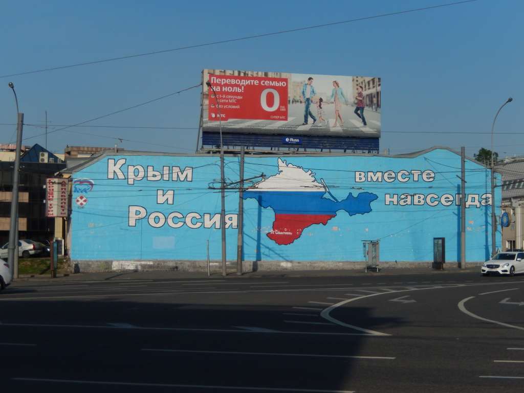
However, this transformation of Moscow was accompanied by increasingly worrying developments in Russia’s social and political scene, as the country changed from a shaky democracy to absolution rule by Putin. 2014 saw Russia’s annexation of Crimea, a very popular action in Russia generally.
Street Art in 2014
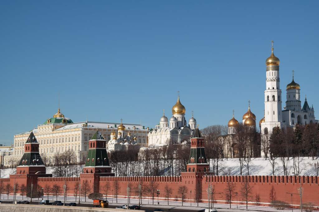
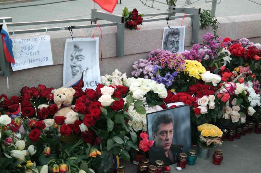
…and 2015 saw the assassination of the opposition leader Boris Nemtsov on the bridge leading to the Kremlin, in the very centre of Moscow. For many years after, supporters laid flowers on the spot where he was killed.
Memorial to Boris Nemtsov
It would be sad to end this post on such a downbeat note, so I will finish by describing yet another of the mayor’s project’s – the new Zaryadye Park, inaugurated in 2017. This was built on the site of the abandoned building site and derelict hotel described in my previous post.
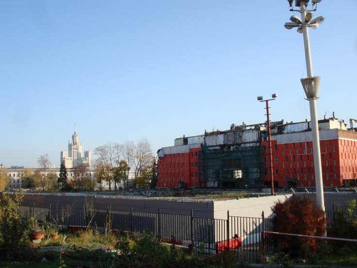
The Hotel Rossiya ruins in 2008….
They were replaced by gardens, an artificial hill with views over the Kremlin, yet another concert venue, and a restaurant complex. It was a brilliant project, and shows what Russia is capable of when money is put to good use instead of disappearing into well-connected people’s pockets.
…and views from Zaryadye Park’s artificial hill in 2018
And the Stalin building you can see lurking behind the decaying hotel in my 2008 photo? That is still residential accommodation, but some of the units were now available for hire as really cool Airbnb stays. I booked one for my last trip to Moscow in 2021, with an incredible view of the city from my window.
View from my Airbnb in the Stalin Building, 2021
It was a wonderful way to say farewell to a city that I had seen transformed in just a few years. I left with a heavy heart, and am not sure when I will be back, but at least I have these photos, many happy memories, and many Moscow friends. My next post continues my journey around Russia, this time visiting the Caucasus near the border with Georgia.
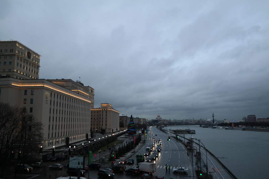
In the next couple of posts I will cover Russia’s capital city, Moscow. I lived there twice, from 2008-9 and from 2013-2019. The two experiences were completely different, and in this post I will describe the Moscow of the earlier years. I arrived in December 2007, just in time for the Russian winter, and my overwhelming memory of this time was of dark, grey skies, intimidating buildings and insane traffic jams.
Moscow in Winter – 2008
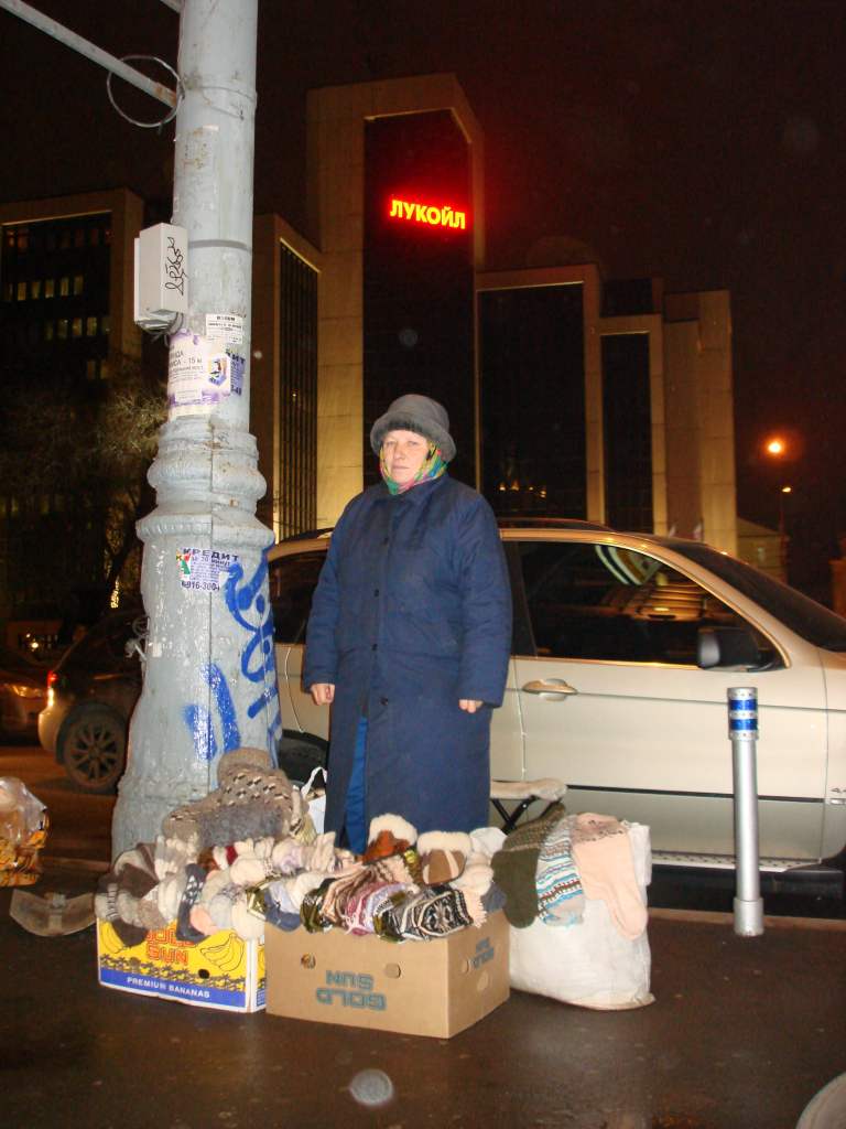
The streets were cold and unfriendly. There were a lot of stray dogs roaming around, a few beggars and homeless people, and old “babushkas” trying to make ends meet by selling items they had knitted.
Babushka selling knitwear
My own flat was in a well-known building, the Dom Rossiya, built just before the revolution to provide flats for Moscow’s emerging middle class. After the revolution it was converted to communal flats for workers, with each large apartment converted into several small ones, accessed from a long corridor leading to a communal kitchen. With the return to capitalism, many of these “communalkas” had been converted back into large flats, offices, or artists studios. Dom Rossiya’s many entrances and staircases were a hive of activity and each was slightly different. Mine was particularly run-down, and often smelt of urine, since homeless people (“Bomsh” in Russian slang) would come in and sleep there at night. But once I crossed the threshold of my flat, I entered a completely different world………..a 300m2 apartment, of which half had been designed as a venue for concerts, with rows of seats on two levels in a semi-circle around a grand piano.
Inside my flat, Moscow
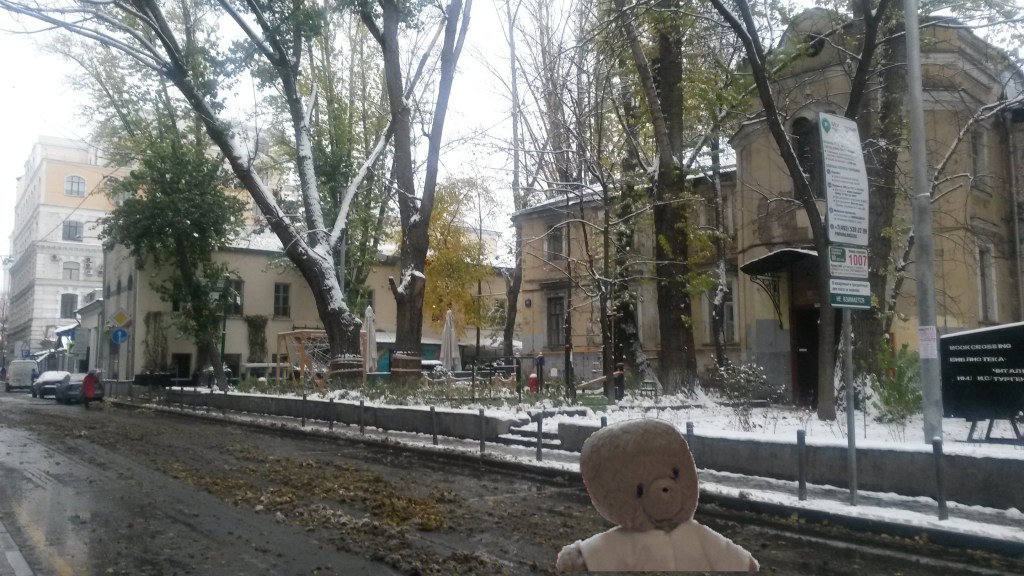
Many people assume that the Russian winter is hard to live through because it cold, but is not true – the interiors of buildings are kept warm (and often uncomfortably hot) by a huge city-wide communal hot water system. No, the Russian winter of 2007-8 was hard because of the lack of light. For five months the sun rises late and sets early, and even during the day the sky was usually a dark grey colour, as the city was covered with the smog from thousands of old cars sitting in huge traffic jams. After the long winter comes a short spring, but things don’t get much better. The winter snow thaws and turns into a yucky brown slush that coats your trousers and shoes.
Moscow in “spring”
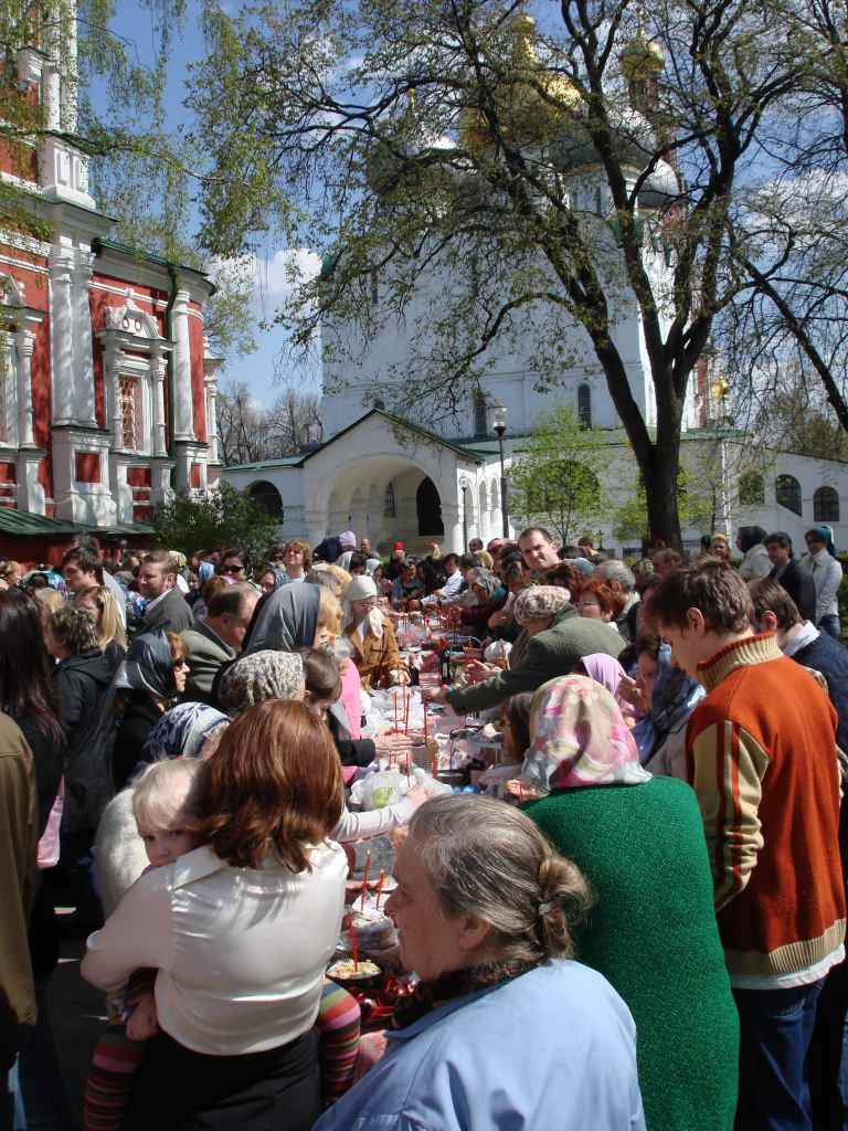
Finally, the snow melts away and the good weather arrives – and everyone leaves their cramped apartments and comes outside to celebrate. Sometimes this happens early with the orthodox Easter in late April or early May…….
Easter Celebration, Moscow 2008
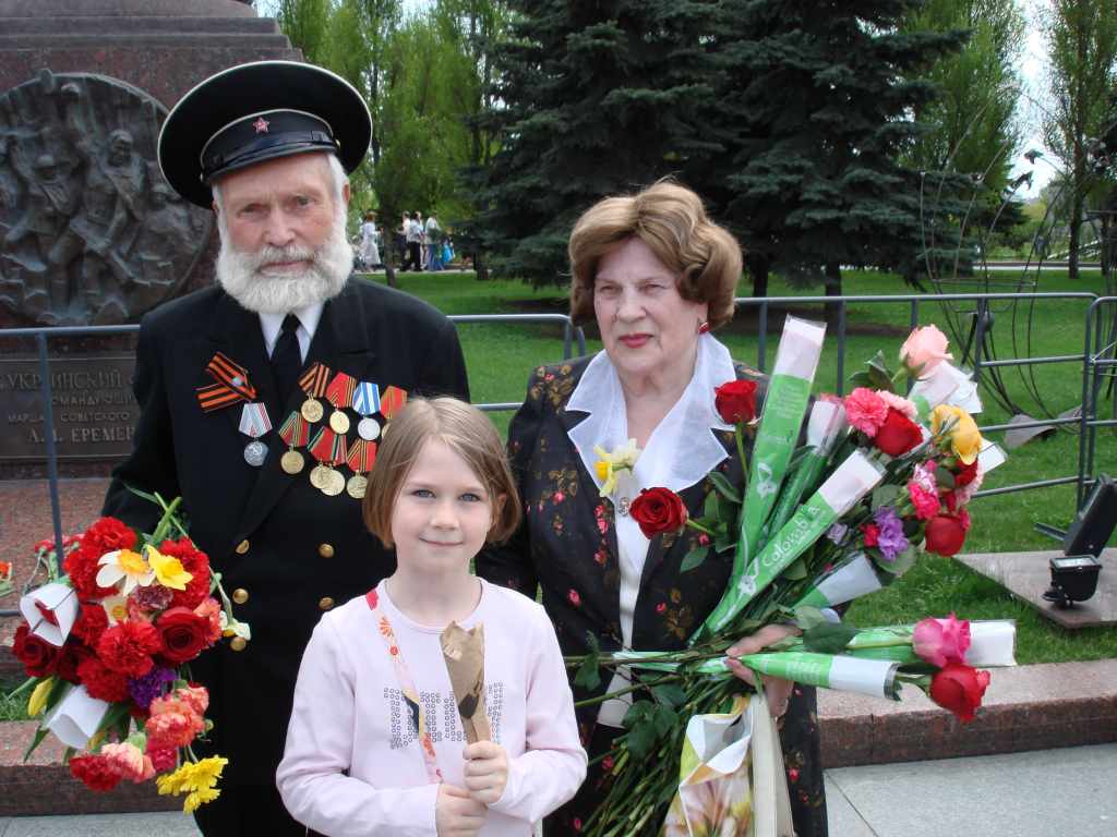
But more traditionally the good weather starts around Victory Day celebrations on the 9th, which are taken very seriously in Russia, a country that lost around a quarter of its population during World War II through military action or starvation. Of course, there is the famous parade on this day, but there are dozens of other activities taking place all through the city – concerts, lectures, fairground activities, street stalls selling WWII soldiers’ rations…. In 2008, there were still some war veterans alive, and there was a touching tradition of people offering them flowers.
Victory Day Veterans, Moscow 2008
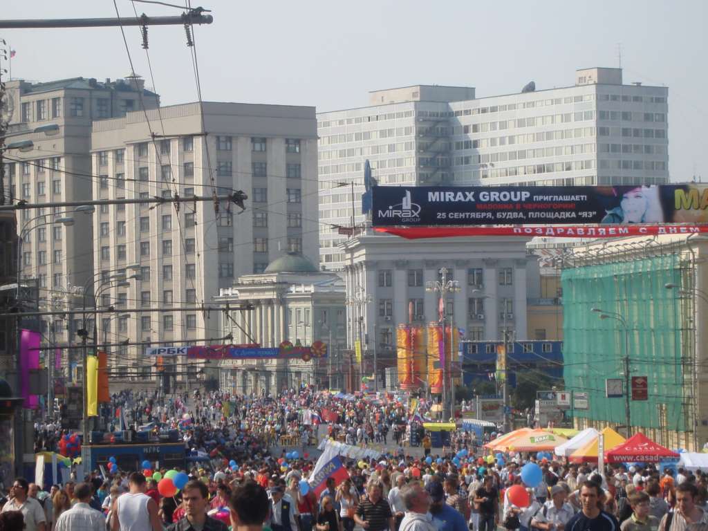
June, July and August bring the Russian summer. Just as winter is cold and dark, the summer is warm and light. The sun seems to hang in the air as a great glowing ball of fire, reluctant to dip below the horizon, and bathing the city in a strange orange light. The streets, once lonely and cold, fill with people enjoying drinks on pavement cafes, listening to excellent street performers, or simply strolling around and enjoying the weather.
Moscow City Day, 2008 – crowds on the street
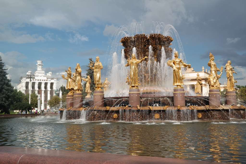
Apart from enjoying central Moscow, summer is also a great time to visit some of the attractions a bit further away, like VDNK, an exhibition centre built to celebrate the different republics that made up the Soviet Union and their supposed harmonious friendship….
The Fountain of the Friendship of Peoples at VDNK
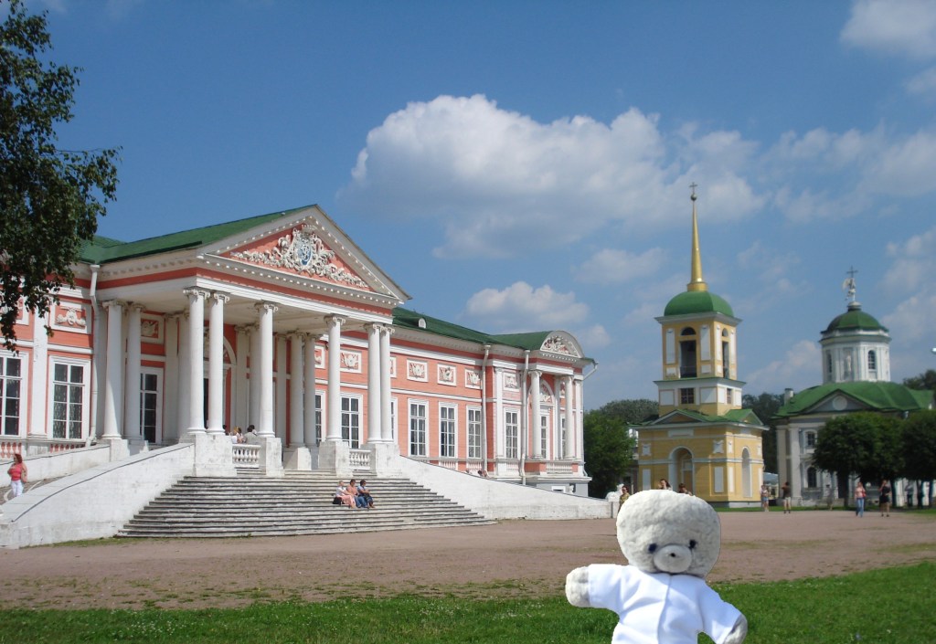
….or some of the old aristocratic or royal palaces that surround the city
A palace near Moscow
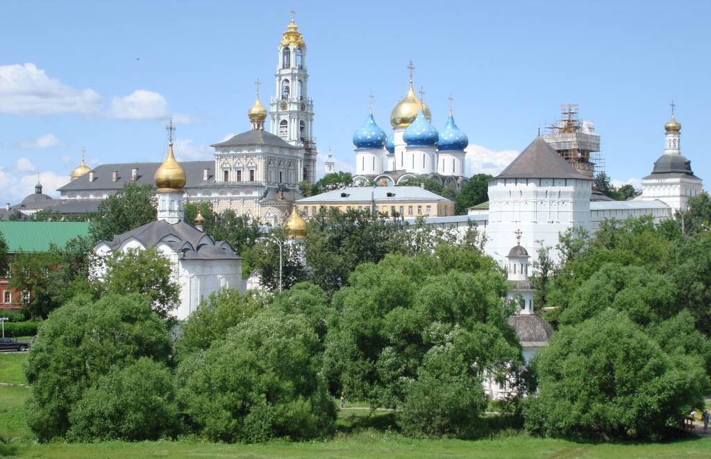
….or the pretty towns of the “Golden Ring”, like the important religious centre, Sergeev Posad.
Sergeev Posad near Moscow
The Moscow autumn is very short. The weather beings to change in September. In October, the leaves suddenly fall from the trees over a couple of short weeks and in November, the first snow usually falls, and the long winter begins again.
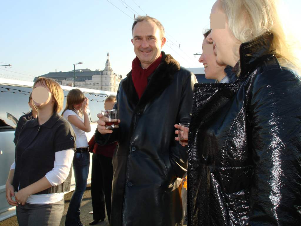
The Moscow of 2008-9 was an amazing place, full of contradictions and (usually pleasant) surprises. At first site, the Moscovites were a dour, unsmiling bunch, but once I got to know people, I made many lasting friendships. The city felt safe, because there were always lots of police on the streets, but in my relatively small expat community there were several violent deaths from bungled robberies or traffic accidents. When you went out, you could never be sure how the evening would end – quietly going back home or getting caught up in some drunk adventure with crazy Russians. One day I was walking over the bridge leading to the Kremlin with my chief editor, when we were accosted by a group of very merry ladies who were standing next to a stretch limousine and drinking cognac. They invited us to go for a drive, and……. the rest of the story can be read in my book, Caviar, Vodka and Tears.
My editor getting into trouble again…
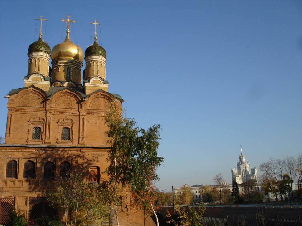
There was one special place that for me summed up the chaotic Moscow of 2008-9. It was a small parking area a short distance away from Red Square and was usually deserted. Directly in front of me, was a beautiful 17th century orthodox church. In the distance on the horizon, stood one of the “seven sisters” – impressive buildings commission by Stalin to celebrate the might of the Soviet Union.
My favourite Moscow view, left hand side….
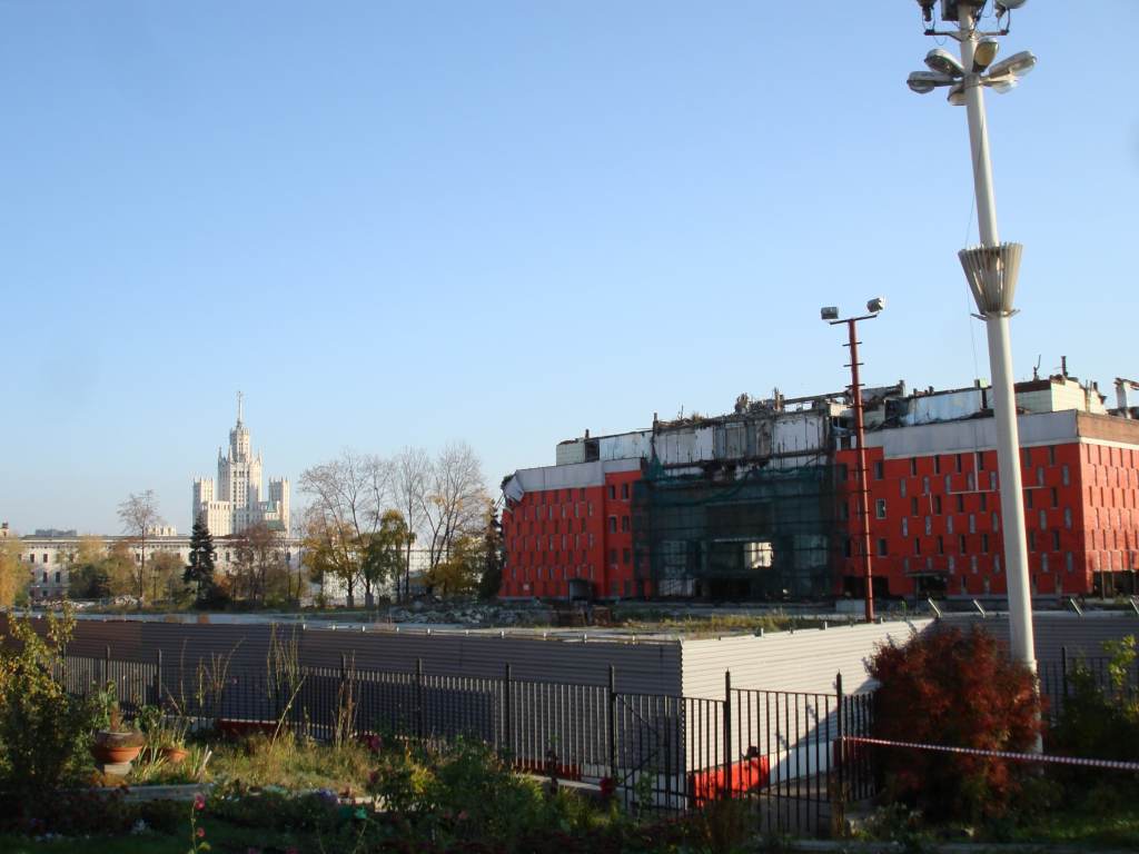
And to the right was the shell of an abandoned hotel surrounded by waste ground. This was the once elite Rossiya Hotel, used to accommodate dignitaries visiting the Kremlin. It was finished in 1967 but aged rapidly and was closed in 2006. A project was agreed to convert the area into an entertainment complex, but the developer who won the contract was accused of corruption and fled to the UK, leaving the decaying site you can see in the photo below.
…and right hand side
The power of the church, the state, and omnipresent corruption – this one vista summed up contemporary Moscow perfectly.
My next post will present the Moscow of 2013-2109, a city transformed by massive investment. Stay tuned to see how it changed and what happened to my favourite view!
















 Trouspinet travels