The wonderful Westfjords

Today I started my 3-day exploration of the Westfjords.  First, I discovered the remote Strandir Coast north of Holmavik. The road runs for about 60km before ending – the rest of the peninsula is accessible by boat only and houses Iceland’s (maybe Europe’s) most remote nature reserve. 

The beginning of the wild Strandir Coast

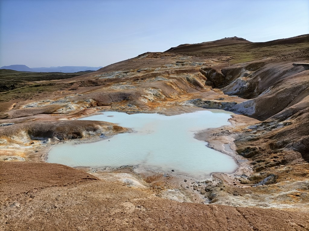
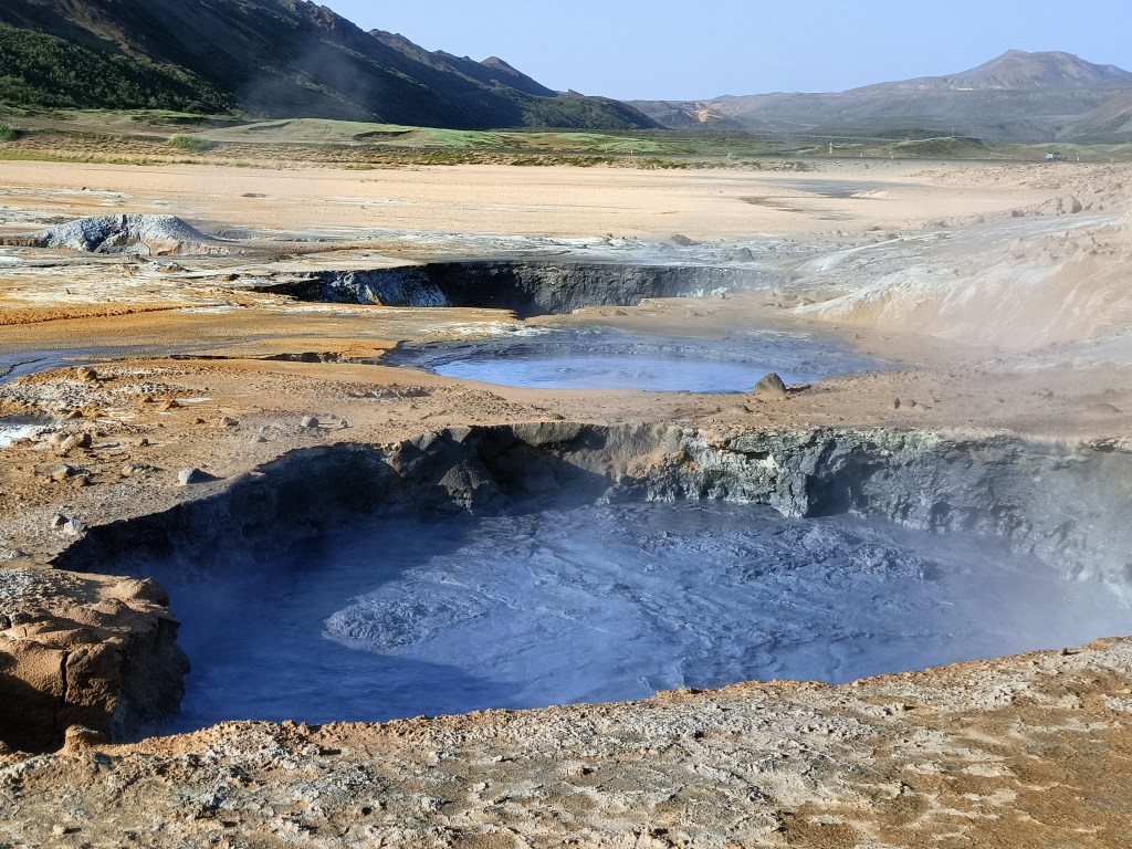
I contented myself with a short drive along half the road before stopping at a hotel with a large geothermal pool.  I enjoyed the views whilst floating in 38C water, before climbing out and sprinting through the cold air to try a tiny natural “hot tub” located a bit further up the mountain.

A natural hot tub

Feeling refreshed and clean, I tracked back to Holmavik to visit the Museum of Sorcery and Witchcraft. Icelanders have always been very superstitious, and in the middle ages, magic was widely practiced – mostly by men. Spells were used to protect against the extremely harsh conditions of the time, to make money, or to get even with enemies. Sorcerers could also produce magical artifacts, like the “necropants” on display in the museum. These are trousers made from the skin of a dead man, which are supposed to generate an endless supply of coins and make the wearer rich – but only if very detailed instructions are carefully followed. For a full description of this repulsive artifact see here. Magicians could also conjure fantastic creatures, like the tilberi.

The repulsive Tilberi

This horrible creature could be used to steal milk from the livestock of neighbouring farms. A full description of how to create, nurture, use and finally destroy a tilberi is found here. 22 people accused of practising witchcraft were burnt alive in the 17th century in Iceland.  The museum had an interesting collection of these stories. Justice was very arbitrary in those days. One local official had four people burnt over the years for using sorcery to make his wife ill (she had a frail constitution and was often ill).  Apart from having an interesting collection and intriguing witchcraft stories, the museum also served good coffee – the previous day had taught me just how rare this is in provincial Iceland, so I indulged myself.

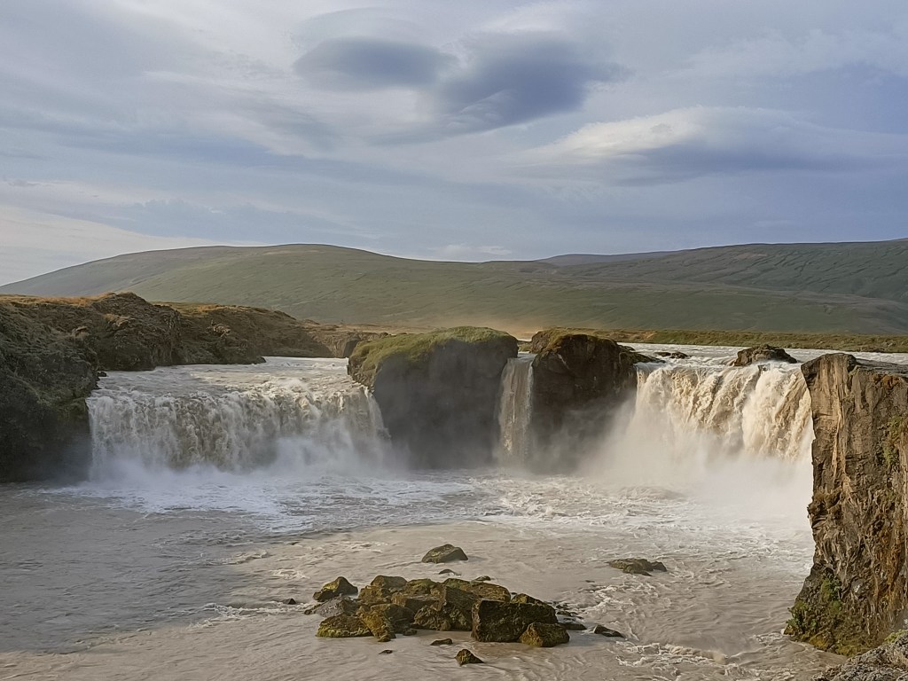
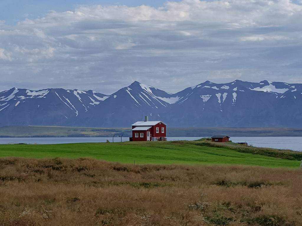
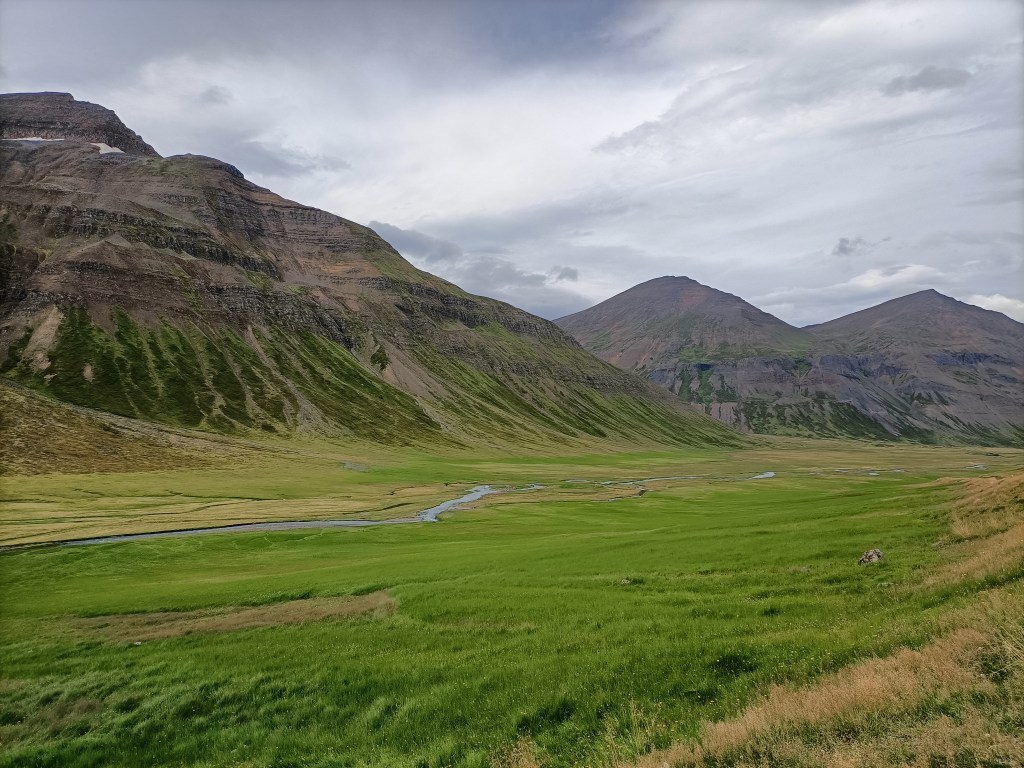
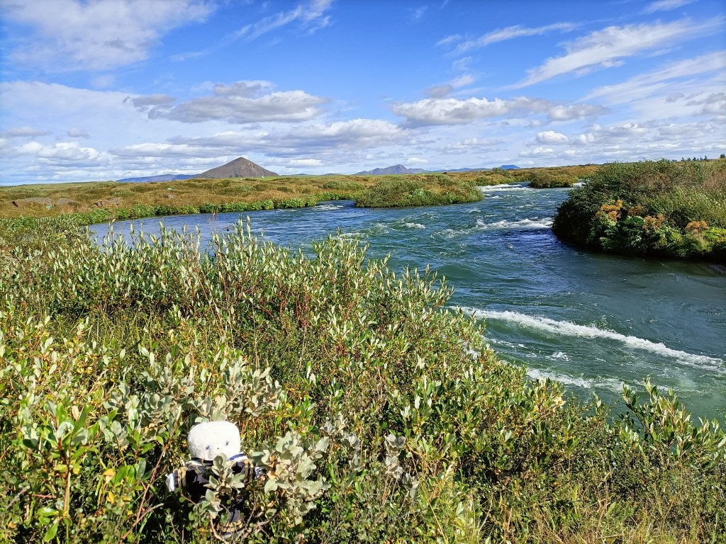
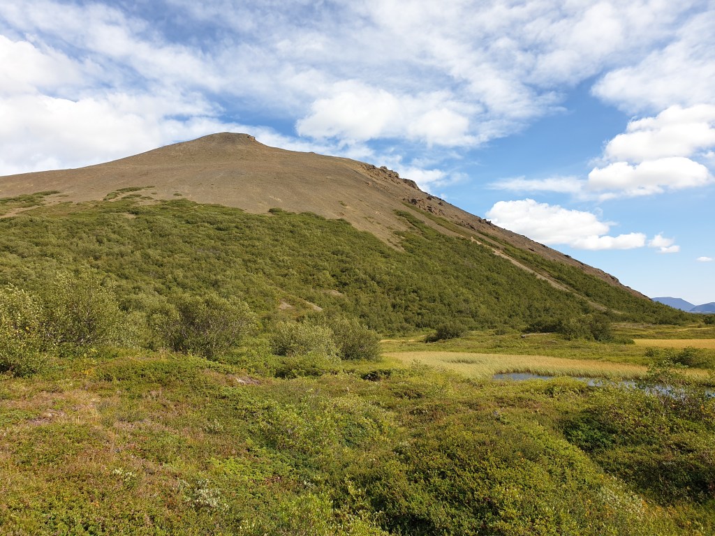
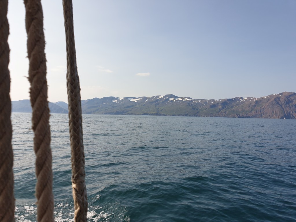
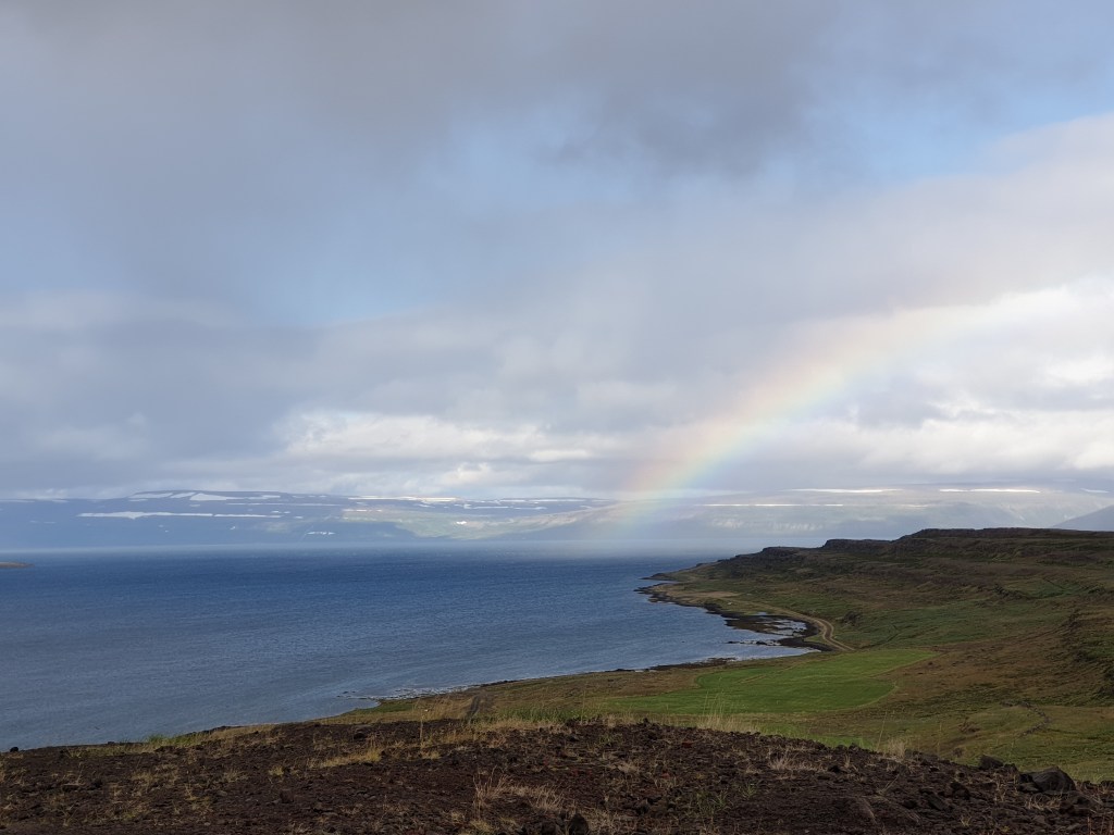
Refreshed and educated, I set off again on the 230km drive to Isafjordur, the main city in the Westfjords. The road headed over a mountain, where I was greeted by wind and rain again.  I was beginning to worry that I would see a repeat of yesterday’s weather, when the road dived down into a fjord and the sky cleared.  The road then hugged the coast, skirting no fewer than six huge fjords.  The scenery was amazing and I stopped often to take photos of the fjords, rainbows… and even some seals.

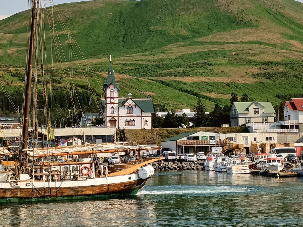
I arrived in Isafjordur in the early evening. It is a big town by Iceland standards, with a population of 2600 and a well-stocked supermarket. I stocked up with food for a few days and headed to my holiday rental to cook dinner, very happy with my day.

A long and difficult day

Today I faced a long drive from Myvatn, roughly half way along Iceland’s north coast, to Holmavik at the entrance to the western fjords.  My map said I could drive the 500km in six and half hours, but based on past experience I knew that it would take much longer after stops were added on, so I set off early.  First stop was another of Iceland’s famous waterfalls, the Godafoss or “waterfall of the gods”.  Helpfully it is located right on Route 1.

The Godafoss – yet another impressive waterfall

My next stop was for petrol at the teeming metropolis of Akueyri, which is Iceland’s second biggest city… with a population of only 18,191 (according to Wikipedia).  It is supposed to be an interesting place but I didn’t have time to stop. After Akueyri I opted for the long scenic detour of the Trollaskagri peninsula, which follows the coast, rather than the more direct Route 1, which stays inland.  Indeed the views were quite pretty, if not exceptional by Iceland standards. 

Pastoral green scenery at the east side of the Trollaskagri Peninsula
Forbidding mountains in the overland road in the centre of the peninsula

As noon approached, I really fancied a coffee and looked in vain for somewhere to stop.  Lonely planet recommended a couple of places but they were both closed (in the peak of the tourist season….).  “Surely there will be somewhere in the next town” I kept on telling myself………but each settlement was a tiny windswept village, often without any shops at all. The weather changed, and it became overcast, with rain showers.  My mood dropped. Finally at a place Hosfos I found a petrol station with a big shop attached…..and a café!  However, their only coffee come not form a machine but a large thermos flask that had been filled with cheap filter coffee, which had been brewed long ago.  I paid for a coffee and was given a paper cup to fill myself from the flask. Undrinkable. I searched on google for cafés near my location. The only place indicated within 100km was in an unlikely place – the tiny village of Holar, about 10km off the main road. Remembering that Holar (but not its café) was also mentioned in Lonely Planet, I decided to give it a go.

Despite the rain and clouds, Holar turned out to be a pretty little village nestling at the foot of tall mountains.  Although tiny today, Holar was an important religious centre in the past and was a bishopric from 1106 to 1798.  The see of Holar was restored in 1909 and there is a Bishop of Holar to this day.  Holar had a pretty church (technically a cathedral even) dating from 1760 and some traditional old buildings with turf roofs.  Continuing its tradition of being a centre of learning, Holar also has a (admittedly small) university teaching agriculture and tourism.

Holar cathedral with the university behind it

I could see a café attached the university buildings, but the lights inside were off.  I tried the door in desperation…………and it opened!  Inside was a small counter…….with a coffee machine. I rang a bell for service and a friendly Icelander served me expresso.  He also recommended his asparagus and mushroom soup, made with mushrooms from the mountains around Holar – it was delicious!

Soup and coffee – saved!

The café in Holar was a lucky find because the next stretch of road was very boring and would have been hard to do without refreshment.  The road rejoined the main Route 1, and ran, flat, monotonous and grey for mile after mile. Even Lonely Planet could not suggest anything worth stopping for in this dull, remote bit of the country. To make things worse, my car started to struggle against the ferocious headwind, and an array of warning lights appeared on my dashboard. I stopped to check the owner’s manual but found only Icelandic text. A search of the web (internet connection seems to be available almost everywhere around Iceland) suggested that the warnings were not critical and that I could carry on,  but I had an uncomfortable feeling – breaking down here would be worse than inconvenient, since there were no garages for miles.

As I left Route 1 for Route 68 going to the Westfjords, the weather improved, and my warning lights suddenly disappeared. I even stopped to take some photos.

Scenery at the start of the Westfjords

I finally made it to Holmavik at around 6pm – I had been on the road for nearly nine hours.  It was a tiny place, and was functional rather than pretty – but at least I had arrived.  The town had a shop, self-service petrol pump, a small port harbouring fishing boats, a pile of what looked like abandoned freight containers, a couple of guesthouses, a museum, and a cold wind howling along the main street.

Holmavik

Fortunately my accommodation was very good – unlike most of the places I had stayed so far, it had old furniture and looked like it might once have been someone’s home. And best of all it had a cosy living room with a comfortable sofa and view of the sea. I cooked the cod I bought in the local shop and celebrated the end of a long, difficult day with a glass of whisky.

Taking it easier at Myvatn

After two long and very busy days, I resolved to take it easier today and left late to explore Myvatn,  a large, shallow lake formed by a volcanic eruption 2000 years ago. The lake is lush and green, with lots of small islands, bubbling rivers entering or leaving the lake, and lots of bird life. It is surrounding by many interesting volcanic structures.  My only plan for today was to drive around the lake clockwise and see what I would find.  

Myvatn lake

My first stop was to climb the small mountain called Vindbelgjarfall, on the western side of the lake.  It was a steep but short walk, and from the summit there were fantastic views across the lake.  I found a little hollow in the mountain to shelter from the strong wind and enjoyed my sandwich lunch whilst taking lots of pictures.  

Vindbelgjarfall
The view from the summit
Another view from the summit
Yet another view from the summit – this time with “pseudo-craters” (more about these later)

Next stop was Dimmuborgir, on the east side of the lake. Here the lava from the eruption had made many strange shapes. I stopped for a coffee in the café at the entrance to the site and noticed an interesting item on the menu – “lava bread”.  This is bread made by placing dough and yeast underground, where the cooking is done by geothermal heat. I resolved to set off on a short walk and to buy some bread when I returned. After wandering around a bit on the many marked paths, I spotted a path leading to the volcanic cone of Hverfjall, about 2km away.  The path up to the foot of the volcano was very pretty, with lots of flowers and strange lava forms.

An arch of lava at Dimmuborgir, with Hverfjall in the distance
On the way to Hverfjall….

In contrast, the climb up was extremely hard and monotonous – the soft grey ash that formed the cone gave way under foot, and for every two steps up, I slid one step back.  When I finally reached the top, the view was only average – the crater had no water, and resembled a giant grey ashtray. The view of the surrounding area was good, but not as good as I had experienced in my morning climb of Vindbelgjarfall.  

….and on its rather disappointing summit

Remembering that the café closed at 5pm – even in peak tourist season many things close really early in Iceland – I hurried back, only to find that they had sold out of “lava bread”.  I guess it probably tastes exactly like normally bread, but who knows…….

I regained my car and continued my drive, this time to the southern shore of the lake.  Here the main attraction are the many small “pseudo-craters” – structures that formed when lava flowed over an expanse of water.  The water boiled, and the steam created exploded through the solidifying lava to leave lots of small craters.  

Pseudo-craters at the southern end of the lake

It was time to go back to my rental cottage.  For some reason I feel sleepy here all the time – maybe it is the fresh air, maybe the big variations in temperature during the day, or maybe a subtle effect of volcanic gases. I had dinner and slept well.

Whales (maybe) and Volcanoes

Today was busy.  First, I set off in brilliant sunshine for a whale watching trip from Husavik, about 30 minutes drive away.  My vessel was a pretty wooden boat called Hildur, that had sails as well as an engine. 

Husavik, a pretty town and Iceland’s whale-watching centre
My boat – the Hildur

Husavik is Iceland’s whale watching capital, and the four companies that provide excursions all had websites showing encounters with large humpback whales – sometimes with the whale jumping out of the water. One company boasted a whale sighting rate of 99.6%. Once we had boarded, our guide told us  ten species of whale have been seen from Husavik, including the blue whale, the biggest living animal. However, as regards actually seeing anything on our trip she was more downbeat, stressing that this was a matter of chance and where the whales happened to be feeding that particular day.  And so it proved – we sailed for two hours towards the mouth of the fjord, and only saw a few birds. Whilst there was a great view of the mountains from the sea, and I saw my first ever guillemot, that wasn’t what I had come for!

Pretty mountains….but no whales

It had been hot – T-shirt weather – in Husavik, but on the sea it was cold. I put on extra clothing but was still shivering – the lack of the excitement of a whale-sighting didn’t help.  The boat had just turned around to head back to port when the guide announced that their sister ship had spotted something.  We hurried to join them, and finally got a glimpse of a black whale’s back, and its dorsal and tail fins. It was a minke whale, one of the smallest and most common species – the same type of whale that had recently become stuck in the River Thames only a few miles from home in London. But all the same, it was a whale, so the trip could be considered a partial success. We watched it for a while as it surfaced and dived, reemerging in a new spot each time.  Its appearances were so fleeting that I gave up trying to film and just enjoyed watching.

Back on land, it was hot.  The strong variations in temperature, from hot to cold to hot again had made me very tired. I ate my sandwich lunch sitting the grass of the square next to the church, and then dosed off in the sun.  I felt better after my snooze, went to grab a coffee from a nearby restaurant, and then headed off to my next destination – a volcanic area called Krafla that was the site of major eruptions in the 1970s and 80s. Krafla is located just next to the major tourist centre of Myvatn, which I will visit tomorrow. The road went past a large geothermal power plant, which supplies all the electricity in the region. My first stop was an impressive volcanic crater, filled with brilliant blue water.

The Viti volcanic crater (“Viti” means “hell” in Icelandic)

Next, I backtracked a couple of kilometres to Leihrnjukur, the site of the 1970s eruptions. The area is still volcanically active to this day. A path led through the eerie landscape of sulphurous pools and volcanic vents belching steam, with a huge lava field from the eruption stretching away into the distance. It was important to stay on the path – in places, a narrow crust of earth covers areas of boiling hot water, and it is quite possible for people to fall through and be boiled alive. Toxic volcanic gases can also be a hazard in this area. Maybe because of this, there were very few tourists visiting this area and for most of my hike I was completely alone.

As close as I dare go – a steaming vent at Leihrnjukur
A volcanic pool
The lava fields stretch for miles

My next stop was to admire yet more volcanic activity at Hverir – a series of boiling mud pools and steaming vents located a little further down the valley.   This area was much more popular with tourists than the previous two, and people competed to be photographed next to the biggest and smelliest vents.

Bubbling mud pools at Hverir
Like the planet Mars….
Steaming volcanic vents dot the landscape

My final stop was Myvatn’s Nature Baths.  Here, they have made a large hollow in the ground and filled it with hot water taken directly from the boreholes of the nearby geothermal power plant. The water is a brilliant blue colour, due to suspended silica that scatters blue light – the baths are very much like the Blue Lagoon near Reykjavik, but less well known. The water arriving from the power plant is a scalding, pressurised 130C and is allowed to cool in a large storage lagoon before being pumped to the baths, which are a pleasant 38-42C. I spent a happy hour wallowing in the water, admiring the views over the volcanic plain to the mountains in the far distance. 

The Myvatn Natural Baths

The baths stay open until midnight and I thought about staying until the sunset at 9pm, but decided that spending three hours lazing in hot water was a bit too decadent.  Besides, I was now hungry, so I headed home and had an excellent dinner of fresh Icelandic cod after another busy and varied day.

My last day in the North

Today was the last visiting day of my holiday. It started with a quick visit of a Roman Fort near Hexham.

Ruins of a Roman Fort near Hexham

Then I headed north to the Northumbrian coast, where I parked in the pretty seaside port of Craster, and walked along the coast to visit the ruins of Dunstanburgh Castle.  In its time (it was built in the 14th century) it must have been huge, and rivalled neighbouring Bamburgh Castle. The castle suffered badly during repeated sieges in the War of the Roses when it changed hands several times between Lancastrian and Yorkist forces. There is not much left now, but it was still impressive, with great views over steep cliffs and the sea.

The entrance to Dunstanburgh Castle
Inside Dunstanburgh Castle – it must have been huge!

On one of the cliffs I noticed some cute, teddy-sized, penguin-like birds, which a quick search of the internet revealed were Auks.  I would have gone to say hello, but the cliff looked very steep, so I took photos from a safe distance. 

Cute Auks on a sea cliff

Back at the port, I enjoyed fresh crab sandwiches and a drink in the local pub, looking over the sea. From Craster I drove north along the coast road; it was a sunny Sunday afternoon and a lot of others had had the same idea.  I stopped briefly in Bamburgh for coffee and to admire the huge castle from the outside. Parts of the castle date from the 11th century and Norman times and it is amazingly well-preserved.  Unfortunately I didn’t have time to visit, but given the Sunday crowds this might not have been such a good idea anyway.

Bamburgh Castle dominates the horizon for miles around

From Bamburgh I headed further up north to Holy Island, home of the famous ruined abbey of Lindisfarne.  This was established as a monastery in 634AD and was a leading centre of learning and religion for all northern England.  The monastery was probably the first ever place in Europe to be raided by the Vikings, in 793.  Holy Island can only be reached during low tide, and many road signs advise you of safe crossing times and the perils of getting your timing wrong.  There isn’t much left of the abbey any more – yet another ruined abbey to add to my list for this holiday – but the site still somehow has a special feeling to it, and is very photogenic, with a 15th century castle looming on a hill in the background.

What’s left of Liindisfarne Monastery, one of the holiest places for early English Christians
The graveyard near Lindisfarnce monastery with the castle in the distance

After Lindisfarne, it was time to head on to my next hotel. On the way I passed two other famous castles, Alnwick and Warkworth, but didn’t have time to visit.  The whole area is rich in history – the many castles are a legacy of England’s turbulent relations with the Scots and also the struggle for power between local northern barons and the king.  Appropriately, my last hotel was also a castle – Lumley Castle, built by Sir Ralph Lumsley in 1389.  Sadly Sir Ralph backed the wrong side during one of medieval England’s many power struggles and lost his head shortly after the castle was finished. I ended my holiday in style with a room in the very oldest part of the castle.

Lumley Castle – a hotel built in 1389!
My room !

The next day was the end of my holiday, and I completed the long drive back down to London. It was a very varied and interesting holiday, despite indifferent weather and Coronavirus restrictions. I will definitely return to Northumberland the Scottish borders – there are easily enough castles and walks to fill a good week of holiday and in two days I only scratched the surface of these little-known destinations. The Lake District was just as beautiful as I remembered it – despite my policy of not visiting the same place many times, I’ll keep my book of Lake District walks, just in case. After all I still haven’t climbed Scafell Pike, England’s highest mountain.

A road trip into Scotland

The next day I said farewell to my cottage and set off on a long driving tour into the Scottish borders and then back to Northumbria in England.   I first made a small detour to see the north western part of the Lake District, around Keswick and Buttermere.  This turned out to be a bad idea – the weather was poor, and with the arrival of the weekend, lots of other motorists had the same idea.  I spent most of the time squeezing past oncoming vehicles on the tiny roads rather than looking at the scenery, but I did stop to take a photo of beautiful Buttermere in the rain.

Buttermere in the rain

From there I headed straight north up the M6 into Scotland, leaving the motorway at Moffat.  This was a pretty little town, and much less touristy than the Lake District. Scotland had not fully emerged from its Coronavirus lockdown, so some shops were closed and everyone wore masks. I searched hard for a tea or coffee room, like there are all over the Lake District, but couldn’t find even one. In Scotland people seem to do their drinking in pubs (which were open) and drink beer rather than coffee at lunch time.  I also had to search hard for somewhere to buy lunch, but finally found a bakery. After many communication problems caused by face masks and the owner’s broad Scottish accent, I finally managed to order three scones.  A final communication issue arose when I couldn’t believe the price – only £1.65 in total. You’d pay that per scone in London. 

From Moffat I headed off along a country road, through rolling, empty hills. The straight and broad road was a relief after the twisty roads of the Lake District.  I stopped briefly – along with what looked like half of the local borders population – at a local beauty spot called the Mare’s Tail, where there is a pretty waterfall.

Me wtih the Mare’s Tail in the background

Then I headed on through Selkirk to Abbottsford Castle, the home of Sir Walter Scott (author of many classic British novels, such as Ivanhoe and Rob Roy).  The castle was still closed (Coronavirus again) but I spent a very pleasant half hour strolling through the beautiful gardens.

Sir Walter Scott’s castle and garden at Abbottsford

From Abbottsford, I headed on to Melrose, yet another pretty borders town with a nice central square and ruined abbey.

Melrose – pretty town but no tea room!

 I searched again in vain for a tea-room, but there were none, not even closed ones. One pub was open, but was full and wouldn’t let me in.  Just outside of Melrose I visited another local beauty spot called Scott’s View- three hills rising out of rolling Scottish countryside.  It was a beautiful sight in the late afternoon sun.

Scott’s view

Last on my Scottish excursion was Kelso, another small market-town.  All these towns seem to be built to the same pattern, with a pretty central square and ruined abbey.  I arrived after five o’clock so had no hopes of finding a coffee room open (I didn’t even see a closed one) but did I stumble across a Co-op and stocked up on some snacks and some cans of cold latte to help me drive the remaining two hours to my hotel.

The abbey at Kelso

From Kelso my route took me back south to England.  I passed through Jedburgh, which was also supposed to be worth visiting – but it was late and I’d seen enough pretty town squares and ruined abbeys for the day.  The border with England was marked by a Scottish flag and large “Goodbye from Scotland” sign on the Scottish side….and a small inscription “England” on a stone on the other side.

Enthusiasm for the border seems to be rather different between the Scots and the English…

The road continued through rolling hills of the Northumberland National Park and yielded one further interesting detour to see a part of Hadrian’s Wall. 

Nearly 2000 years old

Hmm, small………Not nearly as impressive as the Great Wall of China (see my very first blog for a description of this), but given that it is nearly 2000 years old it’s still remarkable.  Apparently, there are more extensive sections elsewhere but unfortunately my route didn’t go past them.  I finally arrived at my hotel in Hexham at around 8pm.  I’d picked a really nice hotel, facing………yes, another medieval abbey, only this time still in use as a church.  I had a quick stroll around town – another pretty place, very similar to the others I had visited – before enjoying a surprisingly sophisticated dinner in my hotel’s restaurant.

An unplanned excursion and one last hike

Thursday’s weather forecast was for more grey cloud and some light rain, so I decided to do a short low level walk instead of climbing another peak.  However, I missed the turning off the main road to the start of the walk and found myself on the road to Barrow. I made a quick decision not to turn back but to carry on and do a driving tour first before the walk. The road left the mountains and then followed a pretty coastal route, before reaching Barrow. I  had expected the city to be poor, and suffering from the collapse of the British shipbuilding industry, but instead it seemed quite active, and had some fine and well-maintained Victorian architecture from its glory days.  On the road back from Barrow I noticed a sign for Furness Abbey, so I decided to visit that.  The abbey used to be the second biggest in England, but was destroyed in the Reformation by Henry VIII.  The remaining ruins were very atmospheric – it helped greatly that I was almost the only visitor. I enjoyed my sandwich lunch  at a pretty spot by a small stream.  By the time I’d finished visiting, there wasn’t time to do my originally planned walk any more, so I headed back to the cottage.

Furness abbey ruins
Where I had my lunch
Shades of green….

Friday was my last full day in the cottage, and I opted for another classic walk – climbing the Langdale Pikes in the very middle of the Lake District.  I took a roundabout drive to get there, taking the smaller rounds around the west of Lake Windermere.  These turned out to be winding and very narrow, and a real test of my driving skills.  One compensation of my route was the opportunity to visit Hawkshead, a pretty small village with many very nice tea shops.

One of two pretty tea shops I visited in Hawkshead
On the road to the Langdale Pikes

The hike up to the Langdale Pikes was almost as enjoyable as Helvellyn.  The walk started up a broad valley, surrounding ahead and on each side by  almost sheer mountains, with the distinctive dome-shaped Langdale Pikes on my right. 

The view at the start of the walk
Looking back along the valley before starting the climb

Then I climbed up alongside a stream to a plateau, with views out to Scafell to the west.  Next came another climb to Pike o’Stickle mountain and a short, easy, hands and feet scramble up to the top.  The view from there was the very best I’d seen so far – a sheer drop on two sides, views back down the valley to the east, to Scafell to the north west and as far as the sea to the  south-west.  There were even seagulls for company, gliding effortlessly in the stiff breeze. 

The view from the top

The walk was supposed to continue with a climbing of the other “pikes”,  but it was getting late – all that time I spent having tea and cakes in the morning! I thought the view would be pretty much the same from all of the others, so I took a short-cut back down the mountain. I arrived back at the car park in bright sunshine and was very happy to find a nice pub with a beer garden and views of the mountains. I toasted my latest climbing success with a lager shandy and suddenly remembered that this was the first day of the week when I hadn’t rained at all.

A quiet day at home and a day at Grasmere

The weather forecast of Tuesday was cloud ad rain, so I stayed at home recovering from my conquest of Helvellyn and enjoying the cottage.  I did a little local walk from the cottage to a small nature reserve which apparently was the home to nine types of rare moss. 

All this rain makes for thick moss

Wednesday’s weather was better, and I drove out to a village called Grasmere for another hill walk.   I was now becoming very familiar with Lake District Hill walk – there is usually a bit of walking up a gentle slope alongside a pretty stream, and then a steep climb to enjoy the view from the top of a mountain.  Then a long descent, that at the end becomes more tiring (on the knees especially) than the climb. 

The easy start to today’s walk
Now the climb….

Today’s walk followed this standard pattern but was enriched by some unexpected company.  About half way up the climb, I saw a famer using his dogs to herd sheep down the hill. It was an interesting site and three of the four dogs did their work professionally. The fourth one was more interested in making friends with me.  The farmer shouted “Ned, come on!” several times, but then gave up on his youngest dog team member and headed down the hill.  I continued my walk up with Ned playfully running ahead of me, behind me, or following at my side. 

Ned shows the way across a stream

When I took a rest to catch my breath, he’d roll around beside me on his back, tummy in the air, expecting a tickle.   Ned followed me all the way to the top of the hill, from where  the usual spectacular view was enhanced by a glimpse of the sea to the west. 

I enjoyed Ned’s company but was getting a bit worried – surely the farmer would want him back?  What would do I if he followed me all the way back to Grasmere, I couldn’t take him with me.  In the end Ned solved the problem himself but attaching himself to another couple of walkers I met on the way down.  I hurried off  downhill and out of sight before he changed his mind.

On the way back home, I stopped in an upmarket supermarket and bought some excellent lamb and red wine for my dinner in the front of the wood fire.

Conquering Helvellyn

Undeterred by my “practice” walk, today I resolved to climb Helvellyn by the famous Striding Edge route.  The weather forecast for the rest of the week didn’t look promising, and this was the only day I was sure of getting some sun. Striding Edge can be dangerously slippery in the rain, so it was today or never. 

I parked my car in a village on Ullswater lake, and set off on a well-marked path, part of a steady stream of other walkers.  The path led steadily up grassy hills, with fine views back across Ullswater. After I reached the crest of the first hill,  a magnificent vista opened up of the high fells, with the massive bulk of Helvellyn looming up in the distance. The summit looked very far away and very high.  On each side of the mountain a steep ridge led up – Striding Edge, my way up, to the left, and Swirral Edge, my return route to the right. 

The view back to Ullswater

I’d climbed Helvellyn once before by a different route and looked down on these “edges”, wondering how anyone could possibly walk along them but when I got closer and could see the path along Striding Edge, I felt a bit reassured. 

Start of Striding Edge with Helvellyn summit in the distance
Negotiating Striding Edge
Looking back along the Edge

There was indeed a steep drop on both sides, but by being careful and holding on with both hands, it was possible to clamber over or around the ridge. 

View from a rock platform

Occasional flat platforms in the rock gave me a chance to catch my breath, admire the stunning views over the fells, and see how other climbers were doing. Some had obviously been here many times and progressed fearlessly and quickly, but most proceeded as slowly and cautiously as I did.  Eventually I reached the end of the ridge, from where I had to scramble with my hands to the summit up a steep rocky slope.  I was rewarded by a spectacular view back down the mountain, over the Edges and back to Ullswater.  

Made it! View from the top of Helvellyn

Although the climb was bigger than the first day – Helvellyn is 950m high – the good weather, the more gradual slope at the beginning and the excitement of negotiating Striding Edge meant that it felt  much easier.  I had a quick sandwich lunch at the shelter at the top, admiring the view, before the increasing cold (the sun was now hidden in cloud) encouraged me to start the return trip down Swirral Edge. This ridge required much less hand and foot climbing and I was soon back on a grassy slope.

The way down via Swirral Edge

My trekking guidebook encouraged me to make one last climb up to a small isolated peak called Catstye Cam – from where the view was possibly even better than before, because you could see the sheer cliff under the summit of Helvellyn. What’s more, the sun had returned and unlike the main summit, there were no people. I sat down for a break and to take in the stunning scenery.   

View from Catstye Cam

From Catstye Cam, the trip back seemed longer than the climb up and even became a bit boring at the end, but my spirits rose when the village came into sight.  I arrived just after 5pm and was amazed that all the tea shops had already closed, but this didn’t detract from a great feeling of achievement at having completed one of England’s classic hikes.

Return to the Lake District

Since Coronavirus has made international travel difficult – quarantine rules apply even for a teddy bear unlikely to be susceptible to a human virus – this year  I stayed at home for my summer holiday. I returned to the Lake District, which I first visited around 15 years ago. Since then my travels have taken me all around the world – from Kamchatka to Kyrgyzstan, and from Ireland to Iran. Out of the all these places, I have a list of a few places that I would return to –  the world is big, and there are so many places to see, so a place has to be very special to make it on to the “return” list.  The Lake District is firmly on the list, and this year seemed like the best time to visit it a second time.

My first day was a long but smooth drive up the M40 and M6 to my holiday cottage. The owner’s directions warned that it was remote, that the roads were full of potholes, and that SatNav should not be trusted – all of which turned out to be correct.  It was raining but I could already appreciate the pretty scenery as a I left the M6 onto the Kendal-Windermere road, and then found an unnumbered narrow road that led to the tiny village of Winster.  From there a bumpy track led  to our cottage,  a traditional building next to a stream at the bottom of a wooded hill, facing a bright green flowery meadow.  It was getting late to I unpacked and settled down to dinner (I’d brought a lot of food with me from London) and a glass of wine in front of the big wood fire.

My cottage (NOT the day I arrived…..)

The next day I planned a practice short walk to prepare for more ambitious treks later in the week.  Low clouds hung in the sky, but the weather forecast promised some sun later in the morning before a return of heavier clouds and rain in the afternoon.  I picked a walk from my book graded 2 out of 5 for difficulty and supposed to last around 4 hours – such that I should be finished before the rain came.   I had yet to learn two facts of Lake District life. Firstly the weather forecast should not be taken literally and  is only a broad indication of the types of weather you might meet during the day. Whatever happens, they will always be some sort of rain, whether it be a short shower, prolonged drizzle, or powerful storm.  Secondly,  there are no easy strolls in the hills – any hill walk will always involve a steep climb of several hundred metres. The Lake District’s mountains sound puny by international standards – the highest, Scafell Pike, is only 978 m high – but the starting point for any walk is always close to sea level, so climbing any peak will always involve lots of very steep climbing.  Both of these truths hit me on my first walk. Initially the path from the car park followed the shores of a lake – or tarn, as they are called here – accompanied by a soft and bearable drizzle. 

Then the route went relentlessly up a very steep grassy hill – I am guessing that the slope was 1 in 2 – and a strong wind transformed the gentle drizzle into a nagging, penetrating rain.   I reached the top soaked with the heavy sweat that builds up under waterproofs during intense exertion. The promised spectacular view was partially hidden by the clouds, and the cold wind encouraged me to move on quickly rather than stand and enjoy it. 

Cold Teddy…

The guidebook offered me a short-cut to finish the walk early, which I took gladly. On regaining my car, the sun promised by the weather forecast finally arrived – a few hours later than forecast. On the way home I decided to pop into Winster’s local pub. I was expecting something old and traditional and quiet, but whilst the outside of the building indeed looked traditional the inside was modern, cheap, and noisily crowded with people finishing Sunday lunch. To further dampen the experience, I was offered a pen at the bar and asked to write down my contact details in case there was a Covid 19 case in the pub and I needed to be traced. I looked at the cheap, heavily used biro that the barman was holding out to me and which every other pub visitor had presumably handled. I found my own pen and signed with that instead.  I found a table as far away as possible from other visitors and hurried to finish my beer – the whole experience felt very remote from the traditional English pub visit that I love, and I didn’t stay long. Although my first day hadn’t been a great success, I sat down to a nice meal and drink in my cozy cottage and hoped for better things the next day.

Blog at WordPress.com.

Up ↑